
MBNEP Leads Landscape-Scale Efforts to Restore Streams, Shorelines Across Coastal Alabama
The Mobile Bay National Estuary Program has completed more than 25 stream restoration projects and four shoreline and marsh restoration projects across Mobile and Baldwin counties.
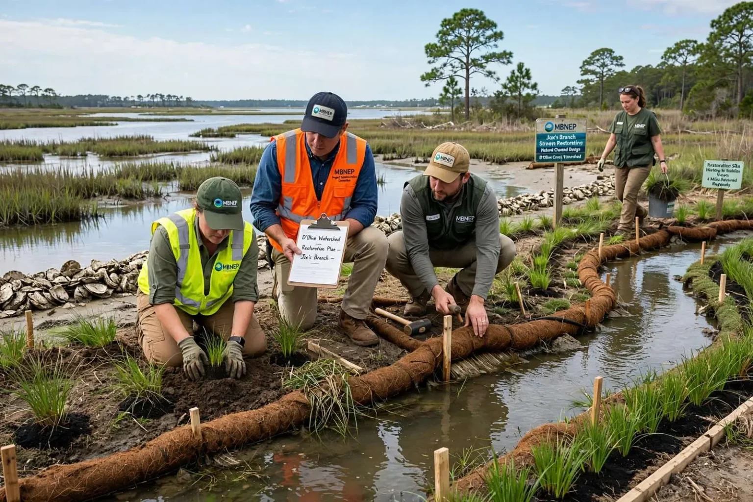
The Mobile Bay National Estuary Program is leading a series of landscape-scale restoration efforts aimed at protecting the ecosystem functions and services that coastal Alabama residents value most, from healthy streams to stable shorelines and marshes. The work — spread across Mobile and Baldwin counties and spanning watersheds that drain into Mobile Bay and its tributaries — represents one of the region’s most ambitious attempts to get ahead of the environmental damage that decades of growth have compounded along the coast.
MBNEP is one of several local entities involved in restoration work across Mobile and Baldwin counties, and it serves as a convener of planning and implementation resources for the region. In a landscape of city governments, county commissions, state agencies, utilities, watershed associations and private landowners, someone has to align the players — and that convening role is precisely what the estuary program was created to fill.
The organization’s Project Implementation Committee brings together technical experts, funding sources and engineering capacity to apply nature-based solutions that restore and protect priority habitats along Alabama’s coast. The committee model turns good intentions into construction schedules: scientists identify the impaired water bodies, engineers design the fixes, and funders — federal grants, state programs, local matches — pay the invoices.
Stream restoration
Rivers and streams serve as the lifeblood of coastal watersheds, carrying fresh water from upland areas down to estuaries and the Gulf of Mexico. When those streams function properly, they filter sediment, buffer floods and deliver the clean fresh water that estuaries like Mobile Bay depend on. When they degrade, everything downstream pays the price — from the oyster reefs and seagrass beds that need clear water to the municipal intakes and recreational waters that define coastal life.
According to data from the Alabama Department of Environmental Management, more than 50 stream segments in Mobile and Baldwin counties are currently listed as impaired under Section 303(d) of the Clean Water Act, largely due to urban stormwater runoff, sedimentation and nutrient loading. The 303(d) list is the Clean Water Act’s official register of waters that fail to meet quality standards, and the concentration of impaired segments along Alabama’s coast mirrors the region’s growth: every rooftop, parking lot and clearing of vegetation sends more runoff, more sediment and more nutrients into the drainage ways that once carried clear water to the bay.
To address those impairments, MBNEP uses natural channel design, a form of green infrastructure, to restore degraded streams that are contributing to water quality problems through sedimentation and the loss of riparian habitat and wetland function. Natural channel design rebuilds degraded streams to resemble the stable systems nature would have produced — restoring meanders, riffles and pools, replanting native vegetation along the banks, and giving flood water a place to spread out instead of cutting deeper gullies with every storm.
The organization has completed more than 25 stream restoration projects to date, stabilizing more than four miles of stream across the region. Each stabilized mile is measured not just in feet of bank protected but in tons of sediment that no longer wash downstream, clouding the water column and smothering the bay floor where oysters, fish and bottom-dwelling creatures need habitat.
The D’Olive watershed and Joe’s Branch
Projects have been implemented in the D’Olive, Fish, Magnolia River and Three Mile Creek watersheds, with the most significant restoration effort concentrated in the D’Olive Creek watershed. One notable example is the Joe’s Branch stream restoration project, part of the broader work underway in that watershed.
The D’Olive system — D’Olive Creek, Tiawasee Creek and Joe’s Branch — drains the fast-developing ridge land of Daphne on the eastern shore of Mobile Bay, dropping steeply toward the bay over a short distance. That geography makes it unusually vulnerable: the watershed’s soils erode readily, its slopes invite development, and its streambeds sit between the two. Decades of construction upstream sent extraordinary sediment loads into the creeks, filling their channels, killing aquatic habitat and delivering a continuous plume of silt into the bay’s shallows along one of its most visible shorelines.
The restoration strategy for the watershed grew out of one of MBNEP’s signature planning products — a comprehensive watershed management plan that mapped the sources of degradation and prioritized the interventions. Restoring Joe’s Branch, a tributary that had become a deeply incised eroding gully, stabilized a major sediment source at its origin rather than fighting the fallout downstream. The project’s approach — regrading the channel to a stable geometry, installing structures that dissipate the energy of storm flow, and replanting the corridor with deep-rooted native vegetation — has become the regional template for what natural channel design looks like on the ground.
The other named watersheds tell complementary stories. Three Mile Creek drains a heavily urbanized corridor through the city of Mobile toward Three Mile Creek and its confluence near the Mobile-Tensaw Delta, and its restoration intersects directly with the city’s neighborhood revitalization and greenway ambitions. The Fish River and Magnolia River watersheds in south Baldwin County anchor some of the region’s most productive shellfish-growing waters, where water clarity and bacteria levels determine whether oyster and clam harvesting areas can remain open — giving restoration work there a direct economic measure.
Shoreline and marsh restoration
Alabama’s intertidal marshes and flats play a critical role in protecting coastal communities, sustaining water quality and supporting the fisheries that anchor the region’s culture and economy. The marshes that fringe Mobile Bay and its tributaries absorb storm surge, trap sediment, filter nutrients and provide the nursery habitat for the shrimp, crabs and fish that support the seafood industry and the recreational fishing traditions of the coast.
Those systems have been shrinking. Boat wakes and storm waves erode shorelines hardened over generations by bulkheads and riprap; altered hydrology starves some marshes of the sediment they need to keep pace with rising seas; and development has claimed marsh acreage outright. When a marsh erodes, the losses compound — each loss exposes the shoreline behind it to more wave energy, accelerating the next retreat.
Living shorelines on the bay
The restoration response along Alabama’s shore has favored nature-based designs over hardened ones. Living shorelines — combinations of planted marsh, oyster breakwaters and gentle stabilization structures — protect property while rebuilding the habitat that bulkheads destroy. Where a seawall reflects wave energy and scour the bottom in front of it, a living shoreline absorbs energy, accumulates sediment and grows upward as conditions change.
These approaches fit the estuary program’s larger method: identify the habitats coastal residents most depend upon, measure their condition, plan at the watershed scale and then implement projects where the return per dollar is highest. A marsh restored where wave energy is moderate, where the substrate supports plantings and where the adjacent waters feed productive fisheries delivers benefits measured across decades rather than seasons.
Why the landscape scale matters
The phrase “landscape-scale” in MBNEP’s work is not a flourish; it is the difference between a demonstration and a recovery. A single restored stream reach or a single living shoreline is a local improvement. But sediment, nutrients and storm water move across entire watersheds, and habitat types connect to one another — upland streams feed tidal creeks, tidal creeks feed marshes, marshes shelter the fisheries of the open bay. Fixing one link while the others degrade yields modest returns; restoring them as a connected system is the only approach that changes the trajectory of the bay itself.
That is why the watershed management plans the program has produced across the region matter as much as any single construction project. Each plan inventories the watershed’s condition — its impaired stream segments, its erosion sites, its land-use trajectory — and sequences the restoration work accordingly, so that money and effort land where the science says they will do the most good.
What it means for coastal residents
The program’s focus on “ecosystem functions and services” translates directly into the things coastal Alabamians say they value: water they can fish and swim in, shorelines that hold their ground, fisheries that support both commercial families and weekend anglers, and the resilience to weather hurricanes and prepare for their return. Every stream segment removed from the impairment list, every mile of bank stabilized, every acre of marsh replanted is a down payment on those values.
For Mobile and Baldwin counties, the stakes rise with each census. The two counties have grown faster than most of Alabama for decades, and the growth pattern — homes and commercial strips spreading across former forest — multiplies the impervious surfaces that drive the stormwater and sediment problems the estuary program fights. Restoration alone cannot outrun unchecked runoff, which is why the program’s convening role extends to educating developers, local governments and homeowners about the practices that prevent the damage in the first place: better erosion controls on construction sites, retention of natural vegetation, pervious pavement and rain gardens that keep rain where it falls.
The funding landscape has also shifted in the estuary’s favor. Restoration work across the Gulf Coast now draws on a generation of penalty money and recovery funds tied to the Deepwater Horizon oil spill, channeling resources into exactly the kind of watershed-scale, science-planned projects that MBNEP and its partners have spent years preparing. Plans written in years of lean budgets become shovel-ready projects when the funding arrives — the practical payoff of the program’s insistence on planning before pouring.
The work continues across the four named watersheds and beyond: more stream miles to stabilize, more shorelines to convert from eroding edges to living ones, and more segments of the 303(d) list to work back toward health. What the Mobile Bay National Estuary Program has demonstrated along Alabama’s coast is that with the right coalition — scientists, engineers, funders and the communities whose lives the water sustains — degraded landscapes can be brought back, one watershed at a time.