
Mississippi EMA reports tornado, storm damage across 35 counties after April 18 outbreak
Mississippi EMA received tornado and storm damage reports from 35 counties after the April 18 outbreak, with one confirmed storm-related death.
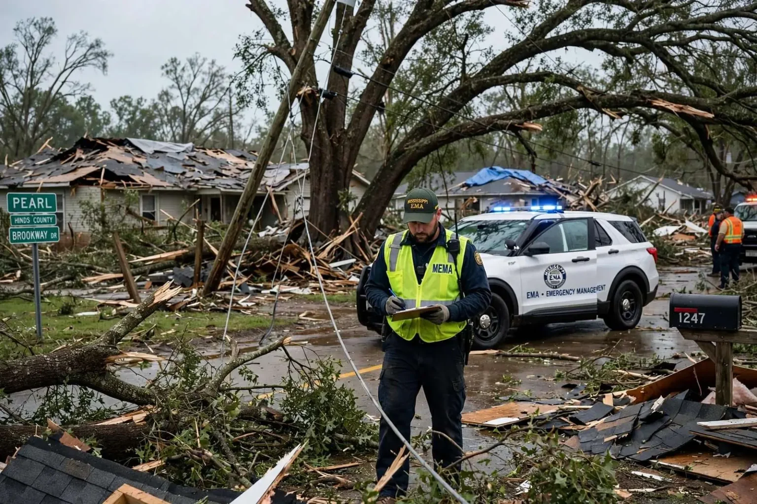
PEARL, Miss. — The Mississippi Emergency Management Agency has received damage reports from 35 counties following the tornadoes and severe storms that struck the state on April 18, a scope of damage that reached from the Gulf Coastal Plain to the Tennessee line and kept emergency officials working through the weekend and beyond.
The National Weather Service office in Jackson has so far confirmed two tornadoes in Hinds County, and according to MEMA it plans to keep survey teams in the field until all possible tornado assessments are complete. That work — the slow, methodical mapping of damage paths — is what turns a night of chaos into an official record of what struck where and how hard.
Two deaths occurred during the storms, though only one has been confirmed by MEMA as storm-related. The distinction matters in the agency’s accounting: officials do not attribute a death to a storm until medical and local authorities have established the connection, and the confirmed toll can rise as investigations of the second death and of injuries across the damage zone continue.
How Mississippi Counts a Disaster
The 35-county figure is not a final tally. MEMA described the initial reports as preliminary assessments submitted by county emergency management offices, and the agency cautioned that the numbers could rise or fall as more information arrives from the field. County offices are the state’s front line in the hours after a severe weather outbreak, collecting reports from sheriff’s deputies, volunteer fire departments, road crews and residents themselves, then passing what they find up to the state level.
That structure is by design. Mississippi’s emergency management system runs from the bottom up: each of the state’s 82 counties maintains its own emergency management agency, and in a disaster the county director assesses local conditions first, then requests state resources if local capacity is exceeded. MEMA, headquartered in Pearl just east of Jackson, coordinates those requests, activates state support and serves as the bridge to federal assistance when the scale of damage warrants it.
In an event touching 35 counties, the preliminary reporting stage can take days. Rural counties in particular rely on volunteers and citizens to report damage on back roads that no official has yet reached, which is one reason the agency’s count is treated as a living document rather than a final verdict.
The casualty figures follow the same discipline. Emergency managers distinguish carefully between deaths that occur during a storm and deaths confirmed to have been caused by it, and a second fatality remains under review until the connection is established. Injuries, too, are counted and updated as hospitals and county officials report in — a process that often extends for days after the skies clear, while the confirmed death toll of one stands as the state’s current official figure.
Mississippians have watched this process play out many times, and the agency’s caution reflects institutional experience. Early tallies issued in the chaos of a response are provisional by nature; the numbers MEMA publishes after surveys conclude are the ones that history records, and the agency has learned to say so plainly rather than let preliminary figures harden into false conclusions.
Survey Teams in the Field
At the National Weather Service, the Jackson office is the scientific arm of the response. Its meteorologists fan out with county officials to examine damage sites, looking for the physical fingerprints that separate a tornado’s path from straight-line thunderstorm winds — debris laid in a converging pattern and thrown in consistent directions indicates rotation; a uniform swath of trees and structures pushed one way usually does not.
The two confirmed tornadoes in Hinds County, home to Jackson and its surrounding communities, came from that process. Each confirmation carries consequences beyond the historical record: ratings on the Enhanced Fujita scale, assigned from the damage surveys, feed directly into the county’s justification for state and federal disaster assistance and into the insurance and rebuilding decisions that follow.
By pledging to keep survey teams deployed until every possible tornado assessment is complete, the weather service signaled that additional confirmations across the other affected counties were expected. Outbreaks of this size routinely produce tornado confirmations for days afterward as teams reach remote damage paths and reconcile reports from multiple counties.
The survey process also serves the National Weather Service’s longer mission. Every documented damage path is compared against the warnings issued that night — lead time, coverage and accuracy — and the findings feed back into forecasters’ training and the public’s expectations. In a state where minutes of warning can mean the difference between life and death, the post-storm analysis is treated as seriously as the survey of the damage itself.
For county officials walking the damage with weather service teams, the surveys are likewise a learning exercise. Local responders see firsthand what meteorologists look for, and the shared understanding helps both sides speak the same language the next time a warning polygon is drawn over their community.
The State Emergency Operations Center
Behind the field work, the State Emergency Operations Center has been activated, with MEMA monitoring requests from county offices as they come in. The SEOC is the state’s coordination hub — a room where agency liaisons track damage reports, resource requests and unmet needs in real time, matching counties that have run short of generators, tarps, deputies or heavy equipment with state and mutual-aid supplies.
For residents trying to make sense of the scale of the response, the activation answers a practical question: who to call. With 35 counties reporting, the answer runs through local channels — the county emergency management office — rather than a single state hotline. That keeps the information flowing through the same structure that will later vouch for it when assistance decisions are made.
Activation of the State EOC is a threshold event in Mississippi emergency management. It means the state has moved from monitoring to active coordination, that agency representatives are physically staffed in Pearl, and that every county request is being logged and worked. For an event spanning 35 counties, the center’s function is to make sure a small county’s urgent need does not get lost behind a larger jurisdiction’s louder one.
The center also coordinates with the National Weather Service, state agencies, the American Red Cross and utility companies, whose restoration crews fan out across damaged counties in the days after an outbreak. Power restoration, road clearing and debris removal all feed information back into the damage assessment that MEMA is assembling.
What Residents Are Asked to Do
MEMA encouraged residents with damage to homes or businesses to report it to their county emergency management office. The request is more than administrative: self-reported damage fills the gaps that official surveys miss, especially in rural areas and unincorporated communities, and it helps counties determine whether their cumulative losses meet the thresholds for state and federal assistance.
Residents are typically asked to document what they can safely — photographs of damage, the location of the property and a description of what was affected — without entering structures that may be unstable or contacting downed power lines. County emergency management offices, often reachable through the county courthouse or the county’s official social media pages, compile those reports and forward them to the state.
The agency said it will provide updates as more information becomes available, a commitment that in practice means revised damage counts, additional tornado confirmations and updated casualty figures as survey teams and county officials complete their work.
Residents with internet access can also monitor the agency’s official social media channels, which remain the fastest source for state-level updates during and after an activation. For those without, county offices and local media continue to relay the same information — a layered approach that reflects the reality of covering a storm footprint spread across more than a third of Mississippi’s counties.
Mississippi’s Tornado Season in Context
April sits in the middle of Mississippi’s primary severe weather season, when warm, humid air from the Gulf of Mexico collides with storm systems tracking across the state. Mississippi consistently ranks among the most tornado-prone states in the country relative to its size, a fact reflected in the depth of its emergency management infrastructure and in the weather service’s long-standing emphasis on preparedness campaigns across the state.
The state’s response to outbreaks has been shaped by hard lessons from past disasters, including the devastating tornadoes that struck central Mississippi communities in recent years. Out of those events came stronger coordination between MEMA and county offices, better public reporting channels and a standing expectation that damage assessment will be thorough before it is declared complete — exactly the posture on display in this response.
For the residents of the 35 affected counties, the coming days are for documentation, insurance claims and cleanup. For the state’s emergency management system, the work is to finish the picture — every damage report counted, every possible tornado surveyed and every county’s needs answered — before the event is finally closed out.