Baldwin County EMA Says Its Biggest Storm Fight Isn’t the Weather — It’s Online Hype
<p>As Tropical Storm Bertha approached, Baldwin County's emergency management director said officials spent as much energy countering online storm hype as they did tracking the real forecast.</p>
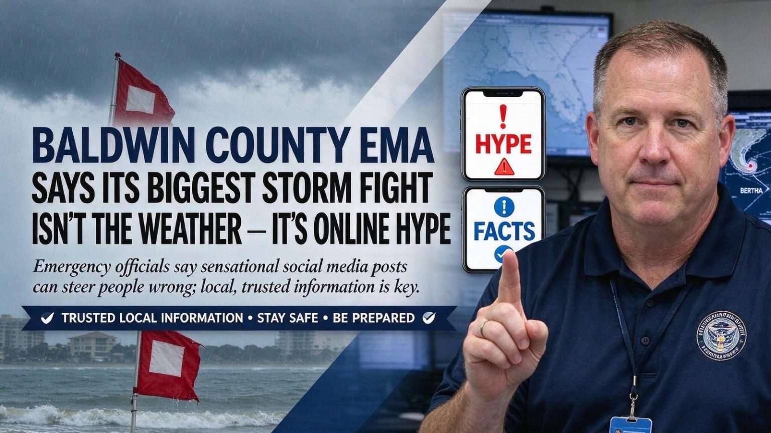
As Tropical Storm Bertha edged toward the Alabama coast, Baldwin County emergency officials found themselves fighting more than just the weather. Alongside tracking storm surge, rip currents and flooding risk, they spent time trying to steer the public away from exaggerated storm claims spreading online. Baldwin County Emergency Management Agency Director Tom Tyler said sensational or misleading storm content tends to surface every time a system enters the Gulf, driven by accounts chasing attention rather than accuracy.
“Sensationalism draws attention, and in this day and age, people are addicted to attention-seeking, so that’s always going to be something that’s with us,” Tyler said. He described it as a persistent challenge across emergency management, one that requires constant pushback with accurate, calm information. In his telling, the problem is not occasional but structural: every named storm brings a fresh wave of dramatic graphics, invented tracks and worst-case scenarios, and the accounts that post them are rewarded with shares and views whether or not the forecasts hold up.
Tyler urged residents and visitors not to base their storm decisions on posts designed to chase clicks or drive engagement rather than inform. “Don’t follow internet hype where people are chasing clicks or trying to monetize scaring the devil out of people,” he said. Instead, he encouraged people to understand their specific situation and real risks, then plan accordingly rather than react to alarmist claims.
The distinction matters because storm decisions are built on small details — whether a home sits in a surge zone, whether a road out of a neighborhood floods first, whether a family has a week of water on the shelf — and viral posts almost never carry that local context. Emergency managers across the Gulf Coast have warned for years that a resident who waits on a worst-case graphic from an out-of-state account may act later, or differently, than one following official advisories.
What the Forecast Actually Said
The actual forecast for Bertha, according to information EMA received from the National Weather Service, called for a comparatively low-grade storm, with winds not expected to exceed 58 mph. Even so, officials continued closely monitoring storm surge, rip current danger and flooding potential, since Bertha’s slow movement carried the risk of dumping heavy rain in short bursts. Rainfall totals were forecast to reach as much as eight inches in isolated areas, and Tyler noted that stalled outer bands could raise localized flooding risk in low-lying spots even without a major storm arriving.
That gap between the label — a modest tropical storm — and the practical danger is a familiar one along the northern Gulf Coast. Water, not wind, has historically been the region’s deadliest hazard, and a system that crawls ashore can drop several months’ worth of rain on communities that drain slowly after even routine summer downpours. Baldwin County’s mix of bays, rivers and low-lying subdivisions makes those distinctions more than academic.
The mechanics of the hype economy are straightforward. A dramatic storm graphic costs little to produce, faces no editorial review and travels faster than any correction, and the platforms that carry it reward reach rather than accuracy. By the time the official forecast shows a weaker system or a shifted track, the alarming version may already have been seen by hundreds of thousands of people, and the correction rarely travels half as far. Emergency managers say the result is a persistent fog around every storm, one that has to be cleared before practical work — preparations, decisions, evacuation timing — can even begin.
A Longer Season of Coordination
With South Alabama having gone several years with relatively little tropical activity, Tyler said the current stretch of storms has meant a heightened level of coordination between county emergency management, municipal partners and the National Hurricane Center as advisories are issued. “Obviously we get heightened awareness at this point in time where we’re looking at forecasts and the National Hurricane Center puts out routine advisories,” he said.
That coordination runs through a network built over decades. The Baldwin County EMA operates out of Robertsdale and links the county’s municipalities — from Gulf Shores and Orange Beach on the coast to Fairhope, Daphne, Foley and Bay Minette farther north — with the National Weather Service office serving the region and with state emergency officials in Montgomery. During an active stretch, forecast updates are reviewed around the clock, decisions about beach flags, road closures and shelters are coordinated among jurisdictions, and information is pushed to the public through official channels on a set rhythm rather than in response to whatever spreads online.
The National Hurricane Center, based in Miami, issues the routine advisories Tyler referenced — full packages of track forecasts, wind probabilities and surge outlooks on a fixed schedule — and those products form the backbone of what local agencies pass along. Local emergency managers add what the national products cannot: which streets flood in Spanish Fort, which sections of the Foley beach corridor are prone to ponding, which low-lying pockets along Weeks Bay and Fish River need attention first when rain bands stall.
Tyler asked residents to help spread the message that reliable information, not viral posts, should guide storm decisions. “We ask everybody around here is to help us amplify that message,” he said. “You need to have multiple ways to receive information. You can get that from the National Weather Service, from the Baldwin County EMA, local news outlets. Get your weather information from trusted local sources. Don’t refer back to your favorite weather app from Omaha, Nebraska, or from where you’re from.”
The line about weather apps drew on a familiar frustration for Gulf Coast officials. National apps and aggregating websites often default to a generic forecast for a coordinate point, smoothing over the coastal nuances — how far inland surge pushes, where rip current risk peaks, which side of a landfalling system gets the heaviest rain bands — that decide what actually happens in a Baldwin County neighborhood.
Advice for Residents and Visitors Alike
That guidance, he said, applies just as much to vacationers unfamiliar with the area as it does to longtime residents, since visitors often lack the local context to judge which warnings matter most. Baldwin County’s beach communities draw enormous seasonal crowds, and many of those visitors arrive from inland states where a tropical system is an abstraction rather than a lived experience. A family staying a week in Gulf Shores or Orange Beach may see a dramatic post online before it ever sees an official advisory, and it may not know that the red flag flying at the beach means the water — not the sky — is the immediate danger.
Local officials have long paired their storm messaging with reminders about rip currents, which claim more lives on the Gulf Coast in a typical year than hurricanes themselves. When a tropical system is anywhere in the Gulf, even hundreds of miles away, swells can make the surf dangerous days before any wind is felt on shore. That disconnect — calm, sunny beach conditions paired with deadly water — is exactly the kind of situation where viral hype and genuine risk point in opposite directions.
As tropical activity continues through the season, Tyler urged the public to keep a plan in place and stay familiar with evacuation routes well before a storm forces the issue. The practical checklist he pointed toward is the standard one for coastal Alabama: know whether your address is in an evacuation zone, keep vehicles fueled and phones charged when a system is in the Gulf, maintain a supply kit that does not depend on a store run in the final hours, and have a way to receive official warnings that does not rely on a single app or feed.
For a county that has watched its population grow rapidly in recent decades, the standing concern is turnover — thousands of new residents who have never been through a significant hurricane, and visitors who pass through by the tens of thousands each summer. Preparing that rotating audience, Tyler’s message made clear, is a year-round job that begins with something as simple as knowing whose forecast to trust when the next system enters the Gulf and the posts start flying.
The stakes of that preparation are written into the county’s own history. Coastal Alabama has absorbed major hurricanes before, and the recovery periods that followed reshaped building codes, insurance markets and evacuation planning across the region. Each quiet stretch of seasons, officials note, brings new construction and new residents closer to the water, which means the population exposed to the next significant storm is larger and less experienced than the one that faced the last. Keeping that growing audience oriented toward official information is, in Tyler’s framing, the first line of defense — long before sandbags are filled or shelters are opened.