Alabama Gulf Coast to See $63 Million in New Restoration Projects
Six new coastal restoration projects worth $63 million, funded through fines paid by BP and Transocean, will fund land conservation and habitat work from Dauphin Island and Bayou La Batre to Gulf Shores and Bon Secour.
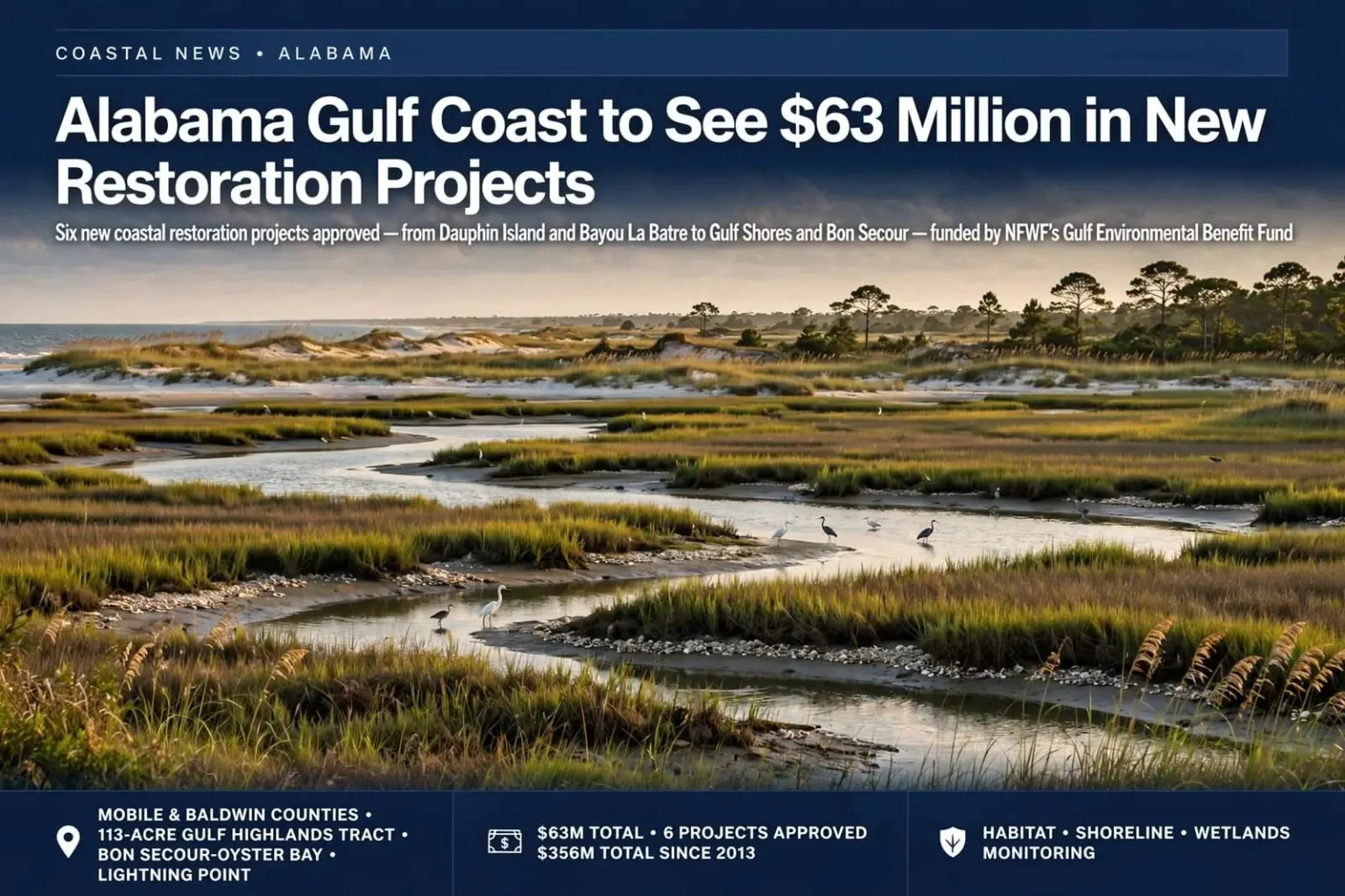
Six coastal restoration projects worth a combined $63 million have been approved for Alabama’s Gulf Coast, bringing new money to habitat and shoreline work stretching from Dauphin Island and Bayou La Batre in Mobile County to Gulf Shores and Bon Secour in Baldwin County.
The funding comes from the National Fish and Wildlife Foundation, which oversees the Gulf Environmental Benefit Fund on behalf of the state. That fund was created to direct criminal fines paid by BP and Transocean following their guilty pleas in connection with the 2010 Deepwater Horizon disaster, a case resolved in U.S. District Court in 2013. It is separate from the RESTORE Act and from Alabama’s own civil settlements with the two companies, which are administered through different channels.
The distinction matters for anyone tracking the money. Alabama’s coastal recovery dollars flow through several parallel pipelines — RESTORE Act funding governed by the Treasury Department, civil settlement money administered under state control, and the NFWF criminal-fine fund — each with its own council, timelines and eligible uses. The $63 million announced in this round comes entirely from the criminal-fine pipeline, which is why the projects can move from approval to acquisition and engineering faster than programs that require multiple layers of state and federal sign-off.
A Growing Ledger
With this latest round, Alabama has now received a total of $356 million through the National Fish and Wildlife Foundation’s Gulf Environmental Benefit Fund since the settlement was finalized. Of that total, roughly $115 million has now been committed across 19 coastal restoration projects statewide, touching barrier islands, river systems, wetlands and undeveloped beachfront up and down the coast.
The newly approved projects reflect a mix of land conservation, engineering work and long-term environmental monitoring.
The commitment pattern shows a deliberate strategy rather than a scatter of grants. Early rounds of the fund leaned heavily on land acquisition — buying ecologically significant parcels before they could be developed — while later rounds increasingly fund engineering and construction aimed at reversing decades of shoreline erosion. The monitoring money woven through the package reflects another lesson from the spill era: restoration projects without decades of data behind them are difficult to defend, difficult to improve and difficult to replicate.
The Gulf Highlands Tract
The single largest award, at $36 million, will fund the acquisition and management of 113 acres known as the Gulf Highlands tract, described as the largest privately held stretch of undeveloped beachfront remaining anywhere on the Alabama coast. Preserving the land is intended to protect it permanently from development and maintain it as habitat for shorebirds and other wildlife.
The price reflects how scarce the asset is. Baldwin County’s beachfront has been subdivided, seawalled and built out nearly end to end from Fort Morgan to the Florida line, and parcels that remain in natural condition are valued accordingly. A 113-acre undeveloped stretch is effectively the last of its kind on the private market, and conservation buyers have watched it for years knowing that a residential or condominium development there would be irreversible.
For shorebirds — including the beach-nesting species whose Gulf Coast populations have contracted for decades — the tract’s protection matters beyond its acreage. Undisturbed beachfront provides nesting habitat that cannot simply be relocated, and conservation biologists have long identified Alabama’s undeveloped coastal parcels as priority habitat in the northern Gulf.
Wetlands Near Gulf Shores
In Baldwin County, $12.5 million has been set aside to acquire wetlands in the Bon Secour-Oyster Bay area near Gulf Shores, protecting about 935 acres of varied coastal habitat that supports fish nurseries, migratory birds and storm buffering for nearby communities. Officials say wetland systems like this one play an outsized role in filtering runoff and absorbing storm surge before it reaches populated areas.
The Bon Secour-Oyster Bay complex sits behind the developed beachfront, in the lattice of tidal creeks, marsh and open water that connects the Gulf to the Bon Secour River system. Its value operates in three directions at once: the marsh serves as a nursery for the shrimp, mullet and gamefish that sustain coastal fisheries; the wetlands filter the nutrient-laden runoff that drains from the Gulf Shores area before it reaches open water; and the intact marsh edge absorbs wave energy that would otherwise push directly against homes and infrastructure during hurricanes.
Conservation groups have ranked the Bon Secour watershed among Alabama’s most important coastal holdings for decades — the Bon Secour National Wildlife Refuge protects a portion of it, and acquisitions like this one knit protected parcels into a larger, contiguous landscape that functions as a unit.
Dauphin Island’s Dunes
On Dauphin Island, $3.5 million will go toward acquiring roughly eight acres of the island’s remaining undeveloped beachfront, along with construction of protective fencing and a dune walkover designed to keep foot traffic from damaging fragile dune vegetation.
Coastal scientists have long pointed to intact dune systems as a first line of defense against erosion and storm damage on barrier islands.
Dauphin Island’s history makes the investment easy to explain. The barrier island has been struck, overwashed and repeatedly rebuilt by Gulf hurricanes, and each storm demonstrates the same principle: neighborhoods protected by healthy dunes and marsh fare measurably better than those built to the water’s edge. Dune vegetation — sea oats, bitter panicum, railroad vine — is the anchor of that system, and it dies from the foot traffic that beachgoers naturally generate. Fencing channels visitors to walkovers, and the walkovers themselves keep the sand-trapping plants alive to do their work.
The eight-acre acquisition also prevents new construction on a shoreline that the state and town have spent years trying to keep natural, adding another parcel to the protected reach that runs through the island’s western end.
Lightning Point and the Bayou La Batre Shoreline
Near Bayou La Batre, $6 million has been approved for the acquisition and restoration of more than 100 acres at Lightning Point, located at the mouth of the Bayou La Batre River. The project is meant to stabilize a stretch of eroding shoreline that has historically flooded during storms, while also restoring marsh habitat important to the area’s commercial and recreational fishing industries.
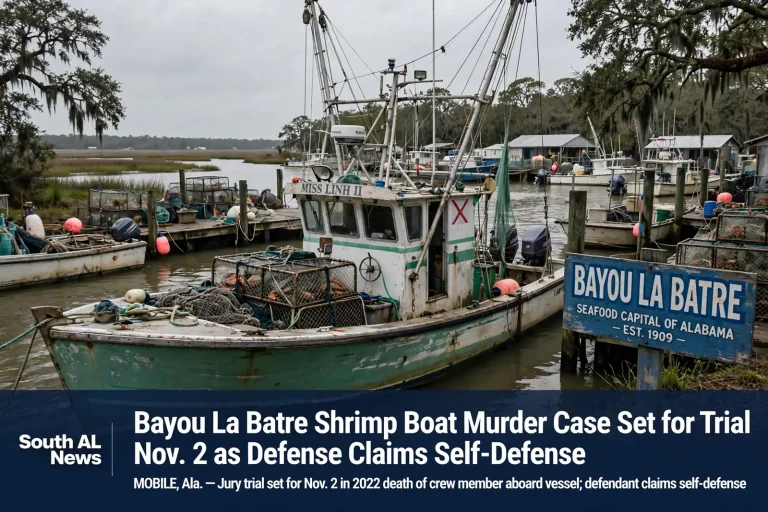
Bayou La Batre bills itself as the seafood capital of Alabama, and its working waterfront — shrimp boats, oyster boats and processing houses packed along a narrow river — depends on the marshes that fringe the bay. Those marshes have been disappearing for decades, chewed away by boat wakes, subsidence and storms, and every acre lost removes nursery habitat for the fisheries the town’s economy rests on.
The Lightning Point project is among the most closely watched of Alabama’s restoration efforts because it combines so many goals in one site: living shoreline construction to break wave energy, marsh planting to rebuild habitat, and protection for the community behind it that has flooded repeatedly in storms. Restoration designs there use natural materials — oyster shell, planted grasses, engineered breaks — rather than bulkheads, reflecting the approach now standard in Gulf restoration work.
For the town’s fishermen, the project’s promise is generational: marsh rebuilt today feeds the crab, shrimp and finfish harvests of the next decade, and a stabilized shoreline reduces the flood damage that has repeatedly set the community back.
Fowl River and the Long Game
A related $1 million award will fund the first phase of engineering and design work for the Fowl River Watershed restoration project, focused on stabilizing coastal spits and marshland in the lower Fowl River. That phase is expected to lay the groundwork for a larger construction effort in future funding rounds.
The Fowl River system, on Mobile Bay’s western shore between the Causeway and the bay, has watched its marsh edges retreat as boat traffic and storms erode the spits that shelter the river’s lower reaches. Engineering-led projects of this kind move slowly by design — a year of data collection, modeling and design precedes any shovel — and the $1 million design phase is the standard admission ticket to the larger construction awards that follow in subsequent NFWF cycles.
Counting the Fish
The final $4.4 million in the package will continue a multiyear program of fisheries and ecosystem monitoring in Alabama’s coastal waters and the broader Gulf of Mexico, funding the third and fourth years of data collection meant to track the long-term health of fish populations and the habitats they depend on.
Monitoring is the least visible and most quietly consequential line in the restoration ledger. Every habitat project in the portfolio will eventually be judged by data: whether fish populations respond, whether marsh elevation keeps pace with sea-level rise, whether water quality improves. Continuing the same survey methods across multiple years is what makes those judgments possible, and the Gulf’s marine fisheries management — from red snapper quotas to oyster closures — draws directly on datasets like the ones this funding sustains.
A Sustained Effort
State officials say the string of NFWF-funded projects reflects a broader, sustained effort to rebuild and protect natural resources along the coast in the years following the Deepwater Horizon spill, with additional rounds of funding expected as more restoration and conservation proposals move through review.
For Alabama, the Gulf Environmental Benefit Fund has become the state’s most reliable source of large-scale coastal conservation money — predictable enough to plan decade-long projects around, and large enough to attempt acquisitions like the Gulf Highlands tract that no state program could fund alone. The $63 million in this round continues the pattern: buy what remains, rebuild what has eroded, and measure everything along the way.