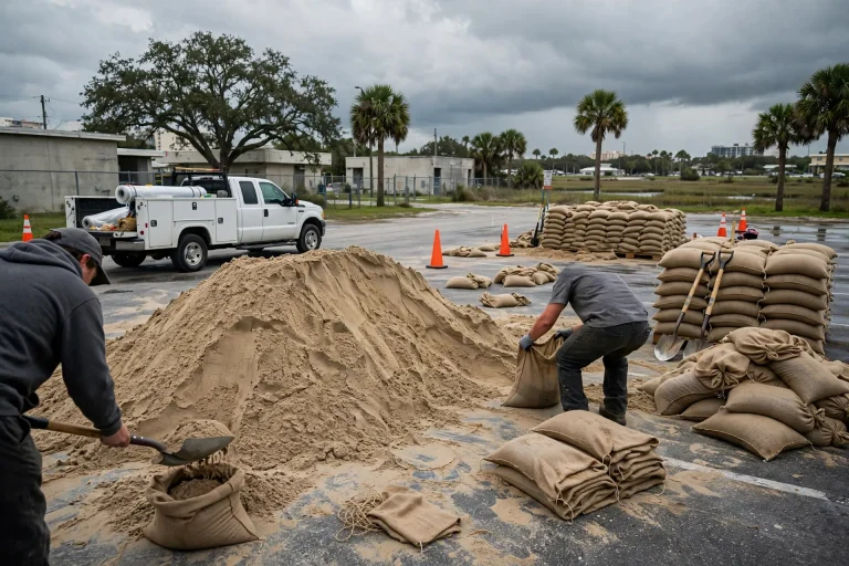
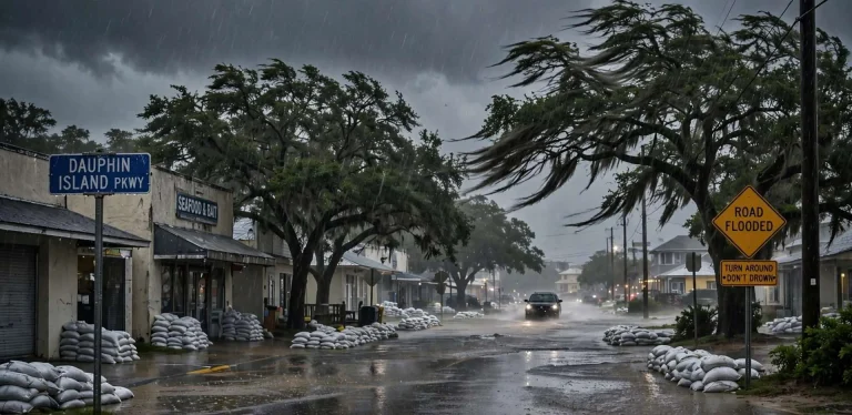
Dauphin Island Launches Free App, Urges Residents and Visitors to Stay Weather-Aware as Season Opens
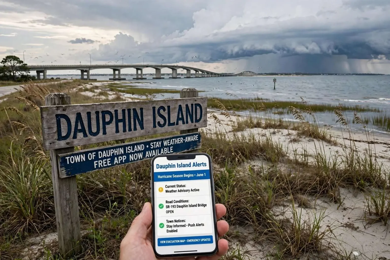
As hurricane season opened in 2021, Dauphin Island launched a free app to keep residents and visitors informed on conditions and island news.
June 1 marked the official start of the Atlantic hurricane season, and along the Alabama Gulf Coast, communities are bracing for what may come after the punishing 2020 season.
Dauphin Island Mayor Jeff Collier said the prior year was especially rough, with the west end beach taking damage from multiple hurricanes. After working on repairs through most of the off-season, life on the island had largely returned to normal, he said.
Collier noted that barrier-island residents know what to expect during hurricane season, but he wants everyone — visitors included — to stay informed about the weather at all times. To help with that, the Town of Dauphin Island recently rolled out a free mobile app designed to keep people up to date on current conditions and any news from the island, a useful tool for tracking official information when a storm threatens.
The app’s launch reflects a broader reality of life on a barrier island: in a community that can be cut off from the mainland by a single storm, official information is not a convenience but a lifeline.
A Barrier Island’s Season
Dauphin Island occupies a distinctive place on the Alabama Gulf Coast. The island sits at the mouth of Mobile Bay, connected to the mainland by a single three-mile bridge and reachable by ferry from Fort Morgan in calmer months. That geography defines everything about how the island prepares for hurricane season — including how quickly it can be evacuated and how long it can take to resume normal life afterward.
Barrier islands are, by design, the first line of impact for storms approaching from the Gulf. Sand dunes, maritime forests and beach ridges absorb the Gulf’s energy before it reaches the mainland shore — but that protective role comes at a cost to the island itself. The west end of Dauphin Island, a low-lying spit that extends west toward the Little Sand Island and the Pelican Passage, bears the brunt of storm surge and wave action in nearly every significant hurricane.
The 2020 season was a reminder of that vulnerability. Storm after storm — including Hurricane Sally, which made landfall near Gulf Shores in September as a strong Category 2 — chewed at the island’s beaches and infrastructure. Mayor Jeff Collier said the west end beach took damage from multiple hurricanes over the course of the season, and the town spent most of the off-season working on repairs.
After the 2020 Season
The 2020 Atlantic hurricane season was among the most active on record, producing so many named storms that forecasters exhausted the official name list and turned to the Greek alphabet for the first time since 2005. For coastal Alabama, the season’s signature storm was Sally, which pushed a surge of water into coastal communities, knocked out power to hundreds of thousands of customers across the region and left a cleanup that stretched on for months.
On Dauphin Island, the effects were concentrated where the island is most vulnerable. The west end — the same stretch of beach that draws visitors to its quiet, natural shoreline — saw roads and dunes damaged by repeated storm impacts. Town crews and contractors spent the fall and winter rebuilding, and by the start of the following summer, Mayor Collier said, life on the island had largely returned to normal.
Normal, on a barrier island, is a relative term. Residents know that each June opens a new season of uncertainty, and that the island’s recovery from one storm is always undertaken with the next storm in mind. Collier’s message as the new season began was rooted in that experience: enjoy the island, but respect what it is.
Why the App Matters
The Town of Dauphin Island’s free mobile app is designed to keep residents and visitors current on conditions and news from the island. In ordinary weeks, that means town announcements, road information and community notices. But the app’s most important role, town officials say, comes when a storm is bearing down on the Gulf Coast.
During a hurricane threat, information becomes a resource that can be difficult to find precisely when it matters most. Power and internet outages disrupt the channels people normally use, and rumors travel faster than official updates. A town-run app gives the town a direct channel to the people who need its information most — including out-of-town visitors who may be unfamiliar with the island’s evacuation patterns and its single road off the island.
That last point is central to Collier’s message. Barrier-island residents have usually lived through enough storms to know what a hurricane watch means and when to act, but visitors — many of whom rent beach houses for a week and may have never experienced a Gulf storm — often lack that institutional knowledge. An app that pushes official information to a visitor’s phone, wherever they happen to be, helps close that gap.
Getting Out: Evacuation Realities on the Island
The Dauphin Island Bridge, carrying State Route 193 across the Gulf Intracoastal Waterway, is the island’s only fixed link to the mainland. When a storm threatens, that bridge becomes the evacuation route for the island’s entire population — roughly 1,300 full-time residents in a typical year, plus the thousands of visitors who swell the population during summer months.
Mobility County and town officials urge residents and visitors to leave early when a storm threatens, precisely because a single evacuation route constrains how quickly everyone can clear the island. The town’s storm preparations include tiers of voluntary and mandatory evacuation decisions, and visitors are often asked to depart well before conditions deteriorate — an instruction that is far easier to follow when people are tracking official updates as they come.
The island’s history reinforces the urgency. Hurricanes from Frederic in 1979 through Katrina in 2005 and through the 2020 season have repeatedly flooded low-lying streets, destroyed west end structures and cut the island in two during major events. Residents rebuild, but each storm has reinforced the same lesson: on Dauphin Island, the window to act safely is measured in hours, not days.
Staying Weather-Aware All Season
Forecasters and emergency managers across the Gulf Coast preach the same habits every June: know whether you live or stay in an evacuation zone, keep a kit with several days of supplies, have a plan for pets and family members with special needs, and keep multiple ways to receive warnings.
For Dauphin Island, the app adds a local layer to the national picture. Along with forecasts from the National Hurricane Center and warnings from the National Weather Service office covering Mobile and Baldwin counties, the town’s own announcements — road closures, re-entry procedures after a storm, damage assessments — are the information residents need most in the days after landfall, when reliable local information is scarce.
Collier’s message as the season opened was that staying weather-aware is a shared obligation. The island’s full-time residents have earned their storm wisdom through experience, but the town’s visitor population renews itself every summer, and each new group arrives without the memories of the last hurricane. The free app, town officials hope, will make that education automatic — one more tool that keeps people safe while they enjoy one of the Gulf Coast’s most distinctive places.
The Estuarium, the Audubon Sanctuary and the Island’s Economy
Dauphin Island’s economy depends on visitors as much as any Gulf Coast beach town, but the island’s attractions are of a different character than the high-rise resort strips further east. The Dauphin Island Sea Lab, the state’s marine science and education campus, operates the Estuarium aquarium and draws school groups and researchers year-round. The Audubon Bird Sanctuary — 164 acres of maritime forest, dunes and marsh at the island’s eastern end — is a nationally significant stopover for migrating birds and butterflies, drawing birders from across the country during spring and fall migrations.
Those attractions, along with the island’s public beaches, fishing pier, historic Fort Gaines and the ferry link across the bay mouth, mean the island’s summer population regularly dwarfs its permanent one. Every one of those visitors becomes the town’s responsibility when weather turns — a fact that shapes the town’s emphasis on communication.
The town government operates on a scale that makes direct communication feasible in a way it is not in larger cities. A single app announcement from town hall reaches a meaningful share of everyone on the island, an advantage larger municipalities cannot replicate. Town officials have leaned into that closeness, using the app, social media and traditional alert channels in parallel to make sure no one on the island misses critical information.
How the Island Rebuilds
The repairs that followed the 2020 season were the latest chapter in a decades-long effort to hold the island together. Federal disaster assistance, state funding and town resources have all gone into restoring the west end after successive storms — beach nourishment projects, road reconstruction and the slow work of restoring dunes that buffer the island’s interior.
The west end’s importance to the whole island is hard to overstate. Its beaches and dunes absorb wave energy that would otherwise strike homes further east, and its preservation has been the subject of years of engineering studies, sand searches and cost-benefit analyses conducted with state and federal partners. Each hurricane season tests the repairs made after the last one.
Mayor Collier’s assessment that life had largely returned to normal was earned through that unglamorous work — debris removal, sand management, infrastructure repair — carried out between one season’s end and the next season’s start. It is a cycle island residents know well, and one that the town approaches with the same preparation it has relied on for decades.
A Season Ahead
As the new hurricane season opened, forecasters reminded Gulf Coast residents that it takes only one storm to make a season devastating, regardless of how many storms form in the Atlantic basin. Coastal Alabama’s history — Frederic, Ivan, Katrina, Isaac, Sally — shows that the storms which matter most are the ones that find you.
For Dauphin Island, the season ahead carried the usual mix of preparation and optimism. Beaches repaired, businesses open and the town’s calendar full, the island greeted the summer as it does every year: ready to welcome the world to its shores, and ready to send word the moment the weather turns.
The free town app is available for download on standard mobile devices, and town officials encourage everyone planning an island visit to install it before arriving. In a place where a single bridge is the way home, the phone in your pocket may be the most important piece of storm equipment you carry.
Residents and visitors alike can also follow the town’s official channels throughout the season for updates on beach conditions, town projects and emergency information — all of which feed the same goal Collier described: an island that enjoys its summer, respects its weather and keeps everyone informed either way.