Heavy Rain Lingers Into Monday as Forecasters Watch for Possible Gulf Tropical Development Late This Week
A Flood Watch was extended through noon Monday as rain lingers on the coast. A drier midweek follows, while the National Hurricane Center gives a southwestern Gulf low a 40% chance of development.
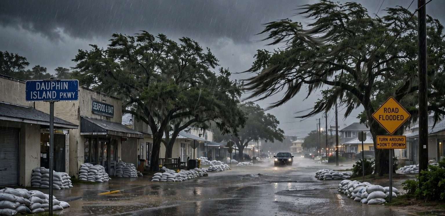
MOBILE, Ala. — Rain was expected to linger along the Gulf Coast into Monday, Oct. 5. A Flood Watch was extended through noon Monday, and forecasters expect drier weather in the middle of the week. After that, the focus turns to possible Gulf tropical development in the southwestern Gulf, where an area of low pressure is expected to form later this week.
As of Sunday night, the National Hurricane Center gave the area a 40% chance of becoming a tropical system over the next seven days. Forecasters stressed that no organized system exists yet and that it is far too early to say where it might go or how strong it could get.
Flood Watch Extended Through Noon Monday
On Sunday night, bands of moderate to heavy rain were still moving across the region, mostly near the coast and in northwest Florida. Rain was expected to continue into early Monday, and the Flood Watch was extended through noon because of lingering tropical moisture.
Not every neighborhood gets heavy rain at the same time. But the air is still very moist, so any band of rain that stalls over one spot can drop a lot of water quickly. After a weekend of heavy rain, the ground is soaked and drainage systems are already full, so it takes less rain to cause flooding.
Flash flooding is still possible, especially in urban, low-lying and poorly drained areas. A Flood Watch means conditions could lead to flooding. If a Flash Flood Warning is issued for your area, flooding is happening or about to happen, and you should act right away.
Waterspouts Still Possible Near the Coast
Some storms produced waterspouts over the weekend, and forecasters said a brief waterspout or weak tornado near the coast could not be completely ruled out. Heavy rain and flooding were still the main concerns overnight into Monday.
Monday: Showers Linger, Then Gradual Improvement
Scattered showers and a few thunderstorms may hang on into Monday, mostly near the coast and in northwest Florida. Rain should taper off as the day goes on, but skies will stay mostly cloudy to overcast for much of the region.
Highs should be mostly in the low 80s, with a north to northeast breeze picking up. By Monday night, far fewer communities should be seeing rain.
Tuesday Through Thursday: A Welcome Break
The middle of the week should bring a break from the widespread rain. Tuesday through Thursday look mainly dry, with a mix of clouds and sun and afternoon highs mostly in the low to mid 80s.
Drier air may move in around Thursday, which would make nights a little cooler and the air feel more comfortable. The break may not last long, though, because forecasters expect to be watching the Gulf closely again by Friday.
Rip Currents Likely to Return Later in the Week
Northeast and east winds will pick up during the week, especially along the beaches and offshore. Those winds will make the surf rougher, and dangerous rip currents are likely later in the week.
Rip currents are strong, narrow channels of water that flow away from the shore, and they can pull even strong swimmers out past the breaking waves. Anyone headed to the beach in Gulf Shores, Orange Beach, Dauphin Island or along the Florida Panhandle should keep a few things in mind:
- Check the beach warning flags before going in the water. Red means high hazard, and double red means the water is closed to the public.
- Swim near a lifeguard when you can, and never swim alone.
- If you are caught in a rip current, don’t fight it. Stay calm, float, and swim parallel to the shoreline until you are out of the current, then swim back to shore at an angle.
- If you can’t get out, face the shore and wave and yell for help.
- Don’t swim out to rescue someone yourself. Get a lifeguard or call 911, and throw the person something that floats if you can.
Watching for Possible Gulf Tropical Development
The biggest question in the forecast is what happens in the Gulf later this week and into next weekend.
An area of low pressure is likely to form over the southwestern Gulf around the middle of the week. Conditions are expected to be only marginally favorable for development, but the low could slowly organize as it drifts north. As of Sunday night, the National Hurricane Center gave it a 40% chance of development over the next seven days and said a tropical depression could form late in the week.
The hurricane center’s outlooks give the odds that a tropical depression or stronger system will form within two days and within seven days. The 40% figure is about whether something forms at all. It does not say where it might go or how strong it could get.
No System to Track Yet
There is no organized tropical system right now. Until a defined low forms, forecasters will have limited confidence in where it might go or how strong it might get.
Forecast models increasingly show that whatever develops will eventually move north toward some part of the Gulf Coast. But the range of possible outcomes is still wide.
Wind Shear Could Limit Strengthening
Strong upper-level winds, called wind shear, could make it hard for a system to get well organized, especially as it moves farther north. Wind shear happens when winds change speed or direction with height. It can tilt a developing storm and tear apart the structure it needs to strengthen.
Forecasters said the chance of a hurricane looks low, though not zero. A tropical depression or tropical storm is possible in this kind of environment. A strongly sheared low could also push its heaviest rain and strongest weather far away from its center, so places well away from the center could still get significant weather.
Heavy Rain May Be the Bigger Story
No matter what the low becomes, heavy rain may matter more than wind. Forecasters are increasingly confident that deep tropical moisture could bring another round of heavy rain to some part of the Gulf Coast and Deep South next weekend. They can’t yet say where the heaviest rain will fall.
The Weather Prediction Center’s seven-day rainfall forecast already shows the potential for very heavy rain somewhere along the Gulf Coast, with roughly 7 to 10 inches in some areas. Those numbers are not a precise local forecast this far out, but they show another big rain event is possible if deep tropical moisture moves north.
For coastal Alabama and northwest Florida, the Friday-through-Sunday forecast depends on how the low develops and where it goes. In one scenario, the area gets a very wet and breezy weekend. In another, the heaviest rain lands somewhere else on the Gulf Coast and the local impact is much smaller.
Be Wary of Single Model Runs
That uncertainty is why individual computer model runs showing a specific landfall, rainfall total or intensity shouldn’t be taken literally this far ahead. Such images often spread on social media, but one run is only one possibility out of many.
Forecasters said confidence should improve a lot by the middle of the week, once it’s clear whether a low has actually formed.
What Residents Should Do Now
There’s no reason to panic, but it’s a good week to pay attention. Atlantic hurricane season, which includes the Gulf, runs through Nov. 30, and October storms in the Gulf are not unusual. Some simple steps for the days ahead:
- Keep checking the forecast through the week, especially if you have outdoor plans, travel or events next weekend.
- Get official updates from the National Hurricane Center at hurricanes.gov and the National Weather Service in Mobile at weather.gov/mob.
- Clear storm drains and gutters near your home while the weather is dry, so water can drain if more heavy rain comes.
- Review your basic hurricane supplies, such as flashlights, batteries, water, medications and phone chargers.
- Remember flood safety. Never drive through flooded roads. Turn around, don’t drown.
If you live in a flood-prone area, check whether you have flood insurance. Standard homeowners policies usually don’t cover flood damage, and National Flood Insurance Program policies usually take 30 days to take effect. That means a policy bought after a storm is already on the way generally won’t cover that storm.
Radar Outage Still Limiting Public Coverage
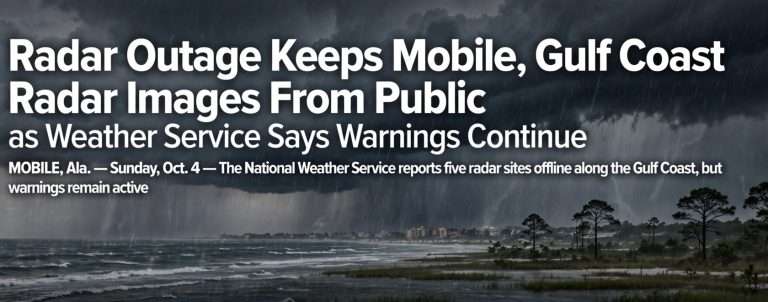
On Sunday night, a regional radar communications outage was still limiting the high-resolution radar data available to the public and the media from several sites in the Southeast. The radars themselves were still working, and weather service meteorologists could see much of the data internally, so they could keep tracking storms and issuing warnings.
Forecasters said there were still many more questions than answers about the Gulf, and they expected the forecast to come into focus over the next several days.