Tropical Depression Two Grew Into Tropical Storm Bertha and Brought Rip Currents, Heavy Surf to the Alabama Coast
<p>Tropical Depression Two strengthened into Tropical Storm Bertha, bringing storm surge, rip currents, rough surf and heavy rain to the Alabama coast and Foley before tracking away toward Louisiana and Texas.</p>
The Gulf Coast's second tropical system of the season developed off the west coast of Florida, prompting tropical storm watches across the Florida Panhandle and days of rough surf, rip currents and heavy rain along the Alabama coast. Forecasters tracked the system, known as Tropical Depression Two, as it slowly organized in the eastern Gulf before strengthening into Tropical Storm Bertha. The depression formed from a well-defined area of low pressure and spent its early days nearly stationary, roughly 290 miles southeast of Mobile and 250 miles south-southeast of Pensacola, with maximum sustained winds near 30 mph. It later began a slow north-northwestward drift, with forecasters expecting the system to eventually turn west while staying close to the northern Gulf Coast for several days.
The National Weather Service in Mobile issued a tropical storm watch for Florida's Escambia, Okaloosa and Santa Rosa coastal areas as the system organized, warning of locally heavy rainfall, tropical-storm-force wind gusts along the immediate coast and the potential for a few isolated waterspouts or brief tornadoes near the shoreline. Air Force Hurricane Hunters flew missions into the system to gather data as forecasters refined the track and intensity forecast. Along the Alabama coast, the most consistent threats were rip currents and rough surf, with forecasters warning of a high risk of dangerous swimming conditions for several days as the storm approached. Rainfall totals of up to eight inches were possible across the eastern and central Gulf Coast, stretching from western Florida into southern Alabama, Mississippi and Louisiana.
The system arrived roughly a month after Tropical Storm Arthur dropped torrential rain and caused flash flooding across north Baldwin County and the Eastern Shore. Forecasters said the system was not expected to become a hurricane or a strong tropical storm, and elevated rain chances were not expected to produce a total washout for the region. By the end of the week, the storm tracked away from coastal Alabama, and rain chances across South Alabama returned to typical summertime patterns.
Update: As Bertha approached, local emergency officials and coastal communities took steps to prepare. Baldwin County Emergency Management Agency Director Tom Tyler warned that swells associated with the storm could be life-threatening. "We've got surf warnings out right now. We've got surge warnings out right now. They're talking eight to 10 foot waves," Tyler said, urging beachgoers not to enter the rough surf even during breaks in the weather. Beachgoers could text ALBEACHES to 888777 to receive daily beach conditions and warning flag status, and the Baldwin County EMA also posted safety tips online. On Dauphin Island, Mayor Jeff Collier said the town leaned on its network of local real estate agencies to alert out-of-state renters staying on the island, along with a Dauphin Island app and other communication channels. Collier urged residents and visitors in low-lying areas, such as west of Sehoy Street, to move vehicles to higher ground and to secure loose items like trash cans and deck furniture that could be picked up by the wind.
"We know that there's probably going to be some double red flag days coming up. We're going to be watching that as well, policing if you will, the beach areas to make sure people stay out of the water," Collier said.
As Bertha closed in, the National Weather Service in Mobile placed a storm surge watch over the entire Alabama coastline, including southern Mobile Bay, warning that two to four feet of inundation above normally dry ground was possible from the Mississippi state line to the Florida state line.
Water levels were forecast to begin rising overnight and to peak in the early morning hours around high tide on both Wednesday and Thursday, raising the possibility of splashover onto the Causeway during Wednesday's morning commute in northern Mobile Bay. Forecasters also flagged the potential for moderate beach erosion, breached dunes, minor damage to marinas, docks, boardwalks and piers, and a few small boats breaking loose from their moorings. Baldwin County made sand available on a self-serve basis at its Central Annex in Robertsdale for residents needing to protect their property. National Hurricane Center advisories tracked the storm's slow crawl closely.
Early Tuesday, Bertha's center sat near latitude 28.8 north and longitude 86.2 west, about 175 miles southeast of Mobile, with sustained winds of 50 mph and forward motion of just 5 mph as Hurricane Hunter aircraft flew through the system to refine the forecast. By late morning, sustained winds had climbed to 60 mph even as the storm's forward speed slowed further, to around 3 mph, with tropical-storm-force winds extending up to 80 miles from the center. Forecasters said only slight additional strengthening was possible before gradual weakening set in by midweek as Bertha tracked toward southeast Louisiana and, eventually, Texas. The storm's formation also raised the chance of an isolated tornado or two well east of Alabama, mainly in the Florida Big Bend region, as outer rainbands moved onshore.
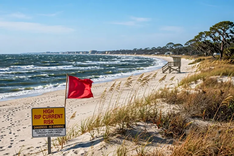
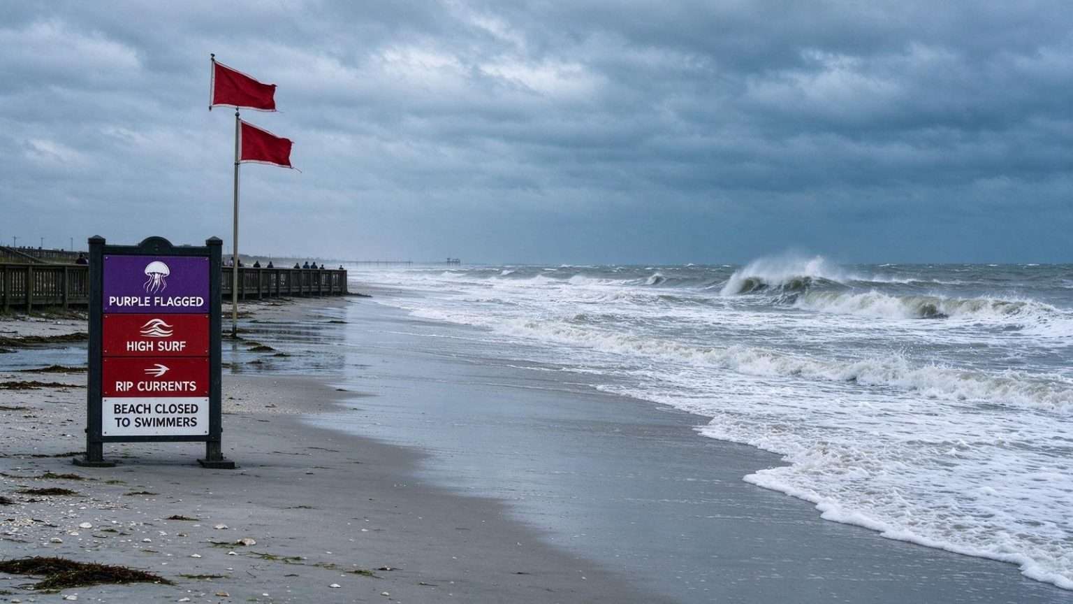
Beach warning flags along the coast shifted as conditions worsened. Purple flags signaled the presence of jellyfish, single red flags warned of high hazard conditions with high surf and strong currents, and double red flags — posted at Orange Beach, Gulf Shores and Dauphin Island as Bertha made its closest approach — meant Gulf waters were closed to swimmers entirely. Foley was placed under its own tropical storm warning, with tropical-storm-force conditions expected to arrive late Tuesday and continue through Wednesday. City officials there forecast two to four inches of rain, with isolated totals up to six inches, alongside a two-to-four-foot storm surge and the same rip current and rough surf hazards being tracked elsewhere on the coast.
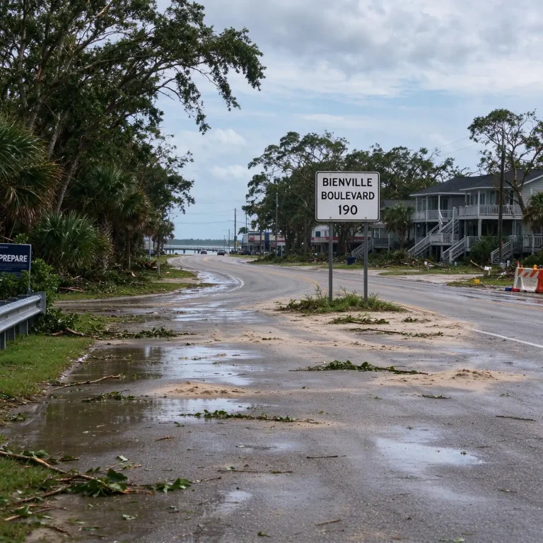
Foley urged residents to secure loose outdoor items, charge phones and other devices ahead of time, and avoid driving through flooded roadways. Forecasters said the heaviest wind and rain would stay offshore as Bertha tracked toward southeast Louisiana, with conditions beginning to weaken Wednesday afternoon and more typical summer weather returning by Thursday, even as rough surf and rip currents lingered into the weekend. Inland communities saw comparatively modest effects — gusty winds near 20 mph and scattered showers, with no washouts expected — while the immediate coast saw surf build to 8 to 11 feet at the height of the storm before easing by Friday.
By early the following week, attention shifted from wind and rain to heat, with highs forecast in the upper 90s and heat index values topping 100 degrees. As Bertha's outer bands moved onshore, the National Weather Service kept a Tropical Storm Warning, a High Surf Warning and a Coastal Flood Advisory in effect for coastal Mobile, Baldwin, Escambia, Santa Rosa and Okaloosa counties, stretching the hazard zone well into the Florida Panhandle. Storm tides ran 1 to 3 feet above normal, with the highest tides expected Wednesday morning, while forecasters said the high surf warning would hold through Thursday morning even after the wind and rain moved offshore.
Double red flags went up at Orange Beach and Gulf Shores as the storm neared, closing the Gulf to swimmers; the city of Orange Beach warned that ignoring the flags could lead to arrest or a fine. Surf there was expected to run choppy with 5- to 6-foot waves building on a strong west-running current, with high tide around 3:18 a.m. and low tide around 3:31 p.m. The stretch of coast from Dauphin Island east to Destin, Florida, remained under a moderate rip current risk through at least Saturday morning. The National Weather Service reminded anyone caught in a rip current to stay calm, since the currents pull swimmers away from shore rather than under the water, and to avoid swimming directly against the pull.
Instead, swimmers should swim parallel to the beach until free of the current before turning back to shore, or float and call for help if they cannot escape. In Gulf Shores, waves were forecast to break as high as 8 to 11 feet at the height of the storm, and beach safety officials said the closures were not optional. "We don't close the waters just for fun or because we want to," said Gulf Shores Beach Safety Chief Joethan Phillips. "It's extremely dangerous to be out there." The rough surf still drew crowds to the sand even as it kept them out of the Gulf.
Visitor Julia Cobb said she was hoping the storm would stay offshore, while 10-year-old Lynlee Wesson said she was itching to get in the water for what she guessed would have been prime boogie-boarding waves. Marie Williams said she supported the double red flags without reservation, noting that the current would pull swimmers back out even in shallow water. For Candy Zollicoffer, visiting from Nebraska, the closed beaches meant an itinerary shift toward shelling and restaurants instead. "Tried to make the most of it," she said.
What the Watches and Warnings Mean
The National Hurricane Center and local National Weather Service offices use watches and warnings on a set timeline. A tropical storm watch means tropical-storm conditions, with sustained winds of 39 to 73 mph, are possible in the area, generally within 48 hours; a tropical storm warning means those conditions are expected, generally within 36 hours. A storm surge watch means life-threatening inundation from rising water moving inland from the coast is possible, generally within 48 hours.