Dauphin Island Officials Warn of Saltwater Flooding and Rip Currents as Gulf System Passes
Dauphin Island officials warned of saltwater flooding on the west end and dangerous rip currents as a Gulf tropical system tracked west in 2019.
Even with the track of a tropical system in the Gulf of Mexico trending west of the Alabama coast, Dauphin Island officials cautioned in July 2019 that the island could still feel significant effects. The system was the one that would go on to become Hurricane Barry, and while its forecast path pointed toward the Louisiana coastline, Mayor Jeff Collier and town officials warned residents not to treat distance from the storm’s center as a measure of safety. On a low-lying barrier island, water can arrive from a storm that never comes close to making landfall nearby.
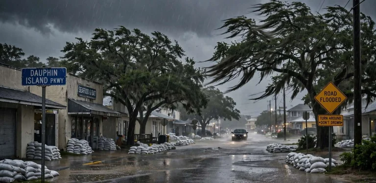
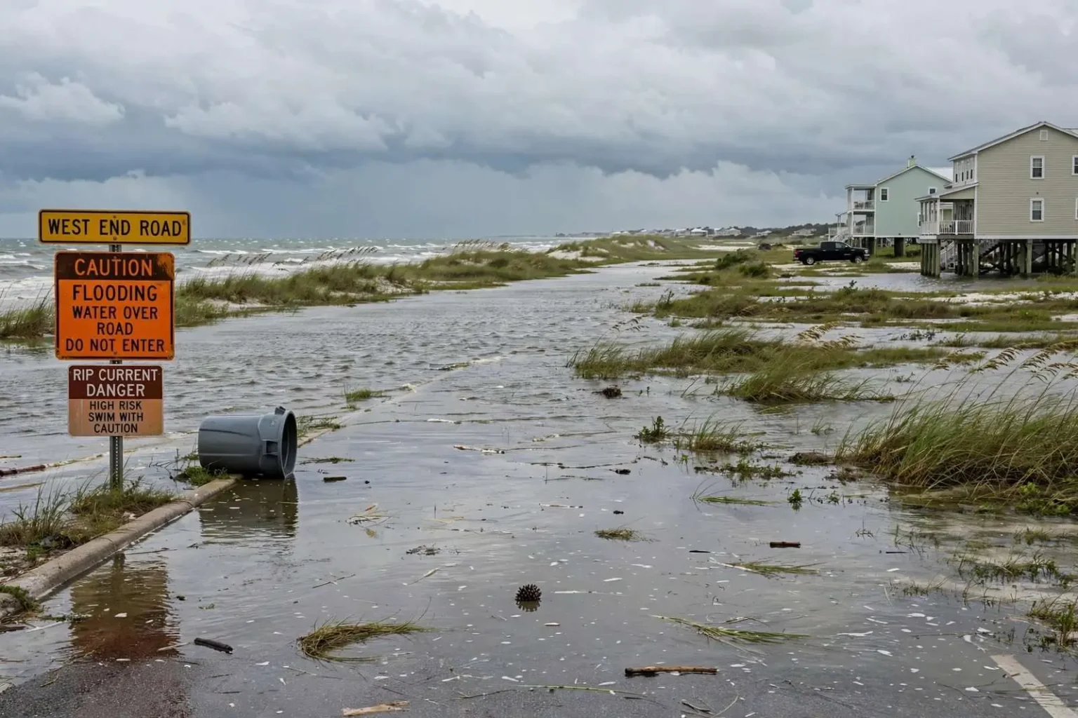
The chief concern, according to Collier, was the potential for saltwater flooding on the west end of the island and other low-lying areas, where modest surge combined with tides can push water across roads and property even when a storm stays far offshore. That warning reflected the island’s hard-earned experience: Dauphin Island’s western arm sits barely above the normal high tide line, and a Gulf running even a foot or two above typical levels can put salt water across the west-end road and into yards and crawl spaces. Collier’s caution was aimed squarely at that gap between the storm’s track and the island’s actual exposure.
The mechanics behind the warning are familiar to coastal residents. A tropical system spinning in the central Gulf sends long-period swells and sustained onshore flow toward the Alabama coast well before its center arrives, and because the shelf water off Dauphin Island is shallow for miles, even a modest push raises water levels along the island’s Gulf side. When that elevated sea coincides with a high tide, water tops the lowest ground — the west end road, low lots near the bay side, and the streets that flood first in every Gulf event. Officials were watching for exactly that combination as Barry organized to the south and west.
The Advice Collier Gave Residents
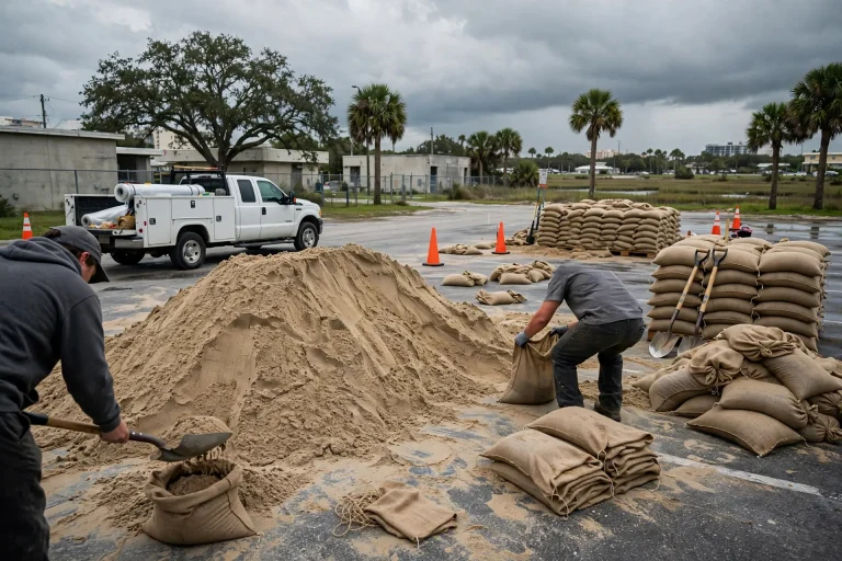
Collier urged residents to take simple protective steps as conditions changed: move vehicles to higher ground, secure trash receptacles and anything else light enough to float away — what he called the normal preparations for this kind of event. The advice was deliberately basic. Moving vehicles off the lowest streets keeps cars out of salt water, which ruins electrical systems and generates insurance claims that follow every flooding episode. Securing trash cans and yard items prevents the floating debris that clogged drains and scattered across properties in past events.
The phrase “normal preparations” carried its own message: this was a routine event by barrier-island standards, not a call for panic or evacuation. Residents who have lived through the island’s flooding history know the drill, and the mayor’s guidance amounted to a reminder rather than a directive — check your low spots, lift what floats, and watch the water as the tides cycle through the elevated levels the offshore system was expected to bring.
Those preparations matter because salt water is uniquely destructive. Unlike rainwater, Gulf water leaves salt in soils, kills lawns and ornamental plants, corrodes vehicle undercarriages and seeps into structures that then dry slowly in the July humidity. West-end residents who have watched flooding episodes come and go tend to respond quickly to warnings like Collier’s precisely because cleanup from even a minor saltwater inundation takes longer than the flooding itself.
Watching the System That Became Hurricane Barry
The Gulf in mid-July gives coastal Alabama little rest. Water temperatures have warmed enough to fuel tropical development, upper-level winds are still settling into their summer patterns, and disturbances can organize quickly close to shore. That is the setting officials on Dauphin Island were working in as the system that would become Barry took shape, and it is why the town’s warnings leaned on preparation rather than prediction: whatever the storm did next, the water was already rising.
The system in the Gulf at the time was the disturbance that would go on to become Hurricane Barry, and its early days kept Gulf Coast emergency managers in a watching posture. In mid-July 2019 the disturbance was drawing moisture northward across the northern Gulf, and forecast models showed a westward track toward Louisiana. For Alabama coastal communities, a westward track is usually the best of the unfavorable scenarios — it puts the storm’s strongest winds and highest surge on the west side of the center, far from Mobile Bay — but it does not eliminate the water problem, because the storm’s wind field reaches far from its center.
Dauphin Island’s officials have long planned around that reality. The island can experience significant saltwater flooding from systems that make landfall in Louisiana, Mississippi or the Florida Panhandle, depending on the size of the storm and the direction of its onshore flow. Barry’s size and slow early movement were the variables officials watched, since a broad, slow system piles water against the coast for days, while a compact, fast-moving one delivers a shorter pulse.
Beachgoers were also warned about a heightened rip current risk along the coast while swells from the offshore system reached area beaches. Rip currents — narrow channels of water pulling away from shore — intensify when long-period swells from a distant storm reach the coastline, and they can endanger swimmers even on days of clear skies and calm-looking surf. The warning covered Dauphin Island’s public beaches and the Gulf-front stretches toward the Fort Morgan peninsula, where swimmers were advised to use caution and remember that rip currents pull swimmers away from shore rather than under it — the escape is to swim parallel to the beach until free of the current’s grip.
The West End’s Long Memory of Flooding
Collier’s warning fit a pattern that stretches back decades. The west end of Dauphin Island has flooded repeatedly during Gulf storms of every size, from distant hurricanes to unnamed systems that simply blew from the south for several days. The island’s history includes storms that cut new channels through the island and others that merely left salt water standing in yards, but the common thread is the west end’s exposure: a narrow, low arm of sand that takes the Gulf’s water first and drains it last. Residents there measure storms by how much water crossed the road and how long it took to leave.
Town government on Dauphin Island has built its storm communications around that experience. Mayors and town officials routinely use the island’s information channels to warn of tide-driven flooding days before a system’s center is anywhere near the coast, because the water does not wait for landfall. The July 2019 advisories followed that playbook — explaining the mechanism, naming the areas most likely to flood, and giving residents a short list of practical steps rather than a general call for alarm.
For residents of the mainland shore communities that face the island across the Mississippi Sound — Coden, Bayou La Batre, and the coastal stretches of south Mobile County — the same elevated water levels threatened low roads and waterfront property. The sound communities sit at similar elevations, and southerly winds push water through the passes and into the sound just as they do onto the island’s Gulf shore. Coastal Alabama’s flooding concerns in any offshore event therefore run from the west end of Dauphin Island clear around the bay’s southern shore.
What Residents Were Watching as Barry Developed
As the disturbance organized in the Gulf, residents tracked three things: the forecast cone, the wind direction, and the tide. The cone determined whether Alabama would face direct effects; the wind direction determined how much water piled against the coast in the meantime; and the tide cycle determined whether the elevated seas arrived at high tide, when flooding risk peaks. A foot of wind-driven rise at low tide passes with little notice, while the same rise at high tide puts water over the west-end road — the difference that officials like Collier ask residents to monitor.
The 2019 event also served as a mid-season reminder of the island’s preparations for the rest of the hurricane season, which runs through the end of November. July sits in the period when Gulf systems most often form close to home, giving coastal residents less lead time than the long-tracked Cabo Verde storms of September. A system like Barry, developing in the bay and central Gulf, is the archetype of the short-notice threat, and the island’s routine warnings — secure what floats, move what matters, watch the water — are written for exactly that scenario.
Barry went on to make landfall in Louisiana, sparing Alabama a direct strike, but the episode on Dauphin Island made the point that officials had emphasized all along: the Gulf does not need to send a hurricane to your doorstep to flood your street. Saltwater flooding from a distant system is the island’s most frequent storm problem, and the July 2019 warnings — move vehicles to higher ground, secure what can float, and stay out of the water — will sound familiar the next time a Gulf system spins up, whatever track it takes.