Gulf Coast Forecast: Blazing Sunshine, Spotty Storms and Rising Rip Current Risk Through the Weekend
The Gulf Coast is settling into its late-summer weather routine, with sizzling heat, high humidity and isolated afternoon thunderstorms expected through the weekend, along with a rising rip current risk at area beaches.
MOBILE, Ala. — The Gulf Coast has settled into its late-summer weather routine: blazing hot sunshine, steamy afternoons and the occasional pop-up thunderstorm fueled by the peak heat of the day. Overnight lows are expected to fall only into the mid-70s, while afternoon highs climb back into the low-to-mid 90s. Heavy humidity will push the heat index into the range of 100 to 107 degrees, forecasters say, meaning it will feel considerably hotter outdoors than the thermometer alone suggests.
This pattern is typical for the Gulf Coast in early August, when warm sea-surface temperatures and high humidity combine most afternoons to fuel scattered convection. Forecasters recommend that anyone with outdoor plans drink plenty of water, wear loose and breathable clothing, and take frequent breaks in shaded or air-conditioned spaces.
Friday: Sizzling Heat With Little Relief
Friday is expected to bring another round of bright, sun-drenched skies interrupted only by a few afternoon downpours. The vast majority of neighborhoods across the area are expected to stay dry, but any storm cell that does develop could pack a punch, with sudden downpours, strong wind gusts and dangerous lightning. Heat index values are expected to push past the triple-digit mark as the day goes on.
Weekend: Summer Heat Rolls On
The weekend outlook calls for more sticky, sun-filled afternoons with highs settling into the 90s and a scattering of storms after lunchtime. Because these pop-up storms are highly localized — a common feature of subtropical summer weather along the coast — one neighborhood could stay completely dry while another just a few miles away gets a quick soaking. Forecasters suggest scheduling outdoor activities for the early morning hours and keeping an eye on the sky later in the day, particularly during the afternoon convective window.
Beach Conditions
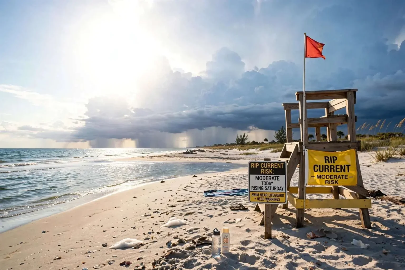
Conditions at area beaches look generally inviting, though hazards remain. The rip current risk is expected to be low on Friday before rising to moderate on Saturday. The UV forecast is expected to be very high on Friday and Saturday before reaching the extreme category on Sunday, underscoring the importance of sunscreen and sun protection for anyone spending extended time outdoors or in the water.
The Tropics: All Is Calm
The Atlantic Basin is in a quiet stretch, with no tropical cyclone formation expected over at least the next seven days. That lull comes even as the region moves toward the traditional peak of Atlantic hurricane season, which historically runs from mid-August through October, a reminder for Gulf Coast residents to keep hurricane preparedness plans up to date even during calm stretches.
Understanding the Heat Index
The heat index combines air temperature and relative humidity to estimate how hot it actually feels to the human body. High humidity slows the evaporation of sweat, which makes it harder for the body to cool itself and raises the risk of heat exhaustion and heat stroke. The Atlantic hurricane season runs from June 1 through Nov. 30, with activity historically peaking around mid-September.