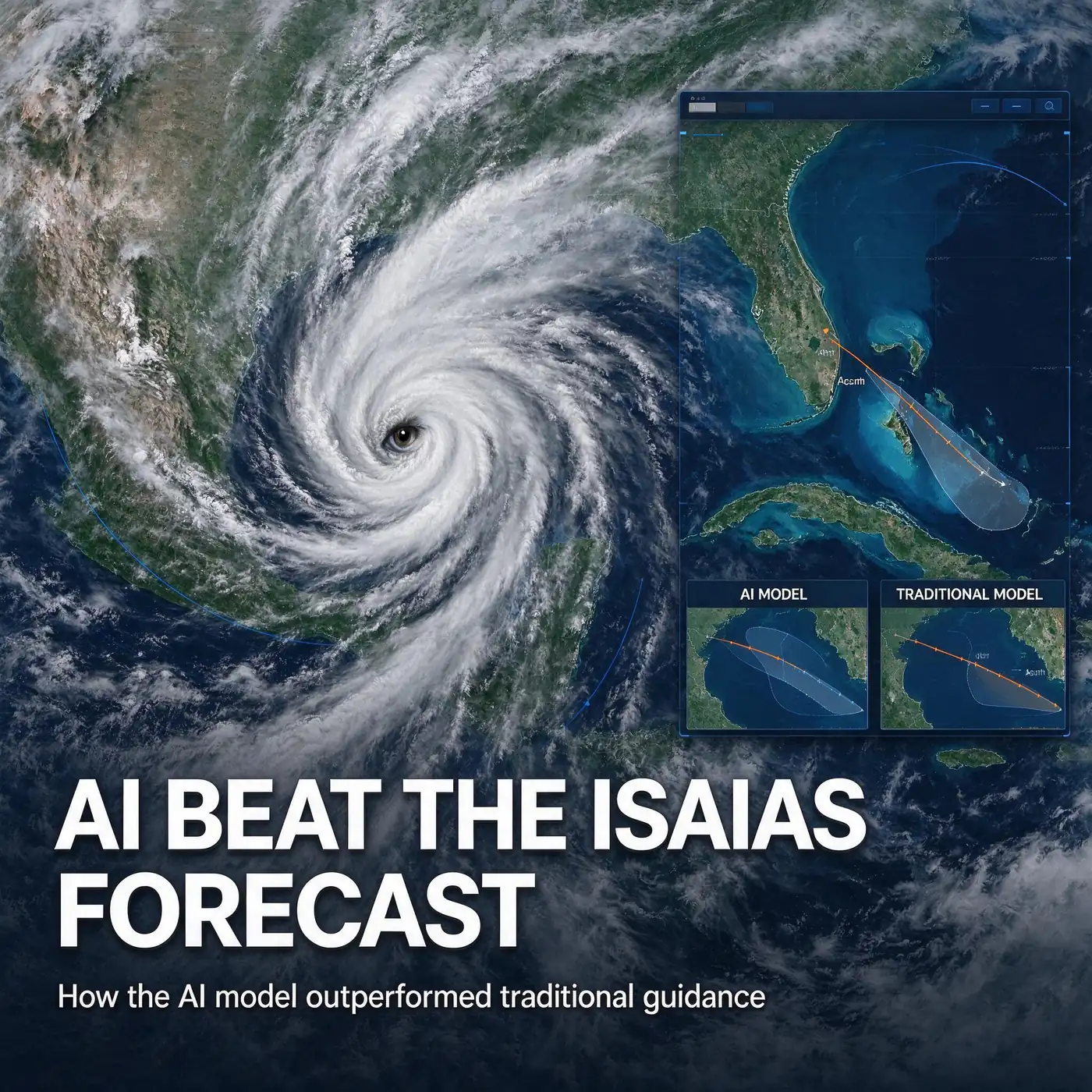
MOBILE, Ala. — When Hurricane Isaias finally came ashore near Destin, Fla., on the night of Friday, Oct. 9, it landed more than 60 miles east of coastal Alabama, roughly where a new generation of artificial intelligence weather models had said it would go days earlier. Now one of the state’s best-known forecasters says the AI hurricane forecast for Isaias beat the traditional computer guidance that had many Mobile and Baldwin County residents bracing for a direct hit.
“Once again, the Google DeepMind FNV3 AI model outperformed the physics-based models,” Alabama meteorologist James Spann wrote in a social media post on Sunday, Oct. 11. “It pretty much nailed the intensity and landfall point several days in advance. It is becoming a very important tool in forecasting tropical cyclones.”
The verdict caps a week in which the forecast for the late-season storm shifted steadily eastward, and in which the gap between two very different kinds of weather models became part of the public conversation along the Gulf Coast.
A track that kept moving east
Early in the week, the guidance put Mobile and Baldwin counties squarely in the storm’s sights. As of Wednesday, Oct. 7, forecast models pointed Isaias toward the Alabama coast, and local governments responded accordingly. Gov. Kay Ivey declared a state of emergency for 40 counties, ordered tourists and other nonresidents off the Baldwin County beaches and Dauphin Island, and schools, festivals and offices across the region shut down. The National Shrimp Festival in Gulf Shores was canceled, and residents emptied store shelves, filled sandbags and boarded windows.
As landfall approached on Friday, Oct. 9, the National Weather Service shifted the expected center of the storm toward the Pensacola area. Isaias came ashore near Destin at about 8:30 p.m. Friday as a Category 2 hurricane with winds of 105 mph, according to the weather service’s Mobile office. Earlier that day it had been a Category 3 storm with winds near 120 mph.
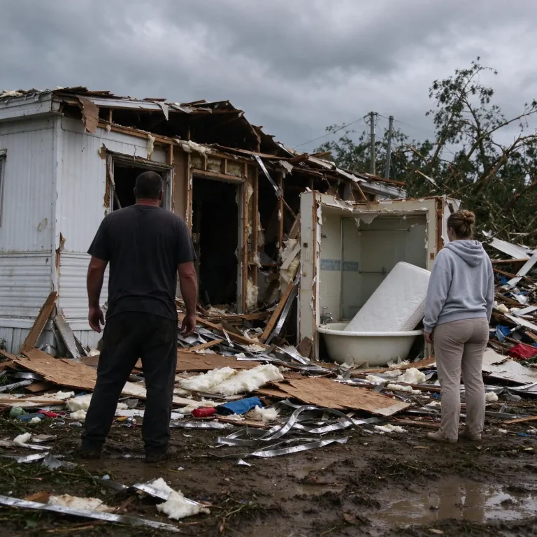
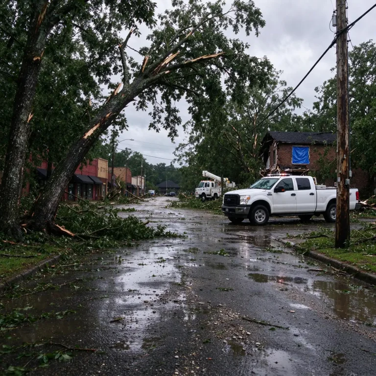
That eastward turn put coastal Alabama on the storm’s western side, well away from the center. The area still took powerful winds that brought down trees and knocked out electricity for hours, but it was spared the surge and wind damage that hit the western Florida Panhandle. Isaias was blamed for four deaths in Alabama and Florida, including two in Alabama, neither of them in Mobile or Baldwin counties.
Spann laid out the two approaches midweek
Spann, the suspender-wearing chief meteorologist whose broadcasts have been a fixture of Alabama severe weather coverage for decades, followed Isaias closely throughout the week on social media. In a post on Wednesday, he walked followers through the difference between the long-established computer models forecasters have relied on for generations and the newer AI systems.
“Traditional, physics-based weather models use mathematical equations representing the atmosphere’s physical processes,” he wrote. “AI weather models learn patterns from decades of historical weather observations and previous forecasts. Instead of calculating every atmospheric process from scratch, they use those learned patterns to predict how the weather is likely to move.”
He noted that Google DeepMind’s model and other AI systems differed from the European model and other traditional forecasts by shifting Isaias east of the Alabama coast. “It will be interesting to see which one turns out to be correct,” he wrote at the time.
Four days later, after the storm had come ashore in Florida and raced north across Alabama, he gave his answer in favor of the AI guidance.
The hurricane center was already leaning on AI
The National Hurricane Center was not ignoring the AI guidance. In its forecast discussion on Thursday, Oct. 8, the center said its official track continued to rely most heavily on the Google DeepMind ensemble mean and the HFIP Corrected Consensus Approach, a blend of models, which it described as its best-performing track guidance this year. The center noted that the AI-based models had generally been faster and farther east than the traditional physics-based models.
That matters because the hurricane center’s official forecast is what drives watches, warnings and, ultimately, decisions by governors, county emergency managers and school superintendents. The hurricane center does not simply adopt any one model. Its forecasters weigh dozens of pieces of guidance, along with satellite, radar, aircraft reconnaissance and buoy data, before issuing an official track and intensity forecast, and they publish a written discussion explaining their reasoning with each advisory.
How the two kinds of models work
Traditional numerical weather prediction models, such as the American Global Forecast System and the European Centre for Medium-Range Weather Forecasts model, divide the atmosphere into a three-dimensional grid and solve the equations of physics that govern how air, heat and moisture move. They begin with a snapshot of current conditions gathered from weather balloons, satellites, aircraft, ships and surface stations, then step forward in time. Running them requires some of the most powerful supercomputers in the world.
AI models take a different route. Rather than calculating the physics directly, they are trained on decades of past weather data, learning how patterns in the atmosphere have tended to evolve. Once trained, they can produce a forecast far faster and with much less computing power than a traditional model. Many still depend on the traditional systems for their starting point, since they typically begin from the same analyses of current conditions that physics-based models use.
Google DeepMind, the artificial intelligence research lab owned by Google, introduced an experimental tropical cyclone model in June 2025 through a website it calls Weather Lab and announced a partnership with the National Hurricane Center to evaluate it. The company said the model can generate dozens of possible scenarios for a storm’s track, intensity and size up to 15 days ahead. Forecasters can then look at the spread of those scenarios, much as they do with ensembles from traditional models, to judge how confident to be in a given outcome.
Why intensity is the harder test
Spann’s praise went beyond the landfall point. He said the AI model “pretty much nailed the intensity” as well. Hurricane intensity has long been one of the hardest things to forecast. Track forecasts have improved dramatically over the past several decades, but predicting how strong a storm will be, and especially when it will rapidly strengthen or weaken, depends on small-scale processes in the storm’s core that are difficult to capture.
Isaias offered a test of both. The storm peaked as a Category 3 hurricane on Friday morning, then weakened slightly before coming ashore as a Category 2. After landfall it weakened quickly as it moved inland, becoming a post-tropical cyclone over Alabama early Saturday.
What it meant on the ground
For people in Mobile and Baldwin counties, the forecast disagreement was not academic. Days of uncertainty about whether Isaias would strike Mobile Bay or turn toward the Florida Panhandle shaped decisions about evacuating, closing businesses and sheltering. Officials ordered visitors off the beaches, Mobile and Prichard set curfews, bridges to Gulf Shores and Orange Beach closed and shelters opened in both counties.
Those decisions were based on the official forecast and the warnings in effect, not on any single model, and emergency managers say that is how it should be. A storm only needs to wobble a few dozen miles to change who gets the worst of the wind and surge, and a hurricane warning means hurricane conditions are expected somewhere within the warned area. Coastal Alabama was under a hurricane warning and a storm surge warning, and the region did experience damaging gusts and widespread outages even with the center well to the east.
Local officials also stressed afterward that preparing for a storm that turns out milder than feared is not wasted effort. Several mayors and business owners described the outcome as a blessing while expressing sympathy for Florida communities that took the brunt of the storm.
A growing role for AI in hurricane season
Spann’s description of the AI model as “a very important tool” reflects a broader shift in the forecasting world. Government weather agencies, universities and private companies have been racing to develop and test machine-learning models in recent years, and several have posted strong results in head-to-head comparisons with traditional systems on track forecasts.
Forecasters generally describe AI models as a powerful addition rather than a replacement. Physics-based models remain essential, both because AI systems rely on them for initial conditions and training data and because they provide a physical explanation of why the atmosphere is behaving as it is. Human forecasters, meanwhile, still decide how much weight to give each model in a given situation.
For Gulf Coast residents, the practical lesson from Isaias is the same one emergency managers repeat every season: follow the official forecast from the National Hurricane Center and the National Weather Service office in Mobile, heed local evacuation orders, and do not focus on a single model run or the exact center line of the forecast cone. The 2026 Atlantic hurricane season runs through Nov. 30.