

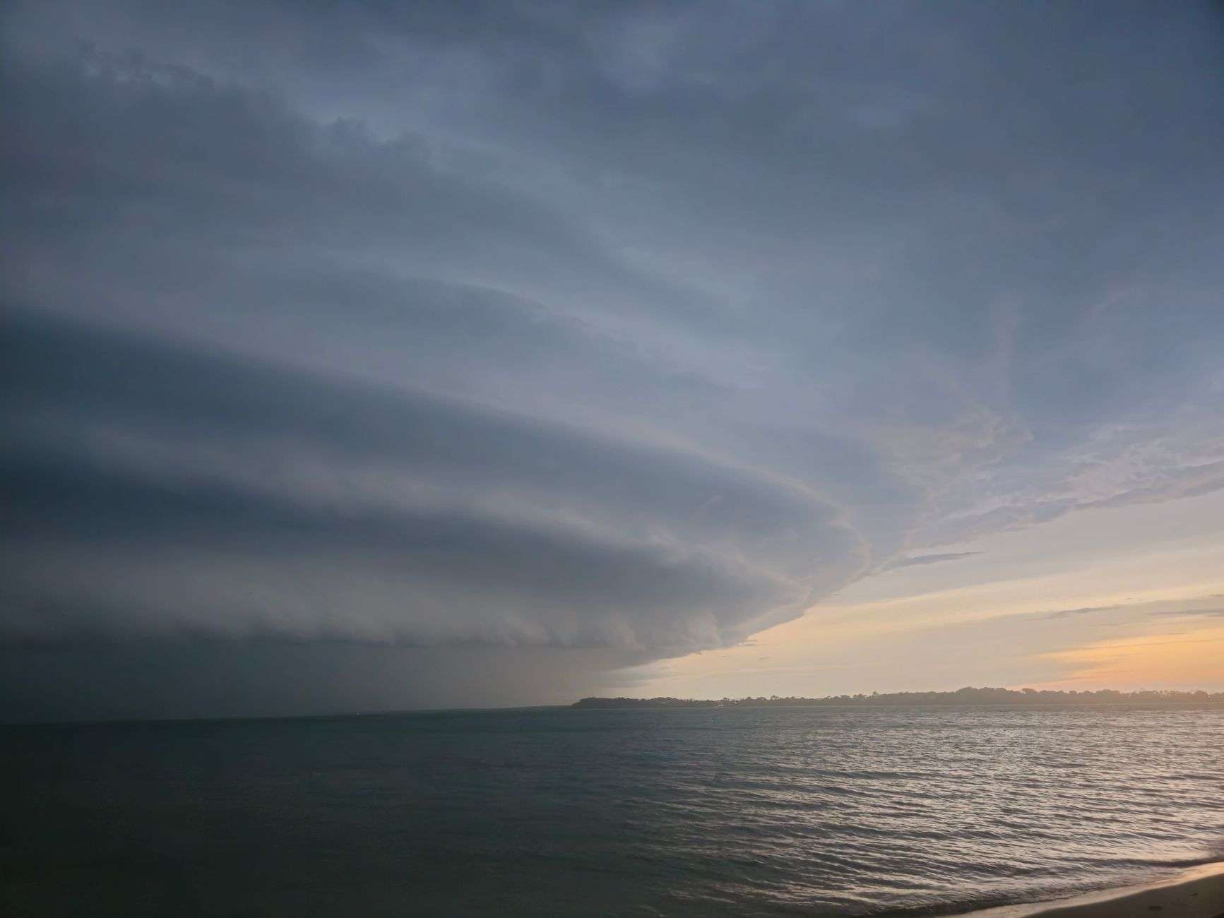
Do not put the sunglasses away. After a damp Saturday morning, temperatures on the Alabama Gulf Coast are headed back into the middle 90s by early next week.
Late-night showers and thunderstorms will move along the coast tonight, with the best chance for rain continuing into early Saturday morning.
Saturday: 50% Rain Chance, Upper 80s
The best opportunity for rain on Saturday falls between 4 a.m. and 10 a.m. Waking up to wet conditions would not be a surprise.
A few scattered showers could linger into the afternoon and evening as well.
High temperatures will reach the upper 80s.
Anyone heading to the beach or planning outdoor activities should keep an eye on coastal conditions — showers could pop up without much warning. That is characteristic of a Gulf Coast September, when sea breeze convection can build a thunderstorm over a stretch of beach in under an hour.
Sunday: Heating Up, 40% Rain Chance
Sunday brings a slight change in the pattern.
Expect possible morning coastal showers and some scattered storms in the afternoon, with rain chances at 40%.
The heat builds back in noticeably, with highs climbing into the low 90s.
Next Week: Summer Returns in Full Force
Temperatures will soar into the middle 90s by Monday and Tuesday, feeling more like peak summer than early fall.
Rain chances become more isolated as upper-level patterns stabilize the atmosphere later in the week.
While daytime highs and overnight lows will back off slightly by week’s end, the summer pattern is expected to continue through Friday.
Mid-90s air temperatures combined with Gulf Coast humidity produce heat index values well above the thermometer reading. Anyone working or exercising outdoors Monday and Tuesday should plan for water, shade and breaks accordingly.
Beach and Tropical Update
- Rip currents: Low risk this week, but stay weather-aware.
- Coastal showers: Watch for showers and thunderstorms near the coast, especially in the morning hours.
- Tropics: All quiet. No tropical storm formation is expected over the next seven days.
A quiet seven-day tropical outlook in mid-September is worth noting. This period sits within the climatological peak of Atlantic hurricane season, and a full week with no expected development is a welcome gap rather than an indication the season is finished.
Low rip current risk does not mean no risk. Conditions can change with wind and tide, and posted beach flags remain the authority at the water’s edge.