Gulf Shores Canal Road Reroute Advances With Survey Deal and Plan for Interim Bypass
Gulf Shores approved a $39,500 Sawgrass Consulting survey for a Canal Road reroute around Gulf Pines and outlined a midterm bypass via East 10th Street and Dolphin Avenue pending ALDOT approval.
GULF SHORES, Ala. — Gulf Shores has taken a formal step toward a Canal Road reroute that would pull State Route 180 traffic out of the Gulf Pines neighborhood, and city officials have revealed a shorter, interim bypass they hope to build first while they wait on the state for the permanent road.
At its regular meeting Monday, Oct. 12, the Gulf Shores City Council approved Resolution 7193, authorizing Mayor Robert Craft to sign a $39,500 professional services agreement with Sawgrass Consulting LLC to survey land along the proposed permanent bypass route. During the same meeting, city staff described a temporary, or “midterm,” route that would serve drivers for several years before the full bypass is built.
Both roads are still likely a few years away, officials said, and much depends on decisions by the Alabama Department of Transportation under a new state administration.
What the survey will do
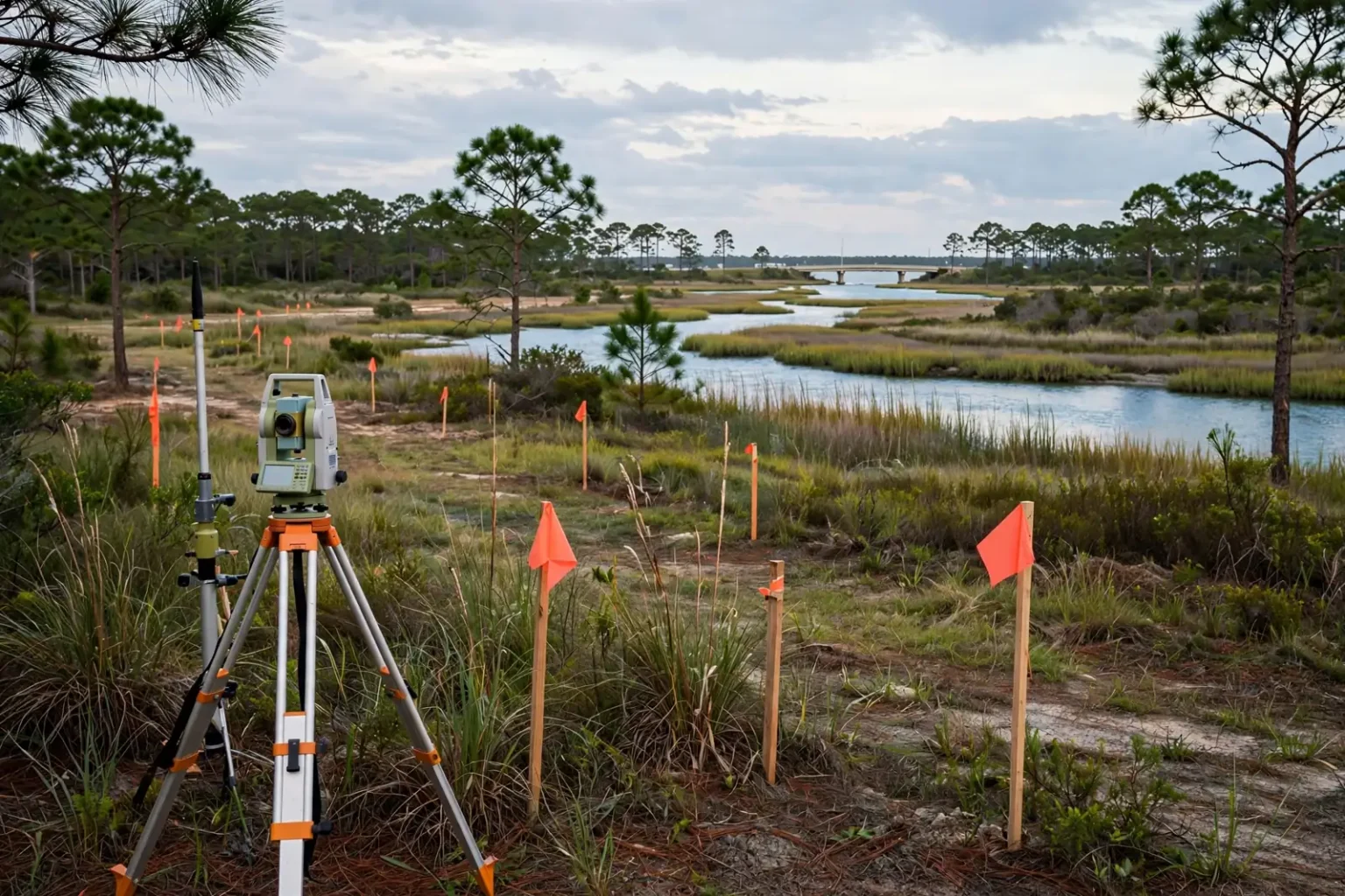
Under the agreement, Sawgrass Consulting will perform boundary surveys, prepare subdivision plats and draft legal descriptions across roughly 360 acres of property. The main goal is to establish a formal 140-foot right-of-way, matching the width of 20th Avenue, for a 1.5-mile roadway extension that would permanently move Canal Road around residential neighborhoods.
Survey work of this kind is typically one of the first steps before any road can be designed or built. Boundary surveys fix the exact legal lines of each parcel, subdivision plats are the recorded maps showing how land is divided, and legal descriptions are the precise written definitions of property used in deeds and transfers. Together they document exactly which land will be set aside for the roadway.
The permanent bypass would leave Canal Road east of the Gulf Shores Utilities wastewater treatment plant and eventually connect with East 2nd Street near East 20th Avenue. None of the permanent roadway would run through the Gulf Pines neighborhood.
A midterm bypass from East 10th Street to East 20th Avenue
Because the permanent road depends on a commitment from ALDOT, city staff have also planned an interim route. Community Development Director and Assistant City Administrator Lee Jones told the council that the city has already completed early drawings for it.
“We have completed a 30% set of drawings for a short-term reroute from East 20th Avenue to East 10th Street,” Jones said. “We plan to finalize those plans once we reach an agreement on roadway construction with the new ALDOT Director.”
The temporary bypass would begin at East 10th Street, which runs straight south from Canal Road. From the current end of East 10th Street, the road would be extended to line up with the east-west extension of East 20th Avenue, also known as Dolphin Avenue. The land south of East 10th and east of East 20th is currently undeveloped. The interim road would later become part of the permanent bypass.
Unlike the permanent route, the temporary bypass would have homes along the north side of Dolphin Avenue. Jones said it would still affect far fewer residents than the current detour.
“This way, we can construct new construction on less property as long as we got the land from (Gulf State Park), and we would impact far fewer residents in the Gulf Pines neighborhood with this midterm solution,” Jones said. “We figured we would have this designed and constructed starting in 2027 through 2034, and that would accommodate the traffic in that amount of time for kind of a midterm solution.”
Jones said the state approved the midterm plan a few years ago, and the city hired the engineering firm Volkert to develop construction drawings for it.
“We will start working with the new ALDOT director and their staff to bring this project back to the forefront and start talking with them about taking our 30% construction documents, pick those back up and start working on this midterm roadway alignment as well once the new ALDOT administration is in place,” Jones said.
Why Canal Road traffic runs through Gulf Pines
The reroute traces back to the city’s 2019 Major Street Plan and to the Waterway Village pedestrian bridge over the Intracoastal Waterway. As South AL News reported last week, the city won a $14.4 million federal BUILD grant in 2019 for a pedestrian bridge and plaza at East Second Street and State Route 180.
Building that bridge and plaza, now under construction at the intersection of Canal Road and East Second Street, required the city and ALDOT to close the sharp 90-degree turn that connected Canal Road East and East Second Street near Tacky Jacks. The project became necessary because of the widening of the W.C. Holmes Bridge, which carries Alabama 59 over the canal. Adding a third southbound lane to that bridge is taking away its walking and bicycle lane.
To keep east-west traffic moving, the city set up a detour through the Gulf Pines subdivision. Today, traffic coming from Orange Beach stays on Canal Road to East 3rd Street, turns south past popular Meyer Park to East 22nd Avenue, then heads west to connect to East 2nd Street.
Residents raised concerns about the volume of traffic near Meyer Park and on neighborhood streets, and city officials committed to acquiring land and designing a permanent bypass south of Gulf Pines.
Highway redesignation and a hurricane evacuation route
The reroute is about more than neighborhood traffic. Between the midterm and long-term phases, which the city projects for 2027 through 2035, State Route 180 would be formally redesignated. Drivers coming from Orange Beach on Highway 180 would follow 10th Street, connect to the new road at 20th Avenue and bypass residential streets entirely.
Once the new state highway alignment is complete, ALDOT would transfer the right-of-way for the old section of Canal Road between 10th Street and 4th Street back to the City of Gulf Shores to manage as a local street.
City leaders are also pressing ALDOT to convert the newer state bridge over the Intracoastal Waterway east of Gulf Pines, which now carries only southbound traffic, into a two-way crossing. Two-way traffic would create a secondary hurricane evacuation route off the island in addition to Alabama 59, serving residents of Fort Morgan and the surrounding coastal area.
Craft said he hopes the incoming state administration will take up that request, and that more traffic on the bridge would strengthen the city’s case for the bypass.
“It will become an evacuation route or a daily get-off-the-island route in addition to 59,” Craft said. “If that happens, it’s going to get busier and busier, and that will give us the opportunity to work with the state to get this road built and provide back to the citizens who live in Gulf Pines not to have to deal with that traffic.”
The need for evacuation capacity was on display this month, when Hurricane Isaias prompted a mandatory evacuation order for visitors in Gulf Shores, Orange Beach and Dauphin Island and temporary bridge closures.
Waiting on a new state administration
Alabama voters will elect a new governor on Nov. 3, and the next governor is expected to name a new transportation director. City officials said they need a commitment from ALDOT on the permanent bypass before it can move forward, and they plan to take the midterm plans back to the department once the new leadership is in place.
At an Oct. 5 work session, Craft acknowledged that the city does not yet have plans or money to build the road itself, but said securing right-of-way was the essential first step. Part of the route crosses former Gulf State Park land the city obtained through a land swap with the Alabama Department of Conservation and Natural Resources.
Other council actions
During the same regular meeting, the council also:
- Honored Hallie Vecsey as Lifeguard of the Month for September.
- Approved a conditional use permit for Gulf Shores Utilities to expand its water treatment plant on West Avenue.
- Added a new assistant manager of operations position, reporting directly to City Administrator Jon Walker, that “supports effective operations, service delivery, strategic priorities and organization goals.” The city is also looking to add a senior management analyst. The city is considering $28,000 in 2026 recruiting costs for the new positions and a projected ongoing personnel cost of $310,000. Once hired, the operations manager would earn about $145,000 and the analyst about $85,000.
- Changed zoning text to allow more than one home occupation license per residence. The Gulf Shores Planning Commission gave the change a favorable recommendation at its Sept. 22 meeting.
- Entered into a three-year, $102,600 contract with Park Loyalty for “beachfront parking enforcement, parking ticket collection, and exempt plate registration for residents and property owners.”
- Authorized a $1.5 million contract with McElhenny Construction for the 2026 street resurfacing program.
- Took up a contract with a local publisher for a second edition of the city’s book, “Gulf Shores: Small Town, Big Beach, the Next Wave,” which officials hope to have in hand for the 2027 National Shrimp Festival.
What happens next
Sawgrass Consulting will begin the survey work needed to lock in the right-of-way for the permanent bypass. Meanwhile, the city will wait for the new ALDOT leadership to take office before seeking an agreement to finish the midterm bypass plans. If the state signs on, city officials expect design and construction of the interim route to start in 2027, with the road carrying traffic through about 2034 until the full bypass is built.