Mobile County’s Online Crime “Hot Spot” Map Hasn’t Been Updated Since 2006
The Mobile County Sheriff's Office online crime 'hot spot' map hasn't reflected new data since 2006, leaving residents without current crime-trend.
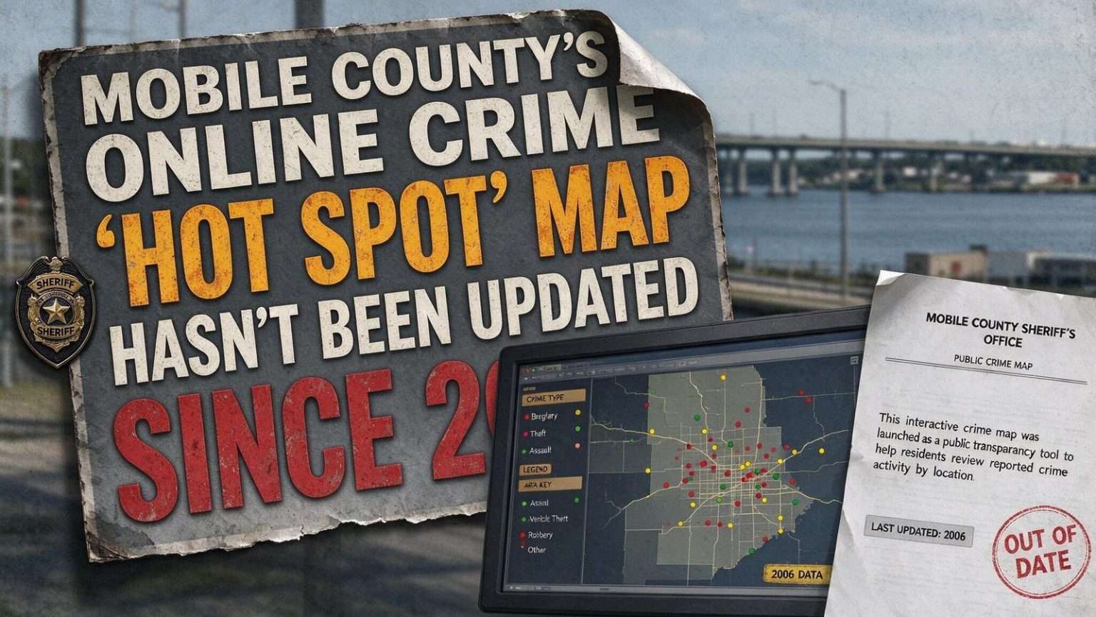
An interactive crime “hot spot” map published on the Mobile County Sheriff’s Office website has sat frozen since 2006, even as public interest in how local law enforcement shares crime data with residents has grown in recent weeks.
The map was built on the COMSTAT (short for “comparative statistics”) system, a computerized crime-mapping program that both the Mobile Police Department and the Mobile County Sheriff’s Office adopted in 2006. COMSTAT was designed to plot recent crime reports geographically so residents and officers alike could see which neighborhoods were seeing spikes in break-ins, thefts or violent crime, and to help commanders target patrols accordingly.
For years, the publicly posted version of that map offered residents a way to check crime activity around their homes and workplaces with a few clicks. Today, the same clicks retrieve a snapshot from a different era of Mobile County — and from a different generation of web technology.
A snapshot from a different era
For roughly three years, the publicly posted version of that map has not reflected any crime activity more recent than 2006, according to a review of the Sheriff’s Office website. That means residents checking the site for a sense of current hot spots in their neighborhood are instead seeing data that is now years out of date.
It is unclear whether the map’s stagnation reflects a technical issue, a staffing or budget constraint, or a policy decision to limit how much real-time crime data is shared publicly. The Sheriff’s Office did not have information posted alongside the map explaining the gap, and the site itself gives no indication to a casual visitor that the data is stale — a problem transparency advocates say is nearly as serious as the staleness itself.
How COMSTAT changed policing
When Mobile’s two largest law enforcement agencies adopted COMSTAT in 2006, they were joining a movement that had reshaped American policing over the previous decade. Computerized statistics and mapping — first popularized by big-city departments in the 1990s — promised to replace intuition with information, letting commanders deploy officers based on where crime was actually clustering rather than where it had traditionally been assumed to be.
The approach’s public-facing side was the crime map: a visual display of reported incidents that any resident could consult. For agencies, it doubled as a statement of openness, an implicit assurance that the department had nothing to hide from the neighborhoods it served. That promise, once made on a website, is difficult to keep without ongoing investment in the software and staff behind it.
Why it matters
Publicly available crime maps are a tool used by many law enforcement agencies nationwide to build community trust, help residents make informed decisions about their neighborhoods, and hold departments accountable for how they respond to reported crime trends. When a map like Mobile County’s goes years without an update, it loses much of that value, leaving residents without an easy way to independently track where crime has been concentrated recently.
The consequences reach beyond individual curiosity. Neighborhood associations, business groups and prospective homebuyers all consult crime data, and a frozen map can mislead more than it informs — suggesting, for instance, that an area has no recent break-ins when the truth is simply that no recent data exists. Researchers who study crime mapping have noted that stale data can erode trust faster than no data at all, because it signals an institution that has stopped tending its public commitments.
The technology has moved on
Since 2006, crime mapping has evolved dramatically nationwide. Modern platforms feed automatically from records management systems, updating daily or even in near-real time, and most allow residents to filter by date range, crime type and address, with email alerts for activity near a registered home or business. Regional and national services host maps for hundreds of agencies, often at little or no direct cost to the departments that participate.
Against that backdrop, a static map from 2006 stands out even more sharply. Mobile County residents who search for current crime data will typically find other sources — municipal police departments, third-party aggregator sites — but the Sheriff’s Office map itself remains a relic, drawn in the visual language and technical limitations of the mid-2000s web.
The sheriff’s office in county policing
The Mobile County Sheriff’s Office provides law enforcement for the county’s unincorporated areas and supports the smaller municipalities that lack their own departments, in addition to operating the Mobile County Metro Jail. Its coverage area spans a wide range of communities — suburban developments, rural stretches north of the city and waterfront neighborhoods along Mobile Bay — making it the primary agency for a substantial share of county residents.
That broad footprint is precisely why a public crime map matters more for the Sheriff’s Office than for a city department. Residents of unincorporated Mobile County often have fewer local news sources covering their communities, and an official map was once their most direct window into crime trends on their own streets.
The costs of transparency tools
Cybersecurity specialists and public records advocates note that keeping public data systems current requires ongoing budget attention — software licensing, server maintenance and staff time to review what gets published. When budgets tighten, public-facing tools like crime maps are often among the first casualties, since they are rarely tied to an agency’s core operations.
Whether that is what happened in Mobile County is unknown, because no explanation has been posted. The absence of any public note on the map — a simple banner acknowledging the data is no longer current would suffice, transparency advocates say — leaves residents to draw their own conclusions about why a tool adopted with fanfare in 2006 now sits untouched.
What residents can do
Until the map is refreshed or replaced, residents seeking current information about crime in their area have a handful of alternatives. The Sheriff’s Office posts press releases and incident updates on its website and social media channels, which offer case-level detail even if they do not provide the geographic overview a map supplies. Municipal police departments in the county maintain their own reporting channels, and national crime-data services now cover many Alabama communities.
Residents with specific concerns can also request information directly: law enforcement agencies in Alabama respond to public records requests for crime statistics, and many community organizations have found that a formal request, followed up with persistence, produces more detailed data than any website hosts. Neighborhood watch groups, meanwhile, remain one of the most effective ways to circulate accurate, current information among the people closest to it.
The accountability question
The deeper issue raised by the frozen map is one of institutional follow-through. An agency that publishes a transparency tool makes an implicit commitment to keep it truthful, and the difference between an outdated map and a clearly labeled archive is the difference between neglect and candor. Agencies across the country have faced similar moments — maps that fell silent after a software contract lapsed, dashboards that went dark after a records system upgrade — and the departments that weathered them best were the ones that explained the gap rather than letting it sit unexplained.
Whether Mobile County’s map returns, gets replaced with a modern platform or quietly disappears is now the open question. Each path would tell residents something different about how the Sheriff’s Office weighs its public commitments in an era when data, once promised, is expected to keep flowing.
Continuing coverage
South Alabama News will continue to check the status of the Sheriff’s Office crime-mapping tools and will report if the map is refreshed or if the agency provides an explanation for the outdated data. Residents who have tried to use the map, or who have received responses from the Sheriff’s Office about its status, are encouraged to reach out with what they have found — the review of public tools works best when the public takes part in it.
In the meantime, the frozen map stands as a small monument to a period when Mobile County’s agencies were among the state’s early adopters of public crime data — and a reminder that adopting a tool is only the first commitment. Keeping it honest is the one that lasts.
Crime mapping and community trust
Studies of police transparency have consistently found that accessible crime data changes how residents interact with their departments. People who can see reported incidents for themselves are better able to judge whether crime is rising or falling, less reliant on rumor, and more likely to report incidents of their own — which in turn improves the quality of the data. The virtuous cycle only functions while the data keeps flowing.
When the cycle breaks, the effects are subtle but real. Residents stop consulting the tool, neighborhood groups stop citing it, and the agency loses a low-cost channel for demonstrating its own responsiveness. Rebuilding that habit of use, once broken, requires more effort than maintaining it would have.
The 2006 adoption era
The mid-2000s were a period of rapid modernization for Alabama law enforcement, when records systems, dispatch technology and public websites all took large steps forward. Mobile’s adoption of COMSTAT by both the police department and the sheriff’s office in 2006 fit that pattern — an investment in the data-driven policing wave that had swept larger cities in the years before.
Two decades later, the departments’ technology footprints have diverged. The city police department’s public reporting and mapping capabilities have evolved with successive upgrades, while the county map remains where the 2006 adoption left it. The divergence illustrates a common pattern in local government: tools funded by a one-time purchase survive only as long as the commitment behind them.
What an update would take
Bringing the map back to life would require either reviving the legacy COMSTAT publication process or migrating to a modern mapping service, and either path involves decisions about what data to publish, how current it should be and who reviews it. Agencies that have made similar moves describe a familiar checklist: a data feed from the records system, filters that protect victim privacy, and a clear date stamp so residents always know what they are looking at.
Those requirements are modest by modern standards, which is why the map’s long silence raises more questions than a technical failure would answer. For now, residents of unincorporated Mobile County are left with a map that answered their questions well — in 2006.