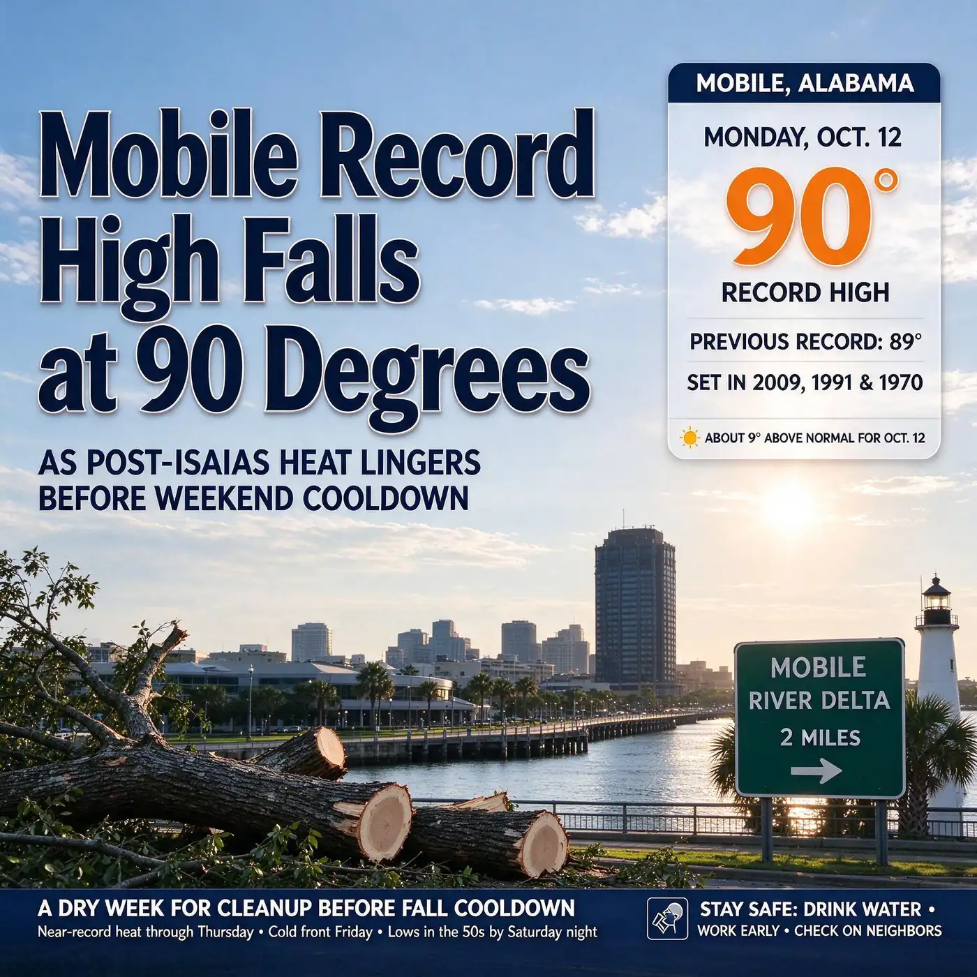
MOBILE, Ala. — Three days after Hurricane Isaias swept through the region, Mobile set a new record high. The city hit 90 degrees on Monday, Oct. 12, breaking the Mobile record high for the date of 89 degrees, according to the National Weather Service, and forecasters say more near-record heat is possible before a cold front brings a sharp, fall-like cooldown this weekend.
Monday’s 90 degrees topped a record that had been reached three times before, in 2009, 1991 and 1970. It was also 9 degrees above Mobile’s average high for Oct. 12.
Records fall, and others narrowly survive, across Alabama
Mobile was not the only Alabama city to reach the record books on Monday. Calera, home of the Shelby County Airport and of the National Weather Service office that once operated out of Birmingham, reached 87 degrees, edging past its previous record of 86 set in 2014.
Several other cities came within a single degree of a record:
- Anniston: 87 degrees, one short of its record of 88.
- Birmingham: 90 degrees, one short of the record of 91 set in 1963.
- Montgomery: 90 degrees, one short of the record of 91 set in 2017.
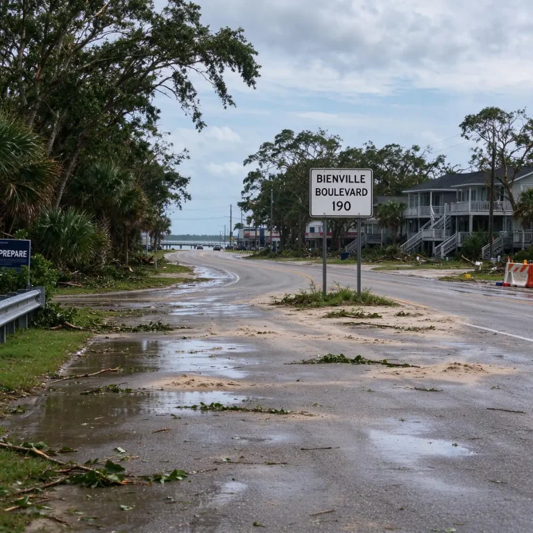
The heat comes as many residents in South Alabama are still cleaning up from Isaias, which made landfall near Destin, Fla., on Friday night, Oct. 9, as a Category 2 hurricane. Some households in the hardest-hit inland counties, including Escambia, Monroe and Conecuh, were still waiting for electricity on Monday, which means no air conditioning during a stretch of record-challenging October heat.
Why it is so hot after a hurricane
The pattern behind the heat is a classic post-storm setup. As Isaias moved away to the north and lost its tropical characteristics, high pressure built in across the Gulf Coast. High pressure brings sinking air, which suppresses clouds and rain and lets the October sun heat the ground with little interruption.
The air mass behind the storm is also dry. Low humidity has an important side effect: it keeps heat index values from climbing to the oppressive levels common in summer, and it lets temperatures fall quickly after sunset. That is why forecasters expect warm afternoons paired with comfortable nights, with lows in the lower 60s through midweek.
More record chances this week
Tuesday, Oct. 13, brings another chance for record highs, according to the National Weather Service, with afternoon temperatures forecast in the mid- to upper 80s across much of the state.
Locally, forecasters expect the heat to hold through Thursday, Oct. 15. Here is how the week is shaping up for the Mobile area:
- Tuesday: Sunny and dry, with highs in the upper 80s and another chance at a record.
- Wednesday and Thursday: Highs climbing toward 90 degrees, with record highs possible each day. Lows in the lower 60s.
- Friday: A cold front arrives, likely without significant rain. Winds pick up behind it and temperatures begin to fall.
- Saturday: A dramatic change, with highs expected only in the lower 70s.
- Saturday night: Lows dropping into the low 50s.
- Sunday and Monday: Cool, fall-like weather continues before a gradual warming trend early next week.
That would mean a swing of nearly 20 degrees in daytime highs between Thursday and Saturday. Temperatures are expected to warm gradually early next week but stay near normal for this time of year.
A dry week for cleanup
No rain is expected over the next seven days, a welcome break for residents and businesses recovering from the hurricane. The dry stretch gives roofers, tree crews and utility workers clear conditions to work, and gives homeowners a chance to dry out damaged property.
The flip side is the heat itself. Temperatures near 90 degrees, combined with the hard physical work of clearing debris and repairing homes, raise the risk of heat-related illness, especially for people without power. Standard heat safety guidance applies:
- Drink water often, even before you feel thirsty.
- Schedule heavy work for the morning, when temperatures are lower, and take frequent breaks in the shade or air conditioning.
- Check on neighbors, especially older adults, young children and anyone without electricity.
- Know the warning signs. Heavy sweating, weakness, dizziness, headache and nausea can signal heat exhaustion. Confusion, fainting or a very high body temperature can signal heat stroke, which is a medical emergency.
- Run generators safely, outdoors and away from doors, windows and vents, if you are using one to power fans or a window unit.
The tropics are quiet
There is more good news for a region still recovering from Isaias: the tropics are quiet. Forecasters are watching one area of disturbed weather a few hundred miles west of the Cape Verde Islands, off the west coast of Africa, but it has only a low chance of development and poses no threat to the Gulf Coast.
The Atlantic hurricane season runs through Nov. 30. Isaias, which became the season’s first hurricane on Oct. 7, an unusually late date, was a reminder that the Gulf can produce dangerous storms well into the fall.
October heat in context
Highs near 90 degrees are not unheard of in Mobile in mid-October, but they are well above normal. The city’s average high for Oct. 12 is about 81 degrees, and normal highs continue to slide downward through the rest of the month as the days shorten.
Monday’s record also follows a warm stretch for the region. Mobile’s September ranked as the eighth-warmest on record, with a rainfall shortfall and spreading drought conditions before Isaias arrived.
The cold front expected Friday should end the heat decisively. For residents who spent the weekend hauling limbs in near-90-degree sunshine, highs in the lower 70s and lows in the 50s should feel like the first real taste of fall.