The 2019 Atlantic hurricane season was officially underway by mid-June, and Gulf Coast residents had already gotten their first reminder that named storms do not wait for the calendar. Though the season formally began June 1, the first named storm arrived a week early, forming in an Atlantic basin that had barely settled into the new year’s rhythms.
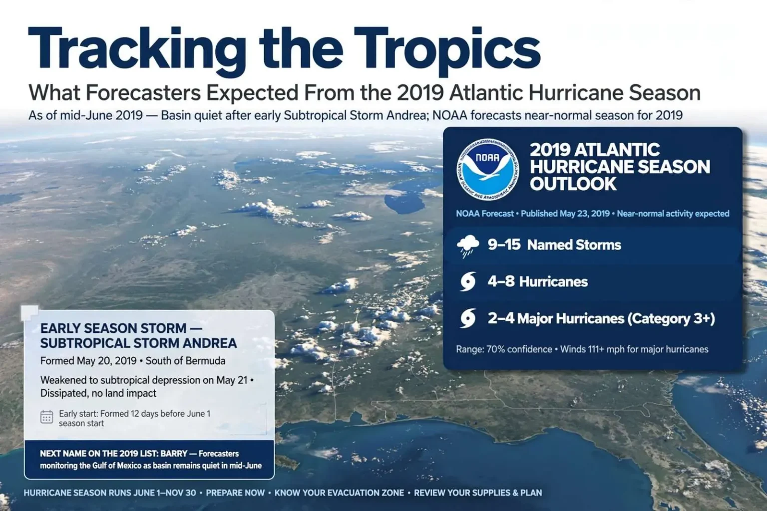
Hurricane Hunters with the National Oceanic and Atmospheric Administration investigated a disturbance south of Bermuda on May 20, and it developed into Subtropical Storm Andrea. The early-season system proved short-lived and never threatened land, weakening to a subtropical depression on May 21 and dissipating shortly afterward. For coastal residents from Texas to the Carolinas, Andrea served as little more than a name on a map — but also as an early signal that the machinery of another Atlantic season had started turning.
As of mid-June, the Atlantic basin was quiet, with nothing brewing anywhere that forecasters were tracking. But the calm carried a familiar weight along the northern Gulf Coast, because forecasters noted the next storm to form would carry the name Barry — a name that would soon become very familiar to anyone watching the Gulf of Mexico.
The Forecast: A Near-Normal Season
NOAA’s outlook for the season called for near-normal activity: nine to 15 named storms, four to eight hurricanes, and two to four major hurricanes — Category 3 or stronger, with winds of 111 mph or higher. Those ranges are the agency’s way of framing uncertainty in a system shaped by ocean temperatures, wind shear and the long rhythm of climate patterns that forecasters can measure but not fully predict in April and May.
A near-normal outlook is not a mild forecast. The ranges stretch wide because a single intense landfall can define an entire season for one community, whatever the basin-wide totals turn out to be. Nine named storms is enough to fill two months of the map; fifteen is enough to keep the Gulf and the East Coast on alert into November. The difference between the low end and the high end often comes down to conditions that shift week to week — Saharan dust, upper-level winds and the temperature of the water sitting beneath developing systems.
For emergency managers along the Alabama coast, the outlook is a planning tool rather than a promise. The numbers shape staging decisions, mutual aid agreements and public messaging, but they do not change the underlying calculus that any single storm that finds the coast is the one that matters.
Subtropical Storms and the Early Start
Andrea’s classification as a subtropical storm is worth unpacking, because the term appears at the edges of many recent seasons. A subtropical system is one that has some characteristics of a tropical cyclone and some of an ordinary low-pressure system — it draws part of its energy from the temperature contrast between air masses rather than solely from warm ocean water. These systems often form outside the traditional tropics, in cooler waters and higher latitudes, which is exactly where Andrea’s disturbance appeared south of Bermuda.
Sometimes a subtropical storm converts fully to a tropical storm as it moves over warmer water and its structure tightens. In Andrea’s case, the system never got the chance. It weakened to a subtropical depression on May 21, one day after forming, and dissipated shortly afterward without ever approaching land. Its brief life was recorded, named and archived — and it put the first name of the season on the board before the season technically began.
The Hurricane Hunters’ role in the story is also familiar to Gulf Coast residents. The NOAA aircraft and their crews fly reconnaissance missions into and around developing systems, gathering the pressure readings, wind measurements and structural data that feed the forecasts issued from the National Hurricane Center. Early-season flights like the May 20 investigation into the disturbance south of Bermuda help determine whether a blob of clouds deserves a name — and they keep the science of storm structure advancing with every pass through a system.
What the Calendar Does Not Control
The June 1 start date for hurricane season is a convention, not a law of nature. The official calendar runs through Nov. 30, covering the months when Atlantic activity statistically peaks, but named storms have formed in every month of the year. Andrea’s arrival a week before the official start was another entry in a growing list of early-season systems, and it reinforced the guidance forecasters repeat every spring: the calendar is a rough guide, and preparation cannot wait for it.
Along the Alabama coast — from Dauphin Island and Gulf Shores to the bay communities around Mobile — the first weeks of June are traditionally when residents check their supplies, review evacuation routes and confirm insurance documents. The presence of a named storm on the map before the season opened made those conversations concrete a little earlier than usual.
Why the Gulf Coast Watches Every Name
Residents of the northern Gulf have learned to pay attention to every named system, no matter how unremarkable its start. Storms that form in the Atlantic or the Caribbean can strengthen rapidly as they approach the Gulf’s deep warm water, and history along this coastline is a catalog of systems that arrived quietly and left changed communities behind. The NAMES on the annual list become local milestones — dates around which families measure their own histories of evacuation, loss and rebuilding.
That is why the note about the next name carried weight in mid-June. Whatever formed next in the basin would be Barry, and the Gulf of Mexico has a long memory for storms that carry its names. Forecasters’ remark that the name would soon become familiar to anyone watching the Gulf was not a prediction of a specific track — it was a statement about how quickly a quiet basin can change, and how closely the coast watches each addition to the list.
The naming system itself, maintained by the World Meteorological Organization, exists to make communication about storms unambiguous. When several systems threaten different areas at once, shared names keep emergency bulletins, shipping traffic and public warnings aligned. Each name retired after a catastrophic storm leaves a permanent record of why the practice matters.
Prepare as if the Big One Is Coming
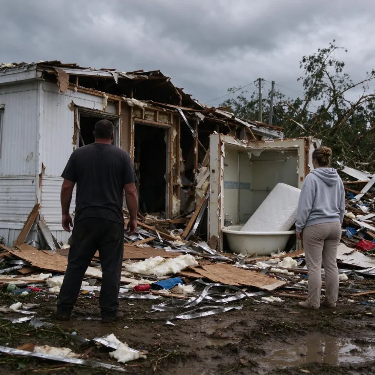
For communities along the Alabama coast and the rest of the northern Gulf, the message from forecasters and emergency officials was the one residents hear every year: prepare as if the big one is coming, every year. The advice is deliberately indifferent to the seasonal outlook, because the outlook tells you how many storms may form, not where the one that finds your neighborhood will come from.
Practical preparation follows a well-worn checklist. Families are urged to build kits with water, food, medications and documents to last through days without power; to know whether they live in an evacuation zone and which routes lead out; and to have a communication plan for the hours when cell service fails. Homeowners are reminded to photograph their property for insurance purposes and to check whether flood coverage — which standard homeowner policies do not include — is current.
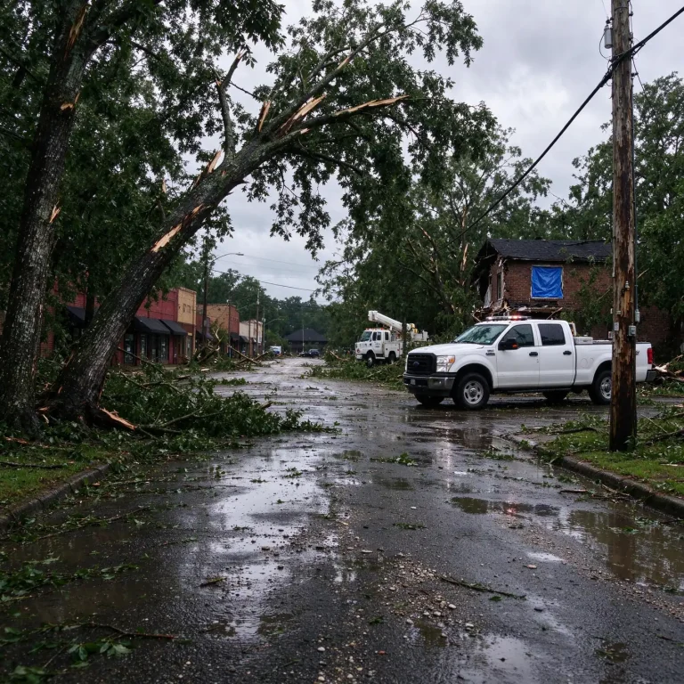
Local governments run their own parallel preparations. Coastal counties test alert systems, coordinate with the state emergency management agency, and pre-position equipment for debris removal and search and rescue. Utilities stage crews to restore power, and shelters are identified well before the first tropical wave leaves the African coast.
The Season Ahead
With the basin quiet in mid-June, the 2019 season stood at its traditional starting line. The peak of the Atlantic season typically arrives in late August and September, when ocean heat is at its maximum and wind shear at its most forgiving, meaning the quiet of June tells residents very little about what the second week of September will look like. The Gulf of Mexico in particular tends to produce its most dangerous systems on its own schedule, sometimes forming storms close to shore with only days of warning.
That gap between the quiet map and the season’s potential is the reason the mid-June check-in matters. NOAA’s forecast ranges — nine to 15 named storms, four to eight hurricanes, two to four majors — will be revised as the season develops, and each system that forms will be tracked from wave to landfall with a precision earlier generations of coastal residents never had. The Hurricane Hunters, the satellite network and the forecasters at the National Hurricane Center give the Gulf Coast more warning time than any previous era has enjoyed.
But the technology only converts information into safety when people act on it. The residents of Dauphin Island, Gulf Shores, Orange Beach and the bayshore communities have heard the standard advisories many times over the years, and every season renews the test of whether the message has stuck: know your risk, make your plan, and treat every named storm as the one that could be yours.
The 2019 season had begun, on schedule or not, with a subtropical system that fizzled harmlessly near Bermuda. The Atlantic would give the Gulf Coast many more names before November. The only question that mattered along the northern Gulf shore — as it is every year — was which ones, and the answer to that arrives one system at a time.