

FAIRHOPE, Ala. — Fairhope has been named one of the nine most scenic towns in the Southern United States for 2026, and it is the only Alabama community on the list.
The roundup does not treat the city as a generic waterfront postcard. It reaches back to what makes Fairhope structurally unusual — its founding as a single-tax colony in 1894 — and then points to three specific things a visitor can actually go see: the Weeks Bay Reserve, the Eastern Shore Art Center, and the Grand Hotel at Point Clear.
Each of those is worth unpacking, because together they explain why a small city on the eastern shore of Mobile Bay keeps turning up on lists like this one.
A Town Founded on an Economic Argument
Fairhope did not grow the way most Gulf Coast towns grew. It was founded deliberately, in 1894, by followers of the economist Henry George.
George’s central idea was the single tax: that land value, rather than labor or buildings or commerce, should be the basis of public revenue. His reasoning was that land value is created by the community around it — by roads, neighbors, schools, proximity — rather than by anything the owner does, and that the community therefore has the stronger claim to it.
The colonists who came to the bluff above Mobile Bay set out to test that idea in practice. The Fairhope Single Tax Corporation holds land and leases it to residents, collecting a payment tied to land value in place of the private ownership pattern found nearly everywhere else in the country. The arrangement has persisted for more than 130 years.
The visible consequence is the thing visitors notice without knowing why. Fairhope’s waterfront is public. The bluff, the pier, the park and the shoreline were not carved into private lots, which is precisely what happened along most of the developable Gulf Coast during the twentieth century. A town that can still offer a public sunset over the bay is a town that made a decision about land a very long time ago and stuck to it.
That decision is also why the downtown reads the way it does — walkable, dense with independent storefronts, planted heavily enough that the flower baskets have become a civic signature.
How the Land Arrangement Works Today
The single-tax colony is not a historical marker. It is an operating institution, and understanding how it functions explains a good deal about the town’s physical character.
The Fairhope Single Tax Corporation owns land within its holdings and grants long-term leases to residents, who own their homes and improvements but not the ground beneath them. Lessees pay an annual demand to the corporation based on the value of the land, and the corporation uses that revenue to cover the property taxes owed on the land and to fund public improvements in the community.
The practical effect for a homeowner is that the land payment substitutes for a portion of what would otherwise be an individual property tax obligation. The practical effect for the town is an entity with a permanent institutional interest in keeping certain land in public use rather than selling it to the highest bidder.
Not all of modern Fairhope sits on colony land — the city has grown well past the original holdings — but the core, including the downtown and the waterfront, traces back to it. That is why the bluff and the pier are a park rather than a row of private lots.
The Delta at Its Back
One feature the scenic listings rarely mention sits just north of town and shapes everything around it.
The Mobile-Tensaw Delta is among the largest river deltas in the United States, a vast network of rivers, bayous, cypress swamp and bottomland hardwood forest where the Alabama and Tombigbee rivers converge before emptying into Mobile Bay. It is one of the most biologically diverse regions in North America, and it is the reason Mobile Bay behaves the way it does — a comparatively shallow estuary fed by an enormous freshwater drainage.
That freshwater input is part of what produces the jubilee, the marsh at Weeks Bay, and the seafood that ends up on Fairhope restaurant menus. A town praised for its scenery is sitting at the downstream end of a watershed draining most of Alabama.
Weeks Bay Reserve
The listing highlights the Weeks Bay Reserve and its thousands of acres of marsh and hardwood forest, southeast of town where the Fish and Magnolia rivers empty into Weeks Bay.
The reserve protects the estuary where fresh water meets salt — the nursery habitat that a great deal of the Gulf’s marine life depends on at some point in its life cycle. Shrimp, blue crab and numerous finfish species use estuarine marsh as juveniles before moving offshore, which makes a protected estuary a working piece of the regional seafood economy rather than only a piece of scenery.
For visitors, the reserve’s most accessible feature is its boardwalk system, which carries walkers out over the marsh and, at the pitcher plant bog, through one of the more unusual plant communities in the Southeast. Carnivorous pitcher plants grow in nutrient-poor, saturated soils and derive what they need from insects instead — a landscape that looks nothing like the rest of Baldwin County.
The reserve also runs an interpretive center and educational programming, which is the part that tends to matter most to families making the drive.
The Eastern Shore Art Center
Downtown, the listing points to the Eastern Shore Art Center and its exhibitions and classes.
The art center is the institutional anchor of something Fairhope has been building for decades. The city supports a working population of artists, several galleries, and an arts calendar that culminates in an annual arts and crafts festival large enough to reorganize downtown traffic for a weekend every spring.
What the art center adds to that is continuity. A festival is an event. Rotating exhibitions and a class schedule are infrastructure — the thing that keeps a local arts scene producing rather than only hosting.
The Grand Hotel at Point Clear
A few miles south along Scenic Highway 98, the listing calls out the Grand Hotel Golf Resort and Spa at Point Clear: 550 bayfront acres, two golf courses, a private beach, and a history running back to 1847.
That 1847 date makes the Grand one of the oldest continuously operating resort properties in the region, and its history is bound up with the bay itself. Point Clear became a summer destination in the nineteenth century for Mobile families escaping the heat and the fever seasons of the city, reachable by steamer across the bay. The resort has been rebuilt and expanded repeatedly since, but the underlying draw has not changed: a long stretch of shoreline facing west, with live oaks behind it.
The drive between Fairhope and Point Clear along Scenic 98 is, for many visitors, the scenery the list is actually describing — a narrow road under an oak canopy with the bay appearing on the right.
What Makes the Light Different Here
Fairhope’s reputation rests substantially on one geographic accident: it faces west across open water.
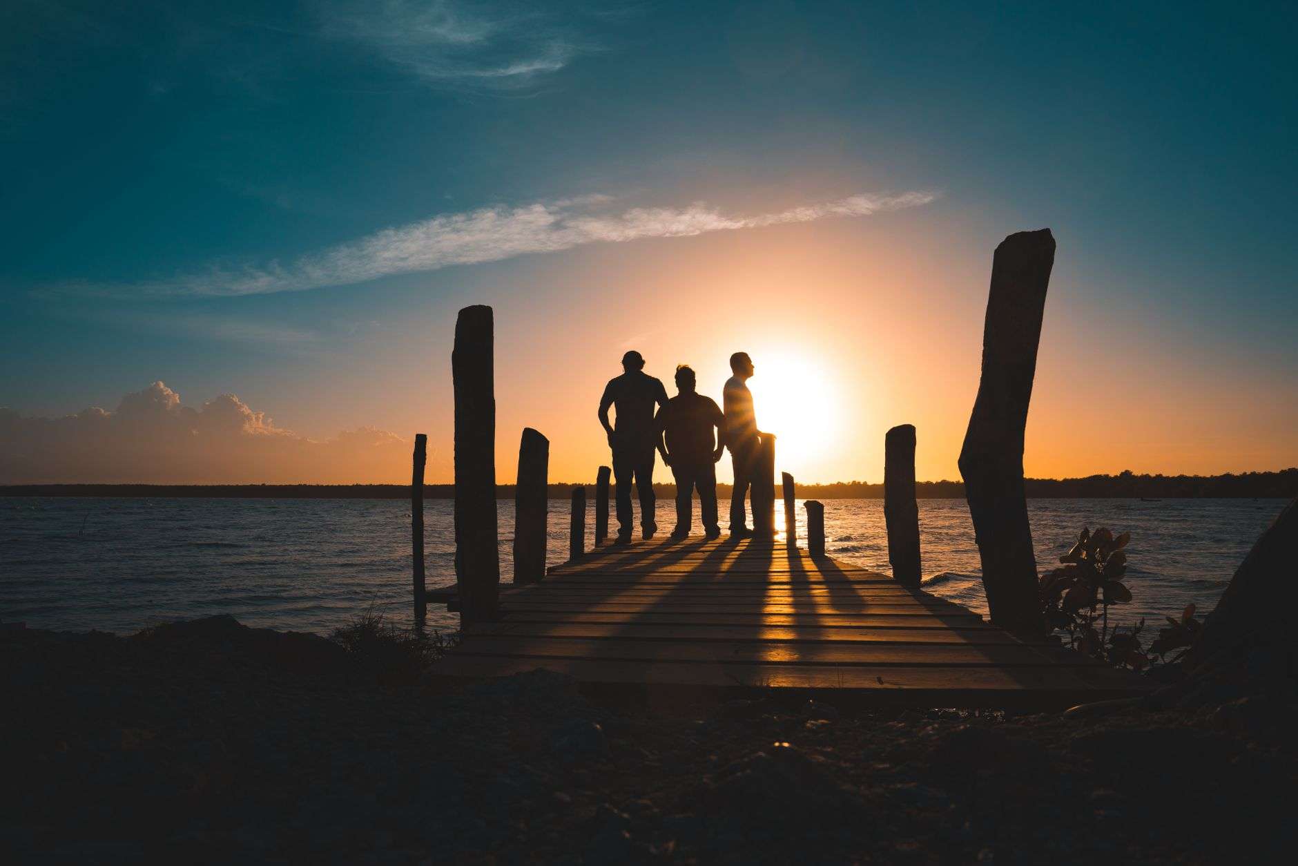
Most of Alabama’s coastline faces south toward the Gulf. Fairhope sits on the eastern shore of Mobile Bay, on a bluff roughly 40 feet above the water, looking west. That orientation means the sun sets over the bay rather than beside it, and it means the municipal pier points directly into the sunset.
It also produces the phenomenon the area is best known to naturalists for. The jubilee — a summer event in which crab, shrimp and flounder crowd into the shallows along the eastern shore, driven there by a specific combination of low oxygen, wind and tide — occurs reliably in only a small number of places on earth, and Mobile Bay’s eastern shore is one of them. Residents have historically been roused in the pre-dawn hours by word that a jubilee was on.
Why Recognition Like This Matters
National lists are, by nature, soft news. What they do materially is shift attention, and attention in a small coastal city translates into hotel nights, restaurant covers and real estate inquiries.
Fairhope is already carrying that kind of momentum. The city’s dining scene has drawn its own national notice this year, and the eastern shore’s residential growth has been among the strongest in Alabama for the better part of a decade.
Which surfaces the tension that any town on a “most scenic” list eventually has to manage. The qualities being praised — a walkable downtown, a public waterfront, oak-canopied roads, an unhurried scale — are qualities that growth pressures directly. Fairhope’s land arrangement gives it a tool most towns do not have for protecting the waterfront specifically, but it does not settle the questions of traffic, density and housing cost that follow popularity.
For the moment, the recognition stands on the simple facts behind it: a bluff facing west, an estuary reserve full of marsh and pitcher plants, an art center with a class schedule, and a resort that has been open since before the Civil War.
If You Are Planning a Visit
- Fairhope Municipal Pier and Park — the public waterfront at the foot of the bluff, and the town’s sunset vantage point.
- Downtown Fairhope — walkable, independent storefronts, heavily planted.
- Eastern Shore Art Center — rotating exhibitions and classes, downtown.
- Weeks Bay Reserve — boardwalks over marsh, the pitcher plant bog, and an interpretive center southeast of town.
- Scenic Highway 98 to Point Clear — the oak-canopied bay drive south toward the Grand Hotel.