
Gulf Coast Forecast: Breezy, Mild Start to November, Storm Chances Wednesday and 40s Possible by Next Weekend
The central Gulf Coast starts November breezy and mild, with a mostly dry Election Day, rain and a few storms Wednesday and cooler mornings by next weekend. A high rip current risk continues at area beaches.
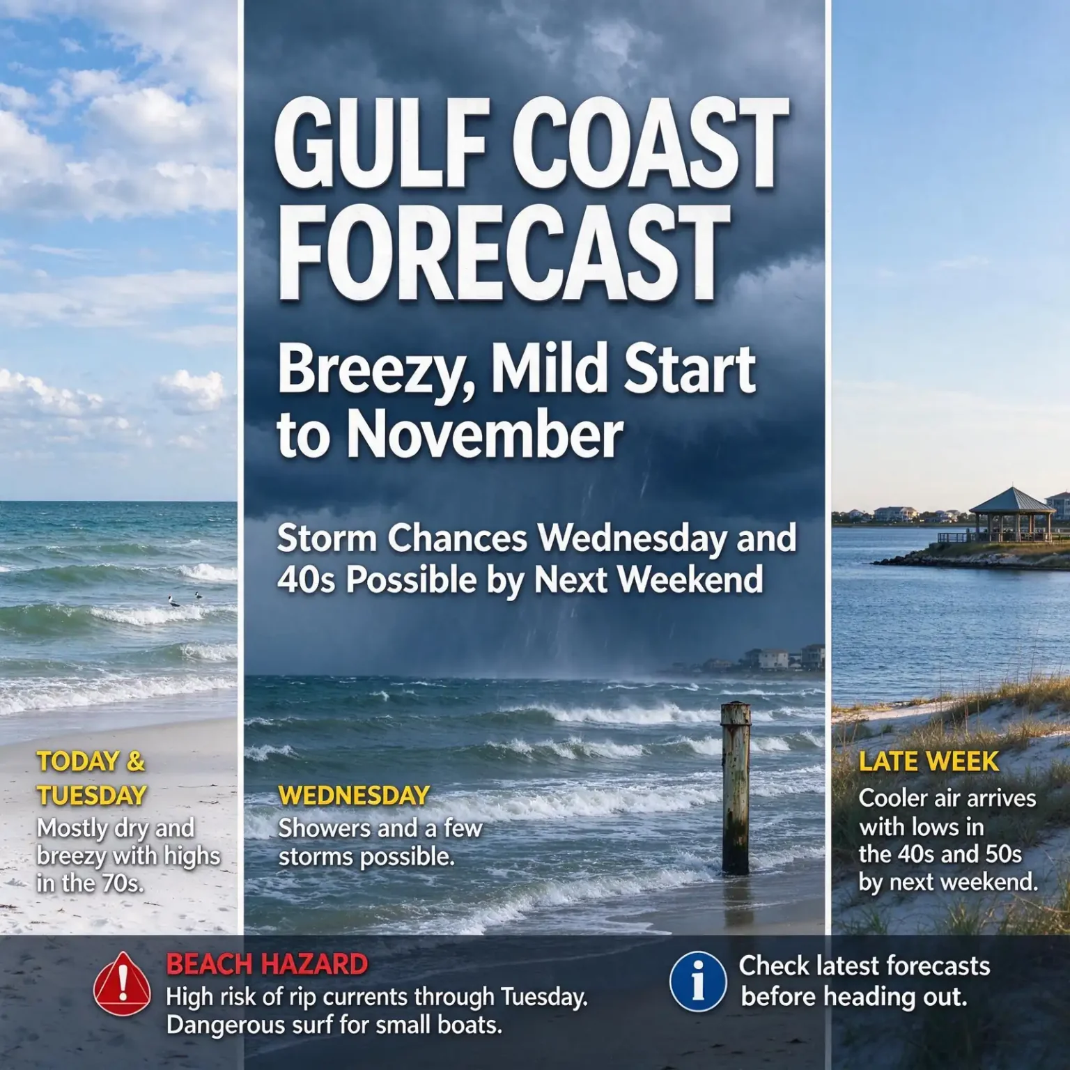
MOBILE, Ala. — November is opening with mostly cloudy skies, a steady easterly breeze and a few showers across the central Gulf Coast, but a quieter start to the workweek should give way to storms Wednesday and the coolest mornings in some time by next weekend.
The forecast below reflects guidance as of Sunday, Nov. 1. As with any forecast several days out, timing and details may shift, so check for updates before making outdoor plans.
Monday and Tuesday: Mostly dry and breezy
A weak disturbance that brought a few showers Sunday afternoon was expected to move out by Sunday evening, leaving partly cloudy skies overnight and temperatures in the 60s to start Monday.
High pressure building overhead will help limit rain chances Monday and Tuesday. Most communities should stay dry, although a passing shower is possible.
- Monday: Highs in the middle to upper 70s
- Tuesday: Highs in the upper 70s to near 80
- Morning lows: In the 60s, closer to 70 along parts of the coast
- Winds: Easterly and breezy, gradually turning southeasterly ahead of the next system
That’s welcome news for anyone planning to vote Tuesday. Polls are open from 7 a.m. to 7 p.m., and the main rain chances are not expected to arrive until late Tuesday night.
Wednesday: Showers and a few storms
The next organized chance for rain arrives late Tuesday night into Wednesday as a storm system and cold front approach the Gulf Coast.
Wednesday looks like the main day for showers and a few thunderstorms, with the greatest coverage currently expected away from the immediate coast. Highs will stay in the upper 70s to near 80.
Recent forecast trends show a weaker system tracking farther north, which would limit the local severe weather potential. The severe threat currently looks low, but the timing, track and strength of the system are still being watched.
Late week: A real cooldown
The front is expected to move through late Wednesday into Thursday, allowing drier air to settle in for the end of the week.
Morning temperatures will begin to fall Thursday, with a more noticeable drop by Friday and Saturday. By next weekend, many inland communities could wake up in the 40s, with 50s closer to the coast.
Afternoons should stay comfortable, with highs generally in the 70s. Sunshine, cool mornings and mild afternoons make next weekend look promising for outdoor plans, a good sign for local events on the calendar, including the Fido Fest at Waterfront Park in Orange Beach on Sunday, Nov. 8.
Dangerous conditions at the beach
The most serious hazard this week is in the water. A high risk of life-threatening rip currents continues at all area beaches through at least Tuesday and could extend into Wednesday. People should stay out of the Gulf while these conditions persist.
Surf heights of 3 to 5 feet were expected through Monday. Strong easterly winds are also making conditions hazardous for small boats, with offshore seas building to 5 to 7 feet. A Small Craft Advisory remains in effect for offshore Gulf waters through early Monday evening.
Rip current safety
The National Weather Service urges beachgoers to know what the beach warning flags mean before they go, and to look for them near lifeguard stands. In coastal Alabama, Fort Morgan and Dauphin Island have rip current signs that flash when the weather service’s Mobile office issues a high risk.
The usual guidance is simple:
- Stay out of the water when a high risk is posted.
- If caught in a rip current, stay calm and don’t fight it by swimming straight back to shore.
- Swim parallel to the shoreline until you are out of the current, then swim toward shore.
- If you can’t escape, float or tread water and call or wave for help.
- If you see someone in trouble, get help from a lifeguard or call 911 rather than going in after them.
The week at a glance
- Monday: Mostly dry, breezy; mid to upper 70s
- Tuesday: Mostly dry, breezy; upper 70s to near 80; rain chances increase late at night
- Wednesday: Showers and a few storms; upper 70s to near 80; low severe threat
- Thursday: Front moves through; drier air begins to arrive; lows start to fall
- Friday and Saturday: Cooler mornings and mild afternoons
- Next weekend: Lows in the 40s inland and 50s near the coast; highs in the 70s