

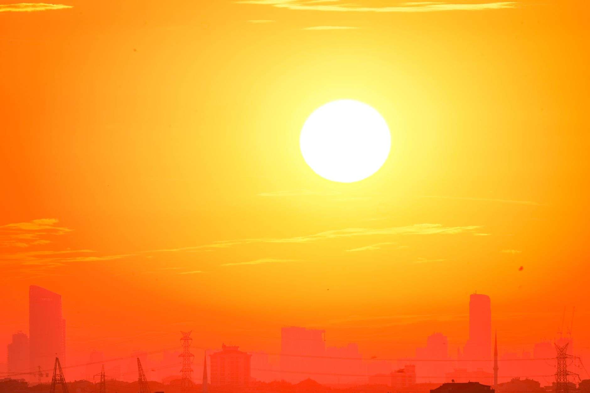
MOBILE, Ala. — July 2026 went into the record books as one of the hottest and driest Julys Mobile has seen in decades, and forecasters say there’s little relief on the horizon as the region heads into the peak of both summer heat and hurricane season. The combination of exceptional heat, below-normal rainfall and an active tropical pattern ahead has put residents, emergency managers and utility crews on alert heading into the most dangerous stretch of the Gulf Coast calendar.
A historically hot, dry July
Mobile finished July 2026 as the eighth hottest July on record, with an average temperature of 83.7 degrees — 1.7 degrees above normal. The month was also the seventh driest July on record, with only 3.82 inches of rainfall recorded, roughly 3.9 inches below the monthly average. For a city whose July climatology is usually defined by daily afternoon thunderstorms rising off the Gulf and the bay, the absence of the normal rain pattern was as striking as the heat itself, and the two reinforced each other: without cloud cover and storm-cooled afternoons, the days baked and the nights barely cooled.
Heat was the defining story of the month. Temperatures ran above average on nearly every day in July, with highs reaching the upper 90s on multiple occasions and peaking at 98 degrees on July 28. The extended stretch of dangerous heat triggered multiple Heat Advisories and Extreme Heat Warnings across the Gulf Coast, the kind of alerts usually reserved for the most oppressive air masses that settle over the region when a stubborn ridge of high pressure parks itself over the Deep South. Outdoor workers, elderly residents, athletes and anyone without reliable air conditioning were urged to limit exertion during the afternoon and early evening hours, when heat indices climbed well into the danger zone.
The month broke down into distinct chapters. The first half saw temperatures running 2 to 3 degrees above the climatological normal. A brief weather system moved through around July 13-15, offering a short break from the heat before temperatures rebounded. By late July, a prolonged heat stretch pushed temperatures 4 to 5 degrees above average, capping the month on a particularly intense note. That final week produced the hottest readings of the summer so far and left soils parched, lawns browned and shallow-rooted trees stressed across Mobile and Baldwin counties.
Where the rain didn’t fall
Despite scattered afternoon thunderstorms, nearly half the month saw no measurable rainfall. Most of July’s precipitation came from isolated afternoon storm activity, meaning some neighborhoods picked up a quick downpour while others a few miles away stayed completely dry — a hit-or-miss pattern that shows up starkly in rainfall totals across the metro area. Mobile Regional Airport, the official climate recording station for the city, recorded a monthly rainfall total well below the historical average, and the deficit matters beyond gardening. Summer rainfall is what keeps regional reservoirs, creeks and the shallow water table replenished; a single month running nearly four inches behind schedule strains lawns, agriculture and the moisture that would otherwise temper daytime heating.
The dry pattern also has implications for the hurricane season now approaching its peak. Paradoxically, a drought can coexist with flood danger along the Gulf Coast: parched ground sheds sudden downpours quickly, increasing flash-flood risk when tropical systems or slow-moving storm clusters arrive, even after months of dry weather. Emergency managers in Mobile County note that the same month that produced watering bans and brown lawns can, within days, produce street flooding if a stalled tropical rain band sets up over the area.
What August typically brings
August is climatologically the hottest month of the year for the Gulf Coast, with average highs beginning around 91 degrees. The Gulf of Mexico’s moderating influence tends to slow the pace of any cooling through the month, keeping conditions warm and humid well into early fall. Sea surface temperatures in the Gulf and the nearby Atlantic run at their annual maximum in late August and early September, which means overnight lows rarely drop enough to give residents a real break — the muggy nights are as much a health concern as the daytime highs, because the body never gets a chance to recover from the heat of the day.
The Climate Prediction Center is forecasting above-normal temperatures across the Deep South for August, suggesting the region’s hot stretch is likely to continue. Residents should expect more days in the mid-to-upper 90s when rain is scarce, and continued heat advisories whenever humidity pushes the heat index into advisory territory. Forecasters recommend the usual precautions: drinking water throughout the day, moving outdoor work and exercise to the early morning, checking on elderly neighbors and pets, and never leaving children or animals in parked vehicles.
Peak hurricane season ahead
August also marks the beginning of the most active portion of the Atlantic hurricane season. The season’s statistical peak falls in early-to-mid September, but history shows that August can quickly turn dangerous: Hurricane Andrew devastated south Florida in August 1992, and Hurricane Katrina formed in August 2005 before its catastrophic landfall on the central Gulf Coast. Mobile knows this history firsthand — the city has taken direct hits from major hurricanes before, including Hurricane Frederic in 1979, and more recently felt the effects of Hurricane Sally’s slow-motion flooding along the Gulf Coast in 2020. Warm Gulf waters are the fuel for these storms, and the same ocean heat that keeps Mobile’s nights oppressive also gives any developing tropical system more energy to work with.
For residents, the arrival of the season’s peak is a reminder that preparations made now are far easier than preparations made under a hurricane watch. Officials with Mobile County Emergency Management Agency encourage households to review their disaster plans, restock emergency kits with water, nonperishable food, medications, flashlights and batteries, verify insurance coverage and flood policies, and identify evacuation routes before they are needed. Hurricane season runs through November 30, but the weeks from mid-August through late September are when the majority of named storms form, and the Gulf Coast is squarely in the zone where systems crossing the basin can intensify rapidly in the warm summer waters.
The convergence of record heat and tropical risk puts additional pressure on local infrastructure. Power demand spikes during heat waves, straining the grid when outages would be most dangerous; drainage systems that go into a tropical event already stressed by drought can behave unpredictably; and first responders who have been managing heat-related calls all summer will be the same personnel needed for storm response. City and county officials say the lesson of the month is that the Gulf Coast’s weather extremes are not separate problems but one continuous season of readiness that runs from the first heat advisory through the last tropical system of the fall.
Looking ahead to fall
Relief, when it comes, typically arrives gradually along the northern Gulf Coast. Average highs slip back toward the low 90s by early September and the upper 80s by October, but the tropics remain active through much of that cooling, and the first real taste of autumn air usually does not reach Mobile until late October or November. In the meantime, forecasters say the pattern that defined July — a hot, mostly rain-free regime broken by scattered afternoon storms — is likely to persist into August, with the heat offset only by whatever daily sea-breeze storms manage to form.
For now, the record stands: the eighth-hottest and seventh-driest July in Mobile’s long climate history, capped by a 98-degree day on July 28 and a rainfall deficit of nearly four inches. Residents heading into the season’s peak months are being asked to do two things at once — respect the heat that is here and prepare for the storms that may be coming — because on the Gulf Coast in August, both are always on the table.
Local health providers also report that heat-related illness tends to accumulate across a long stretch like July’s, rather than spiking on a single day. Dehydration, heat exhaustion and heat stroke bring a steady stream of patients to urgent care clinics and emergency departments during multi-week heat regimes, and the cumulative strain is hardest on outdoor laborers in construction, landscaping, roofing and shipping work — industries that employ thousands across the Mobile metro area. The port, the shipyards and the region’s road crews all operate largely outdoors, making heat safety a workplace issue as much as a household one.
School calendars add another layer to the seasonal math. Public schools across Mobile County return to class in early August, which means students, marching bands and athletic teams are beginning fall practices during the hottest weeks of the year. The Alabama High School Athletic Association’s heat-acclimatization policies govern practice lengths and rest breaks for football and other outdoor sports, and athletic trainers across the region treat the first weeks of August with the same caution emergency managers apply to the heat advisories that accompany them.