Heat Index Could Top 110 as North Escambia Faces More Afternoon Storms Through the Weekend
A heat advisory is in effect for the North Escambia area Thursday as afternoon heat index values climb as high as 112 degrees, with scattered storms continuing through the weekend and into next week.
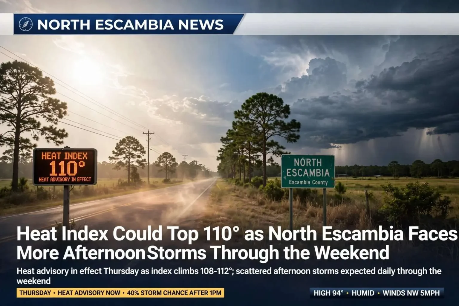
Another round of dangerous heat is settling over the North Escambia area, with a heat advisory in effect Thursday as afternoon heat index values climb into the 108-to-112-degree range. Forecasters say scattered afternoon thunderstorms will keep popping up through the week, some capable of producing brief heavy rainfall and locally strong to damaging wind gusts.
Thursday: Heat advisory in effect
Thursday carries a 40 percent chance of showers and thunderstorms after 1 p.m., with mostly sunny skies otherwise and a high near 94 degrees. Despite the relatively routine high temperature, humidity will push the heat index as high as 106 degrees. Winds will be light out of the northwest around 5 mph, becoming calm by afternoon. Thursday night should stay mostly quiet, with a 30 percent chance of showers and storms before 10 p.m. Skies will turn mostly cloudy before gradually clearing, and the low will settle around 75 degrees.
Friday: Better rain chances, still steamy
Friday brings the best rain chances of the stretch, with a 50 percent chance of showers and thunderstorms after 1 p.m. Skies will otherwise be sunny, with a high near 94 degrees and a heat index climbing as high as 107 degrees. Winds will be calm in the morning, becoming southwest around 5 mph. Friday night looks quieter, with just a 30 percent chance of showers and storms before 1 a.m., partly cloudy skies and a low around 74 degrees.
Weekend: Storm chances ease, heat lingers
Rain chances trend downward heading into the weekend. Saturday calls for a 30 percent chance of showers and thunderstorms after 1 p.m., mostly sunny skies, and a slightly lower high near 92 degrees. Saturday night should be partly cloudy with a low around 73 degrees.
Sunday looks like the driest day of the stretch, with sunny skies, a high near 94 degrees, and no measurable rain chance in the forecast. Winds will be calm, becoming light out of the north. Sunday night should stay mostly clear with a low around 74 degrees.
Early next week: Typical late-summer pattern returns
The unsettled, hot pattern is expected to continue into next week. Monday brings a 30 percent chance of showers and thunderstorms, mainly after 1 p.m., with sunny skies and a high near 93 degrees, followed by a partly cloudy night around 74 degrees. Tuesday looks similar, with a 30 percent chance of showers and storms and a high near 94 degrees, dropping to a 20 percent chance overnight with a low around 74 degrees.
Wednesday rounds out the outlook with a 40 percent chance of showers and thunderstorms and a high near 93 degrees.
Staying safe in the heat
Forecasters continue to urge residents across the North Escambia area to limit prolonged outdoor activity during peak afternoon heat, stay hydrated, wear light-colored clothing, and check on elderly neighbors and pets. Anyone caught outdoors when afternoon storms develop should also be mindful of the potential for sudden strong wind gusts and lightning, both of which can turn a routine summer storm dangerous with little warning.
How heat alerts work here
The National Weather Service office in Mobile, which covers the North Escambia area, issues a heat advisory when afternoon heat index values are expected to reach 108 to 112 degrees. When the heat index is expected to reach 113 degrees or higher, the office issues an extreme heat warning, the product the weather service renamed from “excessive heat warning” in 2025.
The Centers for Disease Control and Prevention lists confusion, a body temperature of 103 degrees or higher, hot red skin, and a fast, strong pulse among the signs of heat stroke, which is a medical emergency that calls for 911 and immediate cooling. Heavy sweating, cold and clammy skin, nausea, dizziness and weakness point to heat exhaustion, which the CDC says should be treated by moving to a cooler place, loosening clothing and sipping water.