Thanksgiving Week Forecast: Warm 70s Through Monday, Possible Rain Tuesday-Wednesday, Then Cooler Holiday
Warm, mostly dry weather lasts into Monday along the Gulf Coast, while rough surf and a high rip current risk persist. A rain system may arrive Nov. 24-25 before a drier, cooler Thanksgiving.
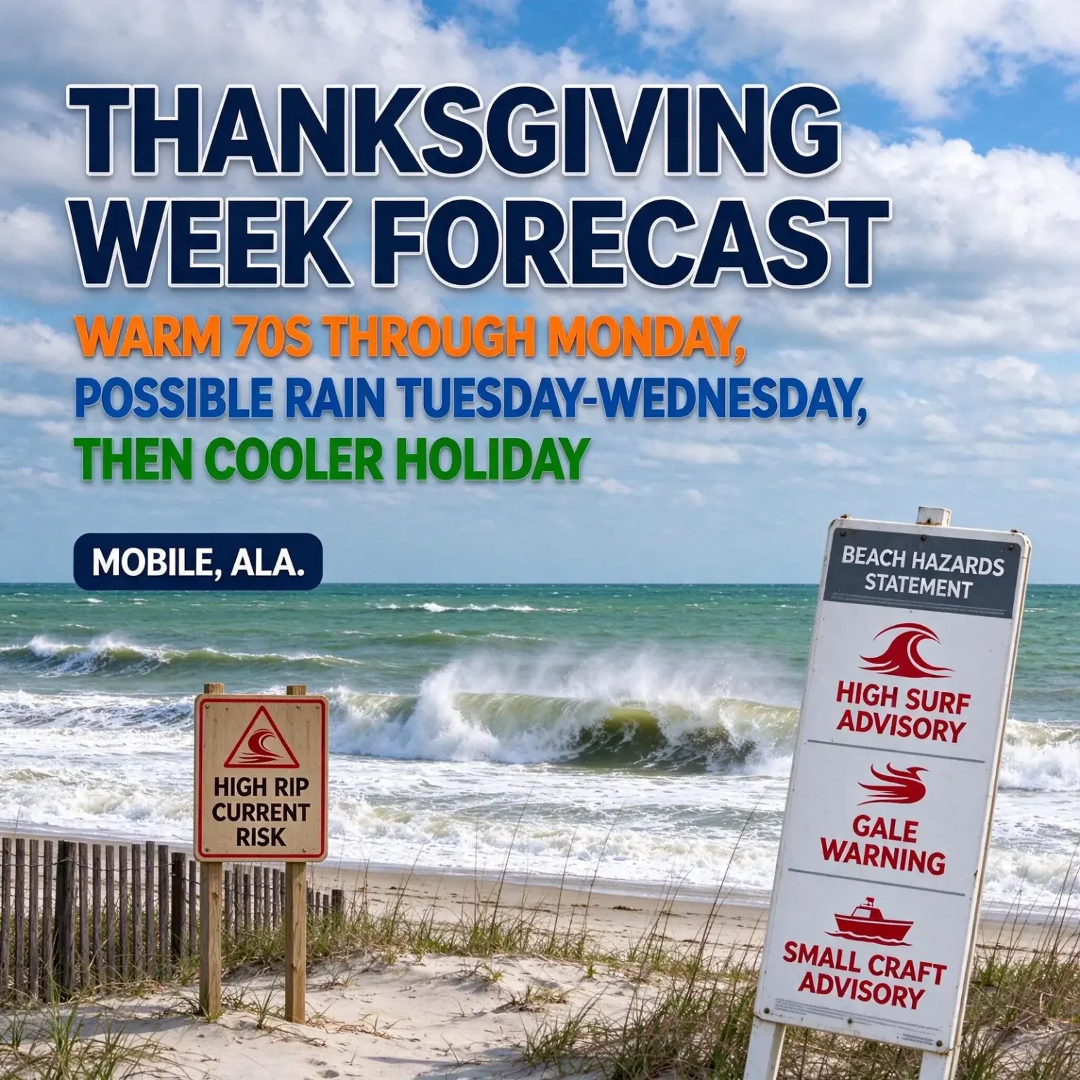
MOBILE, Ala. — Thanksgiving week along the central Gulf Coast is shaping up as a tale of two halves. Unusually warm, mostly dry weather is expected to linger from now through the weekend and into Monday, but forecasters are watching for a possible rain-maker on Tuesday or Wednesday, Nov. 24-25, followed by drier and noticeably cooler air for Thanksgiving Day on Thursday, Nov. 26, and for Black Friday.
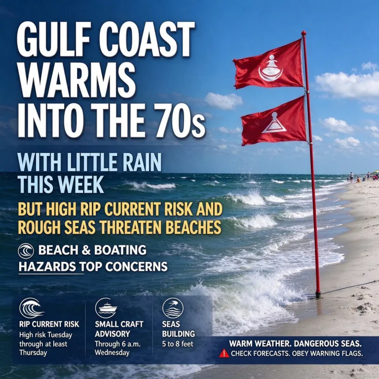
Before any of that, the most pressing concern is along the shoreline. Rough seas, a High Surf Advisory and a high risk of rip currents remain in place at the beaches, with offshore winds strong enough to prompt a Gale Warning for Gulf waters beyond the nearshore zone.
The Outlook at a Glance
- Wednesday, Nov. 18: A mix of clouds and sun, breezy; afternoon highs from about 70 into the mid-70s.
- Thursday and Friday, Nov. 19-20: More clouds than sun, with a few isolated showers, mainly near the coast; no soaking rain expected. Highs in the low 70s, lows in the mid-50s.
- Weekend through Monday, Nov. 21-23: Warmer than normal for late November, with highs in the mid- to upper 70s and only a stray shower possible.
- Tuesday and Wednesday, Nov. 24-25: A rain system could move through on one or both days.
- Thanksgiving Day and Black Friday, Nov. 26-27: Drier conditions on the holiday itself, with cooler temperatures for both days.
- Tropics: Quiet.
Dangerous Water at the Beaches
The warm afternoons may draw people to the sand, but the Gulf is anything but calm. Brisk winds over the open water are keeping the surf churned up, and rough conditions are expected to continue at least through Thursday.
Several marine and coastal alerts are in effect:
- Gale Warning (offshore waters): Winds of 20 to 30 knots, with gusts as high as 40 knots.
- Small Craft Advisory (nearshore waters): Winds of 15 to 25 knots, with gusts up to 30 knots.
- High Surf Advisory: Breaking waves of 5 to 6 feet along the coast.
- Rip currents: High risk.
Forecasters have said boating is not a good idea while these conditions last. Water temperatures have also cooled enough this time of year that most people are not likely to go swimming, which limits the number of people exposed to the rip current danger, but anyone who does wade in faces real risk.
What the marine alerts mean
The National Weather Service issues a Gale Warning when sustained winds or frequent gusts in the 34- to 47-knot range are occurring or expected over marine areas. A Small Craft Advisory is a lower-level alert, used when winds or seas are likely to be hazardous for smaller boats. A High Surf Advisory warns that waves breaking at the shoreline are large enough to knock people down, sweep them off jetties and piers, and create powerful currents.
For recreational boaters, the practical takeaway is simple: postpone trips into the Gulf until the seas settle. Anyone whose work requires going out should check the latest marine forecast before leaving the dock, make sure every person aboard has a properly fitting life jacket, carry a working marine radio and leave a float plan with someone on shore.
Rip current safety
Rip currents are narrow channels of water that move quickly away from the beach, and they can carry even strong swimmers out past the breaking waves in seconds. Water safety guidance from national agencies stresses a few key steps:
- Check the beach warning flags before going near the water. Red flags signal high hazard, and double red flags mean the water is closed to the public.
- If you are caught in a rip current, do not try to swim straight back to the beach against it.
- Swim parallel to the shoreline until you are free of the pull, then angle back toward land.
- If you cannot break free, float or tread water and call or wave for help.
- If someone else is in trouble, alert a lifeguard or call 911 instead of going in after them, and throw them something that floats if you can.
Midweek Into Friday: Mild, Mostly Gray
Wednesday brings a blend of clouds and breaks of sunshine, enough to push afternoon temperatures to around 70 degrees, with some spots reaching the mid-70s. The breeze will hang around, particularly near the water.
Thursday and Friday look similar, with clouds lingering more often than not. A few isolated showers could pop up on either day, mainly close to the coast, but forecasters are not expecting any significant rainfall. Afternoon readings should top out in the low 70s, while nights stay far milder than the recent cold mornings, with lows holding in the mid-50s.
A Warm Weekend Ahead
The above-normal temperatures are forecast to hold through the weekend and into early next week. Highs are expected to reach the mid-70s, with some readings climbing into the upper 70s heading into the weekend and on Sunday and Monday, Nov. 22-23. Morning lows will stay in the 50s.
That is well above typical late-November weather for the region and should make for pleasant conditions for weekend outdoor plans, holiday shopping trips, high school playoff football and yard work. An isolated shower cannot be ruled out on any given day, but most locations should stay dry.
Thanksgiving Week: Rain Chance, Then a Cooldown
The pattern is expected to turn more unsettled as the holiday approaches. The long-range forecast points to a rain system that could affect the area on Tuesday, Nov. 24, Wednesday, Nov. 25, or both days. Since those are two of the busiest travel days of the year, anyone planning to hit the road or catch a flight should keep an eye on later forecasts and build some extra time into their plans.
The good news is that Thanksgiving Day itself is expected to be drier, which should help anyone planning to gather outdoors, deep-fry a turkey in the backyard or take part in a holiday morning run or community event.
Cooler air is expected to settle in for both Thanksgiving and Black Friday, marking a return to more typical fall weather after the extended warm stretch. Families should plan to bring jackets for outdoor activities, early-morning shopping lines and evening gatherings.
Because this part of the outlook is still more than a week out, the timing of the rain and the exact temperatures are likely to change. Forecasters expect to refine the details as the holiday gets closer.
Planning Tips for the Holiday Week
If you are traveling
- Check the forecast for your route, not just your destination, before leaving on Tuesday or Wednesday.
- Slow down and increase following distance on wet roads. Rain after a long dry spell can leave pavement especially slick at first, as oil and grime on the surface mix with water.
- Turn on headlights when wipers are in use, as Alabama law requires.
- Never drive through water covering a roadway. Even shallow moving water can sweep a vehicle off the road.
- Air travelers should check flight status before heading to the airport, since storms anywhere along a route can cause delays.
If you are cooking outdoors
- Set up turkey fryers and grills on a flat surface well away from the house, garages, decks and overhanging trees.
- Fully thaw and dry a turkey before it goes into hot oil, and do not overfill the pot.
- Keep children and pets clear of the cooking area and keep a fire extinguisher rated for grease fires close by.
- Watch the wind. Even on a dry day, gusts can blow sparks or flames in unexpected directions.
If you are heading to the coast
- Expect the surf to remain rough at least through Thursday, Nov. 19, and pay attention to posted beach flags through the holiday period.
- Recheck marine forecasts before any fishing or boating trip planned for the long weekend.
Quick Takeaways
- Mild to warm weather continues through Monday, with highs in the 70s and lows in the 50s.
- Only isolated showers are expected through the weekend; no significant rain is in the forecast.
- A Gale Warning offshore, a Small Craft Advisory nearshore, a High Surf Advisory with 5- to 6-foot breakers and a high rip current risk are in effect, with rough surf at least through Thursday.
- A rain system may arrive Tuesday and/or Wednesday of Thanksgiving week.
- Thanksgiving Day looks drier, and cooler temperatures are expected for the holiday and Black Friday.
- The tropics are quiet.
Forecasts this far out often shift, so residents planning holiday travel or outdoor events should check updated forecasts in the days leading up to Thanksgiving.