Forecasters Keep Lowering the 2026 Hurricane Outlook — and the Alabama Coast Has Reason to Exhale
Colorado State University has again cut its 2026 Atlantic hurricane forecast, now calling for nine named storms and just one major hurricane, as a strengthening El Niño shears storms apart before they can organize.
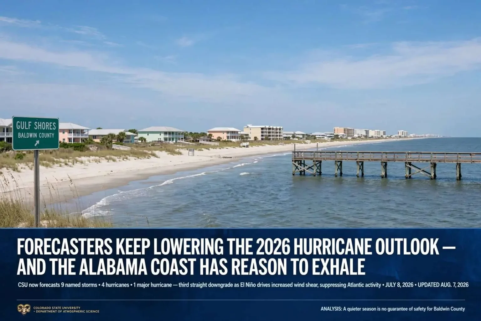
For a stretch of coastline that measures its history in storm names — Frederic, Ivan, Katrina, Sally — the 2026 hurricane season is shaping up to be the rarest kind of year: a quiet one. Colorado State University's Department of Atmospheric Science has lowered its forecast for the Atlantic hurricane season again, and researchers now expect one of the least active seasons in more than a decade.
The Numbers
The most recent forecast, released July 8, 2026, calls for:
- Nine named storms
- Four hurricanes
- One major hurricane (Category 3 or stronger, with winds of at least 111 mph)
Those figures sit well below the 1991–2020 average of roughly 14 named storms, seven hurricanes and three major hurricanes. They also represent the third straight downgrade from CSU this year. In April, the team predicted 13 named storms and six hurricanes. In June, that was cut to 11 named storms and five hurricanes. July's update trims the numbers again. CSU plans another seasonal update in early August if conditions shift.
CSU has issued seasonal Atlantic hurricane forecasts since 1984, when the late atmospheric scientist William Gray pioneered the practice. The forecasts are now led by research scientist Phil Klotzbach, and they rely on statistical and dynamical models that weigh conditions such as Atlantic sea surface temperatures and the state of the El Niño–Southern Oscillation.
Why: El Niño Is Doing the Work
The driver behind the downgrades is the emergence and strengthening of El Niño in the tropical Pacific — and understanding why a warming of the Pacific quiets the Atlantic is worth a moment. El Niño functions as a thermostat for the global atmosphere. When the eastern Pacific warms, it alters circulation patterns thousands of miles away. Over the Atlantic basin, the result is a sharp increase in vertical wind shear — a change in wind speed or direction with height.
Wind shear is lethal to tropical cyclones. A hurricane needs a vertically stacked, organized column of rotating thunderstorms to intensify. Strong shear tilts and tears that column apart, effectively shredding developing storms before they can organize or strengthen. Storms that might otherwise have become hurricanes instead fizzle into disorganized clusters of rain.
The Caveat Every Coastal Resident Should Understand
A below-normal season is a statement about how many storms form basin-wide. It says nothing whatsoever about whether one of them hits Baldwin County. This distinction is not academic.
Hurricane Andrew struck in 1992 — a season with only seven named storms, one of the quietest on record. It flattened parts of South Florida as a Category 5. A quiet season needs only one storm to find your beach for it to become, for you, the worst season of your life. Seasonal forecasts are a planning tool for insurers, emergency managers and the energy sector. They are not a forecast of your risk at your address.
The Historical Record on the Alabama Coast
Gulf Shores is brushed or hit by a tropical system, on average, roughly every 2.3 years. Direct hurricane strikes — hurricane-force winds sustained for hours — are considerably rarer, but the memory of the ones that came is long here. Frederic in 1979 rewrote the map of Baldwin County. Ivan in 2004 devastated Orange Beach and Gulf Shores and reshaped the local construction code. Sally in 2020 was, by seasonal-forecast standards, a modest storm — and it still stalled over the coast, dumped catastrophic rainfall and tore apart the Three Mile Bridge. Sally is the cautionary tale that belongs in every conversation about a quiet season. It was not a monster on paper. It was a monster here.
What to Actually Do With This Forecast
The season runs through November 30, and the historical peak — mid-August through late October — is still ahead. A lowered forecast is a reason for cautious optimism, not for dismantling a hurricane plan. Coastal residents should still know their evacuation zone, keep supplies for several days without power, review insurance coverage before a named storm enters the Gulf (most policies impose a binding moratorium once a storm is named), and photograph their property now for potential claims later. The forecast has improved. The preparation should not change.
Update (Aug. 7, 2026): Colorado State University's newest seasonal outlook has kept those same numbers in place, still calling for nine named storms, four hurricanes and one major hurricane this season. Forecasters say the atmospheric pattern behind the below-average outlook, driven largely by El Niño-related wind shear over the Atlantic, remains unchanged since the last update. The climatological peak of hurricane season falls on Sept. 10, with August through early October typically the most active stretch, so forecasters continue to urge coastal residents not to let a quieter outlook create a false sense of security — it only takes one storm to have a major impact.