

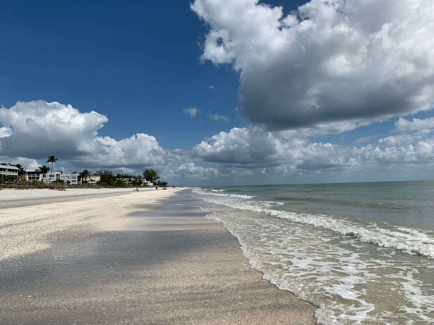
The Gulf Coast is enjoying a brief break from oppressive summer heat before sliding back into its standard August rhythm. A refreshing, lower-humidity breeze is expected to dominate through Tuesday, keeping storm chances low, before the familiar, heavy summertime air returns by midweek.
The reprieve comes courtesy of a drier air mass sliding over the region, a pattern that temporarily pushes the deep tropical moisture typical of an Alabama August out of the picture. Residents waking to mornings that feel almost autumnal have noticed the difference immediately — the humidity that usually makes a walk to the mailbox a workout has relaxed, and evening activities that would normally be miserable are suddenly pleasant. The change is temporary, but it is welcome while it lasts.
Tonight will be mostly clear, with lows dipping into the comfortable low-to-mid 70s inland while coastal areas hover in the upper 70s. Clear skies and a lighter moisture load allow temperatures to fall more freely after sunset than they do in the muggy pattern, which is why the overnight hours feel so much better even though the actual drop in daytime highs is modest. Coastal neighborhoods hold warmer overnight thanks to the moderating influence of the Gulf’s bathwater-warm late-summer waters.
A Dry, Sunny Stretch Midweek
Tuesday and Wednesday should bring abundant sunshine, with only quick-hitting afternoon showers possible. Most of the region will stay entirely dry, offering a good window for outdoor chores or recreation. Lawn work, car washing, roof repairs, and the other outdoor tasks that stack up during a rainy stretch all get their chance, and youth sports practices and outdoor workers alike get a break from the daily dance around pop-up storms.
The isolated showers that do develop should be short-lived and hit-or-miss, the kind of brief downpour that ends as quickly as it begins and leaves behind steam rather than a cool-down. With limited moisture to work with, storms that form will struggle to organize or persist, a marked contrast to the heavy, flooding-prone downpours the Gulf Coast sees when the atmosphere is fully loaded with tropical moisture.
At the beach, there is a low risk of rip currents along Southwest Alabama and Florida Panhandle beaches through Friday. The calm stretch is good news for late-summer beachgoers, since rip current risk along the northern Gulf Coast typically rises whenever strong winds or long-period swells arrive, and neither is in the forecast during this quiet pattern. The beaches from Dauphin Island through Gulf Shores and Orange Beach and across the state line into the Panhandle should offer largely favorable swimming conditions through the workweek.
Even in a low-risk pattern, the standard beach safety rules still apply. Rip currents remain the most frequent weather-related hazard on Gulf beaches, and they can develop even on calm, sunny days, particularly near piers, jetties, and sandbar breaks. Swimmers who find themselves pulled away from shore are reminded to stay calm, float, and swim parallel to the beach until free of the current rather than fighting it head-on, and to swim near a lifeguard where one is posted.
The Heat Returns by Thursday
By Thursday, summer’s sticky air is expected to settle back over the Gulf Coast. Afternoon highs are forecast to jump into the lower 90s, triggering scattered, pop-up thunderstorms, and heat index values could soar past the 100-degree mark.
The returning pattern is the familiar August setup: Gulf moisture streams back over the region, afternoon heating builds towering thunderheads over the inland areas by mid-to-late afternoon, and the combination of heat and humidity pushes the feels-like temperatures well above what the thermometer alone reads. Once the heat index climbs past 100 degrees, the National Weather Service’s heat safety guidance becomes directly relevant, particularly for outdoor workers, athletes, and anyone without reliable air conditioning.
Anyone spending extended time outdoors is urged to stay hydrated, seek shade and take breaks indoors during peak afternoon heat. Health officials emphasize that heat illness builds gradually and is best prevented early: drink water before thirst sets in, wear light-colored and loose-fitting clothing, schedule strenuous activity for the early morning or evening hours, and check on elderly neighbors, young children, and pets, who are the most vulnerable when the heat index spikes. Never leave children or animals in a parked vehicle, where interior temperatures can become deadly within minutes even on a day when it does not feel exceptionally hot outdoors.
A Quiet Atlantic — For Now
The Atlantic Basin remains quiet for now. No tropical depressions, storms or hurricanes are projected to develop across the Atlantic, the Caribbean or the Gulf over the next seven days.
That calm is worth enjoying while it lasts, because late August sits at the doorstep of the most active stretch of the Atlantic hurricane season. Seasonal activity typically ramps up through the second half of August, peaks around mid-September, and remains elevated through October, driven by warm sea surface temperatures, reduced wind shear, and the parade of tropical waves rolling off West Africa. The Gulf of Mexico, in particular, is historically one of the more dangerous corners of the basin during this stretch, with some of the region’s most memorable hurricanes having made landfall in August and September.
For Gulf Coast residents, the quiet seven-day outlook is not a reason for complacency but a reminder of where the calendar stands. Emergency managers in coastal Alabama traditionally use quiet stretches like this one to encourage households to review their hurricane plans: checking supplies, confirming evacuation routes, reviewing insurance documentation, and signing up for local alert systems. Once a storm enters the Gulf, the time for those preparations is essentially gone, so the window matters.
The local pattern also reflects the bigger picture. A quiet basin often goes hand in hand with the same dry, stable air that is currently delivering the region’s pleasant stretch, and the relief felt on land and the silence in the tropics are two sides of the same atmospheric coin.
What to Watch Heading Into the Weekend
Looking ahead, forecasters will be watching how quickly the moisture returns and whether the midweek calm gives way to a more typical stormy late-August pattern over the weekend. For now, the practical guidance for residents is simple: enjoy the dry, less-humid days while they last, use the break to catch up on outdoor work, keep the usual beach precautions in mind, and start thinking ahead to the height of hurricane season as September approaches.
The transition back to the summer pattern should be gradual rather than abrupt, which gives residents a little time to adjust. The first noticeably muggier day will likely arrive before the storms do, as southerly winds off the Gulf re-establish the moisture supply, and the afternoon thunderstorms typically take a day or two beyond that to regain their organization. Workers with outdoor schedules, coaches planning practices, and families arranging weekend activities would do well to plan around the afternoons and keep the mornings for anything demanding.
The region’s weather rarely stays quiet for long in August, and this week’s break from the heat is best treated as what it is — a brief, pleasant intermission before the deep South’s standard summer programming resumes.
Living With Gulf Coast August
For newcomers to the region, weeks like this one serve as a practical introduction to the rhythms of a Gulf Coast summer. The climate along the northern Gulf is defined less by extreme heat than by relentless humidity — afternoon highs in the low 90s are unremarkable by the standards of the desert Southwest, but the moisture load in the air makes those readings feel far heavier, and it keeps overnight temperatures elevated in a way few other parts of the country experience.
That humidity is the engine behind most of the region’s summer weather. The same moisture that makes a July afternoon oppressive also feeds the thunderstorms that provide much of the area’s rainfall, waters the lawns and crops, and fills the bayous and rivers that define the coastal landscape. A dry spell like the current one shows what the region looks like without that engine running — sunnier, calmer, and briefly less steamy, but also one step closer to the drought conditions that can creep in when the rain shuts off for too long.
The energy costs of an August pattern are familiar to every Gulf Coast household. Air conditioning runs nearly around the clock during the muggy stretch, and utility bills climb accordingly, so a few days of lower humidity and cooler evenings offer a small but noticeable break for both people and power grids. Hardware stores and garden centers typically see a bump in activity during dry windows as residents catch up on the outdoor projects the rainy pattern keeps interrupting.
As always along the Gulf Coast, the forecast will evolve, and residents are encouraged to keep an eye on updates as the weekend approaches — both for the return of the heat and the storms that come with it, and for any signs of change in the tropical Atlantic. For now, the message from the sky is simple: a brief, comfortable pause, and then summer resumes exactly where it left off.