MOBILE, Ala. — Fall-like weather is on the way back just in time for the weekend, with a cold front clearing the area and much cooler, drier air settling over the Gulf Coast.
Patchy fog, locally dense in spots, may linger through the early morning before gradually improving. Low clouds will also be possible in some locations.
Today
With the front moving east and out of the area, cooler and drier air continues filtering into the region as high pressure builds in. Rain chances stay low, and temperatures will begin to reflect the change.
Saturday
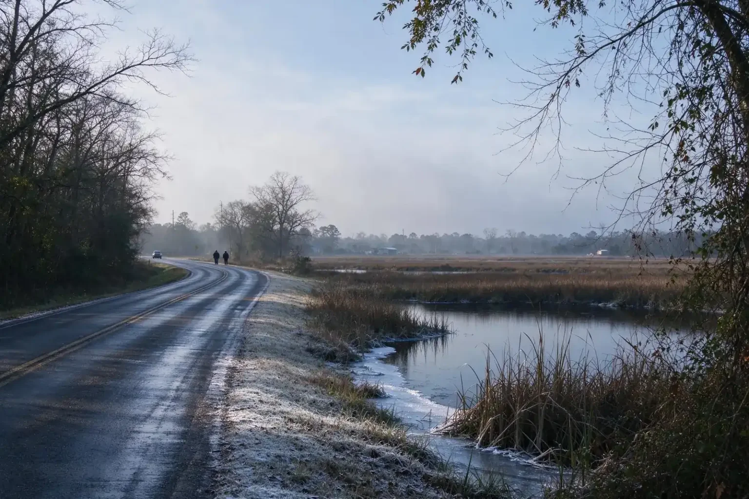
Cooler conditions continue. Overnight lows are expected to drop into the 30s across far northern and inland communities, and patchy frost will be possible in some areas.
Sunday
Afternoon highs will reach only the mid to upper 60s. Overnight temperatures will again fall into the 30s and 40s.
Monday and Tuesday
Pleasant, dry conditions continue, with highs in the upper 60s to around 70 degrees. Overnight lows will remain chilly, especially across inland areas.
What to keep in mind
People in far inland communities who still have tender outdoor plants may want to keep an eye on the forecast Saturday night, since frost is possible in some areas. Anyone driving early in the morning should allow for fog, which can reduce visibility, particularly where it is locally dense.
The dry stretch also comes as local authorities remind residents of burning restrictions in some parts of Mobile County following a woods fire on Rangeline Road this week.