Heat Advisory Kicks Off the Week for Mobile as Index Values Top 105 Degrees
A heat advisory kicked off the work week in Mobile, Alabama with heat index values reaching 105 to 109 degrees before rain chances return later in the week.
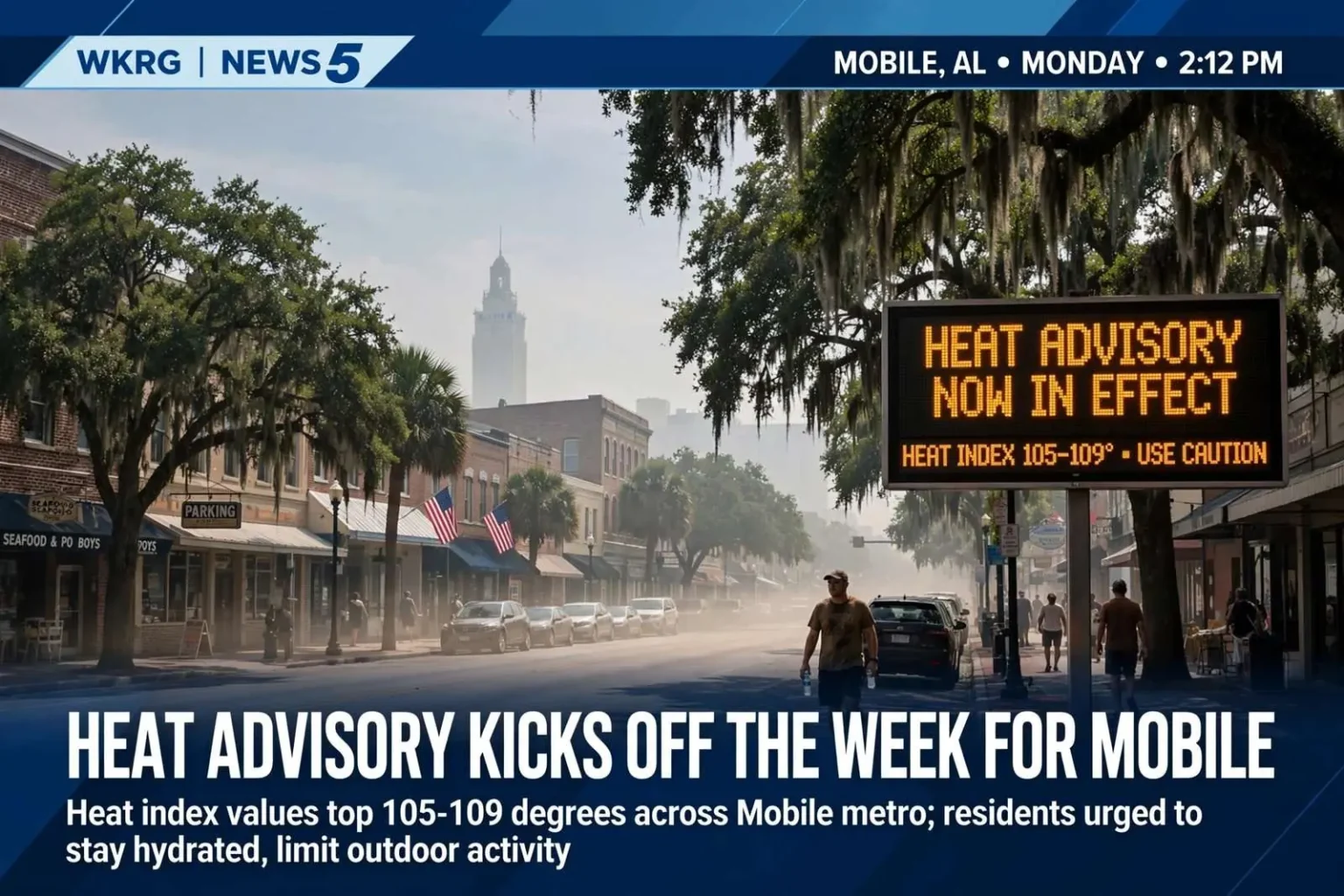
South Alabama opened the work week under a heat advisory as searing temperatures and oppressive humidity pushed the heat index well past the danger threshold across the Mobile area. Actual air temperatures were forecast to climb into the mid-90s, but with humidity factored in, the heat index was expected to range between 105 and 109 degrees — territory that weather officials treat as a genuine health threat rather than a matter of comfort. The advisory put the entire Mobile metropolitan area, along with neighboring communities across South Alabama and the central Gulf Coast, on notice that ordinary outdoor routines carried real risk for the next several days.
The combination that produced those numbers is a familiar one for the Gulf Coast in summer. Moisture streaming north from the Gulf of Mexico keeps dew points in the mid-70s or higher through much of the season, and when that deep humidity sits under a hot, largely rain-free air mass, the effective temperature the body has to fight rises dramatically. Forecasters with the National Weather Service office responsible for the Mobile area issue heat advisories when heat index values are expected to reach hazardous levels for a sustained period, precisely because the index — not the thermometer reading — determines how hard the human body has to work to stay cool.
Why the Heat Index Matters More Than the Thermometer
The heat index is a measure of how hot it actually feels when relative humidity is combined with the air temperature. The human body cools itself by sweating, and that cooling only works when sweat can evaporate. When the air is already saturated with moisture, evaporation slows to a crawl, the body’s natural air conditioning fails, and core temperature climbs even if a person is not exerting themselves. At heat index values above 105 degrees, heat cramps and heat exhaustion become likely with prolonged exposure, and heat stroke — a life-threatening emergency — becomes possible with continued exposure or physical activity.
That physiology is why advisories like this week’s are aimed at behavior as much as information. Forecasters urged residents to take precautions, including staying hydrated, limiting time outdoors during peak afternoon hours, and checking on elderly neighbors or anyone without reliable air conditioning. The guidance applies with particular force to outdoor workers — construction crews, roofers, landscapers and farm workers across Mobile and Baldwin counties — whose shifts overlap the worst hours of the day, and to athletes practicing in summer conditions where coaches are encouraged to build in frequent water breaks and shade.
Cars deserve special mention in every heat advisory, and this week was no exception. Interior temperatures in a parked vehicle can climb to lethal levels in a matter of minutes, even with the windows cracked, and children and pets left inside face danger faster than most people realize. Public safety agencies along the Gulf Coast repeat the warning every summer precisely because the failure mode never changes: a quick errand, a sleeping child in the back seat, and a heat index that turns a parked car into an oven.
No Quick End to the Dangerous Heat
The dangerously high heat index values were not expected to ease immediately. Similar conditions were forecast to persist into the following day, with the heat index again climbing into the advisory range, giving residents a second consecutive day of dangerous afternoon conditions. Multi-day heat events are harder on the body than single hot afternoons, because the overnight low matters: when temperatures and humidity stay elevated after sunset, homes without air conditioning never cool down, and the people most vulnerable to heat — the elderly, the chronically ill, those on certain medications — never get the overnight recovery that usually resets the risk.
Utility usage typically spikes during stretches like this one as air conditioners run continuously, and power providers across the region plan for those peaks. Residents can lower the strain and their bills by keeping blinds closed during the day, using fans to circulate cooled air, and limiting use of ovens and dryers during afternoon hours. Cooling centers and public buildings such as libraries offer relief for residents whose homes are difficult to keep comfortable, and community organizations in the Mobile area traditionally step up welfare checks on homebound neighbors when an advisory stretches past a day.
Some relief was on the way by midweek. Forecasters said the region would stay relatively dry for a couple more days, but tropical moisture was expected to move back into South Alabama later in the week. While no tropical development was anticipated, rounds of heavy rain were possible from Wednesday through Saturday. The pattern shift is a classic Gulf Coast transition: an upper-level change opens the door for deep Gulf moisture to return, and the same atmosphere that suppressed rain early in the week begins producing the heavy, drenching downpours that define summer in South Alabama.
The return of rain cuts both ways. It restores the afternoon thunderstorm rhythm that residents plan around, and it brings the flash flooding risk that comes with training storms — cells that repeatedly move over the same neighborhoods, dumping several inches of rain in a short time and overwhelming storm drains in low-lying areas. Motorists are reminded of the standing rule that applies every season: never drive through water covering a roadway, because depth is impossible to judge and flooded roads claim more vehicles and lives along the Gulf Coast than most other weather hazards combined.
Rain Brings the Temperatures Back Down
That rain was expected to help knock high temperatures back down into the 80s by the weekend. Cloud cover and rain-cooled air limit how high afternoon readings can climb, and a weekend spent in the mid-80s with regular storm activity feels dramatically different from a mid-90s afternoon under a full sun. For anyone who spent the early part of the week indoors waiting out the advisory, the weekend forecast offered the first genuinely comfortable outdoor conditions in several days.
The swing also illustrates how quickly Gulf Coast weather can turn. A heat advisory and a round of heavy thunderstorms can be separated by 48 hours in the same location, and residents who adjust their plans around one pattern need to be ready for the other. Summer rain on the coast typically arrives in scattered bursts rather than all-day washouts, which means outdoor activities remain possible through the weekend with an eye on the sky and a plan for where to shelter when lightning moves in. The 30-30 lightning rule — leave the water and seek shelter when thunder follows lightning within 30 seconds, then wait 30 minutes after the last rumble — remains the standard for beaches, ball fields and boat ramps across the region.
Beach and Boating Conditions Stay Favorable
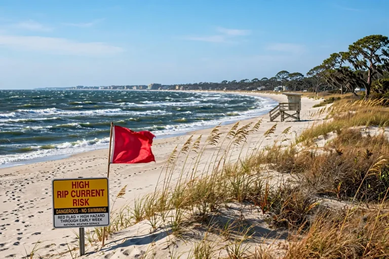
Conditions along the coast remained favorable for beachgoers and boaters despite the heat. Rip current risk was rated low, with yellow flags flying at area beaches, a signal that swimmers should exercise moderate caution even though no significant hazard was expected. The flag system used at Gulf Coast beaches runs from double red — water closed — through red, yellow and green, and the yellow flag is the steady middle ground of Gulf Coast beach days: conditions are generally safe, but currents and weather can change, and swimmers should stay near lifeguards and within their abilities.
Boaters could expect light winds and seas generally under 2 feet, conditions well suited for the bay boats, pontoon craft and offshore runs that define summer on Mobile Bay and the Intracoastal Waterway. Light wind days are among the busiest on the water, and the usual reminders apply: life jackets worn rather than stowed, a sober operator at the helm, and a float plan shared with someone ashore. The same heat that drove the advisory on land builds afternoon sea breezes and isolated storms over the water, so boaters planning long days were advised to watch the western horizon as the afternoon wore on.
Forecasters still recommended sunscreen and plenty of water for anyone spending extended time outside, whether on the sand or on the water. The sunburn caution is more than cosmetic — burned skin loses its ability to regulate temperature, which accelerates the onset of heat illness — and dehydration compounds quietly, arriving as fatigue and headache long before thirst becomes urgent. A day in the mid-90s with a heat index well above 100 draws moisture out of the body faster than most people replace it, even sitting still under an umbrella.
Residents were encouraged to monitor local forecasts and alerts throughout the week as the heat advisory played out and rain chances returned to the Gulf Coast. Summer weather along the central Gulf Coast changes in days rather than weeks, and the transition from a dry, dangerous heat pattern to a wetter, stormier one is exactly the kind of shift where watches and advisories get upgraded, expanded or dropped on short notice. Local radio, television, weather radio and official social media channels are the fastest ways to track those changes, and NOAA weather radio remains the most reliable alert source during overnight hours when heavy rain is falling.
A Week That Captured a Gulf Coast Summer
Taken together, the week’s forecast read like a compressed profile of a South Alabama summer. It opened with the region’s most persistent warm-season hazard — the combination of heat and humidity that makes August afternoons dangerous even in the absence of storms — and closed with the region’s other warm-season signature, rounds of heavy tropical rain that drop temperatures while raising flood concerns. Neither threat is dramatic in the way a hurricane is dramatic, but both send people to emergency rooms and damage property every year, and both reward the same habits: attention to the forecast, caution during the worst hours, and patience with a pattern that rarely changes quickly.
The heat advisory also served as an early-week reminder of the region’s exposure to its own climate. Mobile’s location near the head of Mobile Bay, surrounded by water on three sides and fed by Gulf moisture through the entire warm season, makes it one of the more humid cities in the country during summer, and the heat index regularly outpaces the actual temperature by 10 degrees or more. For newcomers to the Gulf Coast, the first serious heat advisory is often a lesson in the difference between Southern summer as imagined — hot but manageable — and as lived, where outdoor chores get pushed to dawn, midday errands are scheduled between air-conditioned stops, and the afternoon storm cycle becomes something to work around rather than an inconvenience.
For the businesses that depend on the coast — the beach vendors, charter captains, marinas and restaurants that make up the tourism economy from Dauphin Island to the Baldwin County beaches — a week like this one is a balancing act. Dangerous heat trims the midday crowd and shifts activity toward mornings and evenings, but low rip current risk and calm seas keep the boats running and the beaches open, which is more than many summer weeks can say. The return of afternoon rain by the weekend promised the usual trade: brief, heavy storms to dodge in exchange for cooler evenings and a break from the heat that made the first half of the week so punishing.
The week ended where South Alabama summers usually do, with residents watching the western sky in the afternoon and checking the forecast before morning. The heat advisory would expire, the rain would move through, and the pattern would reset — until the next ridge of high pressure builds overhead and the cycle begins again.