

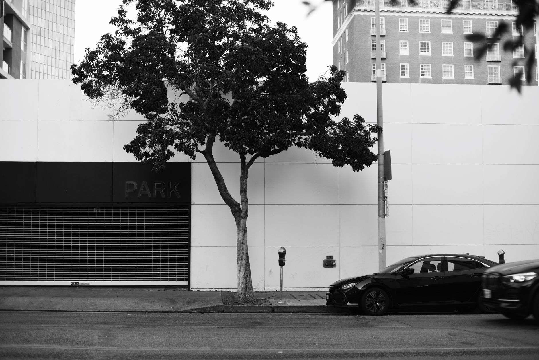
The City of Mobile has launched an interactive online parking map for downtown, an attempt to answer one of the most common complaints about a district that has added restaurants, offices, apartments and events faster than it has added obvious places to leave a car.
The tool was built in-house by the city’s Geographic Information Systems department. It maps nearly 2,000 marked on-street parking spaces inside the Hank Aaron Loop, along with seven public parking garages and 57 public surface lots. It is available through the City of Mobile’s website in both a standard desktop format and a mobile-friendly version built to be used from a phone while already downtown.
What the Map Actually Shows
The map is color-coded, which is the feature that does most of the work. Rather than presenting a list of addresses, it renders the curb itself, distinguishing between categories of space that a driver otherwise has to sort out by reading signage at the moment of parking.
- Marked on-street spaces — roughly 2,000 of them — within the Hank Aaron Loop
- Seven public parking garages
- 57 public surface lots
- Metered versus non-metered on-street spaces
- Electric vehicle charging stations
- Bus zones
- Fire lanes
- Loading zones
The tool also includes a radius search. A user can drop a point on a destination — a theater, a restaurant, an office building, a parade route — and see the parking options within a set distance of it, rather than scanning the whole downtown grid and guessing at walking distance.
That is a meaningful distinction for anyone who has circled a block. The practical question downtown is almost never “is there parking in Mobile.” It is “is there parking I can legally use, within a few minutes’ walk of where I am going, at the hour I am going there.” A color-coded map with a radius tool answers that question in a way a sign on a pole cannot.
What GIS Is, and Why the City Built This Itself
Geographic Information Systems is the technology municipalities use to attach information to location. A GIS is not simply a picture of a map; it is a database in which every feature — a parking space, a fire hydrant, a storm drain, a parcel boundary, a zoning designation — is a record with coordinates and attributes attached to it.
That structure is what makes a tool like the parking map possible. Because each space is a record rather than a drawing, it can carry attributes such as metered or unmetered, loading zone, accessible, or EV charging, and those attributes can be filtered, searched and color-coded on the fly. It also means the map can be updated as conditions change, rather than being reprinted.
Mobile’s GIS department, based on Church Street downtown, produces maps and web mapping applications for other city departments and for the public. Publishing a parking map is a natural extension of data the city already had to maintain anyway: a city that meters curb space, stripes it and enforces it necessarily knows where those spaces are. The new map takes an internal asset inventory and turns it into a public wayfinding tool.
It is not the city’s first move in this direction. In August, the City of Mobile and the Mobile Arts Council launched an interactive map of downtown public art, and Visit Mobile installed interactive kiosks downtown the same month. The parking map follows the same logic — putting municipal data in front of the people who need it at the moment they need it.
The Hank Aaron Loop
The boundary the map uses is not arbitrary. The Hank Aaron Loop is the ring of streets that encircles the downtown core, named in honor of the Mobile-born Hall of Famer who grew up in the city’s Toulminville neighborhood before becoming baseball’s home run king.
The loop functions as a practical definition of downtown: what is inside it is the walkable central business district, and what is outside it is served by other streets and other travel patterns. Using the loop as the map’s frame tells a driver something useful before they read a single label — that if they can get inside the ring and park, they can walk to their destination.
That is also why the on-street count matters. Nearly 2,000 marked spaces inside the loop is a substantial supply. The recurring downtown parking complaint is generally not a shortage of spaces in aggregate; it is a distribution and information problem, in which drivers converge on the same three blocks because those are the blocks they know.
A Downtown That Has Outgrown Its Wayfinding
Downtown Mobile has changed considerably in a short period, and the parking map is partly a response to that.
The Downtown Mobile Alliance marked 20 years this month with a new brand. The city is midway through a “Complete Streets” reconstruction of St. Louis Street, has a $1 million sidewalk overhaul starting on Church Street, and is seeking public input on an update to the Downtown Development District code. Mobile is drawing up plans for a covered Amtrak station downtown, and there is an active push to open a combined downtown transit and Amtrak terminal. An owner has sought rezoning to replace a closed downtown motel with a hotel, housing and retail.
The event calendar has grown alongside the construction. Downtown Mobile Restaurant Week runs Sept. 17-24. Mobtown Mural Fest took over blocks of downtown this month. Mobile Tiki Week drew visitors to 43 venues in August.
Each of those is a reason for someone who does not park downtown regularly to try to park downtown. Those are precisely the drivers a map helps most: not the office worker with a monthly garage space, but the visitor from Semmes or Daphne or Pascagoula who is coming in for one dinner and does not know which lots are public.
Mardi Gras, Event Nights and the Case for a Map
The clearest test of any downtown parking tool in Mobile is Mardi Gras.
Mobile is the birthplace of Mardi Gras in the United States, with a carnival tradition reaching back to the French colonial period and organized parading societies dating to the 19th century. For several weeks each winter, parades close streets on a rolling schedule, barricades appear and disappear, and the city’s population downtown swells far beyond anything an ordinary weeknight produces.
Parade season is exactly the circumstance in which static knowledge fails. Regular parkers find their usual block inside a closure. Visitors arrive with no baseline at all. A map that distinguishes garages from surface lots from metered curb, and that can be queried by radius from a destination, is far more useful in that environment than a list.
The same applies to a concert at the Saenger, a festival, a convention or a downtown restaurant week. Event-night parking is where wayfinding either works or visibly does not.
Parking and the Transit Question
The map arrives two weeks before a significant change in how people move around downtown Mobile. The city has set Sept. 28 as the launch date for Second Line Transit, the rebranded system replacing the WAVE, with the first trolley-style vehicle already delivered.
The city has been building toward that launch for months: a $231,000 contract to wrap 62 vehicles, an application for a $1.36 million federal grant for five more trolley-style buses, and a mayoral proposal that could eventually replace the entire city bus fleet with trolley replicas.
Parking and transit are two halves of the same downtown access question. The more reliably a visitor can find a legal space — or can decide, based on what the map shows, to park once and walk or ride instead of moving the car between stops — the better both systems perform. A driver who knows where the garages are is a driver who is not circling, and circling traffic is a measurable share of downtown congestion in most cities.
How to Use It
The map is available through the City of Mobile’s website. Because it runs in a browser in both desktop and mobile-friendly versions, there is nothing to download and no account to create; a driver can pull it up at home while planning a trip or on a phone from behind the wheel of a parked car.
A few practical notes apply regardless of what the map shows. Posted signage and pavement markings remain the controlling authority at any given space, and temporary restrictions for construction, film production, special events and parade routes will not always be reflected in real time. Metered spaces have enforcement hours, and the map identifies which spaces are metered rather than setting the rate or the hours. Fire lanes and bus zones displayed on the map are shown so drivers avoid them, not so they can be used at off hours.
For downtown Mobile — a district adding residents, restaurants, offices and events, and about to change how its buses look and operate — a public, searchable inventory of where the parking actually is amounts to a small piece of infrastructure in its own right.