Cheriogotis Wants Water Street Rebuilt: ‘Without Fear of Being Run Over and Squashed Like a Bug’
At a planning session on Mobile's Downtown Development District code, Mayor Spiro Cheriogotis said he intends to permanently change Water Street, drew inspiration from Malaga and Chattanooga, and said waterfront south of the new bridge landing is ripe for redevelopment.
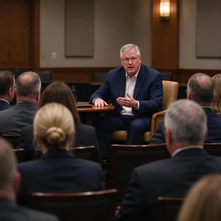
MOBILE — During a recent planning session for Mobile’s Downtown Development District code, Mayor Spiro Cheriogotis laid out something broader than a zoning discussion: a vision for the city’s waterfront, and a commitment to rebuild the street that currently separates downtown from the water.
Cheriogotis said he wants the waterfront better connected to downtown. He said he has visited several cities with strong waterfront access, and that development plans are underway for the area north of the convention center.
He was blunt about Water Street.
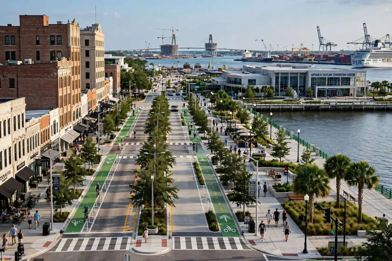
“I intend to change what everyone sees when they look at Water Street permanently,” Cheriogotis said. “There’s no need for Water Street to be an interstate connector. I think it needs to be an inviting, walkable, pedestrian-friendly street that anybody, whether they’re from here or not, can walk up to it and think, ‘Oh, the water’s right over there. I’ll just walk over there,’ without fear of death, without fear of being run over and squashed like a bug.”
The Problem He Is Describing
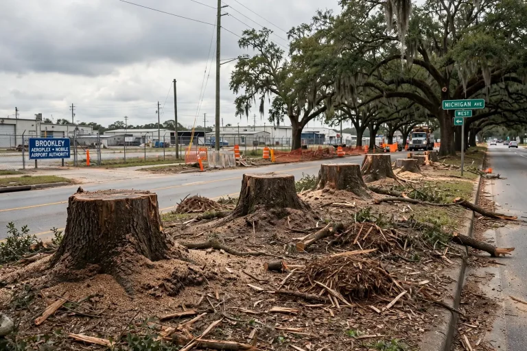
The complaint is not rhetorical. Water Street runs along the eastern edge of downtown Mobile, between the historic street grid and the river, and it functions as a high-speed connector feeding Interstate 10 and the tunnel. For a pedestrian standing at the edge of downtown, it is a wide, fast road standing between them and the waterfront that is visible on the other side.
This is one of the most common urban design problems in American cities, and Mobile has a textbook case of it. Mid-20th-century highway planning routed high-capacity roads along waterfronts, because waterfront land was industrial, cheap and politically easy to take. The result, repeated in city after city, was a downtown physically cut off from the water it was built on.
Cities that have addressed it have generally done so through some version of a road diet: reducing lane count, narrowing lane widths to lower speeds, adding signalized and marked crossings, introducing on-street parking and street trees as a buffer, and reallocating the recovered space to sidewalks, bike facilities and public realm.
The counterargument is always the same — that reducing capacity will create congestion. The evidence from cities that have done it is more mixed than that argument assumes, and it depends heavily on whether an alternative route exists for through traffic. Which, in Mobile’s case, is directly relevant to the bridge project now moving toward construction.
Malaga and Chattanooga
Asked what he is aiming at, the mayor named two models.
“They have an incredible waterfront,” Cheriogotis said of Malaga, Spain, Mobile’s sister city. “They have a working waterfront. It has a port. It has a cruise terminal, but it also has incredible park systems, walking paths, true amenities for the people, and it connects very well with their kind of center of town, downtown area and other shopping corridors, retail corridors. So, I take inspiration from a lot of places. I’d say Malaga might be my biggest.”
The Malaga comparison is more apt than a sister-city reference might suggest, and the reason is in the phrase “working waterfront.”
Many celebrated waterfront redevelopments involve a port that left. The industry moved out, the land was cleared, and a park went in. Mobile does not have that option and does not want it. The Port of Mobile is one of the region’s largest economic engines, it is actively expanding, and its container and bulk operations are not going anywhere. Any Mobile waterfront plan has to coexist with working maritime industry.
Malaga is a genuine example of a city that did exactly that — retaining commercial port and cruise operations while building public promenade, park and retail space alongside them. So is Chattanooga, the mayor’s other reference, which spent decades converting a neglected industrial riverfront into a continuous public space anchored by institutions, and which is frequently cited as the American model for a mid-sized city doing this well.
The Money Question
Cheriogotis said he hopes to receive a federal BUILD grant. He also said the project is happening either way.
“Water Street is something I’m committed to doing whether we find funding elsewhere or not,” Cheriogotis said. “I think it has to happen for the future of this city.”
Federal discretionary transportation grants of that type are the standard funding vehicle for exactly this kind of work — multimodal projects that reconnect neighborhoods severed by transportation infrastructure. They are competitive, awarded on application, and they favor projects with local funding commitments already in place, which is one practical reason a mayor states publicly that the city will proceed regardless.
What the Bridge Changes
The most consequential part of the mayor’s remarks may be what he said about land.
“When I look at where the bridge is going to land, I think there’s a lot of waterfront south of that bridge that I think it is inarguable that it’s not its highest and best use,” Cheriogotis said. “I think it’s ripe for redevelopment.”
“Highest and best use” is a term borrowed from real estate appraisal, where it refers to the legally permissible, physically possible and financially feasible use that produces the greatest value for a parcel. Applied to a stretch of urban waterfront, it is a polite way of saying the land is currently doing something less valuable than it could.
The timing is not coincidental. The I-10 Mobile River Bridge project is approaching a financing close in mid-September, with a groundbreaking expected before the end of the year. A new bridge alignment reshapes the value of everything around its landing — some parcels become more accessible and more visible, others fall into shadow, and the through-traffic function of existing streets changes when the interstate connection moves.
A city that waits until a bridge is finished to think about the land around it will find that decisions have been made for it. A city that plans while the bridge is being financed has considerably more leverage.
How This Connects to the Code Rewrite
The setting for these remarks matters. The mayor was speaking at a planning session on the Downtown Development District code — the zoning framework governing what can be built downtown and how.
This newsroom reported over the weekend on Cheriogotis’ framing of that rewrite, in which he argued the exercise is about protecting the character of a 300-plus-year-old city rather than slowing growth. The waterfront vision described here is the other half of the same project. A code rewrite determines what private development is permitted; a street redesign and waterfront plan determine what public investment enables.
Neither works without the other. Rebuilding Water Street as a walkable street without adjusting what can be built along it produces a nicer road with nothing on it. Rewriting the code without addressing the road leaves developable parcels cut off from downtown by six lanes of traffic.
What Has Not Been Released
Plans are not ready for public release. Cheriogotis said he expects to reveal more in the coming weeks.
The specifics that will matter when they arrive: how many lanes Water Street retains, where crossings go and how frequently, what happens to the land north of the convention center, whether the redevelopment south of the bridge landing involves city-owned property or private assembly, and what the funding stack looks like if the BUILD application is unsuccessful.
Until then, what exists is a stated intention, a named model and a commitment to proceed with or without federal help.
What ‘North of the Convention Center’ Refers To
The mayor said development plans are underway for the area north of the convention center, which is worth locating for readers who do not spend time downtown.
The Arthur R. Outlaw Convention Center sits on the Mobile River at the eastern edge of downtown, and the land around it is the seam where the city’s central business district meets its working waterfront. North of it lies the corridor running toward the cruise terminal and the port facilities beyond, a stretch that has been the subject of planning attention for years without a comprehensive redevelopment.
It is also, not incidentally, the area most affected by where the new Interstate 10 bridge comes down. A bridge landing reorganizes access, sight lines, noise and land values across everything near it, and parcels that are currently marginal because of how traffic moves today may not be marginal once traffic moves differently.
The Water Street Problem in Numbers
The design conversation about a street like Water Street usually turns on a small set of measurable variables, and it is worth knowing what they are.
Lane width. Wider lanes encourage higher speeds regardless of the posted limit. Narrowing lanes is among the cheapest available speed management tools, requiring only paint.
Crossing distance. The number of feet a pedestrian must cover between refuges determines both the actual and the perceived risk. Median refuge islands let a person cross one direction of traffic at a time.
Crossing frequency. A street with signalized crossings every few hundred feet functions very differently from one with crossings a quarter mile apart. People do not walk substantially out of their way; they cross where they are, which is how mid-block conflicts happen.
Signal timing. Pedestrian phases long enough for an older or slower-moving person to complete a crossing, and leading intervals that give walkers a head start before turning traffic gets a green.
Edge conditions. On-street parking, street trees and building frontage all provide the visual enclosure that signals to a driver they are on a city street rather than a highway.
None of that is exotic. It is the standard toolkit, and it is what “inviting, walkable, pedestrian-friendly” translates to in engineering terms.
The Sister City Connection
Cheriogotis named Malaga as his primary reference, and Mobile’s sister city relationship with the Spanish port city is the reason he has spent time there.
Sister city relationships are often ceremonial. This one has produced something more useful in this instance: a working example, visited firsthand by a mayor, of a mid-sized historic port city that kept its commercial waterfront while building public access alongside it. Malaga retains cargo operations and a cruise terminal while running promenades, parks and cultural institutions on the same waterfront, connected to a walkable historic center.
The parallels to Mobile are unusually close: comparable metropolitan scale, a deep historic core, an active port that is economically indispensable, and a downtown historically separated from its own water.
Chattanooga is the American comparison most often cited for this kind of work, and its riverfront transformation took decades and multiple funding cycles — a useful corrective to any expectation that a Water Street project is a two-year exercise.
What to Watch For
As plans move toward release in the coming weeks, several questions will determine how substantial the proposal actually is:
- Whether the Water Street redesign reduces through-capacity or simply adds sidewalk on the current footprint.
- Whether crossings are added at a spacing that reflects how people actually walk.
- How the plan sequences against the bridge construction schedule, since building both at once on the same corridor is a significant coordination problem.
- Whether redevelopment south of the bridge landing involves city-controlled land or requires assembling private parcels.
- What the funding plan is if the federal BUILD application is unsuccessful, given the mayor’s stated commitment to proceed either way.
Cheriogotis said he expects to be able to reveal more in the coming weeks.