Radar Outage Keeps Mobile, Gulf Coast Radar Images From Public as Weather Service Says Warnings Continue
A National Weather Service radar outage kept the public from seeing data from five Gulf Coast radar sites, including Mobile, over the weekend. Forecasters said warnings were not expected to be affected.
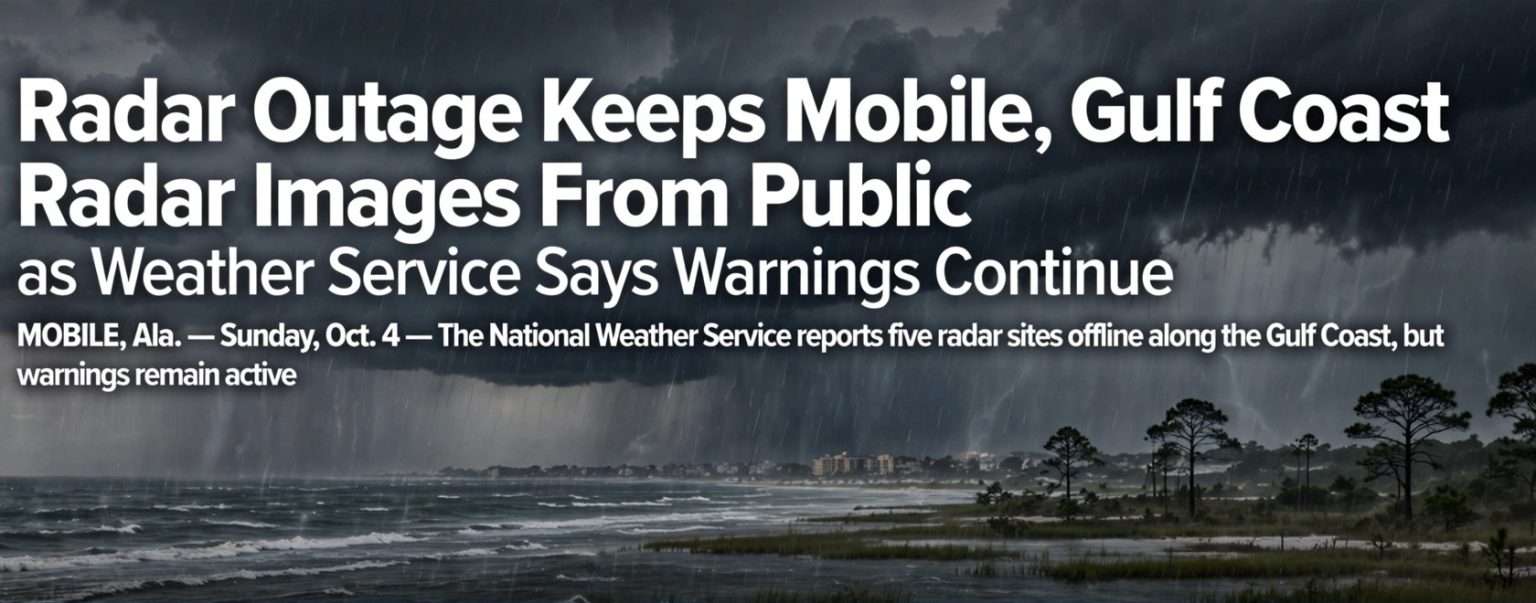
MOBILE, Ala. — The National Weather Service spent the weekend dealing with a radar outage along the Gulf Coast. As of Sunday night, Oct. 4, the public still could not see data from five radar sites, including the one in Mobile, and the problem had started Saturday.
The radars themselves kept working, and weather service forecasters could see the Mobile radar data internally. The trouble was getting that data out to the public, so many weather apps, websites and broadcasts in the region lost their usual radar view. It happened during a stormy weekend with flood watches, flash flood warnings and waterspouts near the coast.
The weather service said the outage was not expected to affect its watches and warnings. It urged people to keep following its updates in case flooding became a problem.
Which Radars Were Affected
As of Sunday night, the weather service listed these five sites as affected:
- KMOB in Mobile
- KEVX at Eglin Air Force Base in the Florida Panhandle
- KTLH in Tallahassee, Florida
- KEOX at Fort Rucker in southern Alabama
- KVAX at Moody Air Force Base in south Georgia
Two of the five are in Alabama. Within the state, the problem was limited to the southern part, and radars covering central and north Alabama were working normally.
Some NOAA Weather Radio transmitters were also affected, the weather service said. That matters because many households count on weather radio as a backup when other warning sources go down.
What Caused the Radar Outage and When It Will Be Fixed
The weather service did not publicly say what caused the outage. On Sunday evening, it said technicians had isolated the problem but had not yet fixed it.
In a Sunday afternoon update, the weather service said it had no estimated time for restoring service. It continued to post updates through the evening. Local meteorologists also told viewers and followers about the gap.
Later Sunday, the outage was described as a regional radar communications problem. It limited the high-resolution radar data available to the public and the media from several Southeast sites. Weather service meteorologists could still see much of the data internally, so they could keep tracking storms and warning people about hazards.
Why the Timing Was a Concern
The outage came during an active, rainy weekend in coastal Alabama and northwest Florida. Parts of the affected area were under flood watches Sunday. The Storm Prediction Center had a Level 1 of 5, or “marginal,” risk of isolated severe storms from the Florida Panhandle into parts of coastal Alabama.
The weather service issued several flash flood warnings Sunday in south Alabama, along with tornado warnings as waterspouts threatened to come ashore. Forecasters estimated that the heaviest storms were dropping 2 to 5 inches of rain per hour. On a day like that, many people check radar on their phones to see where the heaviest rain is and which way it is headed.
Even without the public radar images, forecasters kept issuing warnings. That is why officials stressed that the official warnings, not a radar picture, are what people should act on.
How NEXRAD Doppler Radar Works
The five radars belong to the national Next Generation Weather Radar network, called NEXRAD. Its radars are Weather Surveillance Radar-1988 Doppler units, or WSR-88D. The network has about 160 sites across the United States and its territories and is run jointly by the National Weather Service, the Federal Aviation Administration and the U.S. Air Force. That shared ownership is why some of the sites are on military bases such as Eglin, Moody and Fort Rucker.
The first operational WSR-88D was installed in Sterling, Virginia, in 1992, and the network was largely in place by 1997. Each radar sends out pulses of microwave energy and listens for the energy that bounces back off raindrops, hail and other targets. The strength of the return shows how hard it is raining. The Doppler shift, a change in frequency as targets move toward or away from the radar, lets forecasters measure wind inside a storm and spot the rotation that can lead to tornadoes.
From 2010 to 2013, the network was upgraded to dual-polarization technology. Dual-pol radars send pulses that are oriented both horizontally and vertically, which helps forecasters tell rain from hail and snow, estimate rainfall more accurately and, in some cases, spot debris thrown up by a tornado on the ground. The WSR-88D program is supported by the Radar Operations Center in Norman, Oklahoma.
The four-letter names come from aviation-style location identifiers. Radars in the contiguous United States start with “K,” so KMOB is the Mobile site and KTLH is the Tallahassee site.
Why Distant Radars Are Not a Perfect Substitute
When one radar goes down, people often switch to the nearest working one. That helps, but it has limits. A radar beam travels in a fairly straight line while the Earth curves away underneath it, so the farther a storm is from the radar, the higher up in the storm the beam is looking.
From a distant site, the beam can pass over the lowest part of a storm, where heavy rain is falling and where a waterspout or brief tornado would form. That is one reason local radar coverage matters so much near the coast.
How to Get Weather Warnings During a Radar Outage
The weather service said watches and warnings were not expected to be affected. These are some of the most reliable ways to get them:
Wireless Emergency Alerts
Most modern cell phones get Wireless Emergency Alerts automatically, without an app or sign-up. The alerts are based on the phone’s location, so they reach people wherever they are, including visitors from out of town. Make sure emergency alerts are turned on in your phone’s settings.
Not every weather alert goes to phones. Tornado warnings do. A Flash Flood Warning is sent to phones only when the weather service tags it with a “considerable” or “catastrophic” damage threat, and that tag is not used often. Many flash flood warnings, then, will not make your phone buzz, which is one more reason to have more than one way to get warnings.
You can also use free apps for alerts. The FEMA app, for example, can send National Weather Service alerts for several locations you choose, which helps if you want to follow conditions where relatives live.
NOAA Weather Radio, With a Caveat
NOAA Weather Radio All Hazards broadcasts forecasts and warnings around the clock from a national network of transmitters. Weather radios with Specific Area Message Encoding, or SAME, can be set to sound an alarm only for the counties you choose.
This weekend, the weather service said some NOAA Weather Radio locations were also affected. Keep your weather radio on, but don’t count on it alone until the weather service says everything is back to normal.
National Weather Service Mobile Online and on Social Media
The weather service office in Mobile posts forecasts, warnings and outage updates on its website at weather.gov/mob and on its social media accounts. The national alerts page at weather.gov lists every active watch and warning, and you can search it by location.
Local Broadcasters and Emergency Officials
Local TV and radio meteorologists pass along weather service warnings, and some of them were also warning the public about the outage this weekend. County emergency management agencies and city police and fire departments also post road closures and safety information during flooding.
Practical Tips Until Service Is Restored
- Act on warnings, not on how the radar looks. A gap in public radar does not mean a gap in warnings.
- Use at least two warning sources, such as phone alerts plus a weather radio or a local broadcast.
- Know which county you are in, especially if you are traveling, since warnings name counties and communities.
- Be careful with apps that show “live” radar, since some may display old, incomplete or distant-radar data during an outage.
- Never drive through flooded roads. The weather service’s message is “Turn around, don’t drown.”
What’s Next
As of Sunday night, technicians were still working on the outage and the weather service had not given a restoration time. Rounds of heavy rain were expected near the coast into early Monday, so residents should keep checking the weather service for updates on the outage and the flood threat.