Storm Prediction Center Issues Marginal Severe Weather Risk for West, South Alabama
NOAA's Storm Prediction Center placed west and south Alabama under a Level 1 marginal risk for severe weather Tuesday, with isolated storms capable of 60 mph winds arriving alongside heat advisories and near-100-degree temperatures.
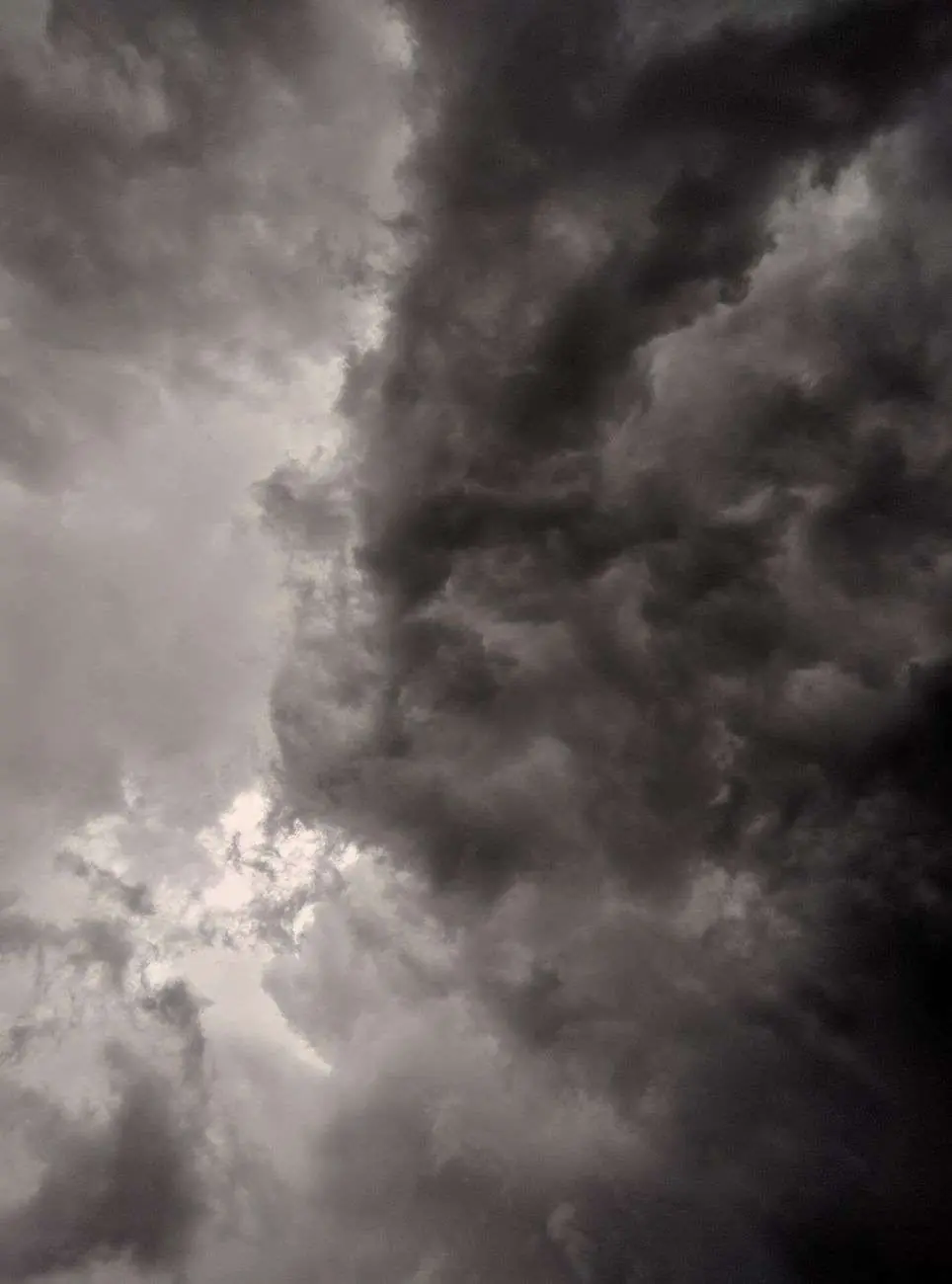
Parts of west and south Alabama faced the possibility of isolated severe thunderstorms Tuesday afternoon and evening, as the National Oceanic and Atmospheric Administration’s Storm Prediction Center placed the region under a Level 1 out of 5 “marginal” risk for severe weather. The designation covered the usual late-summer swath of the state — communities from the Mississippi line across the Black Belt and down toward the Gulf Coast — where afternoon heat and humidity supplied more than enough fuel for scattered storm development.
What a Level 1 Risk Means
A Level 1, or marginal, risk is the lowest rung on the Storm Prediction Center’s five-tier severe weather scale, which also includes slight, enhanced, moderate and high risk categories. For Tuesday, the designation meant isolated severe storms were possible, though not widespread or highly likely, across the affected areas. Forecasters said the strongest storms that did develop could produce winds as high as 60 mph along with heavy rainfall.
The five-category scale, introduced to make severe weather threats easier for the public to interpret, assigns colors and labels to the probability of damaging winds, large hail and tornadoes within roughly 25 miles of a point. A marginal risk typically implies storms affecting only a small fraction of the warned area — a handful of cells rather than a organized line — but the category is not a suggestion to ignore the sky. History across the Gulf Coast shows that some of the most disruptive wind damage has come from single storms on low-end risk days, when trees are stressed by drought-saturated or dry soil and no one is paying close attention.
Winds of 60 mph sit at the threshold where mature thunderstorms begin to break limbs, topple shallow-rooted trees and peel shingles, particularly in neighborhoods with mature oaks and pines — a defining feature of the south Alabama landscape. The same storms can drop rainfall rates of one to two inches per hour, briefly flooding low-lying intersections and poor-drainage spots that turn dangerous in even short downpours.
Forecasters Hold Off on a Watch
The Storm Prediction Center monitored storms developing over the state through the afternoon but said, as of Tuesday afternoon, that a severe thunderstorm watch was most likely not going to be needed. A small number of severe storms remained possible into the evening across south and west Alabama, with forecasters noting that the activity was sinking slowly to the south and was expected to lose strength later that night.
The watch decision reflects the tradeoffs forecasters weigh on marginal days. Severe thunderstorm watches alert counties to conditions favorable for organized severe weather, but issuing them for isolated, short-lived cells can dull the public’s attention for the days when a watch truly matters. Instead, residents on Tuesday were dependent on individual warnings — issued cell by cell when a storm actually reaches severe thresholds — to flag the handful of storms worth taking seriously.
The southward drift of the activity was a familiar late-summer signature. Storms that fire along the daytime heating over interior Alabama tend to push toward the coast as evening approaches, carried by the prevailing flow, sometimes reaching the immediate Gulf Coast after dark when few people are watching the sky. Forecasters expected any remaining storms to weaken as they lost the daytime heating that had powered them, though gusty outflow boundaries can linger well after the parent storms decay.
Heat Advisories Added to the Mix
The severe weather threat arrived alongside another round of dangerous summer heat. Many of the same west and south Alabama counties under the marginal severe weather risk were also placed under heat advisories for the day, with the National Weather Service forecasting temperatures could again peak near 100 degrees.
The same heat that drives people indoors is the engine behind the storms. Hot, humid afternoons load the atmosphere with instability, and that relationship between the two hazards is why the same counties can sit under a heat advisory and a severe weather risk on the same day. The sun that pushes heat indexes into dangerous territory by mid-afternoon is the same energy a passing storm converts into violent updrafts and damaging downdrafts by evening.
South Alabama’s late-summer stretch has been marked by exactly this pattern in recent weeks: hot, humid afternoons that build enough instability in the atmosphere for isolated thunderstorms to form, some of which can turn strong or severe before losing energy overnight.
The pattern is the classic summertime regime for the Gulf Coast, where the Bermuda high pumps Gulf moisture over the region and daily heating triggers scattered storms that recycle through the same neighborhoods day after day. Rainfall from such storms is welcome in a region that spends much of late summer tipping toward dryness, but the same storm that cools a neighborhood by ten degrees can also drop a tree across a road or knock out power to a subdivision. Residents learn to treat the afternoon sky with a certain respect without letting it run their schedules.
While Tuesday’s risk was rated marginal — the least severe classification the Storm Prediction Center issues — forecasters still urged residents in the affected areas to stay weather-aware through the evening hours.
Staying Prepared
Even at the lowest end of the severe weather scale, isolated storms capable of producing winds up to 60 mph can down tree limbs, cause brief power outages and create hazardous conditions for anyone caught outdoors. Residents in west and south Alabama were encouraged to keep an eye on local forecasts through the evening, move indoors if thunder was heard and use caution while driving in areas that could see sudden, heavy downpours.
The National Weather Service office responsible for south Alabama issues the warnings residents see on phones and television, and forecasters there remind the public that a marginal risk still warrants basic precautions: securing patio furniture and trash cans that can become wind-borne, charging phones in case of outages, and remembering that the slogan “turn around, don’t drown” exists because water-covered roads are far more dangerous than they look, especially at night. Boat traffic on Mobile Bay and the region’s rivers also faces hazards from sudden gusts and visibility-killing downpours.
For outdoor workers — a significant share of the workforce in construction, agriculture, shipping and the region’s shipyards and ports — the combination of heat advisory and storm risk compresses the safe working window. Employers are advised to schedule strenuous tasks for early morning, provide shade and water, and monitor radar as storms develop, since lightning can strike as far as ten miles from a storm’s core, outside the reach of any rain an outdoor crew may feel.
The Storm Prediction Center and National Weather Service continue to monitor conditions across the region as the summer season progresses, with both heat advisories and pop-up severe weather remaining a recurring feature of the forecast for south Alabama through the coming weeks.
The back-and-forth between heat and storms is expected to define the remainder of the season across the region. Climatologically, August and early September are the peak of both the heat-stress season and the pulse-type thunderstorm regime in south Alabama, long before the autumn fronts that eventually break the pattern arrive. The Gulf of Mexico, with sea surface temperatures at their warmest this time of year, supplies a nearly unlimited reservoir of moisture, and every day of strong sun resets the atmosphere for the next round of afternoon storms.
The Bigger Picture on Severe Weather
Days like Tuesday are a useful reminder of how severe weather messaging works. The Storm Prediction Center’s outlooks are issued on a rolling schedule — with updates through the day as conditions evolve — and they describe probabilities, not certainties. A marginal risk day can pass with nothing more than a few garden-variety showers, or it can produce one rogue storm that accounts for the entire day’s damage report. Both outcomes are consistent with the category, which is why meteorologists emphasize that the scale describes coverage, not intensity: the storms that do form on a marginal day can still be genuinely severe.
That nuance matters for a public that sometimes reads the green shading on an outlook map as an all-clear. Emergency managers across south Alabama have long promoted the opposite habit — treating every thunderstorm as capable of producing danger, and letting watches and warnings refine rather than replace that baseline caution. The region’s experience with hurricanes also shapes its weather culture; residents who ride out tropical systems tend to take straight-line wind threats seriously, having seen what sustained and gusty winds can do to trees and power lines.
Utilities, meanwhile, watch marginal risk days closely for the strain isolated storms can place on the grid. A single severe cell knocking out a feeder line can leave hundreds of customers without power during a heat advisory — the worst possible combination, since outages remove air conditioning exactly when heat indexes are most dangerous. Crews restore service faster when residents have reported outages and cleared the way for line workers, another reason forecasters ask the public to stay attentive even on quiet-looking days.
For now, the advice from forecasters remains unchanged as the pattern continues: respect the heat, keep an eye on the afternoon sky, and remember that in south Alabama in late summer, the most impactful weather of the day often arrives with little fanfare between lunch and suppertime.