Gulf Coast Weather: Heat Wave Finally Eases as a Hot, Stormy Pattern Settles In
The intense August heat wave gripping the Gulf Coast is finally easing, but forecasters say a hot, humid and stormy pattern with daily afternoon thunderstorms will settle over South Alabama this week.
MOBILE, Ala. — After weeks of oppressive heat, the Gulf Coast is getting a modest break — though not before an unsettled, storm-filled stretch works through the region. Forecasters say the stubborn heat dome that has baked South Alabama for much of August is slowly loosening its grip, while a hot and humid pattern featuring repeated rounds of afternoon thunderstorms sets up across the coast this week.
The heat wave begins to break
The intense August heat that gripped Gulf Shores and much of the coast is finally showing signs of winding down. After stretches of highs in the mid-90s, temperatures are forecast to trend gradually lower — dropping below the 90-degree mark to around 89 degrees on Tuesday and easing toward 85 by Friday.
The relief comes as a massive, stubborn atmospheric pattern known as a “heat dome” slowly begins to relax. That high-pressure system trapped scorching air and thick humidity over the southern and southeastern United States for much of the month, sending temperatures into the 90s and triple digits with heat-index values regularly topping 105 to 110 degrees. The dome is expected to linger over the southern U.S. through the end of August before deamplifying as the region eases into September.
Hot, humid and stormy this week
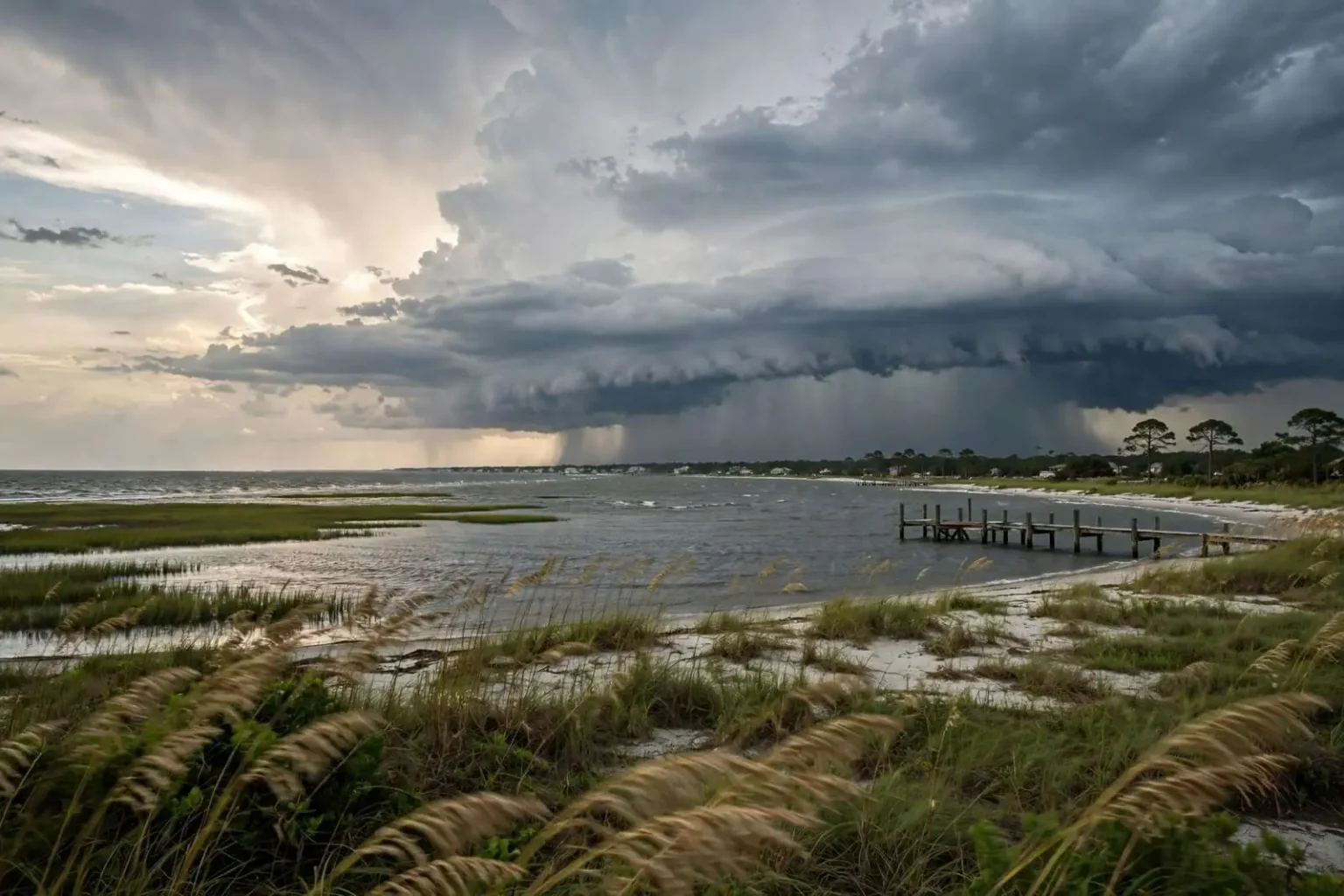
Before the cooler air arrives, an unsettled stretch of weather takes center stage. Repeated rounds of afternoon thunderstorms are expected through much of the week, with the strongest activity likely during the afternoon and evening hours.
Highs will reach the low to mid-90s early in the week, with humidity pushing the “feels-like” temperature well over 100 degrees at times. The Storm Prediction Center placed portions of the area in a Level 1 of 5 “marginal” risk for severe storms on multiple days.
Most storms will stay below severe limits, but a few could turn strong to severe. The main hazards are damaging wind gusts, torrential downpours and frequent lightning — not a tornado-focused setup. Because coverage will vary from one community to the next, some neighborhoods may see repeated downpours while others stay comparatively dry.
Looking toward Labor Day
The same general pattern — scattered to numerous afternoon storms — is expected to hold Wednesday through Friday, with temperatures easing slightly compared with the recent extreme heat. Along the beaches, forecasters expect a low rip-current risk through late week, though thunderstorms can still produce dangerous lightning and locally gusty winds near the coast.
Looking past Labor Day, Gulf Shores and Orange Beach should transition to more comfortable, late-summer conditions. Historical averages put the normal September high at about 85 degrees and the normal low near 74. Daily highs are expected to settle consistently into the mid-80s, with overnight lows cooling into the low to mid-70s — a comfortable close to an exceptionally hot summer.
Tropics remain quiet
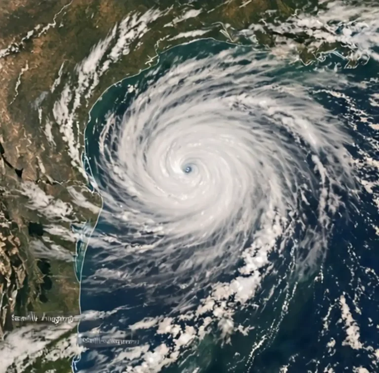
As for the tropics, forecasters are monitoring a few areas across the Atlantic, but no tropical impacts are expected along the Gulf Coast over the next seven to 10 days. For now, the main weather story stays close to home: heat, humidity and daily rounds of thunderstorms.
Update: Slight Risk of severe storms this afternoon
Forecasters upgraded the day’s outlook to a Slight Risk of severe weather as a complex of thunderstorms moved southeast into the region. Scattered to numerous showers and storms were expected to develop mainly after 1 p.m., with peak activity between 2 p.m. and 9 p.m. Damaging wind gusts were the primary threat, with heavy rain and frequent lightning possible in the strongest cells.
Highs reached the low to mid-90s with heat index values climbing near 105 degrees before storms arrived. Storms were expected to taper off after 7 p.m. The active pattern was set to continue through the week, with Thursday shaping up as one of the wettest days, while no tropical impacts were expected along the Gulf Coast over the following 7-10 days as monitored systems were projected to recurve into the open Atlantic.
What the risk levels mean
The Storm Prediction Center, part of the National Weather Service, rates severe weather risk on a five-level scale: 1 (marginal), 2 (slight), 3 (enhanced), 4 (moderate) and 5 (high). A marginal risk means isolated severe storms are possible, while a slight risk means scattered severe storms are possible. In the SPC’s definitions, a storm is considered severe when it produces wind gusts of at least 58 mph, hail 1 inch or larger in diameter, or a tornado.
The Atlantic hurricane season runs from June 1 through Nov. 30, with activity historically peaking from mid-August through early October.