

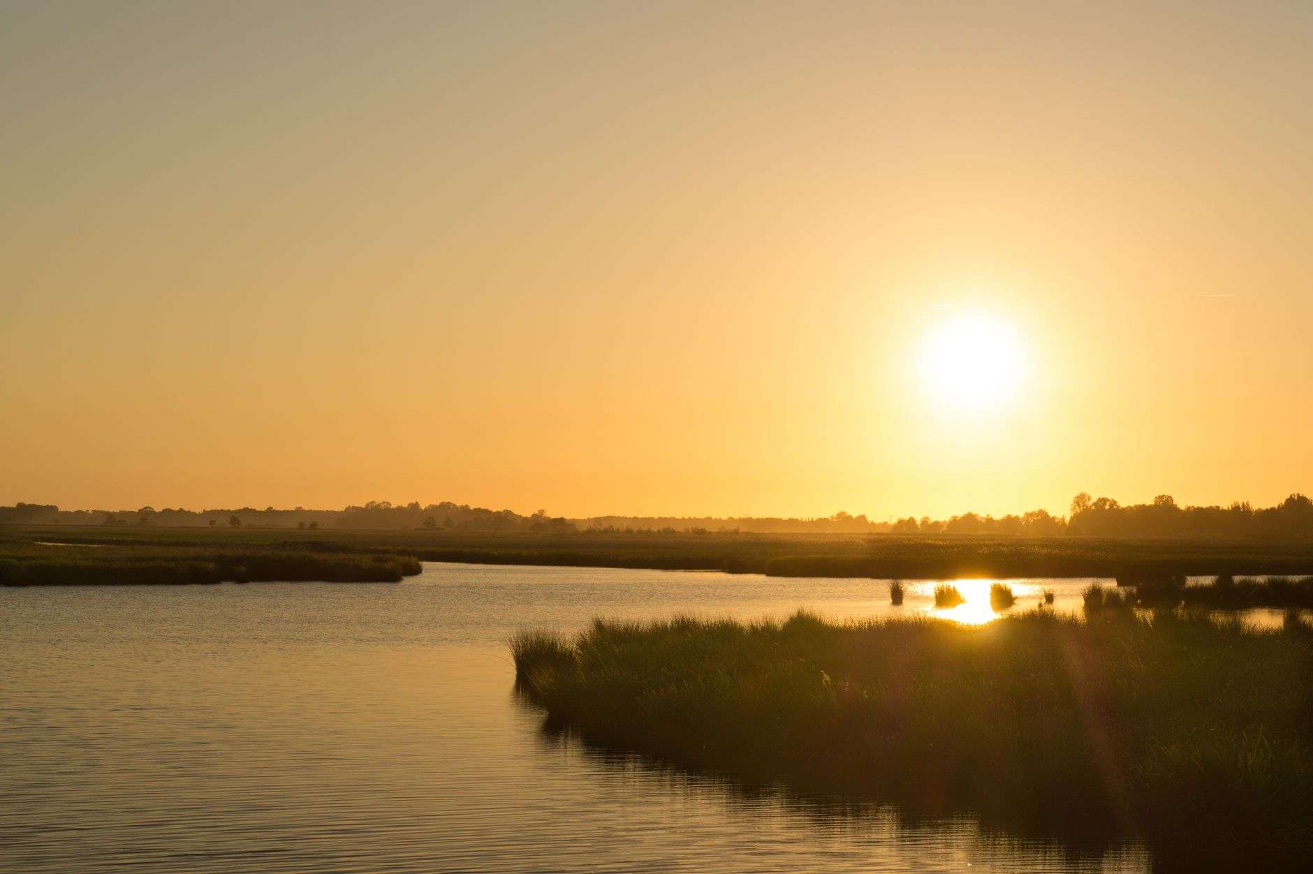
Baldwin County and the state of Alabama are teaming up on a new conservation initiative aimed at protecting one of the region’s most treasured waterways, the Magnolia River, by targeting erosion and pollution at its source. Under a new agreement between the Baldwin County Commission and the Alabama Department of Environmental Management (ADEM), officials will implement a series of erosion control and stormwater management measures in the Weeks Creek watershed, a tributary that feeds directly into the Magnolia River.
How the project is funded and structured
The project is funded through the U.S. Environmental Protection Agency’s Clean Water Act Section 319(h) program, which supports state and local efforts to reduce nonpoint source pollution — runoff that isn’t traced to a single source, such as sediment washed from unpaved roads or fertilizer carried off lawns and fields. The 319(h) program is the federal government’s principal grant mechanism for exactly this kind of work: instead of regulating a single discharge pipe, it funds the diffuse, cumulative fixes — road stabilization, drainage retrofitting, buffer plantings — that keep pollution out of streams in the first place.
The Baldwin County Commission will act as the subrecipient of the cooperative agreement, overseeing work on the ground while ADEM administers the grant funding. The arrangement puts the county’s road and engineering crews in charge of construction while the state agency handles the federal paperwork, water-quality monitoring and reporting requirements that come attached to EPA money.
According to the commission, the work will include “stabilizing eroding unpaved roads and conveyances to mitigate nonpoint source pollution in the form of sediment and turbidity.” Unpaved roads are among the most persistent sediment sources in fast-growing coastal counties: every rainstorm strips fine soil from a road surface and its drainage ditches and carries it toward the nearest creek, clouding the water and settling into the gravel beds that fish and other aquatic life depend on.
Why the Magnolia River qualified
Officials said the Magnolia River watershed was chosen for the project because of both its ecological value and the protections it already carries under state law. “In 2009, ADEM designated approximately 12.5 miles of Magnolia River as an Outstanding Alabama Water (OAW),” the commission said. “The river is classified for the uses of Swimming and Whole-Body Contact and Fish and Wildlife, and the OAW designation provides the highest level of protection under state regulations. This designation requires that water quality be maintained and protected from degradation, including impacts from nonpoint sources. Therefore, maintaining current high-water quality is a priority under both regulatory and programmatic objectives.”
That regulatory status shapes how the state approaches the watershed. Rather than waiting for measurements to show degradation before acting, the Outstanding Alabama Water designation obligates officials to hold the line on existing quality — which makes prevention projects like this one the natural instrument of compliance, and makes a sediment-heavy tributary like Weeks Creek the obvious place to intervene.
The river’s uses matter to the surrounding communities as well. A waterway classified for swimming and whole-body contact is one where families swim, paddle and fish, and where the town of Magnolia Springs — where residents have long staged boat parades and drawn drinking-water-adjacent pride from their river — has a direct stake in keeping the water clear.
The work on Norris and Hartung roads
The centerpiece of the project will be improvements to Norris and Hartung roads and the drainage systems that surround them. Plans call for stabilizing the eroding unpaved roads and their conveyances using gravel and check dams, while bioswales and native plantings will be installed to filter out sediment, nutrients and other stormwater pollutants before they can reach Weeks Creek.
Each technique does a different job. Gravel surfacing armors the road bed itself so rain no longer strips bare soil into the ditches. Check dams — small barriers set across drainage channels — slow the water’s speed so sediment drops out before it travels downstream. Bioswales are engineered, vegetated channels that intercept runoff and let plants and soil biology absorb nutrients before the water moves on, and native plantings anchor those swales while requiring none of the fertilizer that conventional landscaping would add to the problem.
Together they form a treatment train: runoff from the roads is slowed, settled, filtered and absorbed in sequence, so that the water reaching Weeks Creek carries a fraction of the sediment and nutrient load it carries today. The approach is the standard toolkit of low-impact development, applied at the scale of two county roads and their drainage systems.
ADEM officials say the goal is straightforward: cut down on the runoff and pollution that eventually make their way into the Magnolia River. “ADEM received a funding request via Baldwin County Commission for Clean Water Act Section 319(h) grant funding for implementation of low impact development BMPs in the Weeks Creek watershed,” said M. Lynn Battle, chief of ADEM’s Office of External Affairs.
What county officials say it buys
County officials framed the effort as a win for both the environment and the people who live along the waterway. “Implementation of targeted BMPs in the Magnolia River Watershed offer an opportunity to protect an ecologically significant waterbody, prevent impacts to adjacent landowner properties and improve water quality for the residents who use these natural resources,” the commission said.
The landowner point is a practical one: eroding roads and failing drainage do not only pollute the river downstream, they dump sediment and water onto neighboring property, silt out culverts and undermine road edges. Stabilizing the roads is maintenance and conservation in the same stroke — money the county would eventually spend repairing the roads anyway, directed at a design that also protects the watershed.
The partner organizations behind the project
The project also has the backing of several partner organizations, including the Natural Resources Conservation Service, which will provide technical and engineering assistance in selecting and installing the best management practices. The Mobile Bay National Estuary Program, the Magnolia River Water Watch Group and the Town of Magnolia Springs are also involved in the effort.
That roster reflects how coastal Alabama watershed work actually gets done. The NRCS brings federal engineering expertise; the Mobile Bay National Estuary Program coordinates watershed-level planning across jurisdictional lines; the local water watch group supplies the volunteers and the monitoring history that documents conditions over time; and the town’s participation ensures the community most identified with the river has a seat in the decisions that affect it.
Timeline and what happens next
Construction on the road and drainage improvements is expected to begin in early August, with the work slated for completion by Sept. 30. The compressed schedule fits both the funding cycle and the work itself: road stabilization and drainage retrofits are best done in the drier stretches of the coastal calendar, before heavy rains test the new structures, and grant-funded projects typically must be completed within the federal fiscal-year window that closes at the end of September.
Completion will not end the monitoring. Section 319(h) projects are judged by their measured effect on water quality, so the sediment and turbidity reductions in Weeks Creek will be documented against baseline conditions — data that in turn strengthens the county’s case for future watershed grants, both on the Magnolia River and on the other streams that drain Baldwin County’s rapidly growing landscape.
Why this river, to the people who use it
For many Baldwin County residents, the Magnolia River is more than just a waterway to be managed — it’s a community gathering spot and a source of local pride. “The Baldwin County Commission is passionate about natural resource protection and considers the Magnolia River a unique watershed that provides numerous benefits to County and municipal residents,” the commission said. “Whether it is swimming in the Cold Hole, enjoying its beautiful scenery or the functional purpose of the river in managing stormwater, Magnolia River is a very special watershed.”
The Cold Hole reference captures the river’s place in local life: a swimming spot known to generations of families in southern Baldwin County, and one of the reasons the river’s swimming classification is not a regulatory abstraction but a description of what residents actually do on summer afternoons. The same water that children swim in drains a watershed of farms, subdivisions and — through places like Weeks Creek — miles of unpaved road.
A model for the county’s other watersheds
Baldwin County’s waterways face the same pressures in different proportions: some of the fastest residential growth in the state, miles of unpaved roads in its rural reaches, and a network of rivers and creeks — the Magnolia, the Fish, the Bon Secour — that carry that development’s runoff toward Mobile Bay. A project that stabilizes roads, retrofits drainage and measures the water-quality result in a single small watershed gives the county a tested template it can repeat elsewhere.
The partnership structure is as replicable as the engineering: a county commission willing to serve as subrecipient, a state agency to administer the grant, federal technical partners, a local estuary program, and a community group with its own stake in the water. The Magnolia River project’s real legacy may be the demonstration that the pieces fit — that a road grader, a check dam and a water-quality sample can be parts of the same answer, and that protecting a treasured river starts not on the river itself but on the unpaved roads a few miles upstream.