Gulf Coast Forecast: Mild Days Through Thursday, Then Friday Cold Front Brings Mid-30s and Inland Frost
Mild afternoons in the 70s last through Thursday before a sharp cold front Friday brings the coldest night of the fall, with mid-30s lows, a possible light freeze north of Highway 84 and patchy inland frost Saturday night.
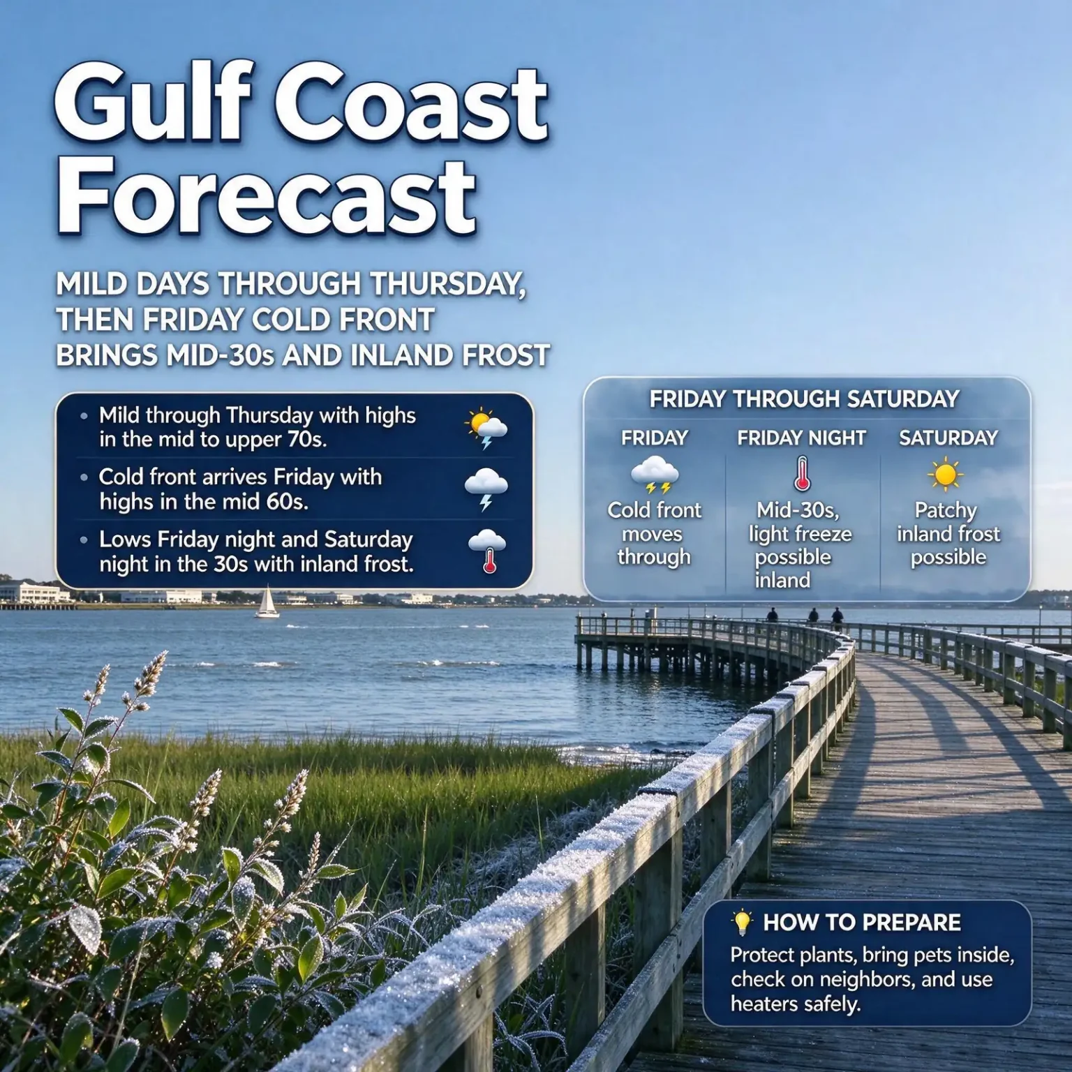
MOBILE, Ala. — The Gulf Coast forecast calls for a few more days of classic fall weather, with mild afternoons and cool mornings through Thursday, before a sharp cold front arrives Friday and sends overnight lows into the mid-30s. Friday night is expected to be the coldest of the fall so far, with a light freeze possible in far inland areas and patchy frost possible again Saturday night.
Dry air will dominate the week, keeping rain out of the picture for most if not all of the period. The next small chance of a shower does not show up until Monday.
Through Thursday: Mild afternoons, cool mornings
The pattern for the rest of the workweek will feel comfortable for most people. Afternoon highs will reach the mid to upper 70s, while morning lows settle between 50 and 55 degrees, with slightly cooler readings in inland communities.
Clouds may pass through from time to time, but the lower part of the atmosphere is expected to stay dry. That keeps rain chances very low through Thursday, including Wednesday, Veterans Day, when many communities around Mobile and Baldwin counties hold parades, ceremonies and other observances. Anyone heading out early for a morning ceremony may want a light jacket, but the afternoon should be pleasant.
Friday: The turning point
The pattern changes sharply on Friday, Nov. 13, as a strong cold front pushes through the area. Daytime highs are expected to reach only the middle 60s, a drop of 10 degrees or more from earlier in the week.
The bigger change comes after dark. Friday night is forecast to bring the coldest temperatures of the season so far, with lows dipping into the mid-30s. A light freeze is possible in far inland locations, mainly north of U.S. Highway 84, the east-west route that crosses the northern part of the region through communities such as Grove Hill, Monroeville, Evergreen and Andalusia.
Closer to the coast, the water of Mobile Bay and the Gulf typically keeps overnight temperatures a few degrees milder than in rural inland areas, but residents across the region should still expect a cold start to Saturday.
Weekend outlook: Another cold night and patchy frost
Saturday, Nov. 14, will stay cool even with the sunshine, with highs only in the low 60s. Another cold night follows, with lows Saturday night returning to the 30s.
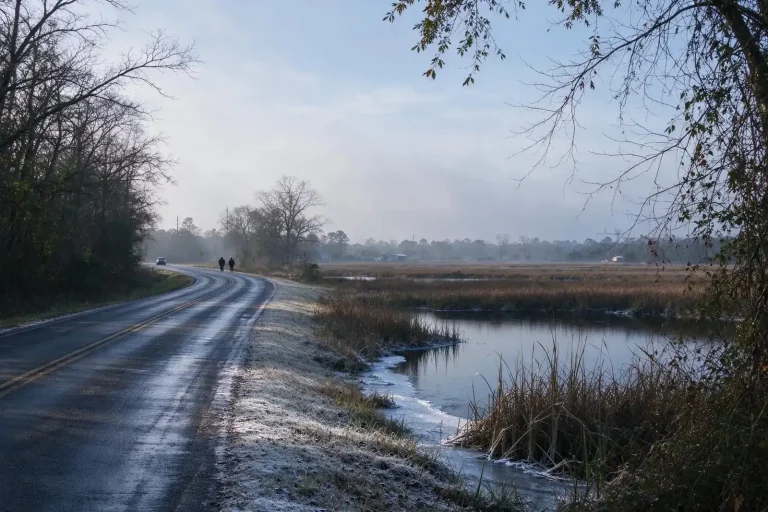
Patchy frost is possible in inland areas Saturday night, especially if winds turn lighter. Frost forms most easily on clear, calm nights, when the ground and other surfaces lose heat quickly and can cool below freezing even when the air temperature a few feet up is in the mid-30s. That is why frost often shows up first on rooftops, car windshields and low-lying open fields before it appears anywhere else.
This would be the second round of frost potential in a little over a week. Last weekend, a Frost Advisory was issued early Sunday, Nov. 8, for the northern counties of the area, where temperatures were expected to fall into the middle to upper 30s, as South AL News reported. Forecasters had been watching for this week’s front as a potential source of even colder air.
Extended forecast: Staying dry into next week
Dry conditions are expected to continue into the early part of next week. An isolated shower is possible by Monday, Nov. 16, but no widespread or significant rain is in the forecast.
The long dry stretch is good news for outdoor plans, from fall festivals and outdoor events to yard work and fishing. It also means vegetation and leaf litter will keep drying out, so residents planning to burn yard debris should check local burn rules and avoid burning on breezy days.
How to prepare for the cold snap
The cold will not be extreme by winter standards, but it will be the first real chill of the season for many households. A few simple steps can help:
- Protect tender plants. Gardeners in inland areas, especially north of Highway 84, should cover sensitive plants with frost cloth or a light blanket before sunset Friday and Saturday, and bring potted plants indoors or into a garage. Remove plastic coverings during the day so plants do not overheat.
- Bring pets inside. Outdoor pets should have a warm, dry place to sleep and fresh water that will not freeze.
- Check on neighbors. Older residents and people living alone may need help staying warm, particularly in homes without central heat.
- Use heaters safely. Keep space heaters at least three feet from anything that can burn, plug them directly into a wall outlet, and turn them off when leaving the room or going to sleep.
- Test smoke and carbon monoxide alarms. The first cold night is a common time for households to run heating systems and fireplaces for the first time in months. Make sure alarms work and never use a grill, generator or gas oven to heat a home.
- Plan for a chilly morning. Allow a few extra minutes Saturday morning to clear frost from windshields in inland areas, and dress children waiting for buses or heading to weekend activities in layers.
The week at a glance
- Tuesday through Thursday: Mild, mostly dry. Highs in the mid to upper 70s; lows 50 to 55, cooler inland.
- Friday: Cold front moves through. Highs in the middle 60s. Lows Friday night in the mid-30s, with a light freeze possible in far inland areas north of Highway 84.
- Saturday: Highs in the low 60s. Lows Saturday night in the 30s, with patchy inland frost possible, especially if winds are light.
- Sunday into early next week: Dry conditions continue.
- Monday: An isolated shower is possible.
Forecasts can shift as a front approaches, so residents with plants to protect or outdoor plans for Friday night and Saturday should check the latest forecast from the National Weather Service before the weekend.