Hurricane Isaias Threat Grows for Mobile and Baldwin Counties: What to Know and How to Prepare
Tropical Storm Isaias is expected to become a hurricane by Thursday and could make landfall near Mobile Bay by Friday night. Here is the latest forecast, rainfall outlook, cancellations and preparedness steps.
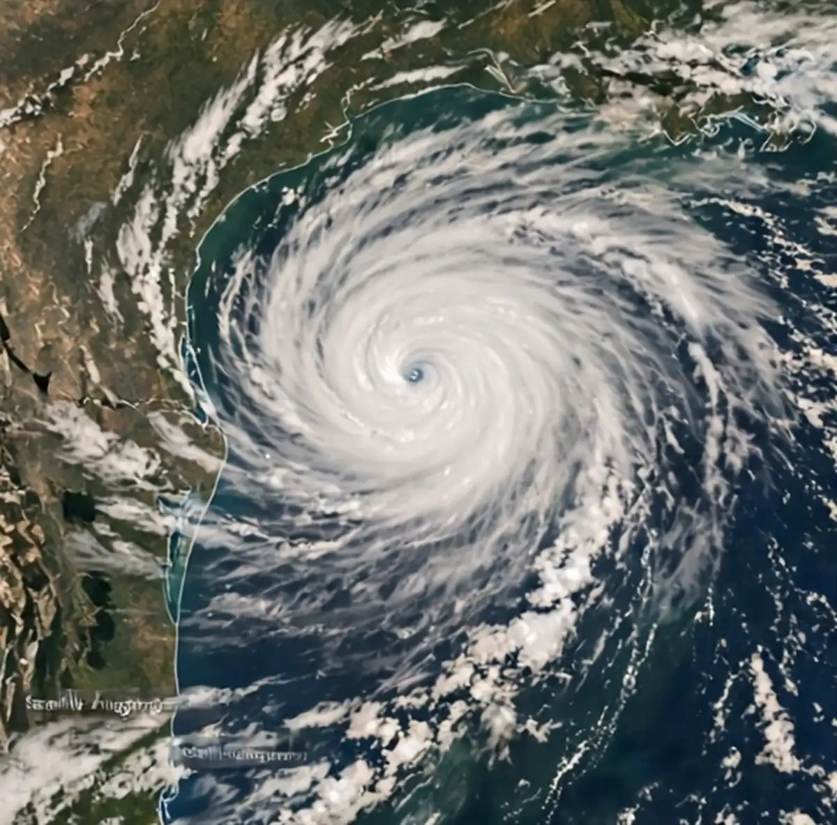
MOBILE, Ala. — Coastal Alabama is bracing for what forecasters say could be a hurricane landfall by the end of the week. Tropical Storm Isaias formed in the Gulf on Wednesday, Oct. 7, and the National Weather Service expects it to strengthen into Hurricane Isaias by Thursday as it heads toward the Mobile and Baldwin county coastline. A hurricane watch is now in effect for coastal Alabama, and schools, festivals and athletic programs across the region are already clearing their calendars.
The National Weather Service’s forecast cone, which shows the most likely path of the storm’s center, is centered on the Mobile and Baldwin counties area. Under current projections, Isaias could make landfall in Alabama as soon as Friday afternoon, Oct. 9, and is tracked to be in the Mobile Bay area around 1 a.m. Saturday.
Here is what residents need to know about the forecast, the expected impacts, the events that have been called off and the steps to take now.
From Gulf disturbance to tropical storm
The system first drew attention early in the week as an area of low pressure in the southwestern Gulf. In a Tuesday morning bulletin, Oct. 6, the National Weather Service said a tropical depression was likely to develop off the eastern coast of Mexico.
“Continued development of this system is expected, and a tropical depression is anticipated to form over the next day or so while it drifts eastward.”
— National Weather Service, Tuesday bulletin
At that point, forecasters gave the disturbance a 90 percent chance of forming by Thursday and said it could bring gusty winds and heavy rain to the western Yucatan Peninsula before turning north. The agency cautioned that it was “still too early to determine specific impacts to the northern Gulf Coast,” but urged interests from the Florida Panhandle to Louisiana to closely monitor the system.
To improve the forecast, the NOAA Gulfstream jet was scheduled to sample the atmosphere over the Gulf on Tuesday, and an Air Force reconnaissance aircraft was scheduled to investigate the system on Wednesday. Data gathered by these aircraft, including wind speeds, pressure and moisture readings, is fed into computer models and is one of the most valuable tools forecasters have for pinning down a storm’s track and strength.
By Wednesday morning, the system had organized into Tropical Storm Isaias. In an update issued at 5:24 a.m., the National Weather Service reported, “Maximum sustained winds are 35 kt with gusts to 45 kt, and the minimum central pressure is 1004 mb.”
Rapid strengthening expected
By 11 a.m. Wednesday, the storm had grown stronger. The National Weather Service reported Isaias was moving northeast at 7 knots with maximum sustained winds of 46 mph and gusts up to roughly 57 mph.
Forecasters expect significant intensification over the next two days. By Thursday morning, the system’s winds are forecast to increase to between 74 and 92 mph — hurricane strength — and to “continue to strengthen” as it nears landfall. By Friday morning, the National Weather Service expects maximum wind gusts to reach between 109 and 117 mph. Independent forecasters have said the storm could become a Category 2 hurricane by Friday, and the National Weather Service’s Mobile office has described Isaias as likely to be “a significant hurricane” when it reaches the Alabama coast.
Tropical storm-force winds are projected to arrive in Mobile and Baldwin counties sometime Friday evening, and flash flooding has been forecast. The weather service also noted that “swells from Isaias are expected to spread across the most of the northern and central Gulf portions through Fri night,” with weak high pressure expected over the basin in the storm’s wake.
Baldwin County EMA warns of heavy rain
The Baldwin County Emergency Management Agency issued an advisory Wednesday morning warning that the storm was expected to hit the county’s coastal region hard and urging residents to be prepared. The agency is expecting up to 6 inches of rain throughout the county, with as much as 10 inches possible on and around the coast.
“Baldwin County EMA will continue to provide updates as this system evolves. Residents and visitors are urged to stay weather-aware and prepare for the possibility of hazardous conditions.”
— Baldwin County Emergency Management Agency
Rainfall totals of that size can overwhelm drainage systems, swell rivers and creeks, and flood low-lying neighborhoods and roadways. Areas along Mobile Bay, the Fish River, Bon Secour and the communities near the beaches are particularly vulnerable when heavy rain combines with storm surge pushing water inland.
Understanding the hurricane watch
A hurricane watch means hurricane conditions — sustained winds of 74 mph or higher — are possible within the watch area. Watches are generally issued about 48 hours before tropical storm-force winds are expected to arrive, because outdoor preparations become difficult or dangerous once those winds begin. A hurricane warning, which is typically issued about 36 hours ahead, means hurricane conditions are expected. The National Hurricane Center had advised Wednesday morning that watches could be posted for areas between Louisiana and the Florida Panhandle as soon as Wednesday evening.
Hurricanes are rated on the Saffir-Simpson Hurricane Wind Scale, which runs from Category 1 to Category 5 based on sustained wind speed. A Category 1 storm has winds of 74 to 95 mph, while a Category 2 storm has winds of 96 to 110 mph and can cause extensive damage to roofs, siding, trees and power lines. Category 3 and higher storms are considered major hurricanes. The scale measures wind only; storm surge, rainfall flooding and tornadoes can be deadly regardless of a storm’s category.
Mobile and Baldwin counties have a long history with tropical systems. Hurricanes Frederic in 1979 and Ivan in 2004 caused severe damage along the coast, and Hurricane Sally made landfall near Gulf Shores in September 2020, dumping torrential rain and leaving widespread flooding and power outages behind. Although the Atlantic hurricane season peaks in late summer, it runs through Nov. 30, and October storms in the Gulf are far from unheard of.
Cancellations and postponements
As the forecast sharpened Wednesday, organizations across the region began announcing changes:
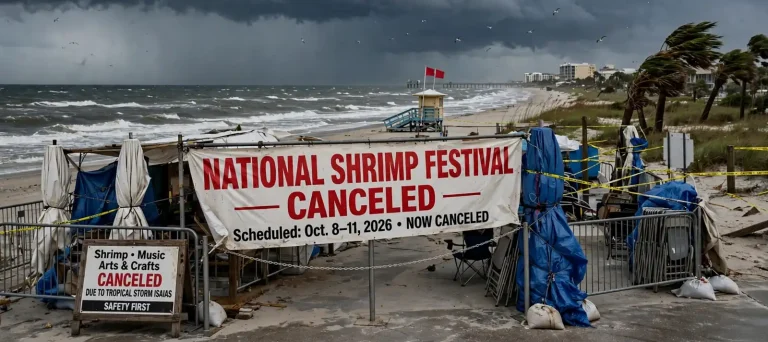
- National Shrimp Festival: The annual festival in Gulf Shores, scheduled for Oct. 8-11, has been canceled for this year due to the storm, organizers confirmed.
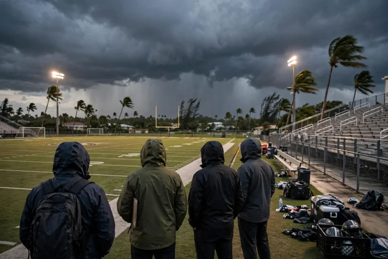
- Coastal Alabama Athletics: All athletic activities scheduled for Friday through Sunday, Oct. 9-11, have been canceled because of the severe weather threat.
- Fairhope High School: The Homecoming Dance has been postponed to Friday, Oct. 30, following the Fairhope Pirates’ game against Vigor. The Homecoming bonfire is scheduled for Thursday, Oct. 29.
- Mobile Latin Fest: The event has been rescheduled for Sunday, Oct. 18, from noon to 7 p.m. at Mardi Gras Park.
- St. Paul’s Episcopal School: Classes have been canceled for Friday, Oct. 9.
In an email to parents, St. Paul’s Episcopal School explained that the closure was meant to give families time to get ready before conditions worsen.
“Our primary concern is the safety and well-being of our students, families, faculty, and staff. By canceling school on Friday, we hope to give everyone the opportunity to make necessary preparations, secure homes and property, gather supplies, and attend to any family needs before conditions begin to deteriorate.”
— St. Paul’s Episcopal School
More announcements are likely as the storm approaches. Families should check directly with their school systems, churches, employers and event organizers for the latest information.
How to prepare now
Emergency managers stress that the time to prepare is before the watch becomes a warning. Guidance from the Federal Emergency Management Agency, the National Weather Service and local emergency management agencies includes the following steps:
- Know your zone: Find out whether your home is in an area that could be ordered to evacuate because of storm surge, and plan where you would go and how you would get there. If officials order an evacuation, leave promptly.
- Build a kit: Stock at least several days’ worth of drinking water — commonly recommended at one gallon per person per day — along with nonperishable food, a manual can opener, prescription medications, first-aid supplies, flashlights, extra batteries and a battery-powered or hand-crank radio.
- Protect important papers: Place insurance policies, identification, medical records and other key documents in a waterproof container or save digital copies.
- Charge and fuel up: Charge phones and backup batteries, fill vehicle gas tanks and keep some cash on hand in case power outages knock out card readers and ATMs.
- Secure your property: Bring in or tie down patio furniture, grills, trash cans and decorations. Install storm shutters or board windows if you have them, and clear gutters and storm drains near your home.
- Plan for pets and vulnerable family members: Make arrangements for pets, and check on elderly neighbors or relatives who may need help preparing or evacuating.
- Review your insurance: Know what your homeowners and flood policies cover, and take photos or video of your property before the storm for documentation.
- Sign up for alerts: Enable emergency alerts on your phone and follow the National Weather Service in Mobile and your county emergency management agency for official updates.
Staying safe during and after the storm
Once the storm arrives, stay indoors and away from windows, and do not venture out during the calm of the eye, as winds can return suddenly from the opposite direction. Have a plan to move to an interior room on the lowest floor not prone to flooding if a tornado warning is issued; tropical systems often spawn brief tornadoes in their outer bands.
Flooding is responsible for many hurricane-related deaths. Never drive or walk through flooded roadways — “Turn Around, Don’t Drown” — since even shallow moving water can knock a person down or sweep a vehicle away, and floodwaters can hide washed-out roads, debris and downed power lines.
After the storm passes, use generators only outdoors and well away from doors and windows to prevent carbon monoxide poisoning. Treat every downed power line as live, report outages to your utility, and be cautious with chainsaws and cleanup work. Wait for officials to say it is safe before returning to evacuated areas.
What’s next
Forecasters will continue to update Isaias’ track and intensity through the week, and watches may be upgraded to warnings as landfall draws closer. Residents should expect conditions to begin deteriorating Friday, with the most severe weather possible Friday night into early Saturday as the storm moves through the Mobile Bay area.
Baldwin County EMA and Mobile County officials will announce any evacuation orders, shelter openings or curfews as needed. Until then, the message from emergency managers is consistent: stay weather-aware, finish your preparations early and be ready to act if officials call for it.