Severe Thunderstorms, Tornado Risk in the Forecast
Strong thunderstorms with a risk of tornadoes are expected to move through the area tonight, bringing heavy rain and a chance of flash flooding.
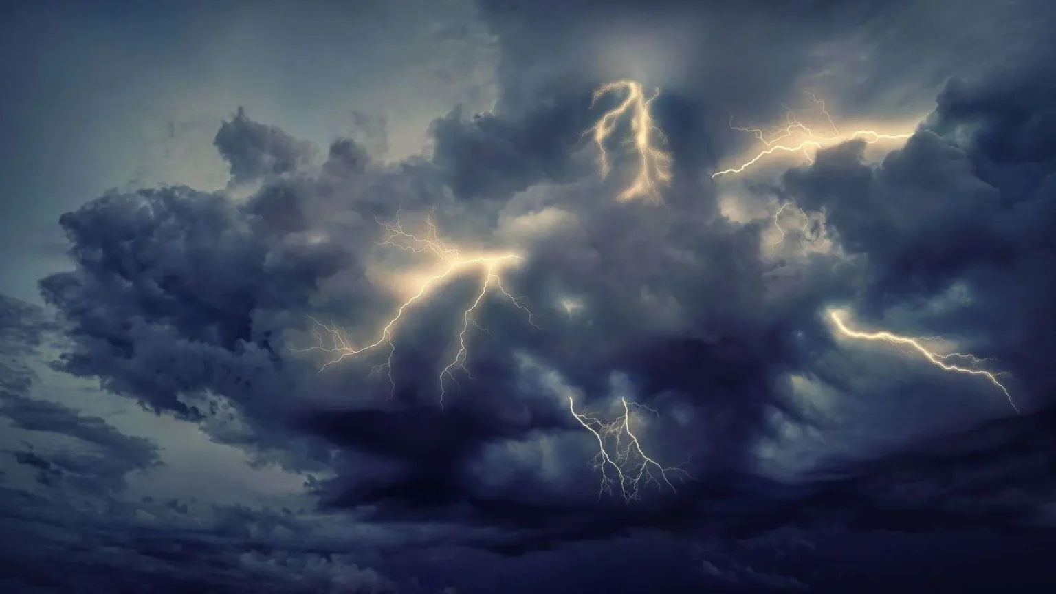
Strong thunderstorms are expected to move through the area tonight, bringing the possibility of severe weather to communities across the region. Forecasters say the main threat will be straight-line winds capable of downing trees and power lines, but conditions will also support an isolated tornado, and residents are urged to stay weather-aware through the overnight hours.
The line of storms is forecast to track from west to east through the evening, which means neighborhoods on the western end of the coverage area will see the weather first, with conditions deteriorating and improving in sequence as the system passes. Rainfall totals of 1 to 2 inches are expected in most locations, but isolated areas could see several inches where bands of heavy rain repeatedly move over the same ground — a setup that raises the risk of flash flooding, particularly in low-lying areas and spots with poor drainage.
Straight-line winds in severe thunderstorms can gust well above the threshold that causes damage, and unlike tornado winds they move in one broad direction, flattening trees and power lines across wide swaths of territory. Damage from these wind events is often mistaken for tornado damage after the fact because the effects — downed limbs, shingles stripped from roofs, power outages — look similar from the ground. The difference matters for forecasters and for residents: straight-line wind events cover larger areas, while tornado damage follows a narrow, concentrated path.
Understanding Tonight’s Risks
The tornado threat with a system like tonight’s is described as isolated, meaning a brief spin-up cannot be ruled out within the larger line of storms. These quick tornadoes can still produce significant damage, and they are among the hardest to warn for because they can develop with little lead time inside an already dangerous storm line. That is why forecasters emphasize preparation before the storms arrive rather than reaction after a warning is issued — knowing where you will shelter and having a way to receive warnings can make the difference in the few minutes a warning gives you.
Flash flooding is the other major concern, especially in urbanized areas where pavement prevents water from soaking into the ground and in rural low spots where creeks and streams rise quickly. A couple of inches of rain falls without consequence in most situations, but several inches in a short period overwhelms drainage systems, sends water across roadways, and can flood vehicles and ground-floor rooms. The standard safety guidance applies: never drive through a flooded road, because the depth of the water and the condition of the roadway beneath it are impossible to judge from behind the wheel, and it takes only about a foot of moving water to carry away most passenger vehicles.
Overnight storms carry an added risk that meteorologists stress repeatedly in this region: people are asleep, warnings go unheard, and the time available to react shrinks. Weather radios that sound an audible alert when a warning is issued for your county are the most reliable overnight option, since they work even when phones are on silent. Wireless emergency alerts on cell phones also activate automatically for tornado warnings, so residents should make sure those alerts are not disabled in their phone settings.
Getting Ready Before the Storms Arrive
Preparation for a night like tonight does not require much time, but it does require doing a few things before dark. Residents should secure or bring indoors anything in the yard that wind can turn into a projectile — patio furniture, trash cans, toys, and grills. Vehicles should be moved out of areas where large trees or limbs could fall on them. Phone batteries should be charged, and flashlights should be located before the power goes out rather than after, since finding a flashlight in the dark while a storm rattles the house is the wrong time to start looking.
Everyone in the household should know where the safe room is: a basement if the home has one, or otherwise an interior room on the lowest floor with no windows, such as a bathroom, closet, or hallway. Families with members who have medical needs that depend on electricity — oxygen concentrators, refrigerated medications, mobility equipment — should think through their backup plan in advance. Pet owners should include animals in the shelter plan, with carriers or leashes ready if a warning forces a quick move to the safe room.
When Warnings Are Issued
The distinction between a watch and a warning is worth repeating on nights like this, because the two terms are often confused. A severe thunderstorm or tornado watch means conditions are favorable for severe weather to develop — it is a heads-up to stay alert and review your plan. A warning means severe weather has actually been detected, either by radar or by trained spotters, and that people in the warned area need to take shelter immediately. Watches can cover broad regions for hours at a time, while warnings target smaller zones for shorter periods.
When a warning is issued for your location, move to the safe room immediately and protect your head with a mattress, pillows, or a helmet if time allows. Mobile homes and vehicles are among the most dangerous places to be in a tornado or severe wind event; residents of manufactured housing communities should identify a sturdier shelter nearby before the storms arrive and be ready to move quickly. If you are on the road when a warning is issued, the guidance is to leave the vehicle for a substantial building if one is reachable, and never to try to outrun a storm or shelter under an overpass.
Power outages are likely in areas where the straight-line winds bring down trees and lines across the region. Utility crews stage ahead of significant weather events and begin restoration as soon as conditions allow, but residents should plan for the possibility of an outage lasting overnight or longer. Keep refrigerator and freezer doors closed to preserve food, use flashlights rather than candles to reduce fire risk, and never run generators indoors or in garages — carbon monoxide from improper generator use causes deaths after nearly every significant storm in the Southeast.
Staying Informed Through the Night
Officials urge residents to stay tuned for the latest forecasts and warnings as the system approaches. Local broadcast meteorologists typically provide continuous coverage through severe weather events, tracking the line of storms cell by cell and describing where warnings are in effect. The National Weather Service office serving the region issues and updates watches and warnings around the clock, and its social media feeds and website carry the latest radar imagery and storm reports.
Having more than one way to receive warnings is the core advice for severe weather nights. A weather radio, phone alerts, and a live broadcast or streaming source together cover the gaps that any single method can have — a phone can lose signal, a broadcast can go dark if the transmitter loses power, and a weather radio only helps if it is turned on and set for your county. Checking conditions once more before going to bed, and keeping footwear and a way to see by the bed in case you have to move quickly in the dark, rounds out the overnight plan.
After the storms pass, residents should stay alert for lingering hazards. Downed power lines should always be treated as live, and people are urged to stay away from them and report them to the utility. Blocked roadways, damaged trees, and standing water can hide washed-out pavement, so travel should be limited until conditions are assessed at daylight. Storm reports of damage or flooding can be shared with local authorities or the weather service, helping officials map the impacts and confirming how the system behaved as it crossed the region from west to east.
Severe weather is a familiar rhythm of life along the Gulf Coast and across south Alabama, where warm humid air off the Gulf collides with passing fronts through much of the year. The region’s primary severe weather seasons run through the spring and again in late fall, but strong storms can develop at almost any time of year when the ingredients line up. Residents who have lived through past events know the pattern, but officials caution against complacency — every system is different, and the storms that cause the worst outcomes are often the ones people underestimated.
The area’s history with violent weather underscores the value of preparation. Outbreaks over the past decades have shown how quickly conditions can deteriorate and how important lead time is for families. Improvements in radar, forecasting, and warning dissemination have extended the notice people receive, but those gains only matter if warnings reach people and are acted on. That final step — hearing the warning, understanding it, and moving to shelter — remains the part of the system that individuals control themselves.
Local emergency management agencies play the coordinating role when severe weather strikes. Counties across the region maintain emergency management offices that activate warning sirens where they exist, share updates through county alert systems, and coordinate with school systems, utilities, and municipalities on closures and response. Many counties also offer opt-in text or email alert systems that push weather warnings directly to subscribers, and registering for those notifications is one more layer in a household’s warning plan.
After the Storm Passes
Once the line clears the area and conditions calm, the cleanup begins. Residents should check their property carefully — roofs, siding, fences, and trees — and photograph any damage before making temporary repairs, since documentation matters for insurance claims. Insurers generally ask policyholders to report storm damage promptly, and adjusters work through affected neighborhoods in the days after significant events. Keeping receipts for materials used in temporary repairs helps those claims move smoothly.
Neighbors helping neighbors is the other reliable feature of the aftermath in south Alabama communities. Chainsaws come out, driveways get cleared, and check-ins with elderly residents living alone happen before agencies can reach everyone. That informal network is a real part of the region’s resilience, and it works best when it includes a safety check on the most vulnerable households in the neighborhood — those without transportation, with medical needs, or living in homes least able to withstand wind damage.
Tonight’s system, with its mix of damaging straight-line winds, an isolated tornado threat, and the chance of several inches of rain in the heaviest bands, is the kind of event the region knows how to ride out — provided people take it seriously. Secure the yard, charge the phone, know the safe room, and keep a way to hear warnings through the night. The storms will move through from west to east and be gone, but the preparation done in the hours before they arrive is what determines how the night ends for each household along the way.