

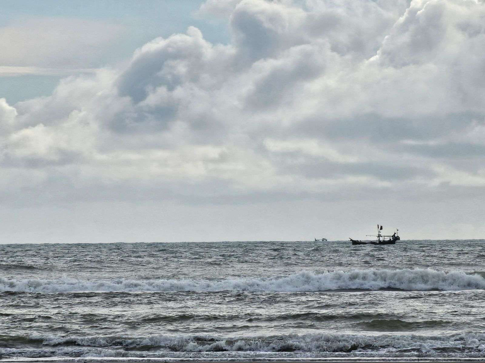
The National Weather Service has posted a Small Craft Advisory for Mobile Bay and the Mississippi Sound, even as the Tropical Storm Warning connected to Bertha has been cancelled for the area. The combination tells the story of a storm’s aftermath on the northern Gulf Coast: the worst has passed, but the water has not yet calmed, and the flags flying at marinas from Mobile to the barrier islands still warn small boats to stay tied up.
The advisory covers Northern Mobile Bay, Southern Mobile Bay and the Mississippi Sound, and stays in effect until 7 a.m. CDT Thursday. That footprint spans the entire working and recreational waterway system of the Alabama coast — the bay that Mobile’s port and fishing fleets depend on, and the sound that runs behind Dauphin Island and the Mississippi barrier islands. Together they make up one of the busiest small-craft environments on the Gulf, which is why the advisory’s wording matters to thousands of boaters across two states.
Forecasters say south winds of 15 to 25 knots, with gusts up to 30 knots, will keep seas running 1 to 3 feet across those waters through the overnight hours. Those are not dramatic numbers by open-ocean standards, but in the shallow, wind-sensitive waters of Mobile Bay they are enough to make the chop steep, short, and punishing — the kind of sea state that turns a routine crossing into an ordeal for a center console or a bay boat.
What a Small Craft Advisory means
Those winds and seas are expected to create hazardous conditions for small craft. The National Weather Service’s advisory products form a ladder of seriousness: advisories sit below gale and storm warnings, but they are not polite suggestions. A Small Craft Advisory means the forecast conditions are dangerous for the class of vessels the term describes — the fishing boats, skiffs, and mid-sized recreational craft that make up nearly all of the traffic on Mobile Bay — and experienced skippers treat the flag at the marina as a decision, not a decoration.
The National Weather Service is asking inexperienced mariners, and anyone operating a smaller boat, to avoid navigating Mobile Bay and the Mississippi Sound until conditions ease. The distinction between vessel classes is where boating judgment gets tested. A 40-foot trawler may shrug off a 3-foot chop; a 17-foot bay boat, a jonboat, a kayak, or a personal watercraft does not. The advisory’s guidance is aimed squarely at the latter group, and the majority of the coast’s boating public falls within it.
The hazards of shallow-bay chop are underappreciated because the seas look manageable from shore. Wind against tide in Mobile Bay can double the effective steepness of the waves, and a following sea on the return leg can broach a lightly loaded small boat. Capsizing and swamping events cluster precisely in these conditions — not in hurricanes, but in the ordinary-looking aftermaths, when boaters who waited out the storm in the morning grow impatient by afternoon.
Bertha’s passing and what remains
The end of the Tropical Storm Warning is a sign that the worst of Bertha’s impact on South Alabama’s coastal waters has passed, but the Small Craft Advisory means boaters should still stay ashore or use extra caution on the water until it expires early Thursday morning. The sequencing is typical of Gulf systems: the warning comes down when the destructive winds move out of the area, while the advisory holds until the lingering wind field — often stretched far from the storm’s center — relaxes enough to let the water lay down.
Bertha’s encounter with the northern Gulf Coast followed the pattern of the season’s early systems: more of a wind-and-water event for the coast than a structural one, with the damage concentrated in downed limbs, scattered power outages, and beach erosion where the surge pushed against the shoreline. For inland South Alabama, tropical systems that track across the state’s southern counties bring bands of heavy rain and the threat of spin-up tornadoes, but the marine community bears the disruption longest — the Intracoastal Waterway’s traffic, shrimp fleets, and charter boats all wait out the same wind field.
The overnight hours are the critical stretch. Forecasters expect the 15-to-25-knot south winds to persist through the night before easing, and the advisory’s 7 a.m. CDT Thursday expiration reflects that timeline. Boaters waking early should check the latest forecast before relying on the expiration — marine advisories are updated on a regular cycle, and conditions that fail to ease on schedule can extend a warning with little notice.
Reading the water before the weather lets go
Experienced coastal boaters read a post-storm advisory differently from a routine forecast. A south wind of 15 to 25 knots in Mobile Bay does not produce uniform conditions — the northern end of the bay, sheltered by distance, may lay down hours before the open water south of the Causeway does, and the sound behind Dauphin Island can hold its chop into the evening after the bay has smoothed. Local knowledge of where the fetch runs longest is part of every veteran skipper’s calculus, and it is exactly what the advisory’s blanket wording cannot capture.
Tide and current amplify the arithmetic. Wind-driven water piles up against the downwind shore, and the resulting current running against the waves steepens them further — the mechanism behind the short, sharp chop that Mobile Bay is known for in sustained southerly blows. Boaters crossing the bay’s open expanses, or running the passes between the sound and the Gulf, should assume the worst sea state lies where wind and current oppose each other, not necessarily where the waves look tallest from the dock.
The wisest course, and the one the Weather Service’s guidance points to, is patience. A one-night advisory is a short wait in a long season, and the boats that respect it are the ones that do not appear in the rescue logs. Coast Guard stations and marine patrols along the Alabama coast respond each year to boaters who ventured out in advisory conditions and needed help getting back; the cost of waiting until Thursday morning is measured in hours, while the cost of the alternative can be measured in lives.
Why Mobile Bay is so sensitive to wind
Mobile Bay’s geography explains its temperament. The bay is broad and shallow — roughly 30 miles long and up to 12 miles wide, with much of it less than 12 feet deep — which means wind transfers its energy directly into the water column rather than being absorbed by depth. A sustained southerly blow pushes water northward into the bay’s head, raising levels at Mobile and dropping them at the southern passes; a hard northerly reverses the effect. Boaters who have watched a docked boat go aground on its own lift lines during a strong wind event have seen the bay’s habit of rearranging itself.
The Mississippi Sound adds its own wrinkles. The sound is protected from open-Gulf swell by Dauphin Island and the barrier islands, but that protection works only as long as the passes and channels are respected; wind-driven seas funnel through those inlets with the full force of whatever is blowing offshore, and the shoaling around the passes makes confused seas the rule rather than the exception when the wind has been up. Commercial traffic — tugs, barges, and the fishing fleet — navigates through all of it, which is part of why the advisories matter to working mariners as much as recreational ones.
Weather service forecasters in the Mobile office issue these products for a coastline they know intimately, and the advisory’s specificity — naming Northern Mobile Bay, Southern Mobile Bay, and the Mississippi Sound separately — reflects that familiarity. Each zone behaves differently in the same wind, and splitting them lets boaters match the forecast to the water they actually plan to cross.
The return to normal operations
When the advisory expires Thursday morning, the coast’s routine resumes quickly: charter boats heading for their morning runs, recreational fishermen chasing the post-storm bite, ferries and tour boats returning to schedule. The days immediately after a tropical system often produce excellent fishing, as disrupted bait and cleared water draw gamefish into the bays and passes — which is precisely why the temptation to get out early runs strongest just as conditions normalize.
Until then, the guidance stands. The Tropical Storm Warning is history, the worst of Bertha has moved on, and the Small Craft Advisory — south winds 15 to 25 knots with gusts to 30, seas of 1 to 3 feet across Mobile Bay and the Mississippi Sound until 7 a.m. CDT Thursday — is the last of the storm’s business on the Alabama coast. The Weather Service’s advice for the small-boat fleet is unchanged from the day the advisory went up: stay ashore if you can, use extra caution if you must go out, and let the bay finish settling before the season’s traffic returns to it.