

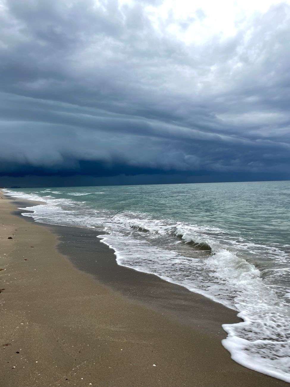
Orange Beach residents who stepped onto the sand before sunrise Thursday found a beach reshaped overnight, as rough surf and steadily rising storm surge pushed ashore under the lingering outer bands of Tropical Storm Bertha. The storm’s center had already tracked farther west offshore, but its reach extended well east of the center, keeping Baldwin County’s beaches in a cycle of gusty winds, choppy waves and climbing water through the pre-dawn hours.
The most striking evidence of the surge came at Cotton Bayou Beach, one of the city’s most popular public access points. By about 3:45 a.m. Thursday, storm surge had climbed to the base of the lifeguard stand, a marker locals use informally to gauge how far the Gulf has pushed up the beach during high-water events. The rising water was strong enough to flip over the beach’s handicap-accessible walking mat, the rolled pathway that stretches across the sand to help visitors with mobility challenges reach the water’s edge. Equipment like the mat is typically staked or weighted to stay in place, so its overturning underscored just how much force the surf was carrying.
A Beach Transformed in the Dark
High winds kept whipping up choppy waves through the night, and a layer of soft, foamy sea spray blanketed the sand just ahead of the rough water, giving the beach an almost fog-like appearance under the darkness. The spray is a signature of strong onshore flow, formed when wind tears the crests off breaking waves and carries the fine mist inland, coating everything from boardwalk railings to parked vehicles near the access roads.
A few miles to the east at Perdido Pass, conditions looked much the same in the pre-dawn hours. The pass, the primary inlet connecting Perdido Bay to the Gulf of Mexico between Orange Beach and Perdido Key, channels and intensifies tidal flow even in ordinary weather, and during storm events it becomes one of the most dramatic vantage points on the island. Waves crashed against the fence and boardwalk running along the water near the bridge, and steady wind gusts made it tough to stay outside for long. Visitors who tried to photograph the conditions found themselves retreating to their cars within minutes, numbed by the wind-driven spray and gusts.
Bertha’s Path Kept the Worst Offshore
The overnight pounding came even as forecasters at the National Hurricane Center tracked Bertha moving slowly west along the northern Gulf Coast. The storm’s heaviest wind and rain stayed offshore and away from Baldwin County’s beaches, sparing the area from the worst of the system even as its broad circulation dragged bands of weather across the coastline. That geometry — center offshore to the west, circulation rotating onshore to the east — is a familiar pattern for Gulf storms, and it typically produces the kind of prolonged onshore flow and elevated water levels that Orange Beach experienced overnight.
Storm surge of this kind is not simply a higher tide. As a tropical system’s winds push Gulf water toward the coast, water piles up against the shoreline and stacks on top of the normal astronomical tide. On a low-lying barrier stretch like the Alabama coast, even a modest surge can reach far up the beach face, flood the base of dunes and overwhelm beach furniture, mats, fences and other fixtures that sit close to the sand. The rise at Cotton Bayou to the lifeguard stand’s base suggested the waterline had advanced well beyond its normal footprint for that hour of the night.
Safety Guidance as Conditions Linger
Coastal officials continued to urge anyone headed to the coast to check posted flag conditions and follow guidance from local beach safety patrols before entering the water. Double-red flags, when posted, mean the water is closed to the public, and during storm events like this one the flags are changed to reflect the actual hazard rather than the calendar. Rip currents, the narrow channels of fast-moving water that pull swimmers away from shore, become more numerous and more powerful when waves are large and frequent, and they can persist for days after a storm’s winds subside.
Rough surf, storm surge and gusty winds were expected to linger around Orange Beach and neighboring Gulf Shores until Bertha pulled farther away from the coastline and the onshore flow relaxed. Until then, officials asked beachgoers to stay out of the water, keep clear of the surf zone, and remember that conditions that look manageable from the sand can change quickly as each new wave set arrives. For a coastal community still early in its summer season, the overnight surge served as an early reminder of how quickly the northern Gulf Coast can feel a storm that never makes landfall anywhere near it.
Public works and beach maintenance crews were expected to assess the damage to beach amenities once conditions eased, restoring the accessible walking mat and checking the boardwalk and fencing near Perdido Pass for damage from the wave action. Residents were asked to report any hazards they encounter on the beach, from exposed debris to damaged structures, rather than attempting to clear or repair them on their own while surf remained rough.
Part of the appeal of events like Thursday morning’s surge photographs is the raw evidence they provide of how dynamic a barrier beach can be. Cotton Bayou sits near the western end of the Orange Beach beachfront, close to the Alabama-Florida line and the main public beach parking areas, which makes it one of the first places residents check when the Gulf turns angry. The lifeguard stand there stands as a fixed landmark, and when water reaches its base, the beach has lost a substantial amount of dry sand to the surf.
The handicap-accessible mat that flipped in the surge is part of a broader effort along the Alabama coast to make the beach usable for visitors who cannot easily walk through deep sand. The mats are rolled out seasonally and anchored against the slope of the beach, but they are no match for sustained surge combined with wave run-up. When water reaches them with force, the mats can buckle, roll or lift entirely, and crews generally wait for calm conditions before repositioning them, both for safety and to make sure the sand beneath has not eroded enough to leave a drop-off at the mat’s edge.
Why the Pass Amplifies Conditions
Perdido Pass deserves special mention in any discussion of rough weather on the island. The pass is dredged to maintain navigation between the bay and the Gulf, and the jetties and bridge infrastructure that flank it tend to focus wave energy. During periods of strong onshore wind, waves crossing the bar at the pass mouth grow steeper and closer together, and the boardwalk along the water near the bridge takes the brunt of the spray. Photographers and storm watchers are drawn to the spot precisely because the waves there look larger than elsewhere on the island, but that same attraction is what makes it hazardous — the fencing along the boardwalk exists largely because the water can reach that far in elevated conditions.
The numbing cold of the wind and spray that sent visitors back to their cars is another feature of the pre-dawn pattern. With air temperatures relatively mild and water temperatures in the Gulf climbing through the summer, the chill visitors feel is not from the air or water alone but from the wind-driven spray evaporating on skin, which pulls heat away quickly and can bring on hypothermia-like discomfort even on a warm night. Staying outside in those conditions for more than a few minutes is uncomfortable for anyone, which is why the parking lots and the bridges above the pass tend to collect storm watchers rather than the beach itself.
What Comes Next for the Coast
Forecasters continued to watch Bertha’s slow westward track, a path that keeps the storm’s core over open Gulf water rather than over the populated stretches of the northern coast. That track is favorable for Baldwin County in terms of wind damage, but it also prolongs the period of onshore flow, since the storm’s counter-clockwise circulation continues to push water and waves toward the Alabama shoreline for as long as the center remains within a few hundred miles to the west. Each hour of that flow adds to the surge and to the wave energy reaching the beach.
Beach safety patrols in Orange Beach and Gulf Shores adjust their flag postings and staffing in response to those conditions, and during elevated-surf events they often limit access not just to the water but to sections of the beach itself where the sand has been undermined or where debris has washed ashore. Visitors unfamiliar with the flag system can find it posted at each major public access point, and lifeguards and patrol vehicles are generally positioned at the busiest accesses during daylight hours to answer questions and enforce closures.
For residents, the practical advice in a situation like Thursday’s is straightforward: stay off the beach until the surge subsides, avoid driving through any standing water on the low-lying access roads near the pass, and give crews room to work once they begin cleaning up. The mats, fences and boardwalks will be repaired and reset, and the sand that migrated offshore during the surge will gradually return with the calmer, longer-period waves that follow a storm’s departure. In the meantime, the images from Cotton Bayou and Perdido Pass — water at the lifeguard stand, spray blanketing the sand, waves against the boardwalk — are a useful record of what a storm staying well offshore can still do to a beach when its outer bands linger overhead.