

Tropical Storm Bertha came ashore in Saint Bernard Parish, Louisiana, early Wednesday and has begun to weaken as it tracks west toward central Louisiana and Texas. Although the storm’s center is now pulling away from the region, South Alabama’s coast will keep feeling its effects into Thursday before attention shifts to a new threat: a dangerous, multi-day stretch of heat.
Bertha’s landfall in Louisiana put the storm on a path that spared South Alabama a direct hit while still placing the coastline on the storm’s eastern, wetter side, where onshore flow piles water against the beaches and drags bands of showers across the coast. That geometry explains the odd mix of advisories now in effect: the storm is hundreds of miles away and weakening, yet its remnants keep the Gulf rough, the tides elevated and the surf dangerous along Alabama’s beaches until the system’s influence finally drains away.
The pattern is a familiar one for Gulf Coast residents, who spend every hurricane season watching tropical systems whose worst local effect is not wind but water. Bertha, which formed and came ashore with little warning in an unusually early start to the season, became the second named storm to landfall on the northern Gulf in as many weeks, and its quick life cycle, from tropical depression to landfalling storm in a single day, is a reminder of how fast these systems can develop close to shore when conditions align.
Surf, tides and rip currents
A High Surf Warning remains in effect for the coast until mid-afternoon Thursday as dangerous wave conditions continue. Swimmers and beachgoers are urged to stay out of the water and away from piers until conditions improve. High surf of the kind generated by a passing tropical system knocks swimmers off their feet in waist-deep water, sweeps beach gear and children into the surf zone, and produces the breaking waves against jetties and piers that account for a steady share of coastal injuries every season, even among people who never intended to enter the water.
A Coastal Flood Advisory is also in place for early Thursday morning, with tides expected to run slightly above normal. Residents in low-lying coastal areas of Mobile and Baldwin counties should keep an eye on rising water and be ready for minor flooding. The areas most affected are the usual candidates: low-elevation streets along Mobile Bay and the delta, parking lots and roads near the shoreline in communities from Bayou La Batre to Gulf Shores, and the low stretches of coastal highways where water pools at high tide. Minor coastal flooding of this kind rarely threatens homes, but it makes some roads impassable at high tide and can strand vehicles that drivers misjudge in the dark.
Rip currents remain a serious concern as well. A High Rip Current Risk will persist through Thursday before easing to a moderate risk on Friday. Even strong, experienced swimmers should avoid entering Gulf waters while the risk remains elevated. Rip currents are the deadliest hazard on Alabama’s Gulf beaches, claiming swimmers in conditions that look deceptively calm from the sand; the channels of water pulling seaward through the sandbars do not drag victims under but carry them out, and panic and exhaustion do the rest. The standard guidance applies with special force during a high-risk window: swim near a lifeguard where one is posted, obey the double red flags that mean the water is closed, and if caught in a current, stay calm, float and swim parallel to shore until free of the pull.
Rain finally moving out
On the rain side, scattered showers are expected to continue overnight Wednesday with roughly a 40% chance of rain. Rain chances will drop off sharply Thursday as Bertha moves farther from the area, and Friday should bring much drier conditions. The bands of rain that swept across Mobile and Baldwin counties as the storm approached will give way to the ordinary summer pattern, with the atmosphere settling back toward its typical late-spring rhythm of morning sun and isolated afternoon storms.
The drying has practical consequences beyond the obvious. soggy ground from repeated rain bands delays the coast’s recovery from the elevated tides, since saturated soil drains slowly and standing water lingers in low spots. Golf courses, farms and nurseries across the two counties, not to mention the construction sites that dot the fast-growing corridors along the Eastern Shore and Highway 98, will welcome the Friday break, and municipal crews will use the dry stretch to catch up on the storm drains and debris that heavy rain exposes.
The heat takes over
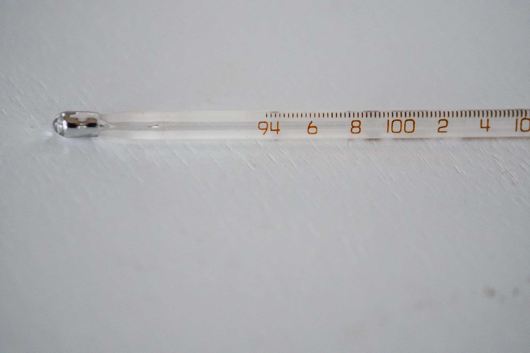
As Bertha’s influence fades, forecasters say dangerous heat will move in to dominate the pattern. Highs are expected in the low 90s Thursday and Friday, with an isolated shower still possible. Temperatures then climb further, reaching the mid-90s Saturday and the upper 90s Sunday. The heat index, how hot it actually feels outside, is forecast to climb above 105 degrees over the weekend, a level that can be dangerous with prolonged outdoor exposure.
Conditions are expected to become even more extreme early next week. Highs could reach the upper 90s to near 100 degrees, with heat index values potentially topping 110 degrees. For South Alabama, where humid Gulf air makes the perceived temperature soar well past the thermometer reading, heat indices above 105 trigger the advisories that outdoor workers, athletic programs and school systems plan around. At those levels, heat exhaustion can develop in under an hour of exertion, and heat stroke, a medical emergency, becomes a real risk for anyone without shade, water and rest.
The safety guidance bears repeating every time the pattern arrives. Drink water before thirst sets in, take breaks in air conditioning or deep shade, and schedule outdoor work and exercise for the early morning hours. Check on elderly neighbors and relatives, since heat kills older adults living without adequate cooling at higher rates than any other group. And never leave children or pets in a parked vehicle, where interior temperatures can reach lethal levels in minutes; it is among the most persistent and preventable of summer tragedies along the Gulf Coast.
The flag system and beach safety
Alabama’s beaches use the uniform coastal warning flag system, and the flags flying along the Gulf Shores and Orange Beach public beaches this week told the story plainly: red flags for high hazard during the peak of the surf, returning to yellow only as the risk eases. Lifeguards and beach patrol officers enforce the flags, and entering the water on double red can bring fines as well as danger. Visitors arriving for late-spring weekends, when the beaches draw their first big crowds of the season, often meet the flag system for the first time on a day like Thursday, which is exactly when the beach patrol’s messages about rip currents do their most important work.
The geography of the Alabama coast matters in how these advisories land. Gulf Shores and Orange Beach host the bulk of the tourism, with hundreds of thousands of visitors over a warm-weather weekend, while Dauphin Island and the Fort Morgan peninsula draw smaller but still substantial crowds. Each year the rip current rescues cluster where the crowds are, and the Gulf Shores beach patrol’s rip current rescues in a single season run into the hundreds, most of them visitors who underestimated the pull. A high-risk day with rough surf left over from a tropical system is precisely the setup for those statistics, which is why officials pair the warning with the plain instruction to stay out of the water entirely.
Watching the season ahead
The transition from tropical storm cleanup to heat advisory frames the start of the long Gulf Coast warm season, when the same pattern, moisture, heat and a watchful eye on the tropics, repeats from late spring into autumn. Forecasters will spend the coming months tracking the waves that roll off West Africa and the systems that spin up closer to home, and South Alabama’s coastal communities, from Bayou La Batre’s shrimp fleet to the condominium towers of Orange Beach, live by the seasonal rhythm of watches and warnings.
The practical takeaway from the Bertha episode is the one emergency managers repeat every year: the coast’s most common tropical threat is rarely the landfalling hurricane but the glancing blow, the storm that passes close enough to pile up the water and rough the surf while the center stays away. Bertha’s sweep through the Gulf, landfall in Saint Bernard Parish and exit toward Texas, cost South Alabama its beaches for two days and its comfort for a week, and nothing more, but only because residents heeded the advisories that bridged the storm’s departure and the heat’s arrival.
By early next week, with heat indices near 110, the region will be managing a different hazard with the same tools: warnings, common sense and attention to the vulnerable. The waters will calm as Bertha’s swell fades into the ordinary Gulf chop, the flags will drop to yellow, and the crowds will return to the sand, while inland the air conditioning hums against a heat dome that promises one of the hotter stretches of the young season. From tropical storm to heat advisory in a single week is, for South Alabama, simply the shape of the season to come.