

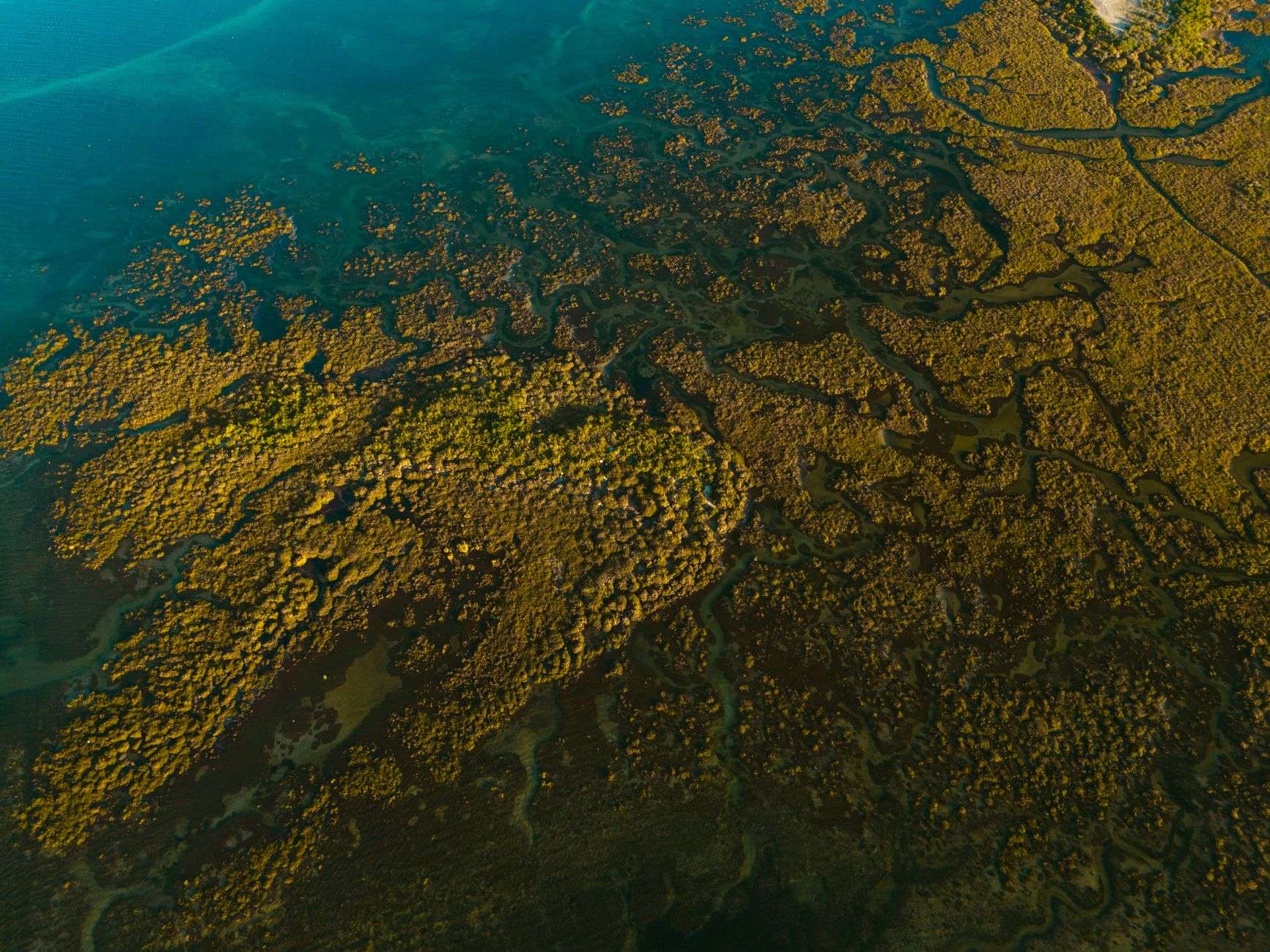
BAYOU LA BATRE, Ala. — Three coastal projects that will shape how Mobile County’s shoreline holds up over the next several decades are all in the ground at once, and Mobile County director of environmental services Tina Sanchez laid out where each one stands.
The list: the Dauphin Island Causeway Restoration, the Salt Aire Shoreline Restoration and the Cedar Point Boat Ramp.
Dauphin Island Causeway: Two Phases Down, One to Go
The Causeway project is among the largest and most significant investments in Alabama coastal restoration. It is backed by Gov. Kay Ivey and the Alabama Department of Conservation and Natural Resources.
What it protects is not abstract. The Causeway is Dauphin Island’s only access road. The project is also built to protect roughly 300 acres of salt marsh habitat and to restore and rebuild the shoreline itself.
The work was divided into three phases, two of which are finished.
Phase one constructed segmented breakwaters along the Causeway — offshore structures that break incoming wave energy before it reaches the shoreline. Phase two placed dredge material in the sheltered water between those breakwaters and the Causeway, building the platform on which new marsh can grow.
Phase three is the finishing work, and it is waiting on physics.
“So, all that material is in place now,” Sanchez said. “It’s settling while the engineers of record, Moffatt and Nichol, finalize the bid specs for the phase three task, which is to level it out after it’s settled, cut in some tidal creeks and plant some marsh plantings.”
The sequence is deliberate. Newly placed dredge material compacts and settles over months, and its final elevation determines whether the site becomes functioning marsh or open water. Grading and planting before settling is complete risks putting vegetation at the wrong height relative to the tide — a problem that is expensive to correct after the fact.
The tidal creeks in phase three are not decorative either. They carry water in and out of the marsh platform on each tide, which is what allows the interior of a marsh to drain and stay healthy rather than turning into a stagnant flat.
Sanchez said the project will focus on turbidity control as it continues, and that completion is expected in 2027.
Salt Aire: 415 Feet of Shoreline Lost Since the 1930s
Construction on the Salt Aire Shoreline Restoration project began in April and is expected to take 10 months, weather permitting.
The scale of the erosion explains the intervention. According to the Mobile County Commission, the Salt Aire marsh has lost about 415 feet of shoreline since the 1930s. That is the better part of a century of steady retreat.
The project is designed to restore and protect marsh habitat and the species dependent on it that were injured by the Deepwater Horizon oil spill.
Material excavated from access channels during construction is being placed in temporary banks. At the end of the project, that material will either be degraded or placed within the restoration area — meaning the spoil generated by the work is folded back into the finished product rather than hauled off.
“It’s underway right now,” Sanchez said. “Material is being placed to restore about 30 acres of marsh after the breakwaters are built. It’ll look very much like the Causeway project, quite frankly.”
The Mobile County Commission secured funding for the work from the National Fish and Wildlife Foundation’s Gulf Environmental Benefit Fund, one of the channels through which Deepwater Horizon settlement money flows into Gulf Coast restoration.
Cedar Point Boat Ramp: $6.5 Million and an Oyster Station
The Cedar Point Boat Ramp project got underway June 29 and is expected to take a year.
The $6.5 million job includes a two-lane boat launch and finger piers built to improve access and safety for the area’s commercial oyster industry. Finger piers matter to working boats specifically: they let crews tie off and load alongside a vessel rather than fighting it at a bare ramp.
The parking design reflects who the facility is for. The lot will accommodate 38 truck-trailer spaces and 25 single-car spaces — a ratio weighted heavily toward people arriving with a boat behind them.
The site will also include an ADCNR Marine Resources Division oyster management station.
“I think it’s going to be a great asset for the community, and I look forward to it being open next summer and there being a place for Marine Resources to have the oyster management station going forward,” Sanchez said.
The project is funded by a state GOMESA grant awarded by Ivey. GOMESA — the Gulf of Mexico Energy Security Act — directs a share of federal offshore energy revenue to Gulf states for coastal conservation, restoration and infrastructure.
Why They Read as One Program
Sanchez’s own comparison of Salt Aire to the Causeway project — “it’ll look very much like” it — is the most useful line for understanding what Mobile County is doing here. The same technique is being applied at multiple sites: build breakwaters to take the wave energy, place material behind them, let it settle, then plant it.
The Cedar Point ramp is a different kind of project, but it serves the same coastline and the same industry. An oyster fishery needs functioning marsh to produce and a working place to launch from. The county is building both at once.