

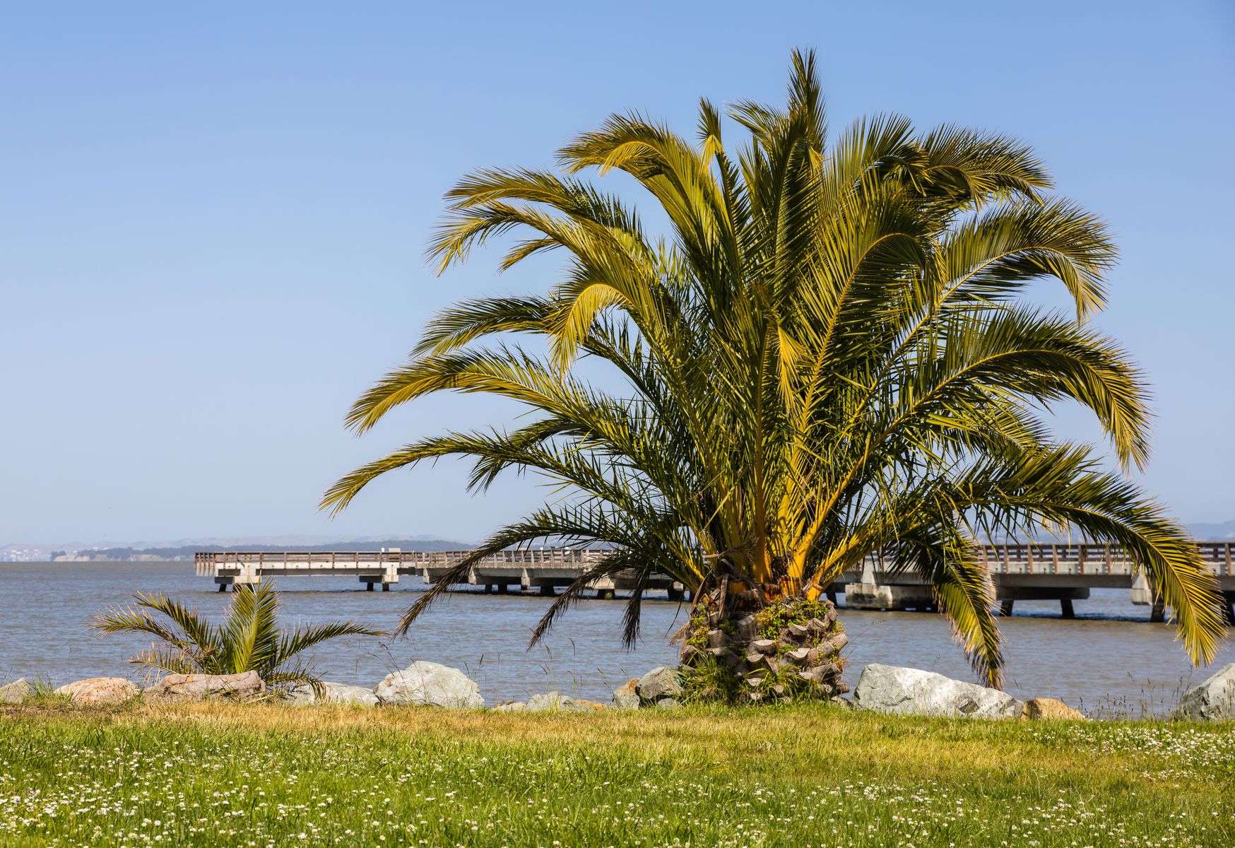
On a stretch of Mobile Bay shoreline that has hosted a French colonial estate, a Confederate-era fort, a beloved amusement park, a military air depot and a working seaport, a group of local history advocates spent the winter of 2010 building support for the site’s newest chapter: a restored public waterfront park. Friends of Arlington Park, led by Allen and Lucy Perkins, has been working to promote the revived Arlington Park at Garrows Bend, drawing on nearly three centuries of layered history to make the case that the property deserves a renewed life as public green space.
The effort comes as construction on a new waterfront park at the site got underway in 2009, following years of advocacy from preservation-minded Mobilians who trace the property’s civic importance back to the earliest days of European settlement on the Gulf Coast.
A Site Shaped by Empire, Storm and Industry
According to the timeline compiled by Friends of Arlington Park, the land’s recorded history begins in the 1730s, when French colonial founder Jean-Baptiste Le Moyne de Bienville built a residence, referred to in early records as his “Chateau,” in the area now known as Garrows Bend. Bienville, credited as the founder of both Mobile and New Orleans, was a central figure in France’s colonization of the Gulf Coast in the early eighteenth century, and Mobile served for a time as the capital of French Louisiana before the seat of government moved to Biloxi and later New Orleans.
By 1818, not long after the United States took formal control of the Mobile area following the War of 1812, Captain Monroe arrived and built a house on the property, according to the timeline. The bayfront location would remain in private and civic hands for the rest of the nineteenth century, shaped by the city’s growth as a cotton port and later as a broader shipping hub. Maps from 1835 and 1856 show early transportation routes crossing the property, including a proposed Bay Front Road and the Plank Bay Road, a wooden-plank thoroughfare running from Lawrence to what is now Duval Street. Plank roads were a common, if short-lived, solution to the region’s sandy and often swampy terrain in the decades before asphalt paving became standard.
During the Civil War, the site took on a defensive role. Fort Sidney Johnston, built in the 1860s, formed part of the ring of fortifications protecting Mobile, one of the last major Confederate ports to fall to Union forces in 1865. Mobile’s extensive network of coastal defenses, including the more famous Fort Morgan and Fort Gaines at the mouth of Mobile Bay, made the city one of the most heavily fortified points on the Gulf Coast during the war, and smaller inner-harbor works like Fort Sidney Johnston supplemented that larger defensive perimeter.
From Fortification to Recreation
As Mobile’s port continued to grow in the late nineteenth century, the channel at Choctaw Point was dredged to 13 feet in 1876, part of a broader push to deepen the harbor for larger commercial vessels. By 1888, a 20-foot channel had been completed, and maps from that year show the Frascati resort and Bay Shell Road, both popular waterfront destinations for Mobile residents at the time.
The property’s recreational identity took firmer shape in the 1890s. A hurricane leveled Frascati in 1893, but that same year Monroe Park was founded as a destination for the city’s expanding streetcar system, a common pattern in American cities of the era, where transit companies developed amusement parks and recreation areas at the far end of their lines to boost ridership on evenings and weekends. Monroe Park quickly became a civic gathering point: in 1897, Mobile’s first motion picture screening took place there, reflecting how quickly the young medium of film spread to cities across the country after its commercial debut earlier that decade.
The park’s fortunes rose and fell with the Gulf Coast’s hurricane cycles, a recurring theme throughout the property’s history. A 1906 storm washed away Bay Shell Road, prompting the Mobile Yacht Club to relocate to Monroe Park. The site became a hub of local sporting life in the years that followed. By 1913, attendance at Mobile Sea Gulls baseball games there reached 100,000 for the season, a significant draw in an era before radio and television offered competing entertainment, and one that speaks to the central role minor league baseball played in early twentieth-century Southern civic life.
Storms continued to reshape the property. A 1916 hurricane destroyed the Mobile Yacht Club and many of Monroe Park’s buildings, wiping out every house between Bay Avenue and Bay Shell Road. Yet the site’s recovery, and its pull on the community, proved durable. In 1924, according to the timeline, Babe Ruth hit a home run at Monroe Park, a detail that fits with the broader pattern of major league teams and barnstorming players touring Southern ballparks during spring training and off-season exhibition tours in the 1910s and 1920s. A 1926 hurricane again destroyed buildings at Garrows Bend, this time prompting the local ballclub to relocate its stadium to Ann and Tennessee streets.
Military and Industrial Transformation
The property’s character shifted decisively in the 1920s and 1930s as Mobile’s port and military infrastructure expanded. State Docks, the public port facility that remains central to Mobile’s economy today, was authorized in 1923. In 1936, Fort Whiting was constructed on the southeast corner of the fairgrounds, and by 1940 construction had begun on the Southeast Army Air Depot, which would later become Brookley Field, later still known as Brookley Air Force Base.
Brookley grew into one of Mobile’s largest employers during World War II and the Cold War decades that followed, reaching peak employment in 1942 as the depot supported the broader war effort. Brookley Field would go on to become one of the most significant chapters in the site’s twentieth-century history, employing tens of thousands of Mobilians over its lifespan before its eventual closure. That civilian and military footprint gradually displaced the recreational identity the property had held for decades. By 1946, Monroe Park was no longer listed in the local phone book, a quiet marker of its fade from the city’s daily life. The completion of the Causeway in 1959 cut off some of the remaining public access to the waterfront in the area, further diminishing the site’s role as a gathering place.
Brookley Field itself closed in 1969, at which point title to the Brookley wharf at the old Arlington Park site passed to the City of Mobile, beginning a decades-long process of transferring and repurposing the land. Base closures like Brookley’s were common across the country in the postwar decades as the military consolidated operations, and many communities faced similar questions about how to repurpose large tracts of formerly restricted federal land for civilian and commercial use.
Decades of Industrial and Civic Transition
The 1970s brought further industrial development, with the construction of the McDuffie coal terminal, a major bulk-handling facility that remains part of the Alabama State Port Authority’s operations. During this period, State Docks began acquiring the tract stretching from Armstrong Industries to Duval Street through a combination of condemnation and direct purchase, consolidating the port’s footprint along that stretch of the bay.
Ownership of the Arlington pier itself continued to shift in the 1980s, passing first to the city and then to the Mobile Airport Authority, which also took possession of the city’s remaining interest in the former Brookley property. The Mobile Airport Authority has continued to play a central role in redeveloping the former Brookley Field property in the decades since, overseeing what is now known as the Mobile Aeroplex at Brookley, a mixed-use aviation and industrial complex.
Civic interest in restoring public waterfront access to the area resurfaced in the 1990s. In 1995, then-Mayor Mike Dow proposed the Monroe Park site as a location for what would become Hank Aaron Stadium, home of Mobile’s minor league baseball team. That same year, the Crepe Myrtle Trail was proposed for the area, and State Docks completed its land acquisition along the tract. The stadium proposal ultimately located elsewhere, but the renewed attention to the site’s recreational potential helped set the stage for the preservation push that followed.
A Grassroots Push for Restoration
In 2002, local residents formed the Committee to Restore Historic Monroe Park, formalizing years of informal advocacy for reclaiming a piece of the historic waterfront for public use. That committee’s work, and the broader community interest it represented, laid the groundwork for the more recent organizing done by Friends of Arlington Park under Allen and Lucy Perkins.
Community preservation groups of this kind typically operate by researching a site’s documented history, building relationships with the public agencies that control the land, and rallying public and political support for a specific reuse plan, whether that means a designated historic district, a restored building or, as in this case, a public park. In Mobile, where waterfront land has passed through French colonial, Confederate military, private recreational, federal military and public port ownership over the centuries, the Arlington Park site stands out as an unusually complete record of the region’s layered history, from Bienville’s eighteenth-century outpost to the Cold War-era air depot to today’s working seaport.
That advocacy bore fruit in 2009, when construction began on the new waterfront park envisioned for the site. For a piece of ground that has weathered hurricanes in 1893, 1906, 1916 and 1926, seen a Confederate fort rise and fall, hosted Babe Ruth and thousands of minor league baseball fans, and supported a major military air depot through two world wars, the return of public green space represents both a return to the property’s roots as a community gathering place and a fresh chapter in a history that spans nearly three hundred years.
Why the History Matters
Local historians and preservationists often note that waterfront sites like this one carry an outsized share of a city’s collective memory precisely because they have been used and reused by so many different generations for so many different purposes. Bay-front land in a working port city is rarely left vacant for long, and the succession of uses at Garrows Bend, from colonial residence to wartime fortification to streetcar amusement park to military depot to port facility, mirrors Mobile’s own evolution from a colonial trading post into one of the busiest ports on the Gulf Coast.
For groups like Friends of Arlington Park, documenting that layered history serves two purposes: it builds a public record that can support historic designation or interpretive signage at a restored park, and it makes the case to city and port officials that public access to at least part of the working waterfront carries real civic value. As construction on the new park continued in 2010, the Perkins-led group’s timeline stood as both an argument for the site’s significance and a record of just how much of Mobile’s history has unfolded on that single stretch of bay.