

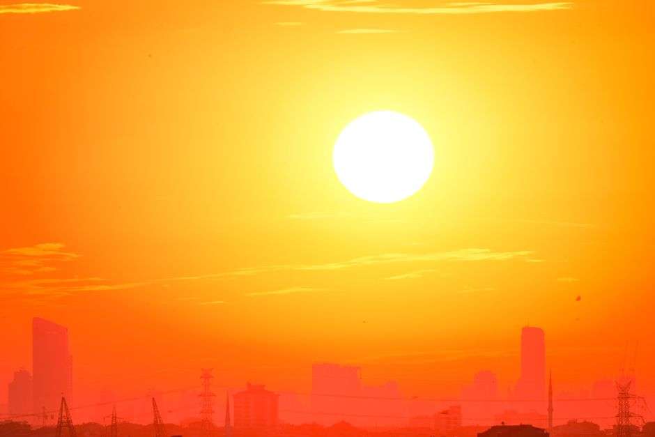
Update: The National Weather Service has issued a Heat Advisory for Monday and Tuesday across South Alabama, with an Extreme Heat Warning in effect Tuesday for coastal communities, where heat index values could climb as high as 110 to 115 degrees during peak afternoon hours. Forecasters say Tuesday is on pace to be the hottest day of the stretch, with highs near or above 100 degrees possible away from the coast.
Heat remains the top weather concern along the Gulf Coast, with forecasters warning that dangerously high heat index values will continue through the coming week. Afternoon temperatures in the lower to middle 90s, combined with tropical humidity, are expected to push heat index readings into the 103- to 108-degree range each afternoon.
The distinction between the two alerts matters for how seriously to treat the week. A Heat Advisory signals conditions dangerous to anyone exposed for extended periods; an Extreme Heat Warning is the rarer, higher tier, reserved for heat so intense that it threatens even those who are cautious — the level at which heat illness can develop quickly and emergency departments see the bulk of their warm-weather cases. For coastal Mobile and Baldwin county communities to reach that tier says the atmosphere itself, not just the sun, is delivering the load: dew points in the middle 70s turn sweat from a cooling system into a losing battle.
Forecasters are urging residents to take precautions: drink plenty of water even without feeling thirsty, take frequent breaks during outdoor work, wear lightweight and light-colored clothing, never leave children or pets inside parked vehicles, check on elderly neighbors and anyone without reliable air conditioning, and limit strenuous outdoor activity between roughly noon and 6 p.m., the hottest stretch of the day.
The parked-car warning deserves its own emphasis. A vehicle in the sun can gain roughly 20 degrees of interior temperature in ten minutes, and on a 95-degree afternoon that math reaches lethal levels for a child or pet in well under an hour. Gulf Coast emergency crews respond to these calls every summer, and every case is preventable.
Even healthy adults can develop heat-related illness after prolonged exposure, and forecasters are encouraging residents to know the warning signs of heat exhaustion and heat stroke and move indoors immediately if symptoms appear. Heat exhaustion announces itself with heavy sweating, weakness, dizziness, nausea and headache; the step beyond it, heat stroke, is a medical emergency marked by confusion, a rapid pulse and skin that has gone hot and dry — the body’s thermostat failing at temperatures where every minute counts.
Local agencies adjusted routines accordingly. Outdoor municipal work shifts toward the early hours when advisories like these are posted, youth sports leagues move practices to evening and shorten drills, and senior centers and outreach groups make a particular push to check on residents whose air conditioning is unreliable — the population that accounts for a disproportionate share of heat deaths along the Gulf Coast every summer. Utility crews brace for the demand spike that accompanies the heat, since air conditioners running flat-out in the afternoon can strain the grid precisely when the heat index peaks.
Warm Nights, Patchy Fog and Afternoon Storms
Overnight conditions will stay warm and humid, with temperatures only falling into the middle to upper 70s by daybreak and dew points remaining well into the 70s. Areas that see rain during the day could see patchy fog develop early the following morning, though widespread dense fog is not expected.
The warm nights are more than an inconvenience — they are a health variable in their own right. The human body cools most effectively when overnight temperatures drop far enough to release the day’s accumulated heat, and when lows stay in the upper 70s with tropical dew points, homes without air conditioning never get the recovery window. Public health officials count consecutive warm nights as carefully as daytime highs for exactly that reason, and South Alabama’s stretch offers no relief after dark.
Daytime heating and a weak sea breeze will continue to spark scattered afternoon showers and thunderstorms, though not everyone will see rain. Any storm that develops will be capable of frequent lightning, brief heavy downpours, wind gusts between 30 and 45 mph, and localized ponding on roadways.
The daily storm pattern is the Gulf Coast’s midsummer routine: the sea breeze pushes inland from the Gulf each morning, collides with the heated air over the interior by mid-afternoon, and pops storms along the collision line. Coverage stays scattered rather than widespread, meaning some neighborhoods get drenched while others stay dry and sweltering — and the rain that does fall barely dents the humidity driving the heat index.
Drivers should note the ponding risk in particular. Summer downpours can drop an inch of rain in twenty minutes, and the region’s low-lying roadways collect water quickly; the standard advice — turn around, don’t drown — applies to the afternoon storm threat just as it does to a tropical system.
The Week Ahead
Looking further ahead, the broader weather pattern is expected to change little through much of the week, with high pressure holding firm across the southern United States while lingering Gulf moisture fuels daily sea-breeze storms. Expect high temperatures generally in the lower to middle 90s, overnight lows in the middle to upper 70s, afternoon rain chances of roughly 30-50%, and heat index values consistently between 103 and 108 degrees.
While widespread severe weather is not expected, any stronger storm could briefly bring gusty winds, dangerous lightning and very heavy rainfall. The routine nature of the pattern is precisely what makes it dangerous — the storms look ordinary, and ordinary Gulf Coast thunderstorms still kill with lightning strikes and capsize boats on the Bay every year.
Outdoor work crews, road pavers and utility line technicians face the week’s hardest calculus: the same afternoon heat that endangers them is the engine of the storms they must also dodge. Employers are encouraged to shift the heaviest labor to the early morning hours, provide shaded rest cycles and keep water on site, and the state’s occupational safety guidance treats the heat index — not the thermometer — as the number that matters for scheduling.
At the beach, water temperatures remain in the middle to upper 80s, and visitors are urged to check posted beach flags before entering the water. Afternoon sea breeze storms can develop quickly, and anyone on the sand or on the water should head indoors immediately if thunder is heard.
The warm Gulf water is a mixed blessing. It draws crowds to Alabama’s beaches in the peak vacation weeks, but bathwater sea temperatures also feed the atmospheric moisture that keeps the heat index elevated inland, and the combination of crowded sand and fast-building afternoon storms compresses the safe window for swimming into the morning hours. Lifeguards and beach safety officials recommend treating the first rumble of thunder as a hard deadline — lightning can strike from a storm cell as far as ten miles away, before the sky overhead darkens.
UV levels remain very high, so sunscreen, hats, sunglasses and frequent hydration are strongly recommended. Along the northern Gulf, midsummer UV indexes regularly reach the top of the scale, and fair-skinned visitors can burn in under 15 minutes at midday. Sunscreen with a high SPF, reapplied after swimming, covers only part of the risk; shade, wide hats and timing outdoor activity before ten in the morning do the rest.
In the tropics, the Atlantic Basin remains quiet, with no organized systems currently expected to threaten the central Gulf Coast in the coming days. Forecasters monitor the basin daily through the heart of hurricane season, but for now the story along the coast is the heat itself — the rarest kind of Gulf Coast weather event, one that requires no landfall, no wind and no rain to send people to the hospital.
The practical takeaway for the week is simple and local: move the yard work and the jogging to dawn, keep water within reach, check on the neighbors who live alone, and treat the afternoon heat index as the real temperature. The Gulf Coast has lived with heat for as long as there has been a Gulf Coast, but this stretch earns the warnings it is getting.
For boaters and anglers on Mobile Bay and the delta, the week’s pattern adds one more layer of caution. The same sea-breeze boundary that fires the afternoon storms can build quickly over open water, and a boat caught under a cell faces lightning, blinding rain and sudden gusts all at once. The standard guidance is to plan the return trip before noon, watch the western horizon for the day’s first towering clouds, and treat any bolt-from-the-blue strike as the closing bell for the day on the water.