

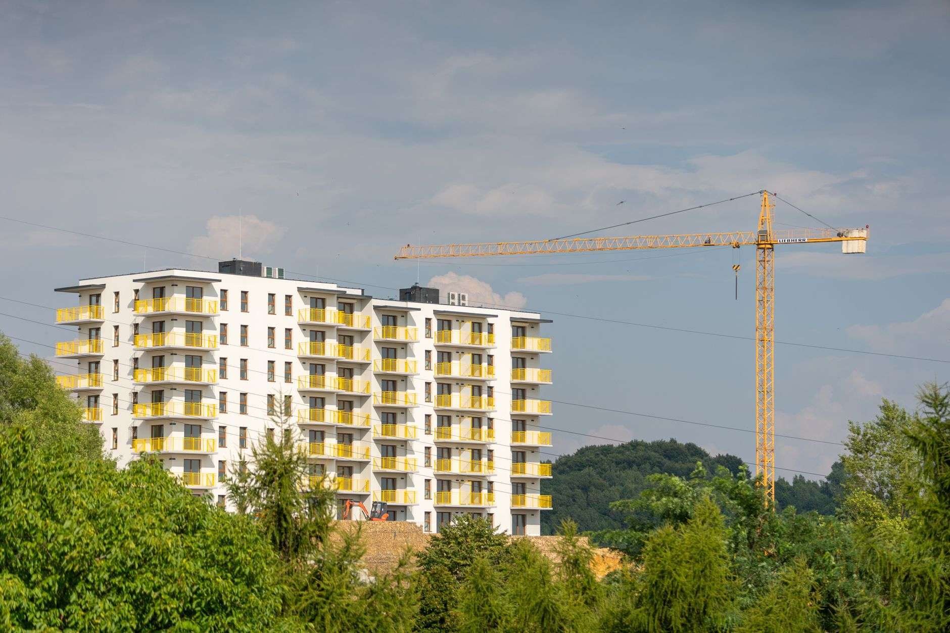
FOLEY, Ala. — A proposal to build 336 apartments on nearly 25 acres near the Foley Beach Express heads a crowded agenda before the Foley Planning Commission, which is set to hold a work session at 4 p.m. Wednesday, Sept. 16, followed immediately by its regular meeting. Both sessions take place in the Council Chambers at Foley City Hall, 407 E. Laurel Ave.
The apartment plan is the largest item on a list that also includes a fourth phase of the Magnolia Walk subdivision, a new storage building at the Collins Aerospace plant, an office addition for Foley OBGYN, three minor subdivision plats and a staff-led discussion of proposed revisions to the city’s subdivision regulations. Taken together, the agenda is a fair snapshot of what governing the fastest-growing city in Baldwin County looks like on an ordinary Wednesday afternoon.
336 Apartments North of County Road 20
The multifamily project was engineered by Hagen Engineering and sits within the Magnolia Park Planned Development District, north of County Road 20 near the Beach Express. As described on the agenda, the layout calls for three-story apartment buildings, a clubhouse, a poolhouse and dedicated open space, with natural buffers preserved around the community.
At 336 units on roughly 25 acres, the development would land at a density well above the detached single-family subdivisions that have absorbed most of south Baldwin County’s growth over the past two decades. That is not accidental. The Beach Express corridor connects the Interstate 10 area to Gulf Shores and Orange Beach, and the stretch north of County Road 20 has become one of the most actively developed pieces of ground in the county precisely because it offers highway access without requiring a trip through downtown Foley.
Apartments also address a gap that local officials and employers have discussed for years. South Baldwin’s economy leans heavily on tourism, retail, health care and manufacturing, all of which depend on workers who need housing they can rent rather than buy. Whether this particular project is the right answer in the right place is exactly the question the Planning Commission exists to weigh.
What a Planned Development District Actually Does
Because the apartments fall inside the Magnolia Park Planned Development District, the review works differently than it would for a straightforward rezoning. A Planned Development District — PDD for short, and sometimes called a PUD elsewhere — is a zoning tool that replaces a standard district’s fixed rules with a negotiated master plan for a specific piece of property.
Under conventional zoning, a parcel carries a district label, and that label dictates what may be built there: permitted uses, minimum lot sizes, setbacks from property lines, building heights, parking counts. A PDD sets those terms parcel by parcel instead. The developer submits a plan showing how the land will be laid out, and the city council, acting on a recommendation from the Planning Commission, adopts that plan as the zoning for the property. The approved plan becomes the rulebook.
The trade is straightforward in principle. The developer gains flexibility — the ability to mix housing types, cluster buildings, vary setbacks, or put commercial space next to residential in ways a single-use district would forbid. The city gains commitments it could not otherwise require, such as preserved open space, landscape buffers, internal street connections, drainage improvements or amenity packages. Once adopted, those commitments are enforceable.
The practical consequence for a project like this one is that the commission is not asking whether apartments belong on the site in the abstract. It is asking whether the submitted layout conforms to the development standards already established for the Magnolia Park PDD, and whether the engineering behind it — stormwater, access, circulation, utilities — holds up.
Magnolia Walk Phase 4 and the Plat Process
Commissioners will also review preliminary plans for the fourth subdivision of Magnolia Walk, covering 89.2 acres north of County Road 20 and east of the Foley Beach Express — the same general corridor as the apartment proposal.
The word “preliminary” is doing real work there. In Alabama municipalities, dividing land into lots for sale or development runs through a platting process, and the plat is the legal drawing that creates those lots. A preliminary plat is the first formal step. It shows proposed lot lines, street layouts, drainage and stormwater facilities, utility easements, open space and how the new streets will tie into the existing network. Approval of a preliminary plat is not permission to sell lots. It is the city’s sign-off on the design concept, usually with conditions attached, allowing the developer to move forward with engineering and construction of infrastructure.
Only after streets, drainage and utilities are built — or financially guaranteed through a bond or letter of credit — does the developer return with a final plat. That document, once approved and recorded with the probate court, creates the legal lots. Building permits follow from there.
A minor plat is a shortened version of the same idea. Minor subdivisions typically involve a small number of lots, front on existing public streets and require no new roads or extensions of public infrastructure. Because there is far less to review, most cities allow them to skip the preliminary stage entirely and go straight to a single approval. Three of them appear on Wednesday’s agenda.
Three Minor Plats Before the Commission
- Anvil Industries Subdivision — a request to approve a two-lot minor plat on 12.11 acres at the northeast corner of County Road 24 and North Juniper Street.
- Shoots/Stallworth Subdivision — a proposal to divide 3.34 acres into three residential lots west of County Road 65 and north of Dailey Lane.
- Scooter’s Addition to South McKenzie Street — a two-lot commercial plat on six acres west of South McKenzie Street and north of West Michigan Avenue.
Items like these rarely draw a crowd, but they are how a city’s land ownership pattern actually changes. A 12-acre parcel split into two salable tracts, or a three-acre lot turned into three homesites, is a small transaction that becomes permanent the moment the plat is recorded.
Collins Aerospace and Foley OBGYN
The commission will consider a site plan for a 23,445-square-foot storage building for Collins Aerospace at 1300 W. Fern Ave., replacing a layout the city had previously approved. Collins Aerospace operates an aerostructures facility at that address, and it ranks among the larger private employers in south Baldwin County — a reminder that Foley’s economy is not solely a matter of outlet shopping and beach traffic.
Site plan review is distinct from zoning. It does not ask whether a use is allowed; that question is already settled by the property’s zoning. It asks how the building will sit on the land: where vehicles enter and exit, how stormwater is handled, where parking and loading go, how landscaping and screening are treated, and whether the layout meets the city’s technical standards. When a previously approved plan is revised, the commission takes the new version back through the same review.
Also on the agenda is an office addition for Foley OBGYN on West Peachtree Avenue. According to the agenda, the addition would expand the medical facility beyond 10,000 square feet. Medical office expansion has followed population growth across Baldwin County, and Foley in particular has added specialty practices steadily as its year-round population has climbed.
Rewriting the Subdivision Rules, and What ‘Place Types’ Means
The work session preceding the regular meeting is reserved for city staff to walk commissioners through proposed revisions to Foley’s subdivision regulations. Four changes are identified on the agenda:
- Replacing references to the Land Disturbance Ordinance with references to the city’s Technical Design Manual.
- Clarifying street-frontage standards.
- Refining civic open-space requirements.
- Incorporating Place Types from the 2025 Comprehensive Plan.
The first three are housekeeping in the best sense — the kind of cleanup that prevents arguments later. Consolidating engineering requirements into a single technical manual means a developer and a city engineer are reading from the same document rather than reconciling an ordinance with a separate standards book. Street-frontage rules determine whether a newly created lot has legal, buildable access to a public road, which is one of the most common sources of platting disputes. Civic open-space provisions govern how much land a subdivision must set aside for shared use and what actually counts — a detention pond and a usable neighborhood green are not the same thing, and the difference lives in the definitions.
The fourth item is the substantive one. Place Types are a planning device that has largely displaced the old color-coded future land use map in contemporary comprehensive plans. Rather than labeling ground by use alone — residential, commercial, industrial — a Place Type describes the intended character of an area: how dense it should be, how buildings should relate to the street, what mix of uses belongs there, how walkable it should feel, how much open space it should carry.
A comprehensive plan, on its own, is advisory. It states where a city wants to grow and what it wants that growth to look like, but it does not regulate anything. Zoning ordinances and subdivision regulations are what regulate. When a city writes its plan’s Place Types into its subdivision regulations, it closes the gap between the two — so that a subdivision proposed in an area the plan designates as a walkable neighborhood center is reviewed against standards written for that kind of place, not against a single set of rules applied identically citywide.
For developers, that shift generally means more predictability: the standards a project will face become knowable from the plan before a design is drawn. For residents, it means the plan adopted after months of public meetings has teeth.
A City Growing Faster Than Any Other in Alabama
The volume on Wednesday’s agenda tracks the numbers. U.S. Census Bureau estimates released this year showed Foley growing nearly 8 percent between July 2024 and July 2025, ranking it the 14th fastest-growing municipality in the nation among cities with at least 20,000 residents. The city has added roughly 10,000 residents since the 2020 census and now stands as Baldwin County’s second most populous city.
Growth at that pace puts steady pressure on everything a city does. South Alabama News reported this month that the Foley City Council adopted a fiscal year 2027 budget carrying about $18 million in capital projects against roughly $48 million in reserves, with drainage, roads and public safety among the priorities. Days earlier, the council approved a six-month moratorium on data center and crypto-mining applications — not in response to any pending proposal, but to give the city time to write regulations before one arrives.
Both decisions reflect the same instinct visible in the subdivision regulation rewrite: a city trying to set rules ahead of demand rather than after it. The Planning Commission is where that instinct meets specific acres, specific engineers and specific drawings.
What Happens Next
The Planning Commission’s role on most of these items is recommendation and approval within the framework the City Council has already set. Plats and site plans that satisfy the adopted standards are generally approved at the commission level. Items that would change the zoning framework itself — including revisions to the subdivision regulations — move on to the City Council for final action after the commission has worked through them.
Planning Commission meetings in Foley are open to the public, and agendas and supporting materials are posted through the city. Residents who want to weigh in on a specific project are generally best served by appearing at the meeting where the item is heard, since the commission’s review is tied to the record in front of it.