James Spann Warns of ‘Nightmare’ Weekend as Possible Hurricane Threatens Alabama-Georgia Game
Meteorologist James Spann said a possible hurricane could disrupt Saturday’s Alabama-Georgia game in Tuscaloosa, a presidential visit, a Zach Bryan concert at Auburn and the National Shrimp Festival, calling moving the game “clearly on the table.”
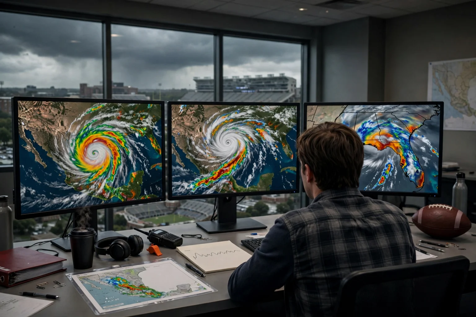
TUSCALOOSA, Ala. — Veteran Alabama meteorologist James Spann said Tuesday that a developing tropical system in the Gulf could turn one of the state’s busiest fall weekends into a “nightmare,” with Saturday’s top-10 showdown between Georgia and Alabama in Tuscaloosa among the events at risk.
No. 2 Georgia and No. 6 Alabama are scheduled to kick off at 6:30 p.m. CT Saturday at Bryant-Denny Stadium. Speaking in a phone interview early Tuesday afternoon, Spann said the worst-case forecast for that window looked grim, though he stressed that the forecast was far from settled.
A Crowded Weekend Meets a Developing Storm
The timing could hardly be worse, according to Spann. The same weekend that a possible hurricane approaches the coast, Alabama is hosting a marquee football game with a national pregame broadcast, a planned presidential visit, a major Zach Bryan concert at Auburn and the National Shrimp Festival in Gulf Shores.
“We’ve got potential for a hurricane making landfall in Mobile Bay,” Spann said. “The Alabama-Georgia game, a presidential visit, [a national pregame broadcast]. You got the big (Zach Bryan) concert at Auburn. This is the National Shrimp Festival at Gulf Shores this weekend, which is huge. I mean, you could not … it’s gonna be a nightmare.”
The National Shrimp Festival is an annual October tradition on the beach in Gulf Shores and typically draws large crowds to Baldwin County, adding to the number of visitors who could be on the coast as the storm approaches.
Moving the Game Is ‘on the Table’
The Southeastern Conference has already issued a statement saying it is monitoring the storm ahead of Saturday’s games. Spann said relocating or rescheduling the Alabama-Georgia game is a real possibility if the storm follows a worst-case path.
“The idea of moving the game, it’s on the table,” Spann said. “I’m saying it’s clearly on the table. It would be a nightmare for everybody involved. But if we do get a Category 1, Category 2 hurricane coming right up Mobile Bay Saturday morning, I don’t know if you wouldn’t be playing that game in Tuscaloosa that you’ve got the chance of winds gusting to 50 miles an hour, torrential rain and the chance of isolated tornadoes on top of everything else.”
Spann said he does not envy the decision the league may face, and he emphasized that he has no direct role in making it. He does advise Alabama officials on game days and provides forecasts to coaches for planning purposes.
Best and Worst Cases for Alabama
Barring a significant slowdown or a dramatic change in direction, Spann said the best outcome for most of Alabama would be a storm that tracks farther east, leaving much of the state on the drier western side of the system.
“But if it comes up through West Alabama or Mississippi,” Spann said, “it’s gonna be rough. I mean, real rough.”
That fits what Gulf Coast forecasters have described this week: areas east of a tropical system’s center generally face the heaviest rain, the strongest onshore winds and the greatest risk of brief tornadoes in rain bands, while areas to the west often fare better.
Spann said he was still holding out hope for a gentler outcome.
“I mean it’s just, it’s the perfect storm,” Spann said. “A hurricane, [a national pregame broadcast], a presidential visit, top-five teams playing at the same time. But again, I’m hoping the thing, maybe it’s a weaker tropical storm and the core of it passes east of here. We’re on the dry side. Or maybe it waits until Sunday, maybe it slows down and the rain holds off until Sunday. That’s on the table.”
Presidential Visit Adds Another Layer
President Donald Trump’s planned visit further complicates the picture, Spann said. Secret Service security perimeters and equipment add logistical demands that could become even harder to manage in high winds, heavy rain or tornado warnings.
Where the Storm Stands
As Spann predicted during the interview, the National Hurricane Center began issuing advisories on the system Tuesday afternoon, designating it Tropical Depression Nine. As of 4 p.m. CDT Tuesday, the depression was about 630 miles southwest of the mouth of the Mississippi River, moving east at 5 mph with sustained winds of 35 mph.
Forecasters said the depression could become Tropical Storm Isaias early Wednesday and a hurricane Thursday, possibly peaking as a Category 2 storm with winds near 100 mph before some weakening from wind shear near the coast. The hurricane center’s first track turned the system northeast toward the northern Gulf Coast by Friday, with the storm moving inland over the weekend. The center noted significant uncertainty in where the system makes that turn and how fast it moves.
If the storm is named, it will be called Isaias, a name that translates to “God is salvation.”
Why Spann Is Urging Patience
Despite the high stakes, Spann urged people to stay calm Tuesday, saying the forecast simply was not solid enough to justify any decisions yet. He expected the computer models to come into much better agreement by Wednesday afternoon.
“There’s not enough confidence in a forecast to make any decision right now,” Spann said. “We’ll have the data tomorrow. Hurricane Center will initiate advisories on it this afternoon. And (Wednesday) you’ve got the information you need to make a decision. So, we’re probably about 24 hours away (at 1 p.m. Tuesday) if they decide to move the game and hopefully they won’t.”
Beware of Fake Graphics
Spann also took aim at a fabricated graphic circulating on social media that claimed a decision about the game had already been made and attached his name to it. No such decision had been announced as of Tuesday.
“I just hate these knuckleheads on social media start sharing these fake graphics,” Spann said. “You can go there and see it. I probably had to write a big word fake across it saying there’s nothing to this.”
Fans planning to travel to Tuscaloosa, Auburn or Gulf Shores this weekend should rely on official announcements from the SEC, the universities and event organizers, and on forecasts from the National Hurricane Center and their local National Weather Service office, rather than screenshots shared on social media.
What Happens Next
With the storm expected to strengthen through midweek, the next round of hurricane center advisories will be closely watched by fans, festival-goers and coastal residents alike. If the forecast holds, Friday into early Saturday is the main window for impacts along the coast, with heavy rain, gusty winds and the potential for tornadoes spreading inland on Saturday. For now, Spann’s message is simple: stay informed, don’t panic and expect a clearer picture by Wednesday afternoon.