
Schools across the northern Gulf Coast dismiss early ahead of potential severe weather
Schools across the northern Gulf Coast, including Greene County, Miss., and Clarke and Washington counties in Alabama, dismissed early ahead of severe.
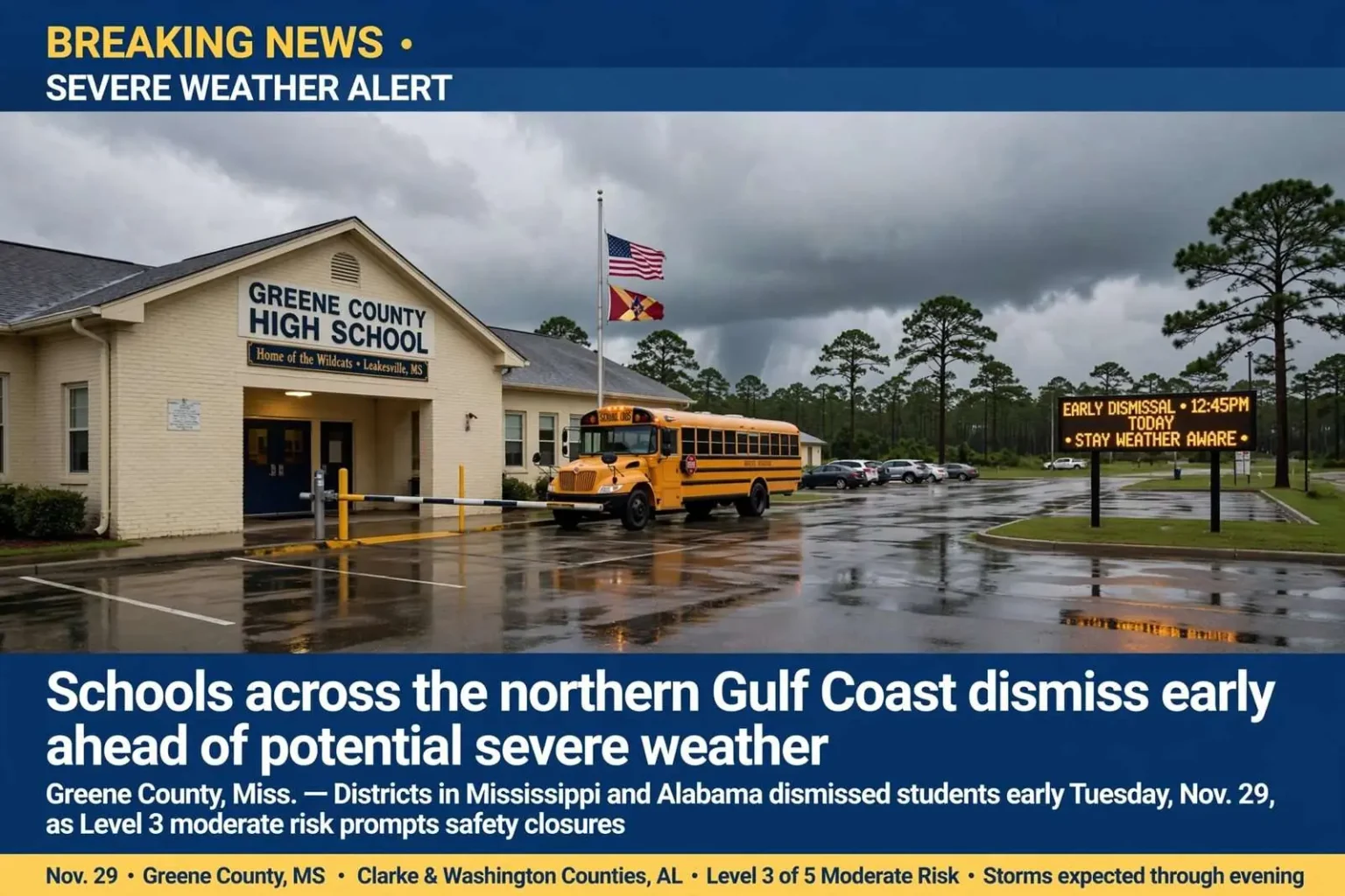
GREENE COUNTY, Miss. — Several school districts across the northern Gulf Coast dismissed students early Tuesday, Nov. 29 as severe weather threatened the area during the afternoon. Greene County High School in Leakesville, Miss., dismissed at 12:45 p.m., with other schools following shortly after.
“The safety and well being of our students, faculty, and staff are our highest priority. Thank you for your understanding,” Superintendent Charles Breland said. Thomasville City Schools and Clarke County Schools also let out early. Thomasville Elementary dismissed at 12:30 p.m., with Thomasville Middle and High School releasing at 12:45 p.m. Clarke County dismissed at 1 p.m.
Parts of Clarke and Washington counties in Alabama were under a Level 3 of 5 “moderate” risk for severe weather. Most of the region was under a Level 2 risk, with scattered storms possible through Tuesday evening bringing damaging winds, hail and a few tornadoes.
Early dismissals are a familiar rhythm for school leaders along the northern Gulf Coast, where the fall and spring severe weather seasons regularly force districts to weigh the timing of storms against the timing of the school day. The decision to release students early is rarely made casually. Administrators monitor forecasts from the National Weather Service office in Mobile throughout the morning, consult with county emergency management agencies, and try to time dismissal so that buses complete their routes before storms arrive.
The stakes are particularly high in rural districts like Greene County, where bus routes can stretch for miles across thinly populated countryside and some students ride for close to an hour between home and campus. A child stranded on a rural highway when a warned storm moves through is the scenario superintendents try hardest to avoid. Releasing school at midday — before the atmosphere typically reaches peak instability — buys that margin, even when it means disrupting family schedules.
The schools that dismissed Tuesday sit in a band of counties straddling the Mississippi-Alabama line, a region where weather systems moving in from the west often arrive in the early afternoon. For districts on the western edge of the threat zone, like Greene County, storms arriving from Mississippi tend to reach school areas first. For districts slightly farther east, the same systems arrive later, which is why dismissal times varied from district to district even on a single afternoon.
How the risk levels guided the day
The severe weather outlook used by forecasters assigns a risk category from Level 1 to Level 5, ranging from “marginal” through “slight” and “enhanced” up to “moderate” and “high.” A Level 3 of 5 “moderate” risk is an unusually serious designation for the region and signals that forecasters expect organized storms capable of producing significant impacts. That a portion of Clarke and Washington counties in Alabama fell into that category explains the urgency behind the afternoon announcements.
A Level 2 risk, which covered most of the rest of the region, still carries real consequences. Forecasters warned of scattered storms possible through Tuesday evening, with damaging winds, hail and a few tornadoes among the threats. In practical terms, that means residents should expect storms capable of downing trees and power lines, generating small hail that can damage vehicles and crops, and spinning up isolated tornadoes that can strike with little warning in fast-moving squall lines.
For families across the region, the notification process for early dismissals has improved considerably over the past decade. Districts now push alerts through automated phone calls, text messages and social media in addition to local radio and television. But the system still depends on adults being reachable during the day, which can be a challenge in communities where many parents work hourly jobs or commute to Mobile, Hattiesburg or other employment centers. Grandparents and neighbors often step in to receive students on short notice.
Greene County, Mississippi’s least populous county, operates a small school system centered in Leakesville, the county seat along Highway 63 north of U.S. 98. When the high school dismisses at 12:45 p.m., the ripple effect reaches every corner of the county, because the student body is compact and the community closely knit. Superintendent Charles Breland’s message thanking families for their understanding reflected the trade-off communities accept in these situations: instructional time is lost, but students are safely home.
Thomasville, the seat of Clarke County, Alabama, anchors a city school system distinct from the surrounding county district. The staggered dismissal times announced Tuesday — Thomasville Elementary at 12:30 p.m., Thomasville Middle and High School at 12:45 p.m., and Clarke County schools at 1 p.m. — followed a pattern common in the region. Younger children are typically released first because elementary students are more difficult to hand off safely in deteriorating weather and because older students can be trusted to move directly home or to waiting rides.
Clarke County is one of Alabama’s larger counties by land area, and its school district serves communities including Grove Hill, Jackson and Thomasville, with bus routes that fan out across piney woods and farmland. A 1 p.m. dismissal still allows buses to complete most routes before mid-afternoon, when the storms in a setup like Tuesday’s are generally expected to intensify.
A region that knows severe weather seasons well
The northern Gulf Coast experiences two peaks in severe weather activity each year. The fall season, roughly November through early December, brings fast-moving cold fronts that often produce squall lines with embedded tornadoes. The spring season, February through April, is historically the most dangerous, delivering some of the region’s most destructive tornado outbreaks. November events like Tuesday’s threat tend to involve storms moving at highway speed, which shortens warning times and raises the premium on early decisions by schools and businesses.
Damaging straight-line winds are the most common hazard in these events. Downburst winds from a line of thunderstorms can exceed hurricane force across a swath dozens of miles wide, snapping pines that dominate the landscape in Clarke, Washington and Greene counties. Falling trees are a persistent killer and a routine cause of blocked roads and extended power outages after such events, and utility crews across the two states often spend the evening and next morning restoring service.
Hail, while less dangerous than wind or tornadoes, adds its own hazards, capable of damaging rooftops, vehicles and winter crops in rural areas. The tornado threat, though described by forecasters as involving only a few twisters, is the element that shapes public response the most. Even a brief tornado touching down along a squall line can level mobile homes, which are common across this part of the South, and emergency managers routinely urge residents of manufactured housing to identify sturdier shelter well before warnings are issued.
County emergency management agencies in both states activated their usual routines for a moderate-risk day: monitoring radar, coordinating with the National Weather Service in Mobile, and preparing to relay warnings to schools, nursing homes and industry. Many school systems across southern Mississippi and southwestern Alabama have designated storm shelters or safer rooms on campus, and building-level administrators review those procedures each fall so that an afternoon like Tuesday requires response rather than improvisation.
The broader lesson from days like this one is that the storm threat along the northern Gulf Coast rarely ends at the county line. A system targeting Clarke and Washington counties on the Alabama side carries wind fields and instability that extend across the state line into Greene and Wayne counties in Mississippi, which is why school districts on both sides of the border coordinated similar decisions within the same hour.
As the evening approached, residents across the region were encouraged to keep multiple ways of receiving warnings — a NOAA weather radio, a charged phone with alerts enabled, and local broadcast media — in case storms intensified after dark. Nighttime tornadoes are disproportionately deadly in the Southeast, where many homes lack basements, and forecasters stressed that the threat would persist through Tuesday evening even after school zones had emptied.
Weather service meteorologists emphasize that outlook levels describe the overall environment, not a guarantee for any single community. A Level 3 moderate risk raises the odds of significant severe weather, but tornadoes and damaging wind reports can still occur outside the highest-risk zone, while the heart of the moderate area may escape with only brief storms. That uncertainty is another reason school officials across the entire outlook area, not just the Level 3 counties, chose to act early.
By the time the last buses rolled and the first storm cells developed to the west, the region’s school districts had done what they have learned to do in a decade that includes some of Alabama’s and Mississippi’s worst severe weather events: they moved students out of harm’s way early, communicated the reasons clearly, and waited out the storms like everyone else. For superintendents in Leakesville, Thomasville and Grove Hill, that combination of caution and coordination has become the standard playbook for a fall severe weather season that is not yet over.