Hurricane Sally could hit Alabama on 16th anniversary of Ivan’s landfall
If Hurricane Sally makes landfall in Alabama this week, it will arrive 16 years to the day after Hurricane Ivan struck South Baldwin County in 2004.
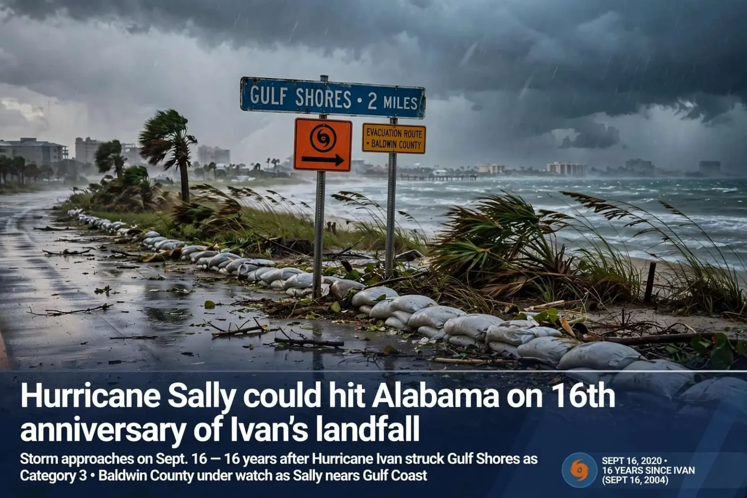
If Hurricane Sally makes landfall in Alabama on Wednesday, it will arrive 16 years to the day after the last hurricane to strike the state. Hurricane Ivan came ashore in South Baldwin County on Sept. 16, 2004, and in the years since, a number of tropical storms and depressions have affected Alabama — but Ivan remains the most recent hurricane to make landfall within the state’s borders.
Hurricane Katrina caused tremendous damage in Alabama in 2005, but the massive storm came ashore at the Mississippi-Louisiana border rather than in Alabama, sparing the state the technical distinction of a landfall even as it devastated coastal communities from Bayou La Batre to Orange Beach. That quirk of geography is why the anniversary arithmetic leads back to Ivan, a storm that coastal Alabama residents of a certain age remember in vivid detail.
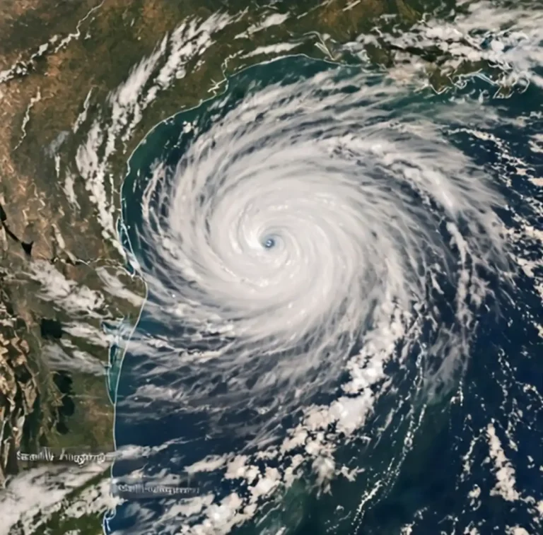
Forecasters were monitoring Sally as it churned toward the northern Gulf Coast, with the Alabama shoreline squarely in the cone of uncertainty. The storm’s slow, wandering approach had kept residents along the Gulf guessing for days, and officials urged people across the region to review their hurricane plans as the anniversary of Ivan approached — a coincidence of the calendar that gave the warnings an added weight for anyone who lived through 2004.
What Ivan did to coastal Alabama
Ivan made landfall in the early morning hours of Sept. 16, 2004, near Gulf Shores as a Category 3 hurricane, and the storm’s effects were felt across the entire state and well beyond its borders. The hurricane’s wind field was enormous, pushing storm surge over the barrier islands, tearing apart sections of the Interstate 10 bridge system, and flattening dune lines that had taken decades to form. Thousands of homes along the Baldwin County coast were damaged or destroyed, and the storm’s path of destruction continued inland through the Montgomery area and into the Southeast before the remnants finally moved away.
The I-10 Bayway crossing Mobile Bay was knocked out of service when storm surge and waves lifted sections of the bridge deck out of place, cutting the main east-west artery for the central Gulf Coast at the height of the recovery period. The replacement and repair work stretched on for weeks, and commuters and freight haulers were forced onto long detours through downtown Mobile and up through the interior counties. The damage to the bridge became one of the enduring images of the storm, alongside the destroyed condominium projects and stripped beaches of the Pleasure Island and Orange Beach shoreline.
In the years since Ivan, coastal Alabama has rebuilt dramatically. The beachfront condominium skyline of Gulf Shores and Orange Beach has grown taller than it was before the storm, new homes have been built to stricter modern wind codes, and the tourism economy that drives the Baldwin County coast has expanded year after year. But the memory of Ivan is baked into the way the coast prepares for storms. Evacuation route signs, revised building codes, improved surge mapping, and a generation of residents who know exactly what a hurricane can do all trace their present form to that September morning in 2004.
Sally’s slow, worrying approach
Sally presented forecasters and residents with a familiar Gulf Coast problem: a storm whose future track was genuinely uncertain days in advance. The cone of uncertainty put the Alabama shoreline squarely at risk, and even small wobbles in the storm’s path could shift the worst impacts by dozens of miles in either direction. Residents from the Mississippi line to the Florida Panhandle watched each forecast cycle closely, knowing that the difference between a landfall in Baldwin County and one 50 miles east or west could mean the difference between clearing debris and riding out a core impact.
Slow-moving Gulf storms carry their own particular dangers. When a hurricane lingers, rain bands sweep over the same areas again and again, stacking up rainfall totals that can produce flooding far inland from where the winds do their damage. Emergency managers in Mobile and Baldwin counties stressed that residents should not focus solely on the category number on the forecast map — a lower-category storm that sits and spins can drop dangerous amounts of rain, push prolonged surge into bays and rivers, and leave roads impassable for days.
The anniversary timing added a psychological dimension to the preparations. Sixteen years is long enough for an entire generation of coastal residents to have grown up without experiencing a hurricane landfall in Alabama firsthand, and newcomer families who moved to the coast during the building boom of the past two decades have never seen a storm like Ivan at all. Local officials have long worried about that gap in experience, and each storm season they renew the same basic advice: know your evacuation zone, keep supplies on hand, secure property early, and take the order to leave seriously when it comes.
Between Ivan and Sally: a quiet streak
The 16-year gap between Ivan’s landfall and a potential Sally landfall is the longest such stretch coastal Alabama has experienced in the modern record, and it is in many ways a statistical gift rather than a sign of safety. Tropical systems have affected the state repeatedly during that span. Tropical storms have come ashore or brushed the coast, depressions have soaked the interior, and near-misses have tested the coast’s readiness more than once. Hurricane Katrina in 2005 stands apart among them — a storm that did not make landfall in Alabama but inflicted catastrophic wind damage and surge on the state’s coastline nonetheless.
Katrina’s Alabama toll was concentrated along the shore of Mobile Bay and in south Mobile County. Communities such as Bayou La Batre, Coden, and Dauphin Island took devastating damage from surge that topped homes and destroyed the working waterfronts the towns depend on. Dauphin Island has been cut through by storm channels more than once over the decades, and Katrina reopened wounds on the barrier island that took years and repeated renourishment efforts to address. The storm’s landfall point at the Mississippi-Louisiana line placed Alabama on the weaker eastern side of the eye, a fact that matters little to families who lost homes on the island or the bay shore.
Since then, the coast has been brushed by systems whose impacts served as reminders without catastrophes. Hurricane forecasts have also improved enormously since 2004, with track errors cut dramatically at the three-day and five-day ranges and intensity forecasting steadily improving. But the fundamental uncertainty of a storm like Sally — one that forms and strengthens close to home and moves slowly — remains a forecasting challenge, and officials continue to urge residents to prepare for the impacts that are certain, whatever the exact landfall point turns out to be: rain, surge, wind, tornadoes in the outer bands, and days of disruption afterward.
What residents were urged to do
As Sally approached, the standard advice carried new urgency. Emergency managers urged residents to review written hurricane plans with their households: where to go if an evacuation is ordered, how family members will communicate if phone service fails, what medications and documents need to travel, and how pets will be handled, since not all shelters accept animals. Supplies were the other half of the equation — water, nonperishable food, batteries, flashlights, fuel for vehicles and generators, and cash — with the reminder that the days after a landfall can bring widespread power outages and closed stores even in areas spared the worst damage.
Coastal and low-lying residents were reminded of the surge history of their own neighborhoods. The bayside communities of Baldwin County and the shorelines of Mobile Bay flood in ways that inland residents often fail to anticipate, and rise forecasts have repeatedly shown that surge can travel far up rivers and bays, inundating places miles from the open Gulf. Mobile Bay’s shape tends to amplify surge on its eastern shore when winds push from the south, a dynamic that has repeatedly flooded communities on the Eastern Shore in past storms.
Inland residents were not left out of the warnings. Ivan’s remnants proved destructive far from the coast, and hurricanes that make landfall in south Alabama routinely bring flooding rain and spin-up tornadoes to Montgomery, the Black Belt, and beyond. Utilities staged crews, school systems made decisions about closures, and state and local emergency agencies moved to their heightened readiness postures, all of it part of the rhythm that every Gulf Coast resident comes to know when a storm takes aim at the northern Gulf.
An anniversary nobody wanted
Whether Sally comes ashore on the exact anniversary of Ivan or slips by to the east or west, the coincidence of dates has served as a natural reminder of what coastal Alabama stands to lose and how much depends on preparation. The state’s hurricane history — Frederic in 1979, Ivan in 2004, Katrina’s devastation in 2005, and the near-misses between and since — has shaped everything from insurance rates to evacuation routing to the way new buildings are engineered.
For the residents who lived through Ivan, the approach of a storm 16 years to the day later was unlikely to feel like an abstraction. The calendar coincidence reinforced the essential message emergency officials have repeated all week: review your plan, finish your preparations, and be ready to act on official instructions. The Gulf has a long memory, and so does coastal Alabama.