South Alabama’s Extended Forecast: Hot Days, Afternoon Storm Chances Through the Weekend
South Alabama is in for a stretch of hot, mostly sunny days this week, with afternoon storm chances building toward a wetter weekend, per the latest NWS forecast.
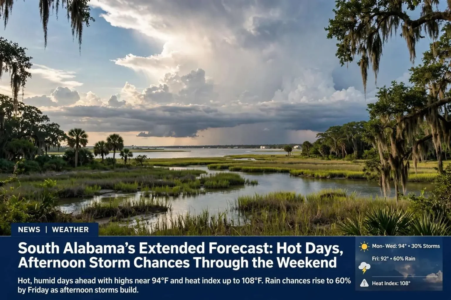
South Alabama can expect a stretch of hot, mostly sunny days this week, with afternoon shower and thunderstorm chances building toward the weekend, according to the latest National Weather Service forecast. The pattern is a familiar one for the central Gulf Coast in late summer: mornings that start bright and already humid, a rapid climb into the low-to-mid 90s by mid-afternoon, and scattered storms firing along the sea breeze boundary as the day heats up. Forecasters say residents across Mobile, Baldwin and surrounding counties should plan outdoor activities around the afternoon hours, when both the heat and the storm risk peak.
The extended outlook holds few surprises for anyone who has lived through a Gulf Coast summer. Daytime highs will sit in the low-to-mid 90s throughout the week, overnight lows will stay in the mid 70s, and rain chances will gradually climb from 30 percent early in the week to a 60 percent chance by Friday. Heat index values, which combine temperature and humidity to measure how hot it actually feels, will approach 108 degrees at their worst, putting outdoor workers, athletes and anyone without reliable air conditioning at elevated risk for heat-related illness.
Monday Through Wednesday: Hot and Mostly Sunny
Monday brought a 30 percent chance of showers and thunderstorms, mainly between 1 and 4 p.m., with mostly sunny skies, a high near 94 degrees, and heat index values as high as 108. Winds were light out of the southwest around 5 mph, with only a 10 percent chance of overnight showers before 7 p.m. and a low around 77. That combination of afternoon storm coverage and dangerous heat index readings is standard fare for August along the Alabama coast, where moisture streaming in from the Gulf gives the atmosphere plenty of fuel for brief but intense downpours.
Tuesday looks similar, with a 30 percent chance of showers and storms after 1 p.m., a high near 94, and heat index values as high as 107. West winds will stay light around 5 mph, with mostly clear conditions overnight and a low near 76. Forecasters note that when rain chances sit at 30 percent, most neighborhoods will stay dry on any given day, but the storms that do develop can quickly dump heavy rain, produce frequent lightning and briefly knock down gusty winds before moving on.
Wednesday continues the pattern with a 30 percent chance of afternoon showers and storms and a high near 94. Overnight, there is a 20 percent chance of showers before 1 a.m., with a low around 75 and winds becoming calm in the evening. The midweek stretch offers essentially no relief from the heat, and the warm overnight lows mean little cooling for homes and businesses that shut their air conditioning down at night. Residents are encouraged to keep water handy, limit strenuous activity to the early morning or evening, and check on elderly neighbors during the hottest stretch of the afternoon.
Why Afternoon Storms Dominate the Summer Forecast
The daily rhythm behind this week’s forecast is driven largely by the sea breeze, a wind shift that forms as the sun heats the land faster than the Gulf waters offshore. By early afternoon, cooler marine air pushes inland and collides with the hot, unstable air over the coastal plain, providing the lift needed to pop showers and thunderstorms along an inland boundary. On days with weaker upper-level winds, like this week, those storms tend to drift slowly and produce locally heavy rainfall totals, even when the overall coverage is scattered.
The National Weather Service office serving south Alabama issues these day-to-day forecasts from its forecast office, which monitors conditions across the Gulf Coast region around the clock. Meteorologists there emphasize that summer rain chances are never evenly distributed: one part of a county can pick up a fast-moving downpour while another location a few miles away stays completely dry. That is why forecasters frame the outlook in probabilities rather than promises, and why a 30 percent rain chance does not guarantee anyone will actually see rain.
Thursday and Friday: Rain Chances Increase
Thursday brings another 30 percent chance of afternoon showers and thunderstorms with a high near 93, followed by a 30 percent overnight chance and a low around 75. By Thursday, the atmosphere will have spent several days accumulating moisture, and forecasters watch for that added humidity to translate into somewhat heavier downpours even if storm coverage stays scattered. Anyone with evening plans outdoors should still keep an eye on the sky, since storms that form after sunset can linger into the overnight hours.
Friday’s forecast trends wetter, with showers and thunderstorms likely after 1 p.m. and a 60 percent overall chance of precipitation. Highs will stay near 92, with a low around 74 overnight and a continued 30 percent rain chance. A 60 percent chance means storms are expected to cover a majority of the area at some point during the afternoon, so Friday is the day this week most likely to deliver widespread rain, along with the lightning, brief gusty winds and the potential for localized flooding in low-lying spots that typically accompany Gulf Coast thunderstorms.
For commuters and school families, the wetter Friday forecast matters for the afternoon drive home. Slow-moving summer storms can reduce visibility dramatically in a matter of minutes, and ponding on roadways is common where drainage is poor. Safety officials routinely remind drivers to turn around when encountering flooded streets rather than trying to push through standing water of unknown depth, a message that becomes especially relevant on days when rain coverage climbs above 50 percent.
Weekend Outlook: Best Chance for Rain Relief
The weekend brings the best chance for rain relief. Saturday calls for a 50 percent chance of showers and thunderstorms with a high near 92, dropping to a 20 percent overnight chance and a low around 73. Sunday looks slightly drier, with a 20 percent chance of showers and a high near 92. Even with elevated rain chances, temperatures will barely budge, because thick clouds and showers only temporarily knock back the heat before the sun returns and humidity rebuilds.
The cloudier, stormier weekend pattern will be welcome news for lawns, gardens and farmers’ fields that have baked under repeated stretches of sunshine and heat index values well above 100. Slow, steady soakings from scattered storms do more good than the brief violent downpours that run off parched ground, and forecasters note that coverage over multiple days gives the region a better shot at meaningful rainfall totals than any single afternoon storm can provide.
Beachgoers heading to the sugar-white sand along the Alabama coast this weekend should pay close attention to changing conditions. Afternoon thunderstorms can build quickly over the Gulf and move ashore with little notice, and lightning from a storm still miles offshore can reach the beach before any rain arrives. Lifeguards and local officials advise clearing the sand at the first sign of an approaching storm and waiting a substantial period after the last thunder before returning to the water.
Staying Safe in the Heat While You Wait on the Rain
With heat index values pushing 107 to 108 degrees during the first half of the week, health officials stress that heat illness can develop faster than most people expect. The combination of high humidity and full sunshine limits the body’s ability to cool itself through sweating, so experts recommend drinking water before you feel thirsty, wearing light-colored loose clothing, and taking frequent breaks in air conditioning when working or exercising outdoors. Children and pets should never be left in parked vehicles, where interior temperatures can reach lethal levels in minutes even when the outside air is in the 90s.
Signs of heat exhaustion include heavy sweating, weakness, dizziness, nausea and headache, and the recommended response is to move to a cooler location, sip water and loosen clothing. Heat stroke, marked by confusion, a body temperature above 103 degrees or a loss of consciousness, is a medical emergency that requires an immediate 911 call. Residents who work outdoors, from construction crews to landscaping teams, are encouraged to shift the heaviest tasks to the early morning hours while temperatures are still in the 70s and 80s.
Looking Ahead
Forecasters say the pattern of hot afternoons with scattered storm chances is expected to hold through the week, with only slight day-to-day variation in rain coverage and temperatures staying in the low-to-mid 90s. In other words, no dramatic cool-down and no washout, just the steady late-summer rhythm that defines August on the Alabama Gulf Coast. The gradual increase in rain chances toward Friday and Saturday offers the best odds of a genuine soaker, while the early week remains the hottest stretch.
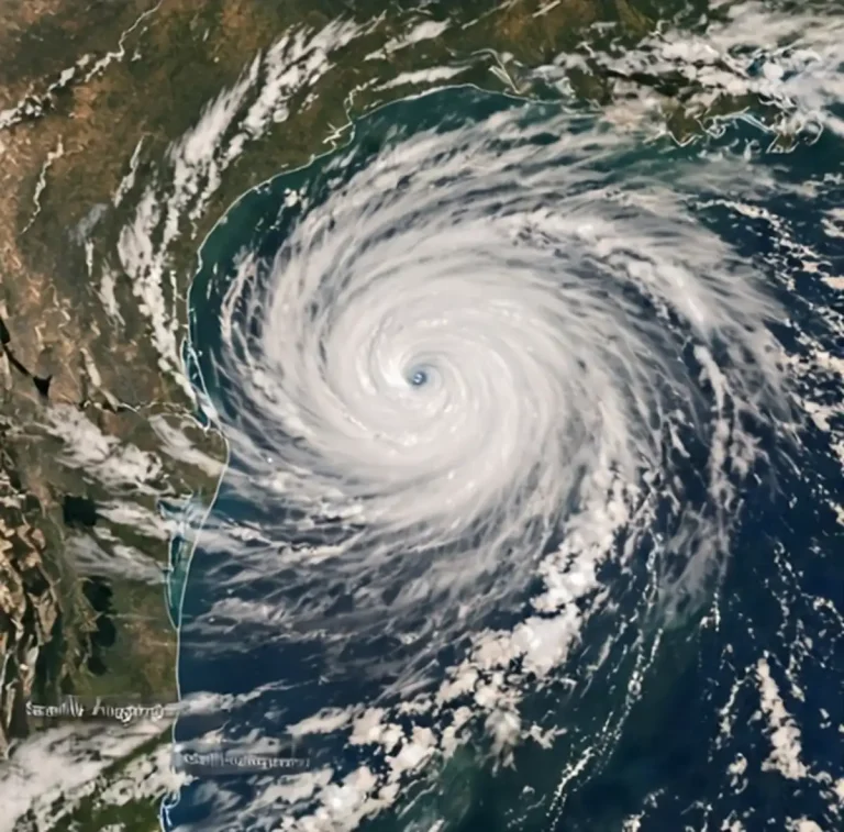
The extended pattern also reflects the larger seasonal picture for south Alabama, where the peak of the Atlantic hurricane season still lies ahead and tropical moisture can quickly amplify ordinary afternoon storminess into rounds of heavy rain. For now, no organized tropical systems are part of this week’s forecast, and the daily sea breeze storms remain the primary weather story. Residents can expect the familiar cycle to continue: bright, steamy mornings, a climb toward the mid 90s, storm clouds building over the interior by early afternoon, and a gradual push of showers toward the coast and the I-10 corridor as evening approaches.
For the latest updates, including any changes to rain coverage or heat advisories, residents can follow forecasts from the National Weather Service, which refreshes its south Alabama outlook throughout the day. With highs near 94, heat indices approaching 108 and storm chances climbing from 30 percent to 60 percent by Friday, the practical takeaway for the week is simple: plan around the heat, watch the sky after lunch, and keep an umbrella close at hand from Friday through the weekend.