Why the Atlantic Has Gone Quiet Just as Hurricane Season Enters Its Most Active Stretch
An early, unusually strong El Niño is generating hostile wind shear across the Atlantic, Caribbean and Gulf, keeping the tropics quiet even as hurricane season enters its historically most active stretch.
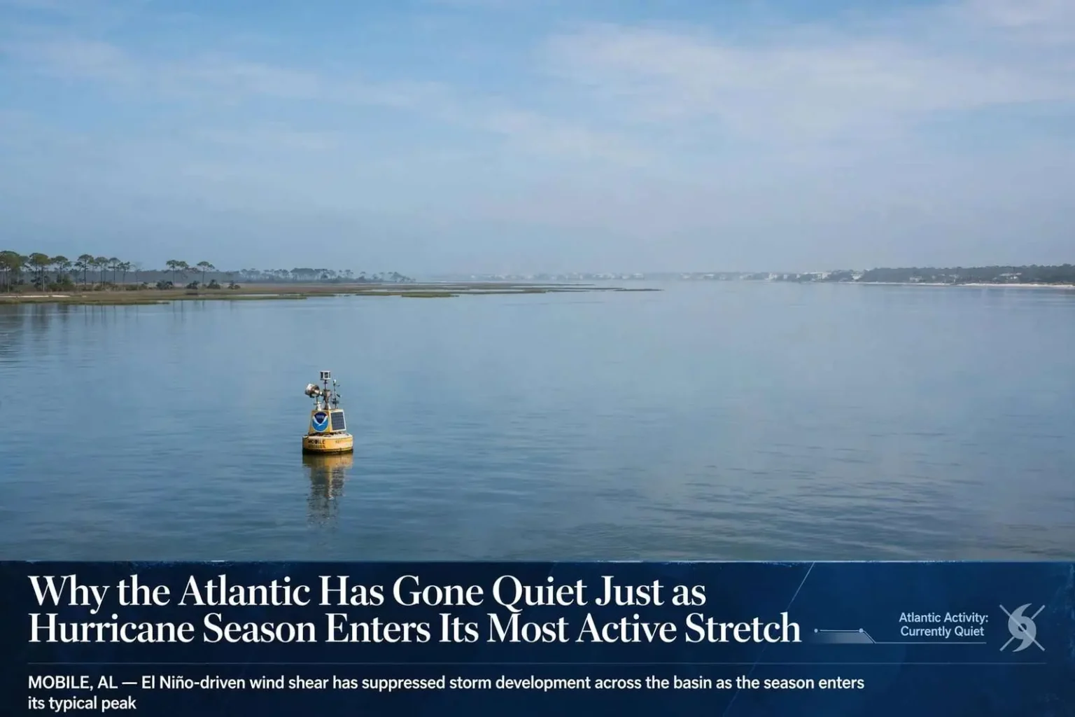
MOBILE, Ala. — The Atlantic hurricane season is entering the stretch of the calendar when it typically ramps up, yet the basin is currently calm. Forecasters point to an unusually strong, early-arriving El Niño pattern as the main reason storm activity has stayed suppressed even as the season’s climatological engine starts to rev up.
The timing of the lull is what makes it unusual. The Atlantic does not distribute its storms evenly across six months. The early portion of the season, from June into July, usually produces modest activity in the Caribbean and the Gulf of Mexico, and long stretches of silence are common. By mid-August, however, the atmosphere and ocean reach a state in which tropical waves rolling off the west coast of Africa can organize and strengthen far more readily. Forecasters call this the transition into the season’s most active phase, and history shows the bulk of named storms and nearly all of the season’s major hurricanes form from this point forward.
The Calendar Says It’s Time to Get Active
Mid-August traditionally marks the beginning of the most active phase of the Atlantic tropical season. Activity typically builds from here, peaking between Sept. 10 and Sept. 13, and continuing at an elevated level through October. For coastal Alabama and the broader Gulf Coast, this stretch of the calendar is historically the period requiring the closest attention. Many of the storms that have left the deepest marks on the region — from Frederic in 1979 to Ivan in 2004, Katrina in 2005 and Sally in 2020 — all developed or struck during this late-summer window.
Despite that timing, the Atlantic basin is currently completely quiet. Satellite imagery shows no organized areas of disturbed weather under investigation, no invest areas being monitored for development, and no named systems anywhere from the Cape Verde islands to the western Caribbean. That’s a notable turn, given that the basin saw active tropical waves and even a tropical storm just last week. The sudden lull, arriving right as the season should be gaining momentum, has been the focus of forecasters trying to explain what’s holding development in check.
The silence extends across all three of the basin’s main development regions. The tropical Atlantic east of the Lesser Antilles, where August and September waves typically spin up, has been hostile. The Caribbean Sea, often a breeding ground early in the season, has offered no support for organization. And the Gulf of Mexico itself — the basin that matters most directly for Mobile, Baldwin and the rest of the northern Gulf coast — has remained free of any systems with tropical characteristics. Residents who lived through the busiest Augembers of recent decades know that this can change in a matter of days, which is why emergency managers caution against reading the quiet maps as a sign the season is over.
A Predictable Peak Arrives Early
The seasonal peak around Sept. 10 through Sept. 13 is not an arbitrary date on the calendar. It marks the point when several ingredients line up at once: ocean water reaches its annual maximum warmth, wind shear across the deep tropics relaxes to its lowest levels, and a steady procession of tropical waves exits the African coast every few days. In a normal year, that combination produces a rapid-fire series of storms through September. This year, forecasters say, one of those ingredients has been removed from the equation in a dramatic way, and the absence of it explains why an otherwise primed basin sits empty.
The primary culprit behind the quiet stretch is hostile upper-level wind shear. Strong shear is currently spread across the Atlantic, the northern Caribbean and the Gulf, actively working against the kind of storm organization needed for tropical development. Wind shear, the change in wind speed and direction with height, can tear apart a budding storm’s structure before it has a chance to strengthen, and right now it is widespread across the exact areas where storms would otherwise be expected to form.
For a tropical system, shear is among the most destructive forces in the atmosphere. A developing hurricane depends on a tall column of rising air that stays stacked directly over itself, allowing thunderstorms to wrap around a common center and build inward. When strong winds blow across the top of that column, the storm’s heat and moisture get carried downstream, its center becomes tilted, and the thunderstorms can no longer concentrate around the core. Systems caught in heavy shear often survive only as broad, lopsided areas of showers, unable to tighten into anything with sustained winds worth naming.
That hostile wind pattern isn’t happening in isolation. Forecasters say it is being driven by an El Niño event that developed well ahead of its usual schedule this year. Water temperatures associated with the pattern are approaching 2 degrees Celsius above normal, a threshold that qualifies as what forecasters call a “super El Niño.” Most El Niño episodes take shape through the fall and reach peak strength in winter, so an event this strong arriving by late summer has reshaped the hurricane season outlook in ways forecasters did not anticipate when the season began.
How El Niño Tamps Down Atlantic Storms
El Niño refers to a periodic warming of the eastern and central tropical Pacific Ocean, but its influence reaches far beyond the Pacific. The warmer water shifts the pattern of rising air and thunderstorms across the tropics, which in turn alters the upper-level winds that flow thousands of miles away over the Atlantic. During El Niño years, stronger westerly winds aloft sweep across the Caribbean Sea and the tropical Atlantic, increasing shear directly over the regions where Atlantic hurricanes are born.
The historical record bears this out clearly. Past strong El Niño seasons, such as 1997 and 2015, produced below-average Atlantic activity even when ocean temperatures elsewhere were favorable, because the shear prevented storms from organizing. In those years, the busiest basins shifted to the Pacific, where El Niño’s warmth actually encourages development. Forecasters monitoring the current event note the same signature: conditions in the eastern Pacific have turned active while the Atlantic side of the hemisphere has shut down.
The near-2-degree-Celsius anomaly matters because El Niño classification is based on specific thresholds. A warming of a half-degree to one degree above normal typically qualifies as a weak to moderate event, while readings approaching two degrees place an episode among the strongest on record. Such events tend to have the most pronounced effect on Atlantic wind patterns, and forecasters say the current reading puts this year’s episode in that elite and disruptive category.
The early timing compounds the effect. El Niño episodes that mature in late summer and fall overlap directly with the Aug. 20-to-Oct. 31 window that accounts for the vast majority of Atlantic hurricane activity. An event that arrives in winter, after the season has passed, has little influence on storm counts. This year’s early development means the shear-enhancing pattern will be at full strength precisely when the basin would otherwise be at its most productive, effectively parking a roadblock across the season’s busiest lane.
For coastal Alabama, the quiet basin offers a welcome breather but not a reason for complacency. Emergency management officials across Mobile and Baldwin counties consistently remind residents that seasonal forecasts describe the whole basin, not any single stretch of coastline, and that a single landfalling storm defines the season for whoever takes the hit. Communities along Mobile Bay, the Eastern Shore and the Fort Morgan peninsula carry the memory of past September strikes, and preparedness officials urge households to use quiet stretches to finish plans rather than to shelve them.
What the Gulf Coast Should Watch
Even in El Niño years, the Gulf of Mexico is never entirely off the table. Storms that do form in a suppressed season more often develop closer to home — in the Gulf or the Caribbean — where local conditions can occasionally overcome the large-scale shear. Because these homegrown systems typically have less lead time than hurricanes that cross the entire Atlantic, they can compress preparation schedules for coastal residents. Forecasters say the prevailing shear makes development difficult everywhere right now, but patterns like this can break down locally for a few days at a time.
The rest of the season will hinge on how long the super El Niño pattern holds. As long as the current configuration persists, forecasters expect the basin to remain largely quiet through the climatological peak in mid-September, a stark contrast to the pace residents are accustomed to. Any relaxation of the shear, or any shift in the pattern, would open the door for development to resume quickly, since ocean heat content across the tropical Atlantic and Gulf remains more than sufficient to fuel storms.
Residents who use the lull productively gain the most from it. Emergency managers recommend verifying insurance coverage now, since flood policies typically carry a waiting period before taking effect, and homeowners insurance generally excludes flood damage entirely. Photographs of home interiors and exteriors, copies of key documents in waterproof storage, and a stocked supply kit covering several days without power are all steps best taken before any storm threatens. Gas, water, batteries, medications and cash are the staples that disappear from store shelves fastest once a watch or warning is posted.
For now, the Gulf Coast watches an empty Atlantic at the very moment the calendar says it should be crowded. The pause is real, and forecasters understand its cause well enough to explain it. But they are also quick to note that hurricane seasons are judged not by their quiet weeks but by their worst ones, and that the season has nearly two more months to run. The prudent course, veterans of past Gulf storms agree, is to enjoy the calm weather while it lasts — and to stay ready for the moment the pattern finally breaks.