
Strengthening El Niño Could Bring Wetter Winter, Slight Snow Chance to South Alabama
Alabama's State Climatologist says a strengthening, potentially record-setting El Niño could bring a wetter winter and a slightly better chance of snow to south Alabama.
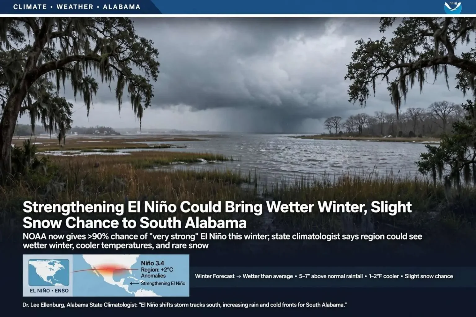
A strengthening El Niño pattern, officially declared by NOAA in June, is on track to be one of the strongest on record, and Alabama’s new State Climatologist says it could shape the state’s weather through the winter months. NOAA’s Climate Prediction Center reported this month that there is now a greater than 90 percent chance the event reaches “very strong” status, with some forecasters informally calling it a “Godzilla El Niño.”
Dr. Lee Ellenburg, who took over as Alabama’s State Climatologist earlier this year from longtime climatologist Dr. John Christy, explained that El Niño is one phase of the El Niño Southern Oscillation, or ENSO, a cycle describing changes in Pacific Ocean temperatures and atmospheric circulation. When waters off the coast of South America warm above average, it’s called El Niño; when they cool, it’s La Niña; near-average conditions are considered “ENSO neutral.”
“The Pacific Ocean does not directly determine our weather, but it helps rearrange the atmosphere that makes some weather more likely than others,” Ellenburg said, describing the phenomenon known as teleconnection, in which distant ocean temperatures influence weather patterns far away, including in Alabama.
Because El Niño years tend to bring fewer Atlantic tropical storms and hurricanes, NOAA is forecasting a below-average tropical season this year. Ellenburg noted that south Alabama often relies on tropical systems for added rainfall, so fewer storms could mean a drier fall. Combined with drought conditions the state saw over the past fall and winter, he said the region could be more vulnerable to drought returning quickly.
“I grew up hearing we’re always two weeks away from a drought in Alabama, and it’s more so the case right now because we didn’t have that recharge over the winter,” Ellenburg said. “So I think this fall we could be more susceptible to drought.”
Winter is where El Niño’s influence is expected to be felt most, according to Ellenburg. A strong El Niño typically pushes storm tracks farther south, funneling more cold fronts into Alabama and raising the odds of a wetter-than-average winter, especially in south Alabama — potentially five to seven inches above normal if current trends hold. Temperatures could run slightly cooler than normal, by roughly one to two degrees on average.
As for snow, Ellenburg said there’s no definitive answer. Alabama’s biggest blizzards, including in 1993 and 1964, occurred during El Niño years, but last year’s major Gulf Coast snow event happened during a La Niña. Looking at historical averages, he said El Niño years tend to produce roughly an inch more snow than La Niña years for the middle of the state — a modest signal, not a guarantee.
“El Niño is not a weather forecast,” Ellenburg said. “It’s not going to determine an individual day’s weather, it’s just saying that when these systems come through they are likely to track a bit further south. More than likely we’re going to get a little bit more rain than usual and we’re going to get a couple more shots of cold air during our winter season.”
How El Niño Is Measured
NOAA declares El Niño conditions when sea surface temperatures in a key stretch of the east-central equatorial Pacific, known as the Niño 3.4 region, run at least 0.5 degrees Celsius above average and the atmosphere shows a matching response that is expected to persist. Events in which that region warms roughly 2 degrees Celsius or more above average are generally described as very strong. The 1982-83, 1997-98 and 2015-16 events are among the strongest in the modern record, and the “Godzilla El Niño” nickname was widely used during the 2015-16 event.